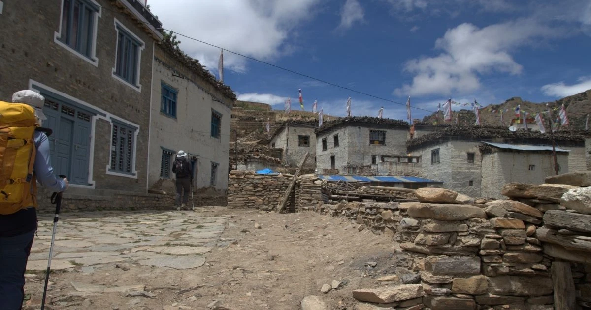
Upper Mustang Trek – 15 Days

Quick Facts
  • Trip Duration15 Days
  • Destination Nepal
  • Difficulty Level Moderate
  • Maximum Altitude 4,230 m (Chogo La pass, also known as Marang La)
  • Activity Trekking and Cultural Exploration
  • Starts/Ends Kathmandu / Kathmandu
  • Group Size 1 - 16
  • Transportation Private vehicle drive
  • Best Season Spring (March – May), Summer/Monsoon (June – August), and Autumn (September – November)
  • Accommodation Teahouse and Lodge
  • Avg. hours of walk/day 5 – 7 hours
  • Comfort Standard to basic
  • Interest option Forbidden Kingdom of Lo, ancient cave civilizations, century-old Tibetan monasteries, red rock cliffs, and rain-shadow landscapes.

Upper Mustang Trek Trail Psychology

How You Feel During the Trek

Anticipation → Desolation → Awe → Exposure → Focus → Fulfillment

  • Anticipation: The trek starts in the green lakeside city of Pokhara. As you see the tall Annapurna mountains, the anticipation of reaching Upper Mustang also begins.
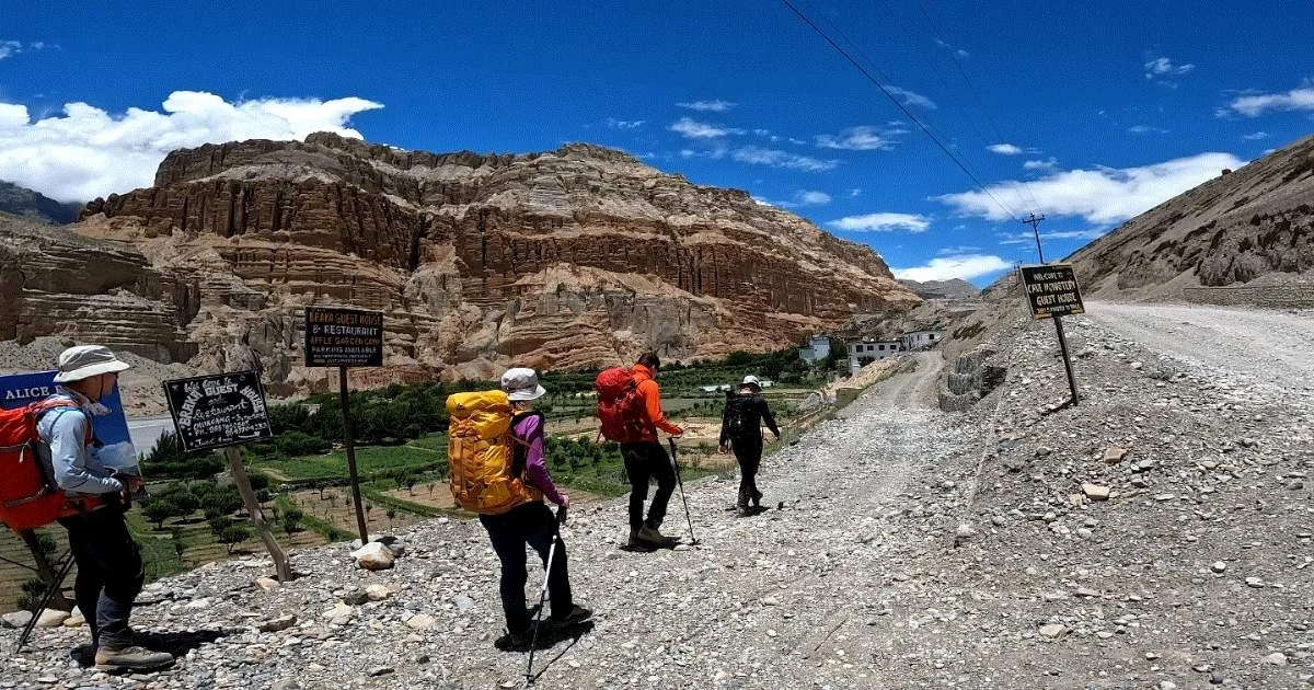
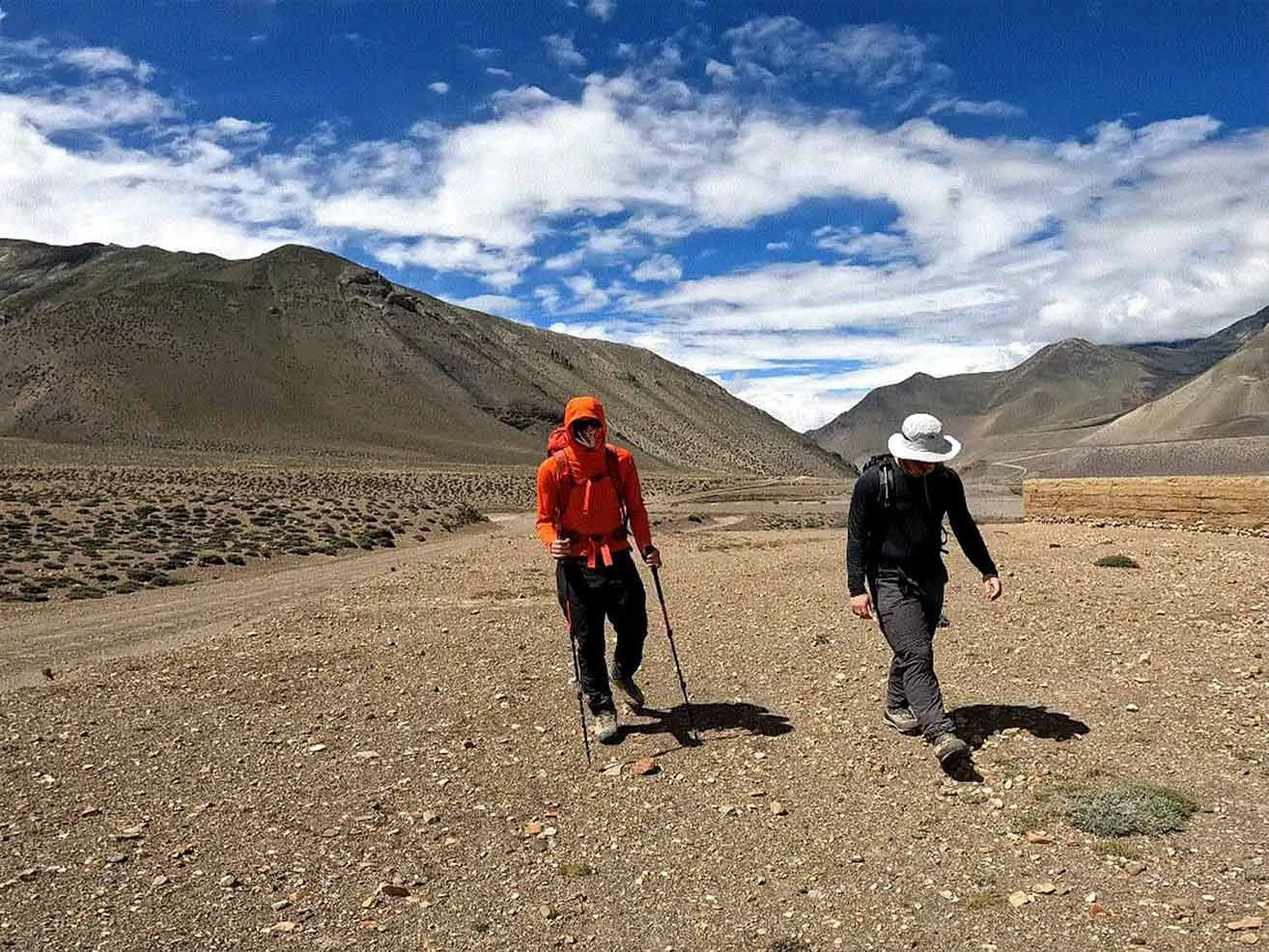
  • Desolation: The trail crosses north of Kagbeni into the vast, wind-swept gravel plains of the Kali Gandaki, bringing a sharp feeling of desolation and quietness.
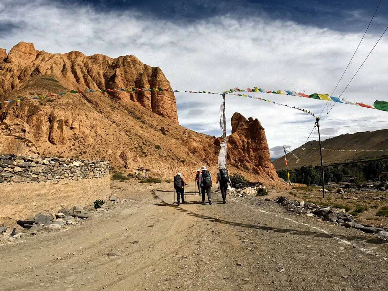
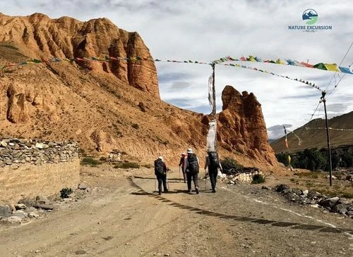
  • Awe: As you approach the massive, red cliffs of Dhakmar and the long Mani walls of Ghami, your mind is struck by deep awe.
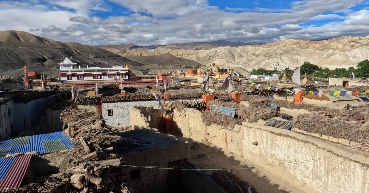
  • Focus: Arriving at the medieval walled capital of Lo Manthang and seeing century-old mud-brick structures shifts your mind into a state of quiet focus. 
  • Fulfillment: As you ride or walk back down through the deep gorge to Jomsom and Pokhara, you feel a sense of completeness and fulfillment, and are thankful for that incredible adventure.

Emotions You May Feel

  • Brave
  • Protected
  • Wise
  • Greatful

How Your Mind Changes

  • Start: You feel the immediate shock of leaving standard green mountain trails for a barren, desert world.
  • Middle: You become fascinated by the living ancient history, cave dwellings, and unique polyandrous cultural roots.
  • Near the High Points (Lo Manthang): You feel calm, alert, and deeply connected to the stillness of the high plateau.
  • At the furthest points: You feel an immense sense of pride for navigating one of the most protected corners of the globe.
  • Coming back: You feel mentally resilient and unbothered by small everyday inconveniences.
  • Confidence Level: This trek provides a strong boost to your mental confidence

Connection & Solitude Ratio

  • Connection Level: 45% (Pokhara, Jomsom, and Kagbeni)
  • Solitude Level: 65% (Mustang, Lo-Manthang)

Why You'll Love This Trip

  • Trek in a trans-Himalayan region, also known as the rain shadow area.
  • Scenic flight to/from Pokhara to Jomsom with excellent aerial views of the mountains.
  • Trek through beautiful villages, observing the daily lifestyle of the locals.
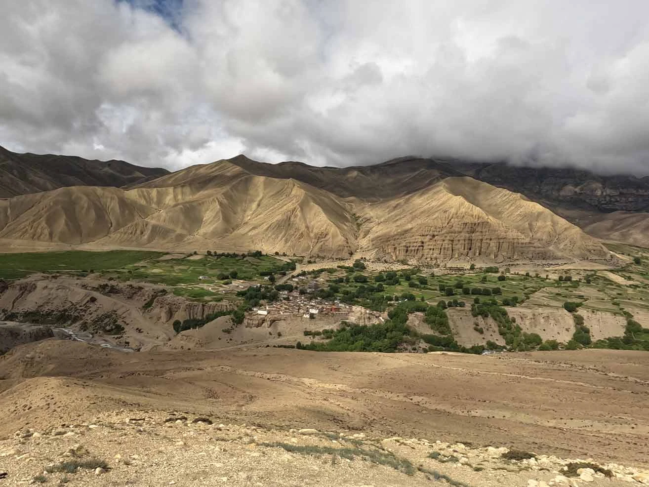
  • Witness arid landscape, huge rock formations, and towering mountains along the trail.
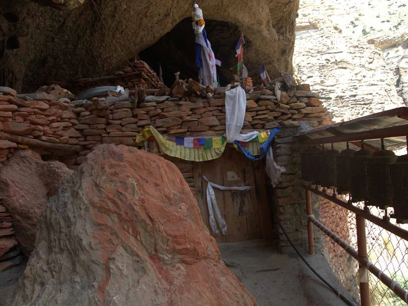
  • Visit hundreds of centuries-old monasteries and sky caves.
  • Trek through gorges and canyons; enjoy the offbeat trek.
  • Visit the undiscovered and uncrowded trekking region close to the Tibetan border.
  • Come across the yak caravan and explore the old trade route.
  • Cross-high mountain pass, thrilling suspension bridges, and sand fields.
  • Explore Lo Manthang, the last forbidden kingdom.

Upper Mustang Trek Overview

"On the Annapurna Circuit, every turn of the trail rewrites your idea of what a horizon can be."

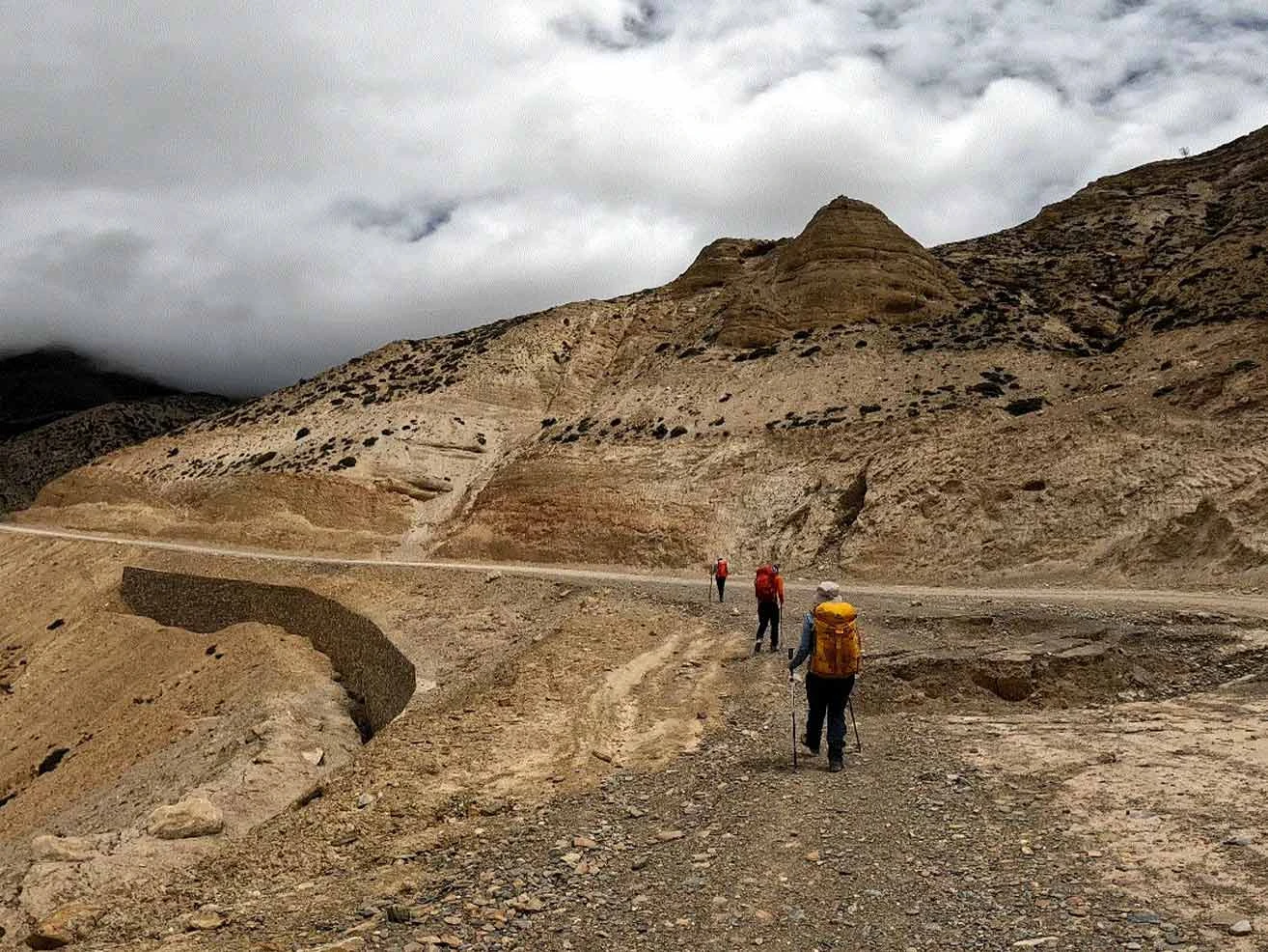
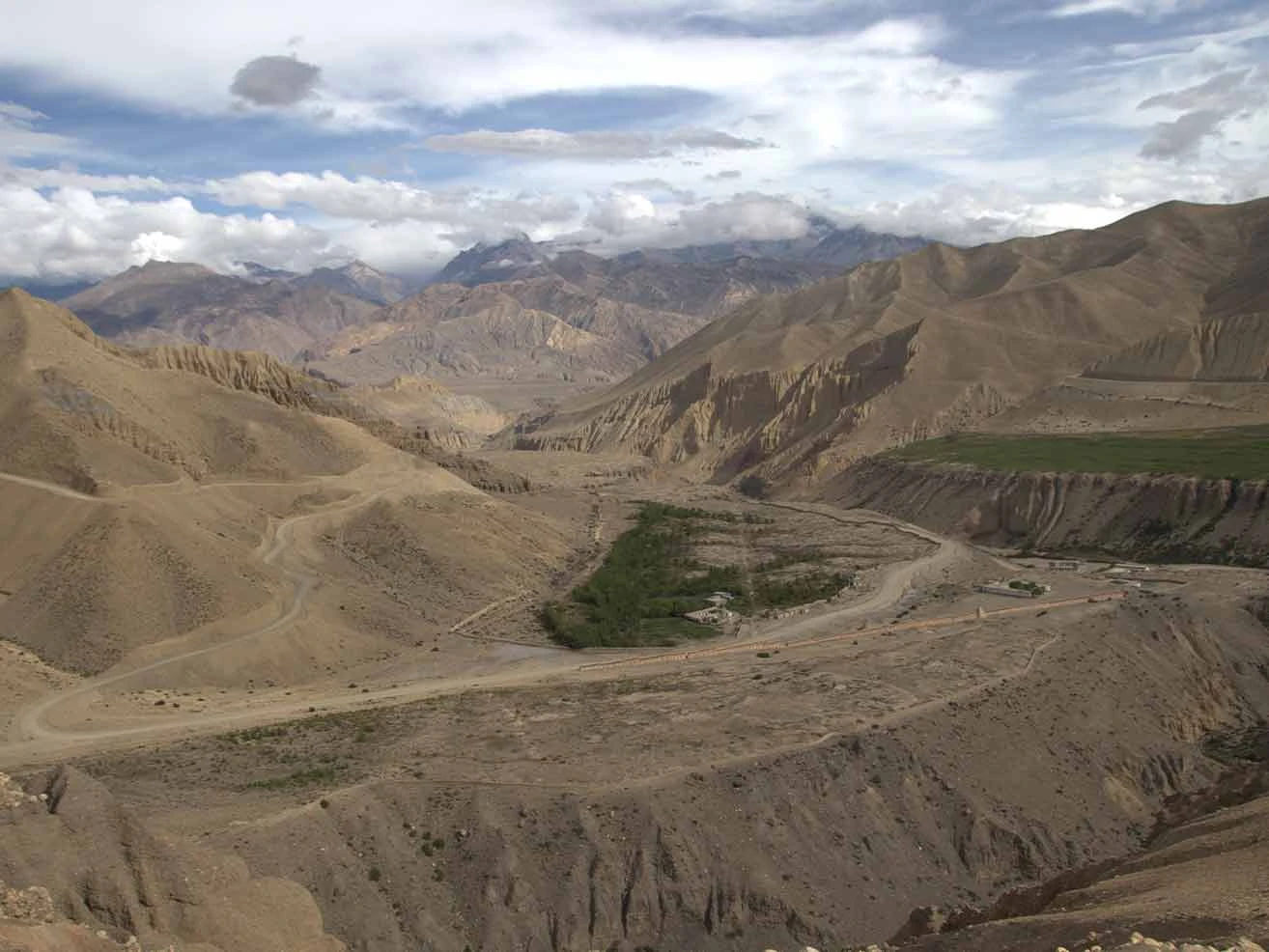
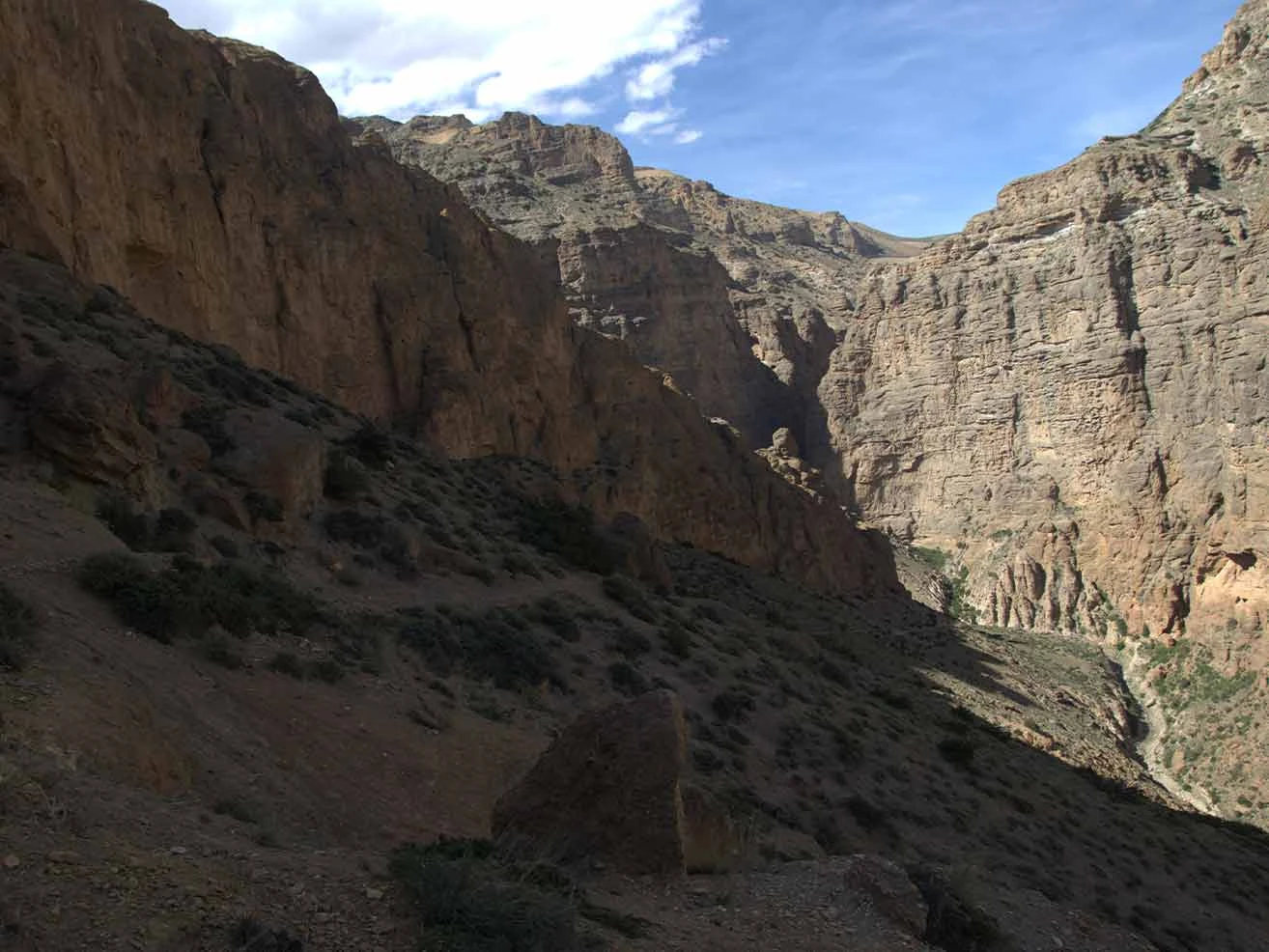
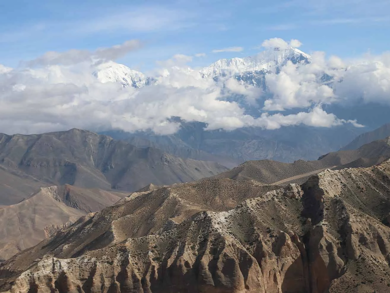
The Upper Mustang Trek takes you into a stark, high-altitude desert that mirrors the Tibetan Plateau. This territory is located in the rain shadow of the Annapurna and Dhaulagiri massifs, which shield it from the summer monsoon. You will walk through a landscape defined by deeply eroded red cliffs, deep gorges, and ancient cave complexes carved into vertical rock faces. The region remained entirely closed to foreigners until 1992, and the government still limits entry using strict permit regulations. This isolation preserves a raw environment where high-altitude winds sweep across wide, barren valleys.

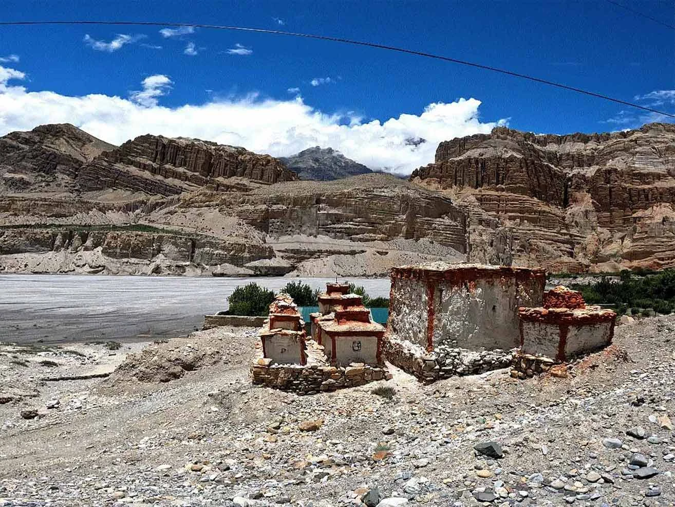
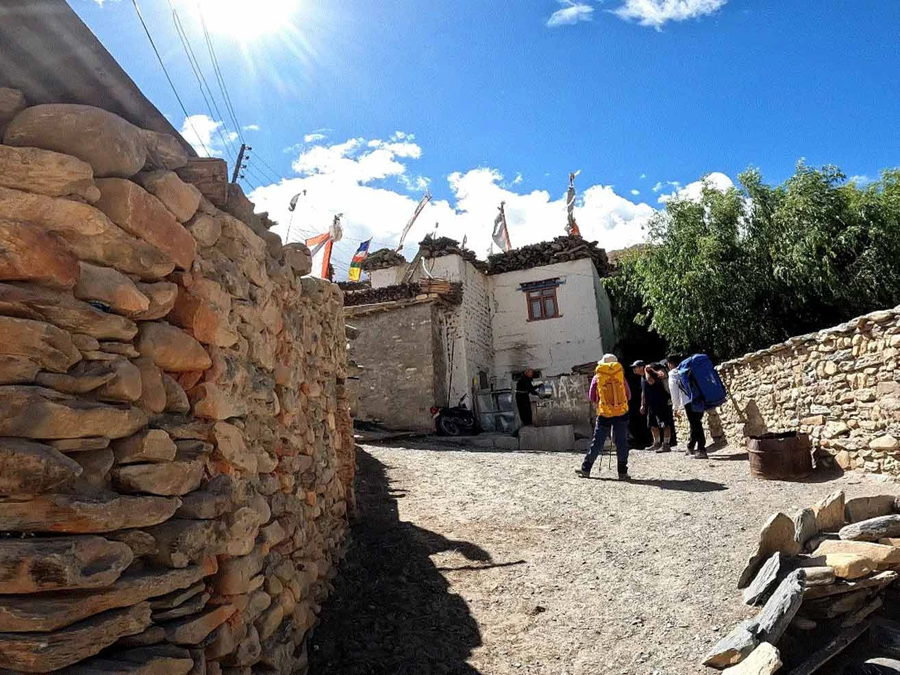
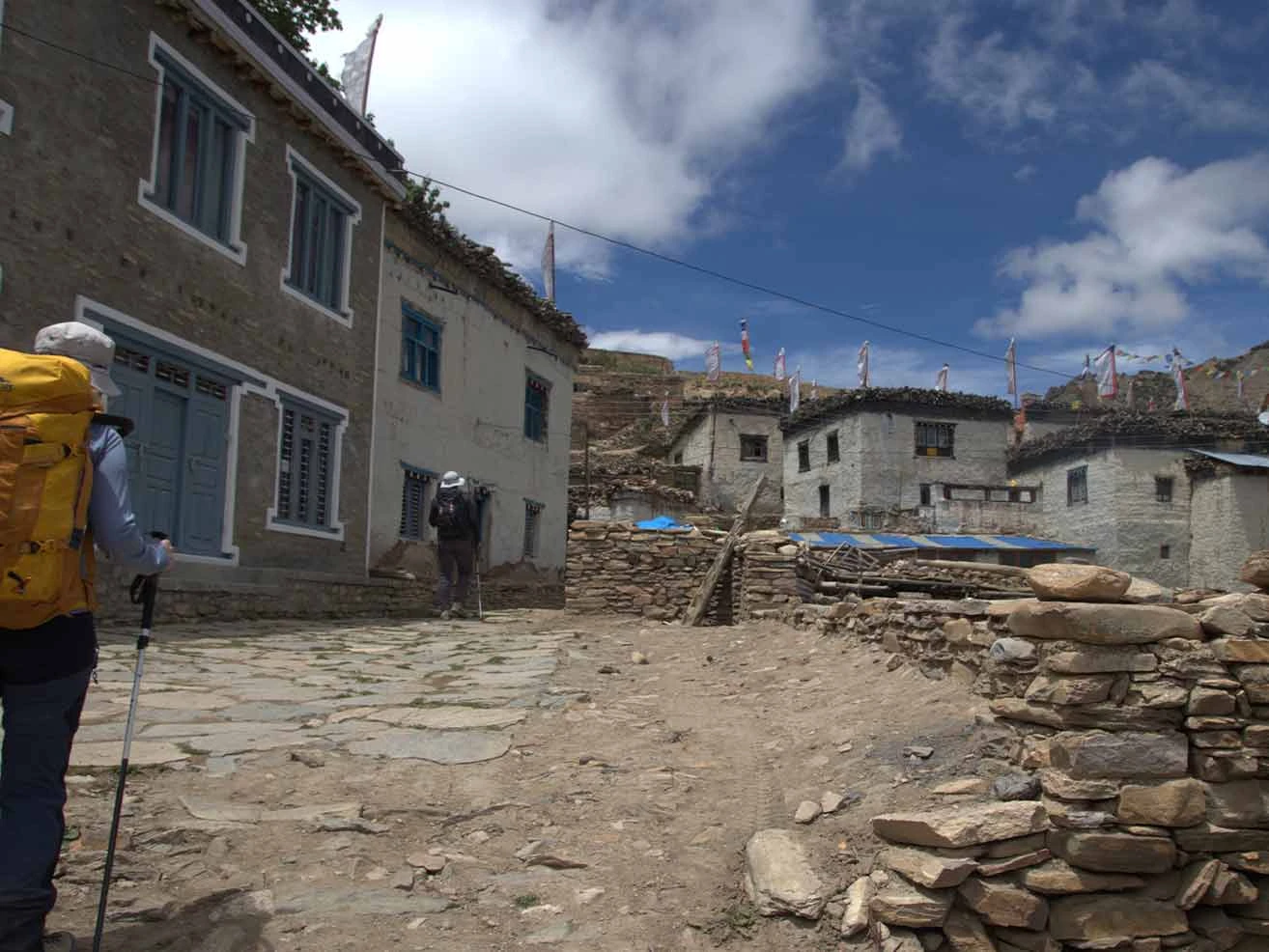
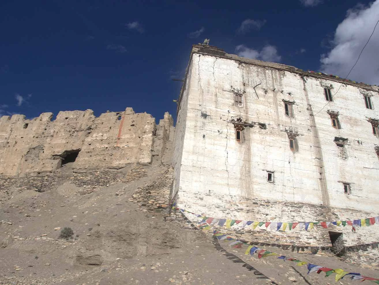
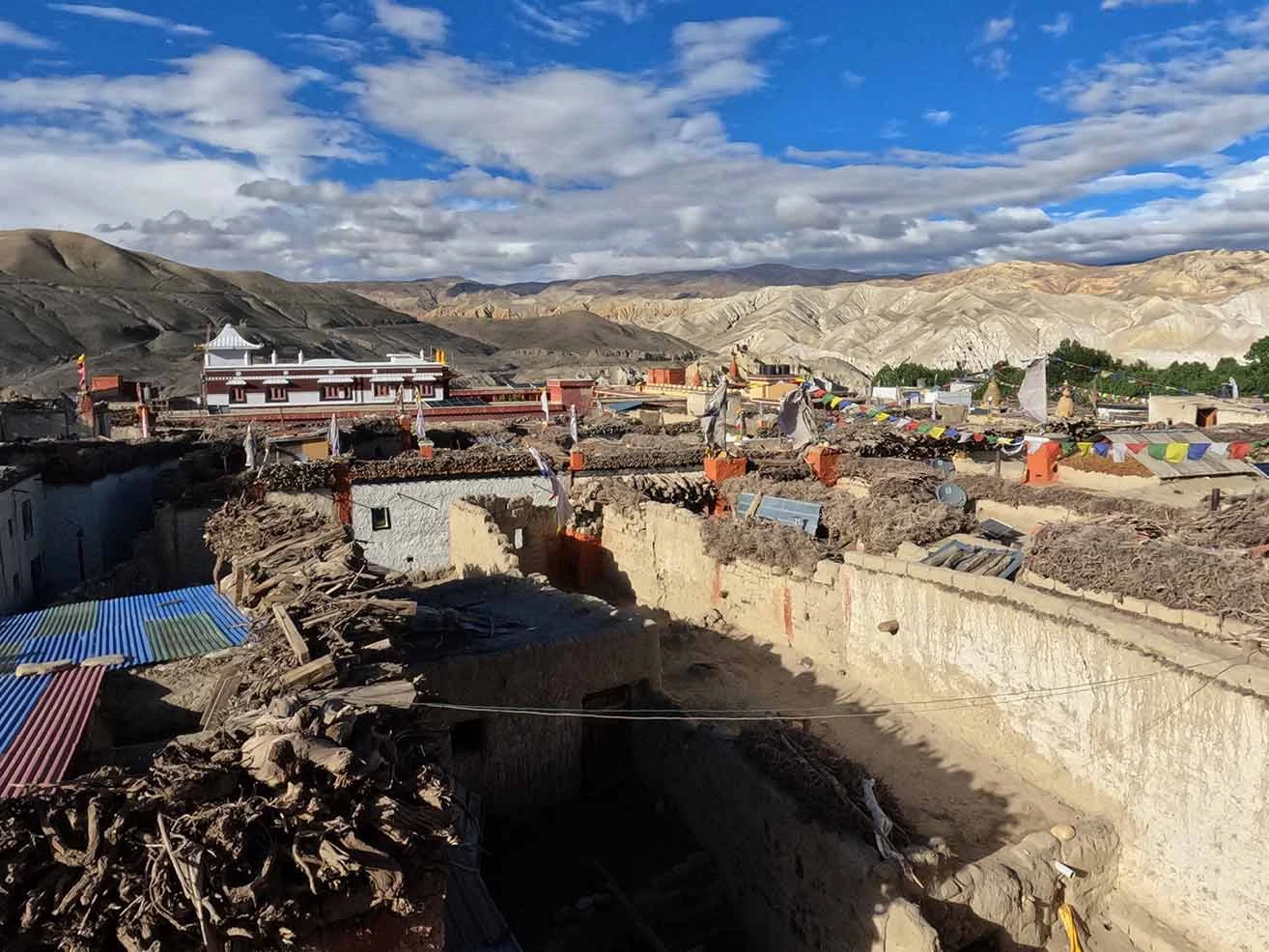
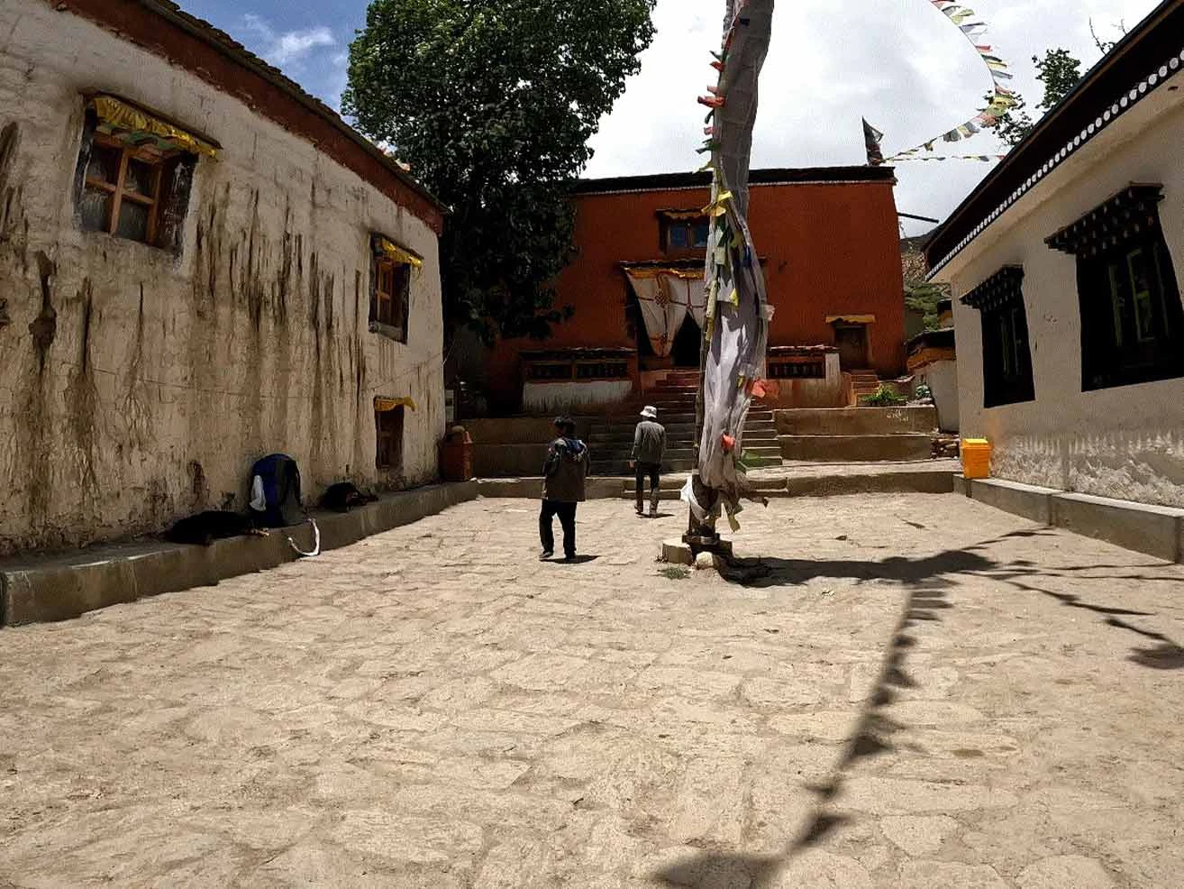
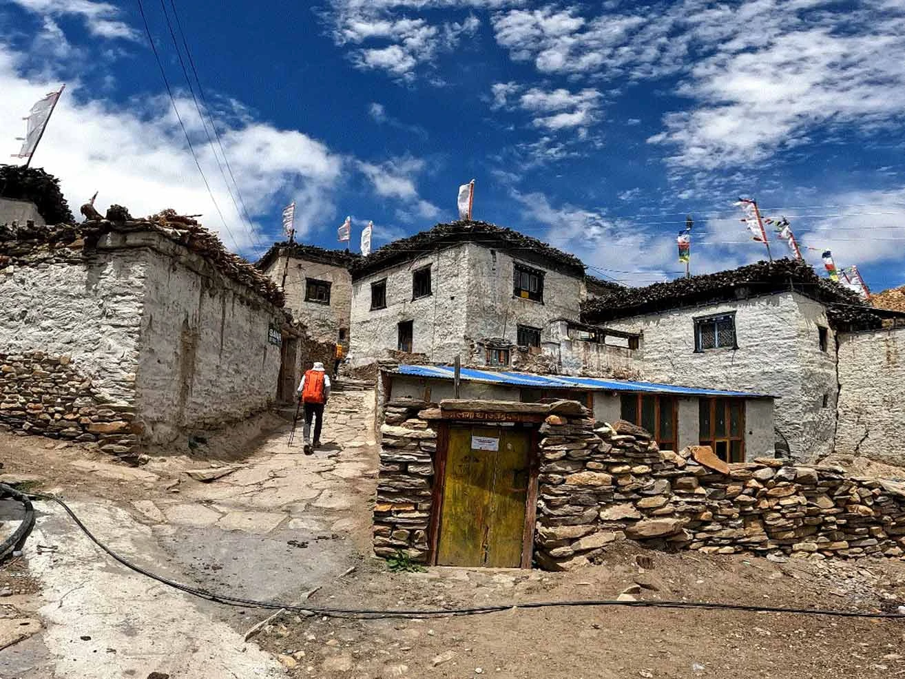
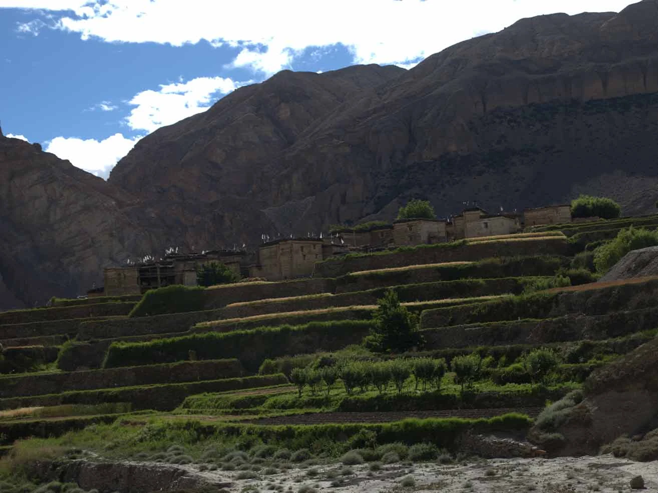
Cultural preservation remains absolute across the former Kingdom of Lo. Local communities share direct ancestral, linguistic, and spiritual ties with Tibet, which manifests in daily life and architecture. You will encounter stone villages with whitewashed houses, extensive mani walls, and clay chortens painted in traditional red, grey, and white hues. The spiritual hub of the region sits within the walled capital of Lo Manthang at 3,840 m. Inside these protective walls, century-old Buddhist monasteries like Jampa Lhakhang preserve invaluable murals, ancient scripts, and living monastic traditions.

Safety and legal compliance require careful preparation before you start your journey. The Department of Immigration classifies Upper Mustang as a restricted area, which dictates specific logistics. You must secure a Regulatory Restricted Area Permit, but solo trekkers are legally permitted to enter this zone provided they hire a licensed guide. You do not need a second traveler, but navigating without a certified guide is strictly illegal. The Upper Mustang trek is quite challenging due to the constant altitude changes, which require steady pacing to prevent acute mountain sickness, especially when crossing passes above 4,000 m.

Flow of Journey

You begin your journey with an overland drive from Kathmandu to the lakeside city of Pokhara before catching an early morning flight to the mountain airstrip at Jomsom. The foot journey begins along the wide, winding gravel bed of the Kali Gandaki River to Kagbeni, the official gateway to the restricted Upper Mustang region. You ascend steadily through a dry, rain-shadow landscape, characterized by dramatic red cliffs, ancient cave dwellings, and traditional whitewashed villages such as Chuksang, Samar, and Ghilling. But you must pace your breathing and energy carefully, as the trail crosses multiple high mountain passes, including Taklam La and Nyi La at 4,010 m. Meanwhile, the route leads you past the longest ancient mani prayer wall in the region before you enter the historic, walled capital city of Lo-Manthang for a crucial rest-and-acclimatization day.

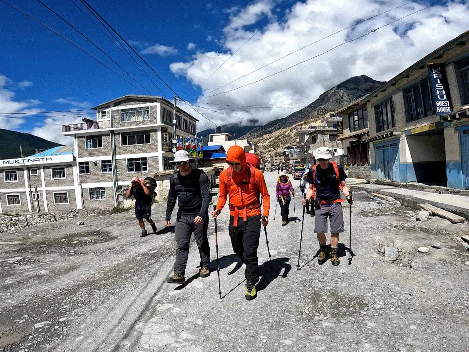
Our return route follows the rugged western loop, offering a completely different perspective on this Tibetan-influenced wilderness. You climb over the highest point of the entire trek at Chogo La pass at 4,230 m to visit the historic eighth-century Ghar Gompa monastery. The trail then drops through the vibrant red clay cliffs of Dhakmar and retraces southward through Syanbochen and Chuksang before turning east for a demanding climb over the Gyu La pass at 4,077 m. This path connects your route to the sacred pilgrimage hub of Muktinath, where you can see the holy water spouts and eternal natural gas flames. Finally, you hike back down the windy valley floor to Jomsom for your return flight to Pokhara, followed by a final overland drive back to Kathmandu along the Prithvi Highway.

Itinerary

Day1
  • Meals:Dinner
  • Accommodation:Hotel
  • Drive Distance:200 km
  • Drive Duration:6-7 hours
  • Sleep Elevation:830 m
  • Overnight Place:Pokhara
  • Day's Difficulty:Easy

We start our overland journey at 6:00 AM to avoid heavy traffic delays at the city exit. Our tourist bus follows the winding Prithvi Highway down into the Trishuli River valley. You see terraced farms, roadside markets, and small rural towns during the long drive. But you must prepare for a bumpy ride, as the main highway is undergoing extensive road widening in 2026.

We stop for a local lunch at a highway restaurant next to the river. Meanwhile, the route continues past the confluence of the Marshyangdi and Trishuli rivers before entering the wide Pokhara valley. We arrive in Pokhara in the late afternoon. You can rest in your room or walk around the shores of Phewa Lake before our mandatory pre-trek briefing.

Note: Private vehicle to Pokhara can also be arranged upon request at an additional cost.

Included activities:

  • Drive along the Prithvi Highway next to the Trishuli River.
  • Stop for a local lunch at a highway restaurant.
  • Arrive in the lakeside city of Pokhara.
  • Attend a pre-trek briefing with your licensed guide.
Day2
  • Meals:Breakfast, Lunch, Dinner
  • Accommodation:Teahouse
  • Trek Distance:10 km
  • Trek Duration:3 hours
  • Flight Duration:20 minutes
  • Sleep Elevation:2,800 m
  • Overnight Place:Kagbeni
  • Day's Difficulty:Easy

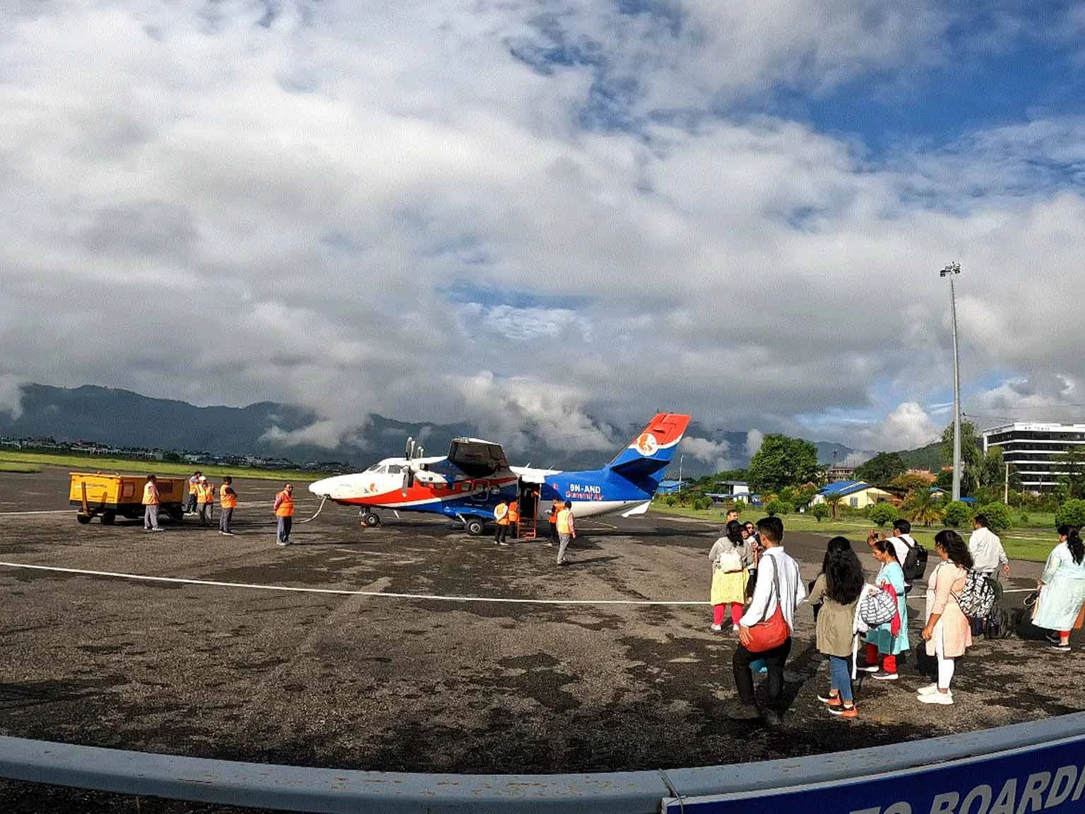
We catch an early morning flight to Jomsom to avoid the fierce mountain winds that disrupt air traffic later in the day. The twin-otter aircraft glides through the deep Kali Gandaki gorge between the massive Annapurna and Dhaulagiri massifs. You land at the high-altitude airstrip in Jomsom, where the dry, crisp mountain air immediately hits your face. But you must prepare your windproof gear right at the airport because the valley breeze picks up quickly.

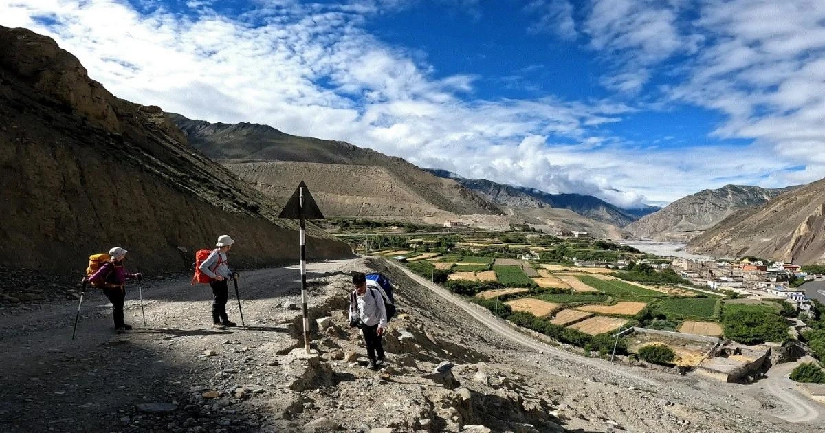
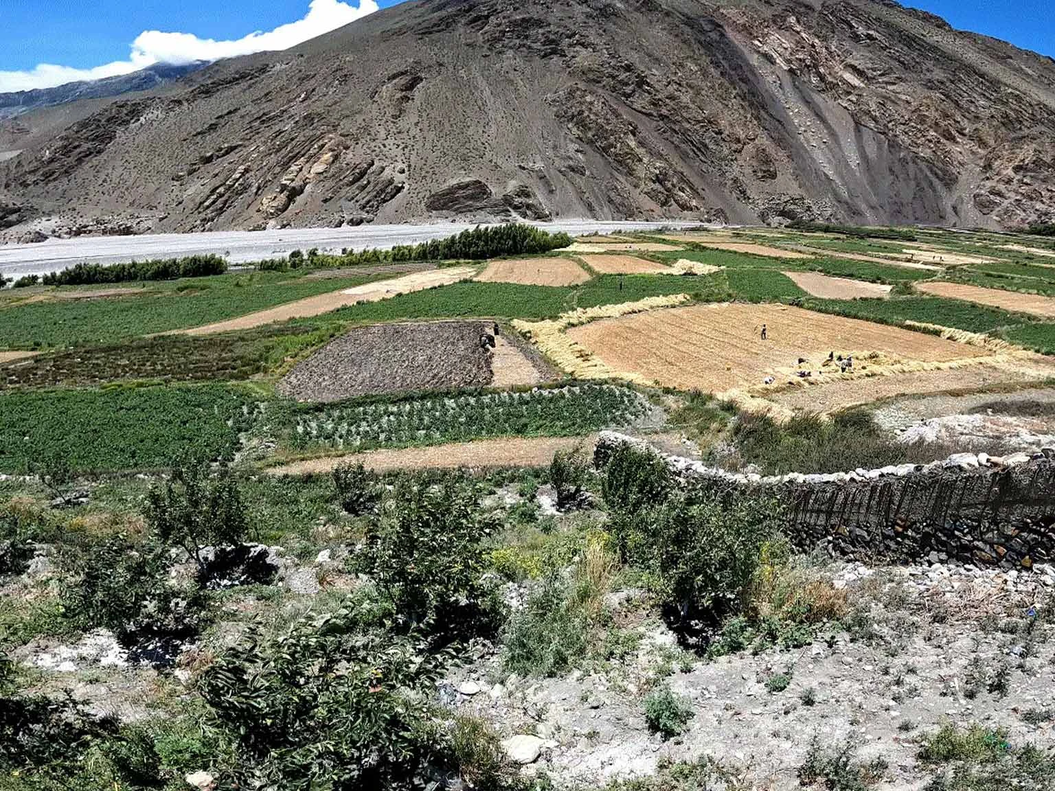
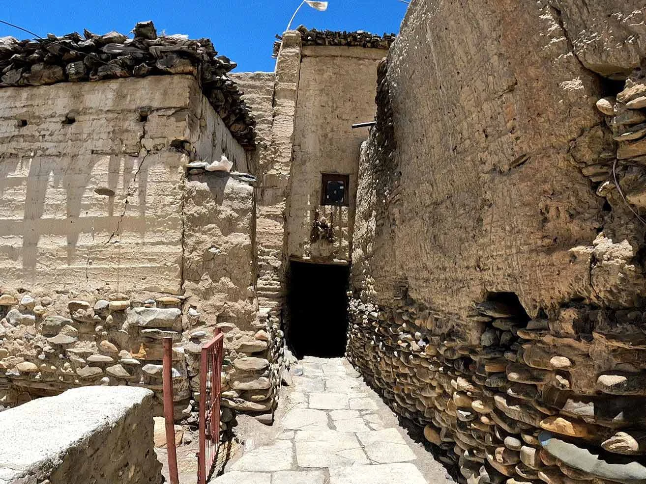
We begin our foot journey along the wide, flat gravel bed of the Kali Gandaki River. The trail requires navigating loose rocks and sandy paths rather than steep climbs. Meanwhile, the route passes the small settlement of Eklebhatti before reaching the ancient fortress village of Kagbeni. We check into our teahouse and complete the checkpoint formalities for the restricted Upper Mustang region. You can spend your afternoon exploring the narrow alleyways and century-old clay buildings of this Tibetan-influenced hub. If time permits, you can also visit the monastery.

Included activities:

  • Fly from Pokhara to the mountain airport at Jomsom.
  • Trek along the rocky Kali Gandaki riverbed.
  • Pass through the small settlement of Eklebhatti.
  • Register trekking permits at the Kagbeni restricted area checkpoint.
Jomsom
Kagbeni Farmland
Taking a Jomsom Flight
Tibetan Buddhist monastery
Day3
  • Meals:Breakfast, Lunch, Dinner
  • Accommodation:Teahouse
  • Trek Distance:14 km
  • Trek Duration:5 hours
  • Sleep Elevation:2,980 m
  • Overnight Place:Chuksang
  • Day's Difficulty:Moderate

We enter the restricted Upper Mustang region directly after checking our permits at the northern exit of Kagbeni. The trail climbs up the eastern bank of the Kali Gandaki River through a dry, barren landscape. You cross high ridges and descend into sandy gullies where the strong wind blows dust across the path. But the unique scenery keeps you focused as you see red, orange, and silver cliffs rising across the river valley.

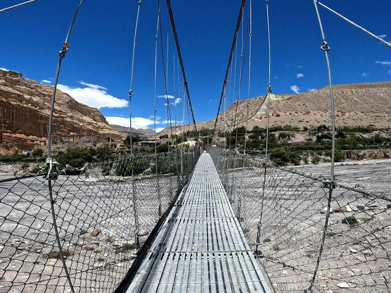
We stop for lunch in the small village of Tangbe to rest and rehydrate. Meanwhile, the route passes whitewashed houses, apple orchards, and narrow alleyways that reflect traditional Mustang architecture. We cross the river and walk along the valley floor until we reach the village of Chuksang. We check into our local teahouse for the evening. You can walk around the village to see the nearby cave dwellings and the massive, broken blocks of red cliffs.

Included activities:

  • Cross the Kagbeni checkpoint to enter the restricted zone.
  • Hike through the desert landscape of the upper Kali Gandaki valley.
  • Explore the traditional alleyways and apple orchards of Tangbe village.
  • See the high red clay cliffs and cave dwellings near Chuksang.
Chhuksang Bridge
chhukung
Kagbeni to Chhukung
Sky Caves of Mustang
Day4
  • Meals:Breakfast, Lunch, Dinner
  • Accommodation:Teahouse
  • Trek Distance:9 km
  • Trek Duration:4 hours
  • Sleep Elevation:3,150 m
  • Overnight Place:Samar
  • Day's Difficulty:Moderate

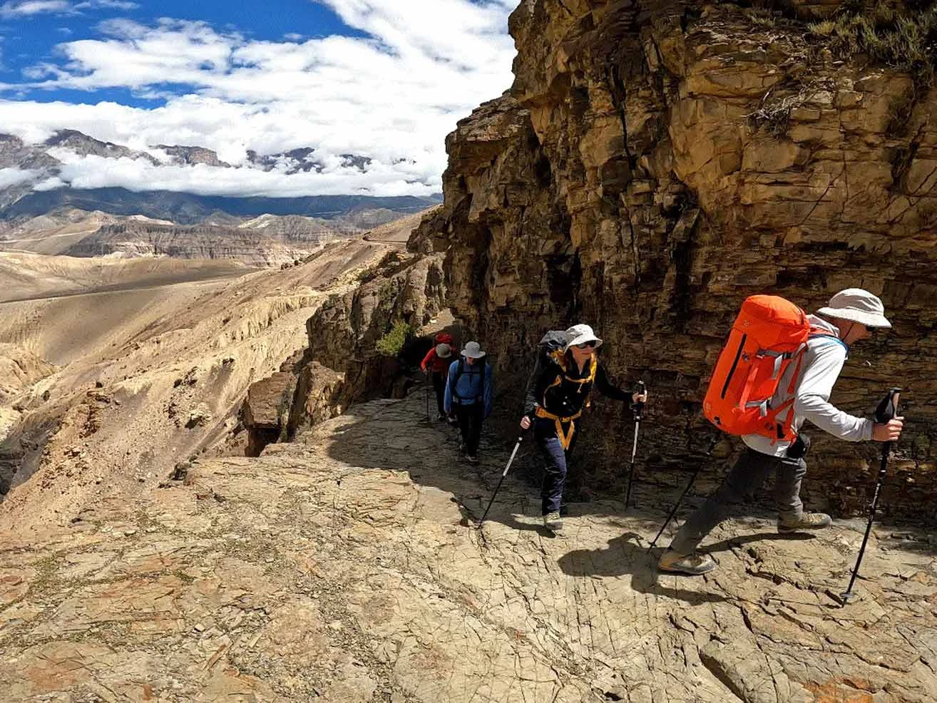
We trace the edge of the riverbed before facing a steep climb out of the river valley. The trail leads us through a unique tunnel formed by a giant fallen conglomerate rock over the Kali Gandaki River. You must watch your footing on the loose scree as we ascend the rocky trail toward Chele village. But the dramatic shift in local culture and the sight of traditional Tibetan mud houses keep your spirits high.

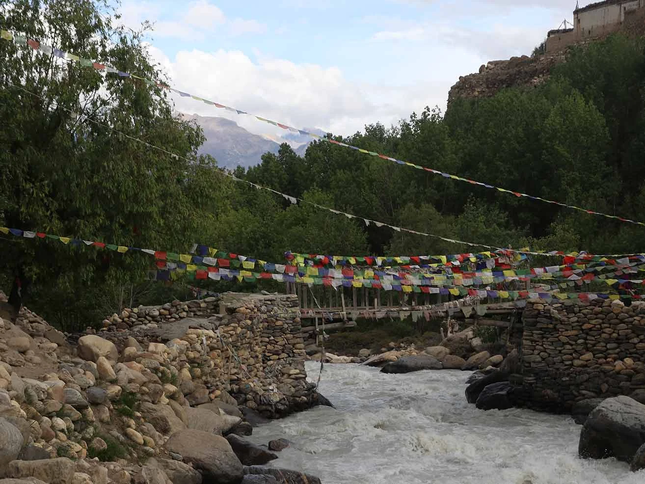
We cross a high suspension bridge suspended over a deep canyon after leaving Chele. Meanwhile, the route continues its steady upward grind over the Taklam La pass at 3,624 m. We descend gradually from the ridge through dry landscapes into a cooler zone filled with green poplar trees. We check into our teahouse in Samar village to rest for the night. You can enjoy the peaceful village atmosphere and watch mule caravans still using this ancient salt-trading route.

Included activities:

  • Walk through the natural rock tunnel over the Kali Gandaki River.
  • Climb the steep rocky terrain up to the cliffside village of Chele.
  • Cross the high mountain pass of Taklam La.
  • Rest in the oasis village of Samar, surrounded by poplar groves.
Before Samar
Samar Village
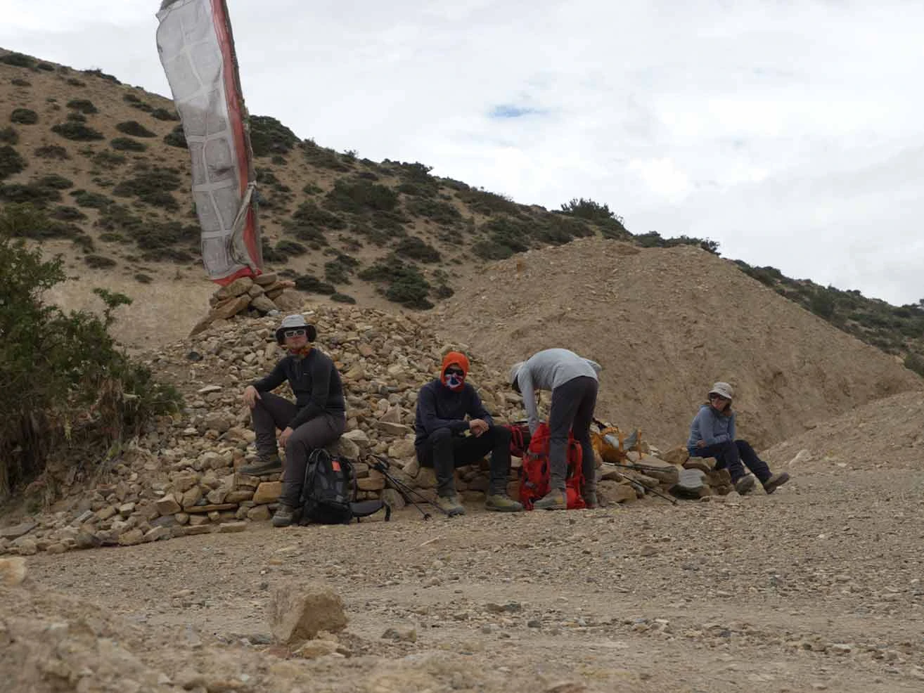
trekkers taking rest
Day5
  • Meals:Breakfast, Lunch, Dinner
  • Accommodation:Teahouse
  • Trek Distance:16 km
  • Trek Duration:6 hours
  • Sleep Elevation:3,510 m
  • Overnight Place:Ghilling
  • Day's Difficulty:Hard

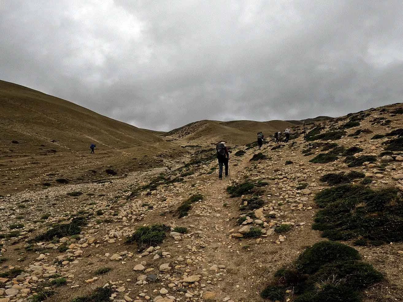
We depart Samar early to tackle a demanding day that features multiple mountain passes. The trail dips into a deep gorge before climbing steeply up to the Bhena La pass at 3,838 m. You must pace your breathing carefully as the thin air makes the steep sections physically taxing. But the stark beauty of the juniper bushes and the dry mountain ridges helps maintain your rhythm.

We cross the second pass of the day at Syangboche La, which sits at 3,850 m. Meanwhile, the route offers a sharp descent through small farming hamlets where locals grow barley and buckwheat. We follow the winding trail down into a large valley until we arrive at the village of Ghilling. We check into a local teahouse to rest your tired legs. You can visit the ancient mud-brick monasteries in the afternoon to see the traditional Tibetan Buddhist art.

Included activities:

  • Reach the high mountain passes of Bhena La and Syangboche La.
  • Hike through deep mountain gorges and dry juniper fields.
  • Pass through remote agricultural hamlets of the Mustang region.
  • Visit the historic mud-walled monasteries in Ghilling village.
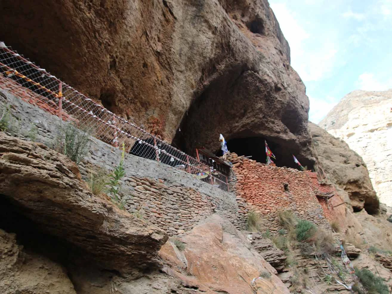
Chungsi Cave Entrance
Chungsi Cave
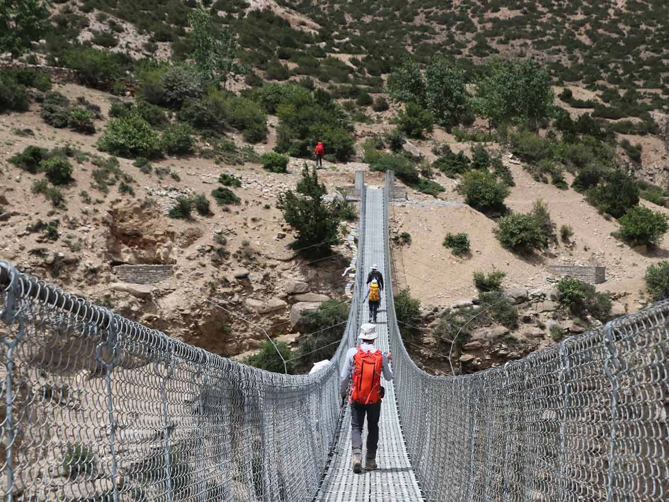
suspense bridge
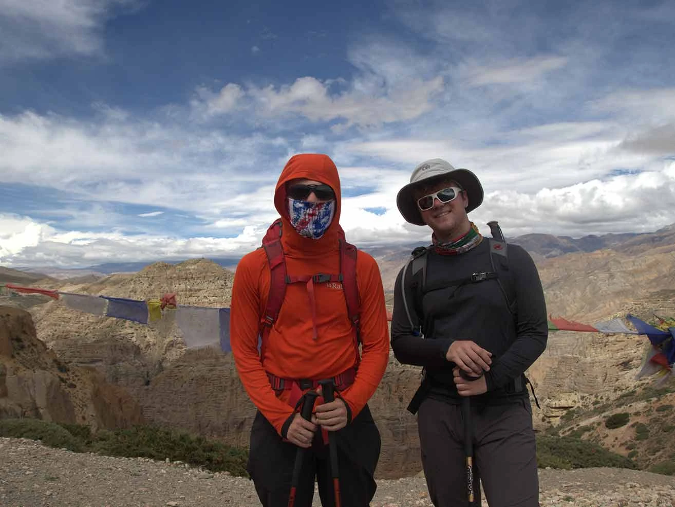
trekkers standing at a scenic high mountain pass vantage point
Day6
  • Meals:Breakfast, Lunch, Dinner
  • Accommodation:Teahouse
  • Trek Distance:12 km
  • Trek Duration:5 hours
  • Sleep Elevation:3,560 m
  • Overnight Place:Tsarang
  • Day's Difficulty:Hard

Today, our trek begins with a steady climb to the highest point we've reached so far. The trail ascends through the arid landscape up to the challenging Nyi La pass at 4,010 m. You will feel the effects of the high altitude, which requires a slow, deliberate walking pace. But reaching the top gives you a clear look at the vast, desert-like expanses of Upper Mustang and the distant borders of Tibet.

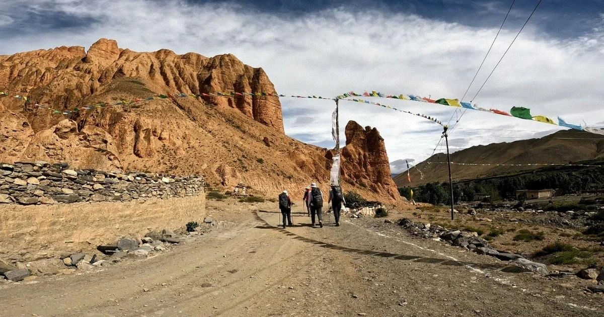
We drop down from the pass and cross another minor ridge at Ghami La before descending into Ghami village. Meanwhile, the route takes us past the longest mani wall in the Mustang region, which features hundreds of prayer stones. We cross a suspension bridge over the Ghami Khola and climb a final rocky trail to enter the historic settlement of Tsarang. We check into our teahouse and prepare for tomorrow's journey. You can visit the massive five-story Tsarang Dzong fortress and the ancient red monastery built in the fourteenth century.

Included activities:

  • Cross the high-altitude Nyi La pass at 4,010 m.
  • Walk along the longest ancient mani prayer wall in Upper Mustang.
  • Cross the suspension bridge over the rushing Ghami Khola.
  • Explore the historic five-story Tsarang Dzong and the red monastery.
Dhakmar
Ghami Village
Old Royal Palace from Upper Mustang at Tsarang
Tsarang Monastery
Day7
  • Meals:Breakfast, Lunch, Dinner
  • Accommodation:Teahouse
  • Trek Distance:11 km
  • Trek Duration:4 hours
  • Sleep Elevation:3,810 m
  • Overnight Place:Lo-Manthang
  • Day's Difficulty:Moderate

We descend from Tsarang into a deep canyon to cross the local river before our final push to the capital. The trail ascends steadily on a broad, dusty track, exposing you to relentless wind and high-altitude sun. You must drink water constantly to combat dehydration and reduce the risk of altitude sickness at this elevation. But the gradual incline allows you to maintain a steady pace without overexerting your body.

We reach the top of the Lo La pass at 3,950 m after a few hours of consistent walking. Meanwhile, the route offers your first look at the walled city of Lo-Manthang, sitting in the broad valley below. We walk down the gentle dirt path from the pass and enter the historic, gated capital through the main northern entrance. We check into our teahouse, where we will spend the next two nights. You can rest your muscles and acclimate to the high altitude before we begin exploring the ancient city tomorrow.

Included activities:

  • Descend into the Tsarang canyon and cross the river.
  • Hike up the steady, desert trail to the Lo La pass.
  • View the ancient walled capital of Lo-Manthang from the mountain pass.
  • Enter the gateway to Upper Mustang in Lo-Manthang.
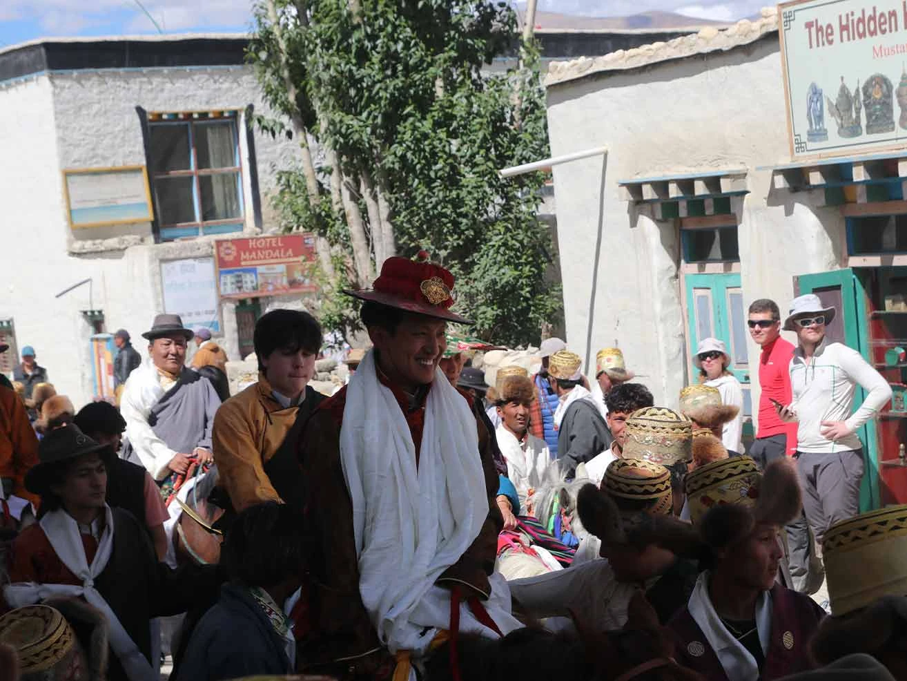
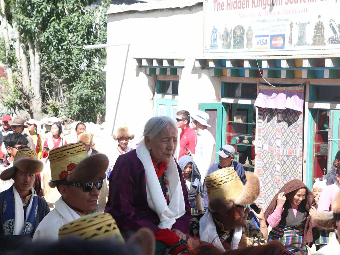
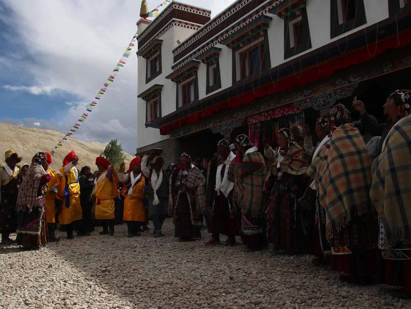
wedding ceromony at Lomanthang
Lo Manthang Village
Prince of Upper Mustang
queen of Upper Mustang
Day8
  • Meals:Breakfast, Lunch, Dinner
  • Accommodation:Teahouse
  • Sleep Elevation:3,810 m
  • Overnight Place:Lo-Manthang
  • Day's Difficulty:Challenging

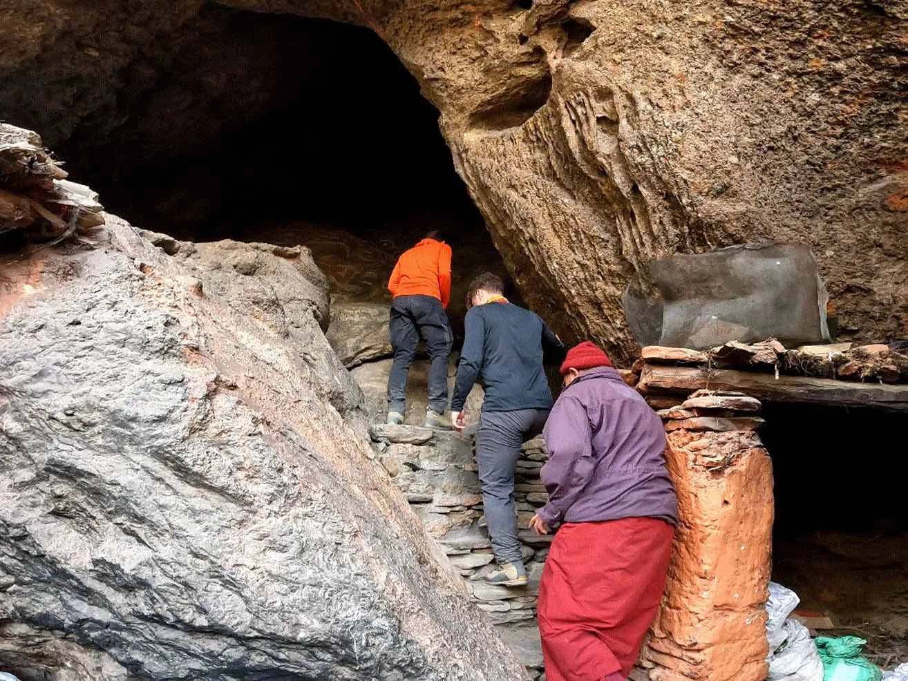
We spend our acclimatization day exploring the rich cultural treasures around the walled capital to help your body adapt to the high altitude. We travel north toward the Tibet border to visit the multi-story Jhong Cave system in the Choser valley. You can hire a local horse for this excursion, but please note that this specific horse rental is a self-payable cost. But the effort is worthwhile as you climb the internal wooden ladders to see the ancient living quarters, storage rooms, and meditation cells carved into the solid cliff face.

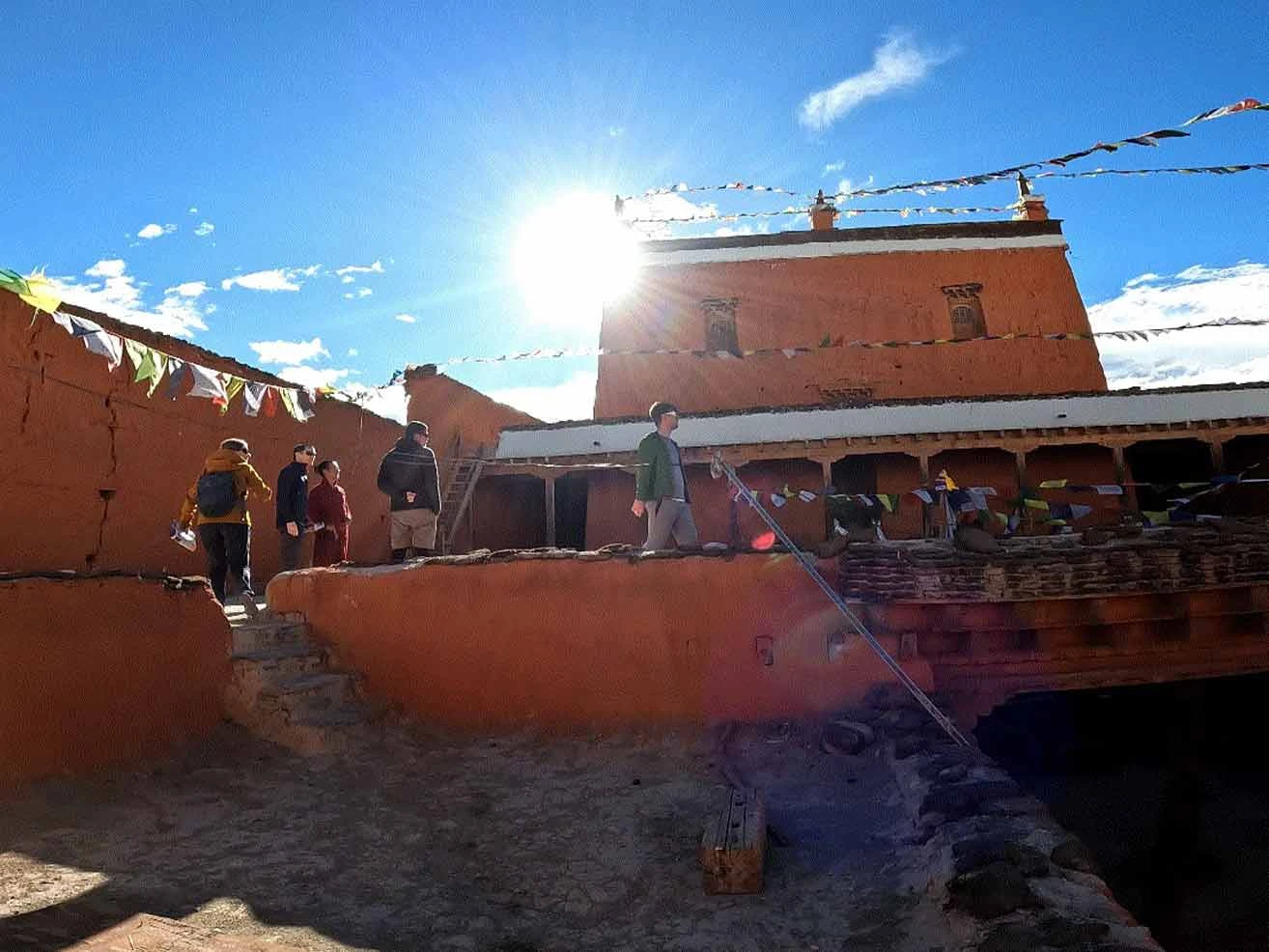
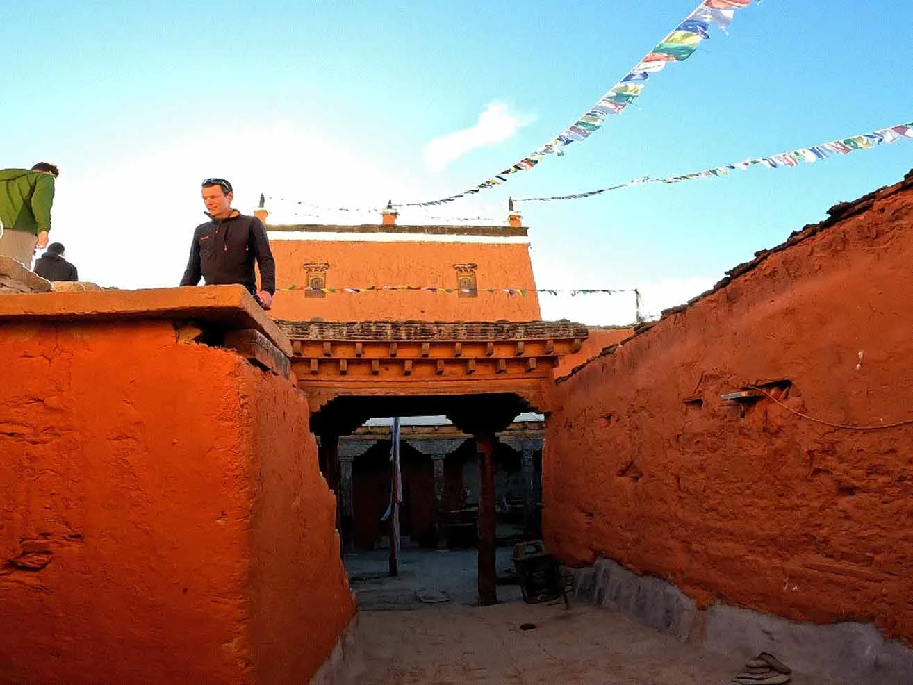
We return from Choser to visit the important Namgyal Monastery located on a hilltop just outside the main town. Meanwhile, this monastic school serves as a local court and a spiritual hub for the regional community. We walk back inside the massive white city walls of Lo-Manthang to explore the historic square during the late afternoon. You can visit the fifteenth-century Thubchen and Jampa monasteries to see the massive clay statues and restored Buddhist frescoes.

Included activities:

  • Explore the multi-story Jhong Cave complex in the Choser valley.
  • Optional horse ride to the cave site.
  • Visit the hilltop Namgyal Monastery, the area's main religious center.
  • Walk through the historic alleyways and ancient monasteries inside Lo-Manthang.
festival celebration at lo manthang
House design of Upper Mustang
Jampa Monaster
Monaster
Day9
  • Meals:Breakfast, Lunch, Dinner
  • Accommodation:Teahouse
  • Trek Distance:16 km
  • Trek Duration:6 hours
  • Sleep Elevation:3,820 m
  • Overnight Place:Dhakmar
  • Day's Difficulty:Hard

We depart the walled city and choose the western return route to experience a different side of the region. The trail gains elevation steadily as we march toward the high-altitude Chogo La pass, also known as Marang La at 4,230 m. You must monitor your body for any signs of fatigue or headache, as this pass marks the highest point on our entire trekking route. But pacing yourself lets you handle the thin air safely and reach the ancient Ghar Gompa on the other side.

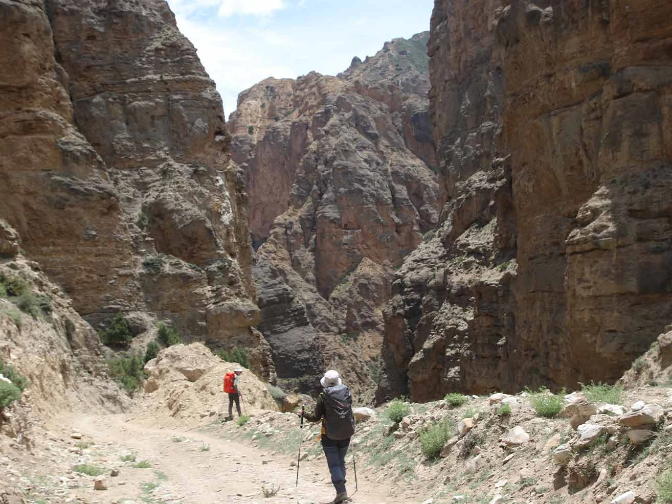
We stop to explore Ghar Gompa, one of the oldest active Tibetan Buddhist monasteries in the world. Meanwhile, the route crosses a wind-swept plateau before dropping steeply into a canyon filled with dramatic geological formations. We walk past huge red cliffs that, according to local religious myths, look like they are stained with blood. We check into our teahouse in Dhakmar village late in the afternoon to rest and enjoy a hot meal.

Included activities:

  • Hike the western loop trail out of the Lo-Manthang valley.
  • Climb over the highest point of the trek at Chogo La pass.
  • Visit the historic eighth-century Ghar Gompa monastery.
  • Descend through the famous red clay cliffs into Dhakmar village
Day from Lo Manthang to Dhakmar
Dhakmar
Nar Gompa
way to dhamkar
Day10
  • Meals:Breakfast, Lunch, Dinner
  • Accommodation:Teahouse
  • Trek Distance:14 km
  • Trek Duration:5 hours
  • Sleep Elevation:3,800 m
  • Overnight Place:Syanbochen
  • Day's Difficulty:Moderate

We start our trek by walking past the long rows of ancient chortens that line the exit of Dhakmar village. The path leads us across a high, dry plateau where the morning mountain wind is cold and sharp. You must wear your windproof layers to protect yourself from the dropping temperatures on these open ridges. But the steady terrain makes it easy to maintain a consistent walking pace without overworking your legs.

We descend into the Ghami valley and retrace our steps toward the high passes we crossed earlier in the trip. Meanwhile, the route climbs back up toward the Jaite village track before heading south over the high ridges. We complete the final short stretch of the day to reach our overnight stop at the small settlement of Syanbochen. We check into our teahouse to rest for the evening. You can sit by the dining room stove to warm up and chat with the local family about their high-altitude lifestyle.

Included activities:

  • Walk past the ancient stone chortens of Dhakmar village.
  • Trek across the wide, wind-swept high plateaus of Upper Mustang.
  • Hike through the small mountain settlement of Jaite.
  • Return to the high settlement of Syanbochen for the night.
Charang Village
Ghemi Village
Ghyakar Khola Gorge
Samar Village
Day11
  • Meals:Breakfast, Lunch, Dinner
  • Accommodation:Teahouse
  • Trek Distance:15 km
  • Trek Duration:6 hours
  • Sleep Elevation:2,980 m
  • Overnight Place:Chuksang
  • Day's Difficulty:Hard

We begin our long southward descent by climbing back over the Syangboche La pass. The trail plunges into a deep valley, descending steep, rocky terrain toward the village of Samar. You must use your trekking poles carefully on this downhill stretch to protect your knees from the heavy impact. But the rapid loss of elevation brings a noticeable increase in temperature and thicker air, which makes breathing much easier.

We take a lunch break in Samar before continuing our trek down toward the Kali Gandaki canyon. Meanwhile, the route retraces our steps through the steep cliffs of Chele village and across the suspension bridges we crossed on Day 4. We walk along the dry, dusty riverbed for the final hour until the whitewashed houses of Chuksang come into view. We check into our teahouse to unpack and relax. You can spend the evening exploring the local salt-ore caves that sit high up in the red cliffs surrounding the village.

Included activities:

  • Hike back over the Syangboche La pass.
  • Descend the steep, rocky slopes through Samar and Chele villages.
  • Retrace the path along the floor of the Kali Gandaki River canyon.
  • Arrive in the lower-altitude village of Chuksang for your overnight stay.
Chungsi Cave Gorge
Nilgiri Himal range
Ranchung Chungsi Cave
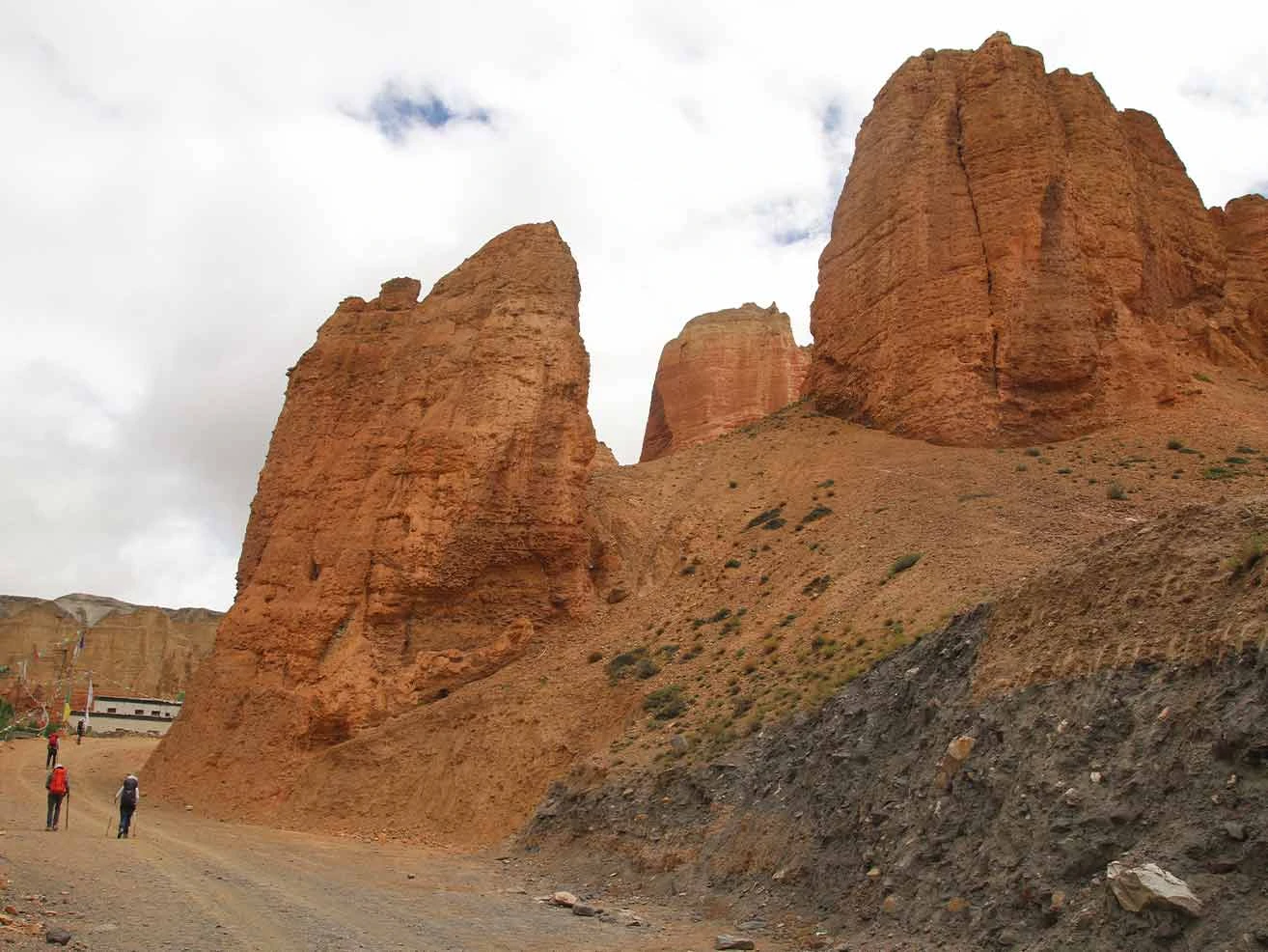
sculpted rock walls of a canyon in Upper Mustang
Day12
  • Meals:Breakfast, Lunch, Dinner
  • Accommodation:Teahouse
  • Trek Distance:18 km
  • Trek Duration:7 hours
  • Sleep Elevation:3,760 m
  • Overnight Place:Muktinath
  • Day's Difficulty:Hard

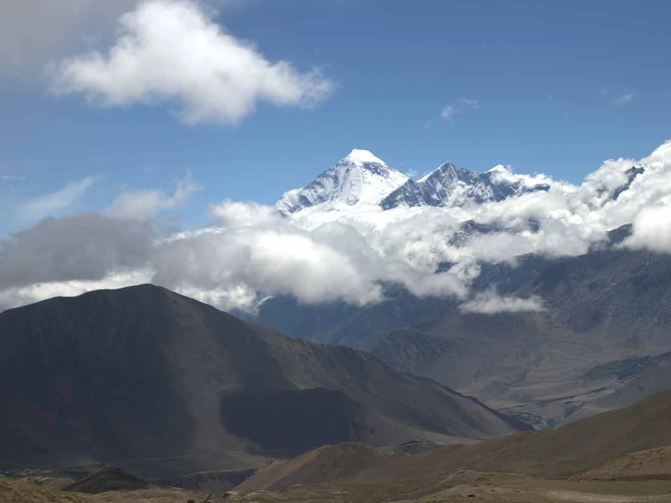
We leave the Upper Mustang riverbed and turn east for a long, demanding climb out of the valley. The trail leads us up a steep, dusty path toward the high-altitude Gyu La Pass at 4,077 m. You must pace your steps carefully on this steady uphill grind, as the elevation gain is significant. But the effort rewards you with an open view of the massive Thorong peak and the Nilgiri and Dhaulagiri mountain range as you clear the ridge.

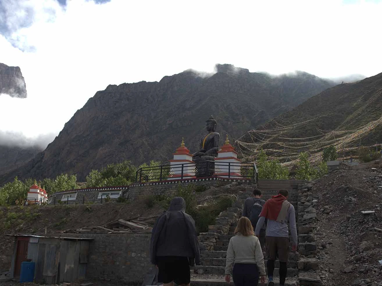
We take a brief rest at the pass before starting our descent into the holy valley of Muktinath. Meanwhile, the route joins the popular Annapurna Circuit trek and passes through the old village of Jharkot with its historic fortress ruins. We walk the final stretch of the day up to the sacred pilgrimage hub of Muktinath. We check into our teahouse to drop off our heavy bags. You can visit the main temple complex in the late afternoon to see the 108 brass water spouts and the eternal flame that burns from natural gas jets.

Included activities:

  • Climb the long, steep mountain trail to the Gyu La pass at 4,077 m.
  • View the high peaks of the Annapurna and Dhaulagiri ranges from the pass.
  • Hike through the historic village of Jharkot to see the local monastery.
  • Visit the sacred Muktinath temple complex to see the holy water spouts.
Dhaulagiri from Gyu La Pass
Between Chungsang to Muktinath
Muktinath Temple
traditional village of Geling
Day13
  • Meals:Breakfast, Lunch, Dinner
  • Accommodation:Teahouse
  • Trek Distance:19 km
  • Trek Duration:5 hours
  • Sleep Elevation:2,720 m
  • Overnight Place:Jomsom
  • Day's Difficulty:Moderate

We begin our final day of trekking by walking down the wide valley toward the Kali Gandaki River. The trail leads us through the ancient, medieval village of Jharkot, where you see traditional mud-brick houses and green fields. You must prepare for strong headwinds that blow up the valley starting around mid-morning. But the gradual downward gradient makes the long distance manageable as we drop in altitude.

We reach the flat, rocky riverbed and follow the wide path back toward the district's administrative hub. Meanwhile, the route passes through Eklebhatti before joining the main trail that links the Mustang region to lower districts. We arrive in Jomsom early in the afternoon to complete our trekking circuit. We check into our final mountain teahouse to unpack and celebrate our journey. You can enjoy a hot shower and explore the local shops to buy regional apple products or souvenirs.

Included activities:

  • Hike down the wide mountain valley from Muktinath.
  • Pass through the historic farming settlements of Jharkot and Eklebhatti.
  • Trek along the windy Kali Gandaki riverbed floor.
  • Complete the trek circuit and check into your teahouse in Jomsom.
Day14
  • Meals:Breakfast, Lunch, Dinner
  • Accommodation:Teahouse
  • Flight Duration:20 minutes
  • Sleep Elevation:830 m
  • Overnight Place:Pokhara
  • Day's Difficulty:Easy

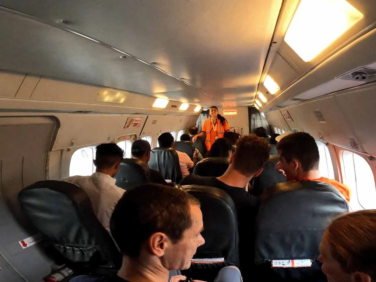
We head to the Jomsom airport early in the morning to catch our return flight to Pokhara. The small aircraft departs before the high winds rush through the deep Kali Gandaki valley, grounding all air traffic. You shift your gaze out the window to catch your last look at the massive snow peaks of the Annapurna and Dhaulagiri ranges. But you must remain flexible, as sudden weather shifts at high altitude can sometimes delay these flights.

We land at Pokhara Airport after a brief flight, then transfer directly to our hotel. Meanwhile, the rest of your day is entirely free to enjoy at your own leisurely pace after days on the dusty trail. We gather in the evening for a final dinner to celebrate the successful completion of your wilderness journey. You can spend your afternoon shopping for souvenirs, getting a massage, or relaxing at a lakeside cafe.

Included activities:

  • Catch an early morning mountain flight from Jomsom airport.
  • Fly through the deep Kali Gandaki gorge back to Pokhara.
  • Transfer to your hotel upon arrival in the lakeside city.
  • Enjoy a free afternoon for relaxation and shopping.
inside plane
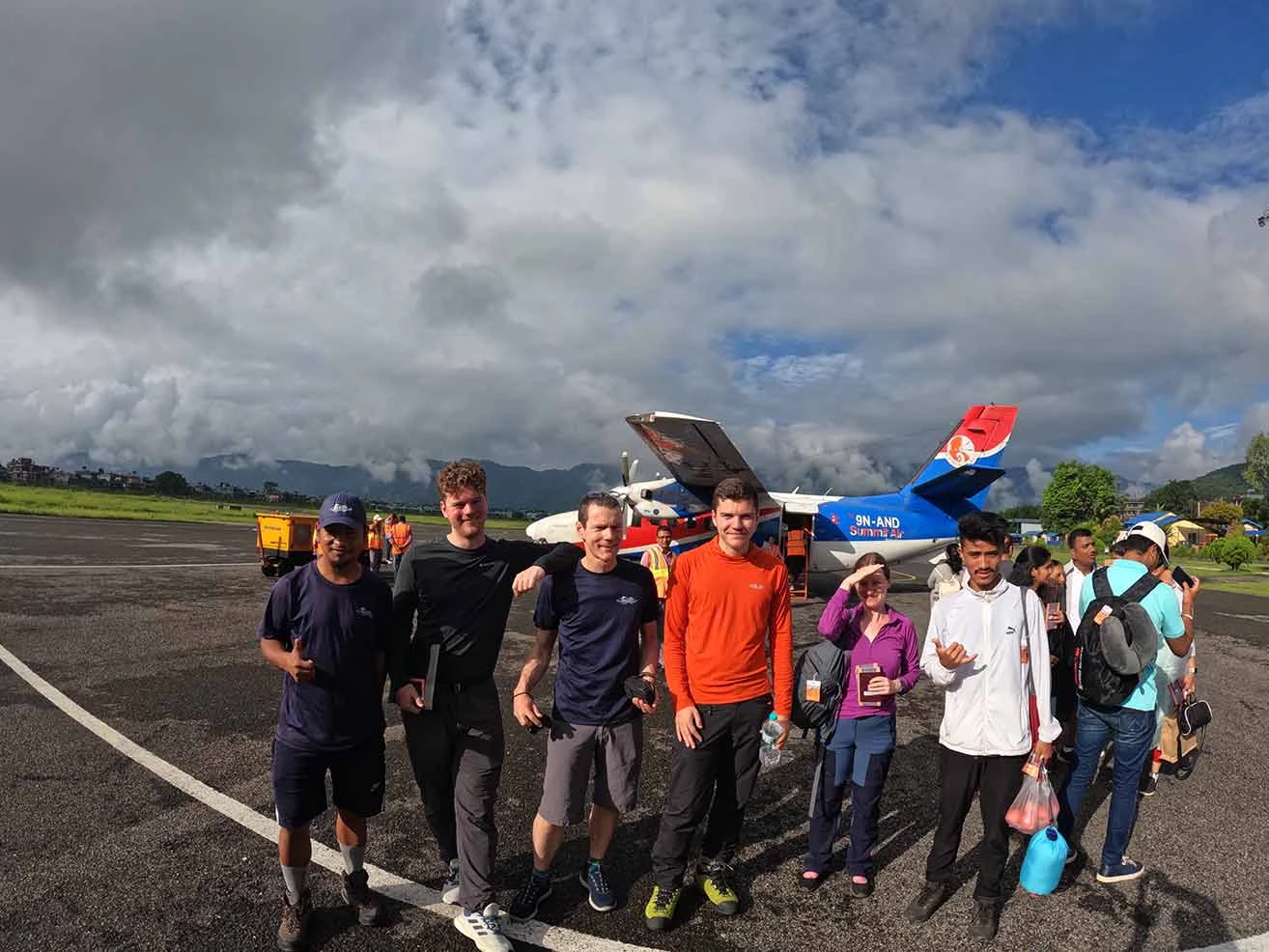
jomsom airport
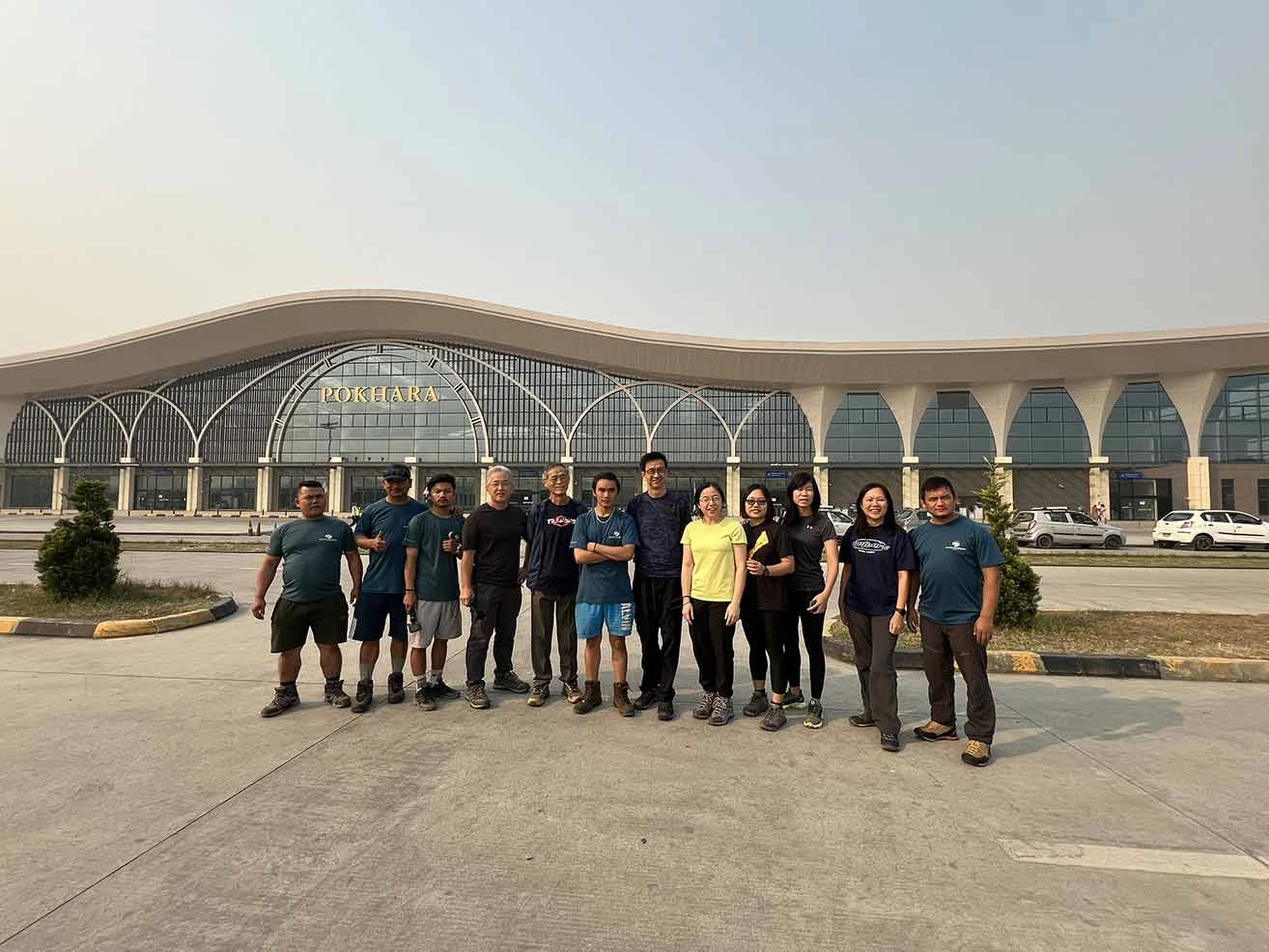
pokhara airport
Day15
  • Max. Altitude:1,400 m/4,600 ft
  • Meals:Breakfast, Dinner
  • Duration:6-7 hours
  • Drive Distance:200 km
  • Drive Duration:6-7 hours
  • Sleep Elevation:1,400 m
  • Overnight Place:Kathmandu
  • Day's Difficulty:Moderate

Today is the last day of our trek in Upper Mustang. We board our private vehicle early in the morning to begin our overland return journey to the capital city. The route follows the winding Prithvi Highway along the banks of the Marshyangdi and Trishuli rivers. You will experience a slow pace of travel because the ongoing 2026 highway expansion projects create frequent traffic bottlenecks and dusty detours. But the vibrant scenes of rural life, terraced hillsides, and small highway towns keep the journey interesting.

We stop for a local lunch at a riverside restaurant before tackling the steep climb up the Kathmandu valley rim. Meanwhile, the traffic slows down further as we approach the main Nagdhunga entry checkpoint into the bustling capital. We arrive in the city center by late afternoon and drive directly to your chosen location to conclude our services. You can check into your hotel, as overnight accommodation in Kathmandu is not included in this trek package.

Included activities:

  • Travel by private vehicle along the scenic Prithvi Highway.
  • Stop for a traditional lunch at a highway restaurant next to the river.
  • Navigate the mountain highway back into the Kathmandu valley.
Download Pdf

Route Map

Upper Mustang Trek – 15 Days map

Cost Details

Includes

  • Airport pick-up and drop-off services during arrival and departure times
  • Transportation costs from Kathmandu to Pokhara and Pokhara to Kathmandu, both ways on a tourist bus
  • Domestic flight cost: Pokhara-Jomsom-Pokhara, including guide (both ways)
  • Accommodations during the trek, as per the itinerary
  • Meals on full board (14 breakfasts, 12 lunches, and 12 dinners) during the trek
  • English-speaking, government-licensed, experienced Nature Excursions’ native guide and strong porter to help with your luggage (luggage weight limit is 10 kg per trekker)
  • You get an assistant guide group of 8 or more trekkers
  • Down jacket and four seasonal sleeping bags (to be returned after trek completion)
  • Trekking information management system (TIMS) card fees
  • Special Permit for Upper Mustang Trek
  • All necessary paperwork
  • A comprehensive first-aid medical kit is carried by the guide
  • An oximeter to check your pulse and oxygen level to keep your body safe.
  • Complimentary farewell dinner at the end of the trek, after trek completion at the Nepali cultural restaurant
  • All government, local taxes, and company service charges

Excludes

  • International flight fare
  • Nepal visa fee for multiple entries on arrival at Tribhuvan International Airport
  • All hotel accommodation and meals in Kathmandu
  • Hotel in Pokhara due to early arrival, late departure, or early return from the scheduled itinerary
  • Your personal clothing and gear
  • Personal expenses such as: phone calls, laundry service, hot showers, bar bills, internet, hot and cold drinks, battery recharging, shopping, boiled water, mineral water, extra porters, etc.
  • It is necessary to have travel insurance for emergency rescue operations in the event of a serious medical condition.
  • Additional costs due to delays caused by circumstances beyond our control, like: landslide, itinerary modifications due to safety concerns, weather conditions, illness, changes in government policies, and strikes
  • All the costs and expenses that are not listed in the include section
  • Tips for guide, porter, and driver (expected)

Upper Mustang Trek – 15 Days pictures and video

15 DAYS UPPER MUSTANG TREK 2023 | HIDDEN KINGDOM | MONSOON TREK

Clients Reviews

  • Review of journey

    Good to meet new people with this group and the guidence is so good and so friendly ️
    Emanuel , Praveen , anil, ashish guided well with good patience
    I sugest any solo travellers to go with this group

    R
    Reddy SIndiaApr 21, 2026
    TripAdvisor

Useful Information

Culture, Religion, and Heritage of Upper Mustang
Upper Mustang Culture

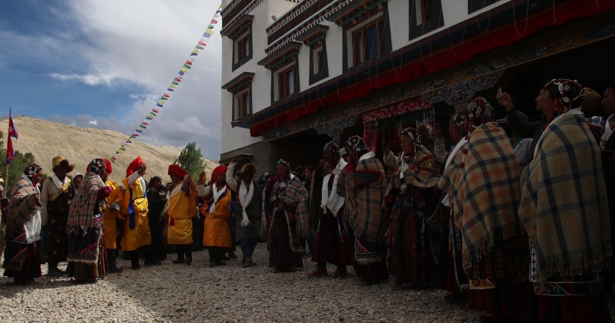
Upper Mustang Valley sits in the rain shadow of the Himalayas. This isolation protected its rich heritage from outside influences for centuries. The region functions as a living museum of ancient Tibetan traditions. You will encounter deep-rooted Buddhist practices, historical monuments, and unique social structures throughout the trek.

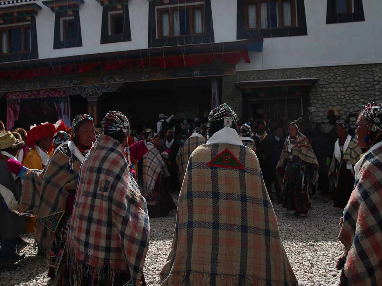
Experiencing the Tiji Festival in Lo Manthang

The Tiji Festival is a three-day ritual that occurs in May. Locals gather in the walled city to watch monks perform sacred dances. These dances re-enact the myth of a son who saves the region from devastation by defeating his demon father. The festival drives away evil spirits and brings peace to the kingdom. You must plan your trek months in advance to secure the required permits for this specific time.

Exploring Ancient Monasteries and Sacred Sites

The landscape features numerous red-walled monasteries dating back to the 14th century. Thubchen Gompa and Jampa Gompa are the most prominent structures in Lo Manthang. Inside, you will see delicate clay statues and ancient wall paintings. These murals depict various Buddhist deities and historical teachers. Local monks still look after these sites, and they continue to use them for daily prayers.

The History and Heritage of the Walled City of Lo Manthang

The historical capital features an earthen wall that stands nine meters high. King Ame Pal built this fortification in the early 15th century to defend against invaders. The interior contains a dense network of white-washed mud-brick homes and narrow alleys. The former royal palace still occupies the center of the settlement. This structure represents the architectural center of the ancient kingdom.

Tibetan Culture Preserved in Time

The local people speak a dialect of Tibetan and follow the Sakya sect of Buddhism. Their daily routines revolve around agriculture, animal husbandry, and trade. The harsh climate forces many residents to migrate south during the winter months. But those who stay maintain old traditions, such as polyandry and sky burials. These practices remain intact due to the long-standing restriction on tourism.

How difficult is the Upper Mustang trek?

The Upper Mustang trek is a moderate journey, but it demands solid physical stamina. You do not climb to extreme altitudes like other classic high altitude treks. Most trails range from 2,800 m to 3,800 m. However, the terrain is dry, rocky, and exposed to harsh weather. You will walk 5 to 7 hours a day over loose dirt and steep stone steps.

Physical preparation must begin two months before you arrive. Focus on cardiovascular training and leg strength. You will encounter long descents that challenge your knees. If you can walk 12 km on hilly terrain with a daypack, you can complete this trek.

How Can Trekkers Manage Mustang’s Daily Trail Conditions and Prepare for Afternoon Winds?

Strong winds rip through the Kali Gandaki Gorge every day after 11:00 AM. These winds blow dust and pebbles directly into your face. The air is exceptionally dry, which can cause skin chapping and respiratory discomfort. You must pack a high-quality windproof jacket, wrap-around sunglasses, and a breathable buff to protect your airways. 

We plan our trekking days to start early. We aim to hit the trail by 7:00 AM so we can reach our next destination before the heaviest winds start. Drink at least 4 liters of water daily to combat the dehydrating effect of the dry wind.

Risk of Acute Mountain Sickness (AMS) and Prevention

The highest point on this trek is 4,230 m at the Marang La pass, also called Chogo La Pass. This height is enough to trigger Acute Mountain Sickness if you ascend too fast. Look out for early symptoms like persistent headaches, dizziness, loss of appetite, and nausea. Do not ignore these signs. Prevention relies entirely on a gradual ascent pace. 

Our itinerary limits daily altitude gains to safe limits. Avoid alcohol and sleeping pills entirely during the trek. If symptoms worsen, you must descend immediately to a lower altitude. We carry a comprehensive first-aid kit and monitor your oxygen levels daily.

Can I trek Upper Mustang without a guide?

You cannot trek Upper Mustang completely on your own. The Government of Nepal classifies Upper Mustang as a restricted area to protect its fragile Tibetan culture and border security. The Department of Immigration enforces strict rules for entry. But you can trek solo if you hire a licensed guide. The law previously required a minimum of 2 trekkers, but current regulations allow a single traveler to obtain a permit with a registered guide. You must hire an authorized trekking agency to process your paperwork and accompany you on the trail.

When is the Best Time to Do the Upper Mustang Trek?

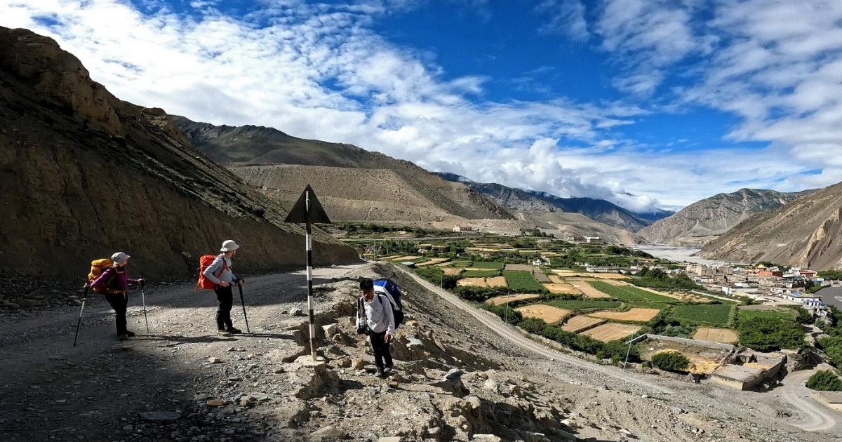
Spring and autumn are the best times to trek in the Upper Mustang. From March to May, spring brings stable weather and mild daytime temperatures ranging from 13°C (55°F) to 22°C (72°F). The winter snow melts away, and the apple orchards in the lower valleys begin to bloom. This season also hosts the famous three-day Tiji Festival in Lo Manthang, making it perfect for cultural immersion. But you must prepare for strong afternoon winds that blow dry dust across the Kali Gandaki Valley.
Kagbeni

Meanwhile, autumn runs from September to November and offers the year's clearest skies. The monsoon rains clear the atmosphere, which guarantees sharp visibility of Mount Dhaulagiri and Mount Nilgiri. Daytime temperatures remain comfortable between 12°C (54°F) and 20°C (68°F), though nights drop below freezing in high altitudes. This is also harvest season, so you will see local villagers active in the fields. Likewise, the vibrant Yartung Festival falls around late August or early September, providing another excellent window for travelers.

Why Upper Mustang is Nepal’s Best Summer/Monsoon Trek

Upper Mustang remains completely dry from June to August because it lies entirely within the Himalayan rain shadow. The massive Annapurna and Dhaulagiri mountain ranges act as a giant wall, blocking the moisture-laden monsoon clouds coming from the south. While the rest of Nepal faces heavy rainfall, muddy trails, and leeches, Upper Mustang offers sunny skies and solid walking paths.

The high-altitude desert landscape comes alive with green buckwheat fields, and the red cliffs take on an exceptionally sharp hue under the summer sun. Also, this is the off-season for tourism, so you can explore the ancient walled city of Lo Manthang without the usual crowds. Thus, Upper Mustang is Nepal's best summer or monsoon trek.

Mandatory Upper Mustang Trek Permits & Rules

You must obtain a specific government permit for the Upper Mustang region. Nepal enforces these regulations to control tourism numbers and preserve the fragile border culture near Tibet. You cannot buy these permits at the trailhead; a registered trekking agency must organize them in advance.

Restricted Area Permit (RAP)

The Restricted Area Permit is the primary document required to enter Upper Mustang beyond Kagbeni. For 2026, the government scrapped the old flat fee and replaced it with a flexible system charging USD 50 per person per day. This means you only pay for the exact number of days you spend inside the restricted zone.

Annapurna Conservation Area Permit (ACAP)

The Upper Mustang lies in the Annapurna Conservation Area. So you need an ACAP entry permit. This permit costs NPR 3,000 (approximately USD 30) for foreign nationals. Unlike the daily restricted permit, the ACAP remains valid for your entire trek duration without any time limits or daily extensions. 

New 2026 Solo Trekker Regulations

On March 22, 2026, the Department of Immigration officially removed the rule requiring a minimum of 2 trekkers per group for restricted areas. You can now legally obtain an Upper Mustang permit as a solo traveler. But this rule change does not mean you can hike independently. Hiring a licensed trekking guide remains mandatory for all foreign nationals, and you must process your paperwork through a registered Nepali trekking agency.

Can Indian Citizens Do the Upper Mustang Trek Without a Visa for Nepal?

Yes, Indian citizens can complete the Upper Mustang trek without a visa for Nepal. Under the open-border treaty between India and Nepal, Indian nationals do not require a visa to enter Nepal. You only need to present a valid Indian passport or an Election Commission Voter ID card at immigration checkposts. But this visa exemption does not mean you can walk into Upper Mustang freely. The Upper Mustang region borders Tibet and remains a highly regulated, restricted trekking zone.

Even though you do not need a visa, you must still pay for the mandatory permits. The Restricted Area Permit costs USD 50 per day per person for SAARC citizens, the same as the fee for other international trekkers. Also, the revised March 2026 rules allow you to obtain this permit as a solo traveler. You no longer need a group of two trekkers, but you must hire a licensed Nepali trekking guide through a registered agency.

Jeep Tour vs Trekking Package: Which is Right For You?

If you want a rugged, physically demanding journey that tests your endurance on foot, choose the trekking package. But if you have limited time, prefer physical comfort, or travel with family, the jeep tour is your best option.
Way to Chhuksang

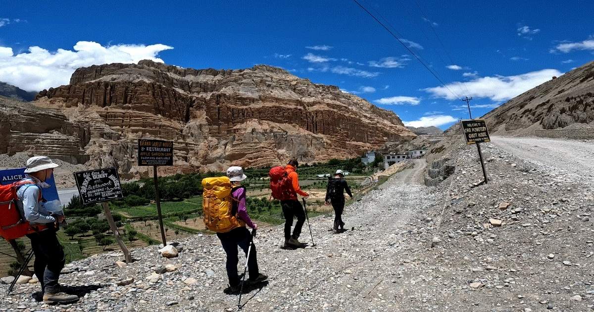
Both choices take you through the same desert-like landscapes, but they offer completely different ways to experience the region. The choice between a jeep tour and a trekking package comes down to your physical fitness and available time.
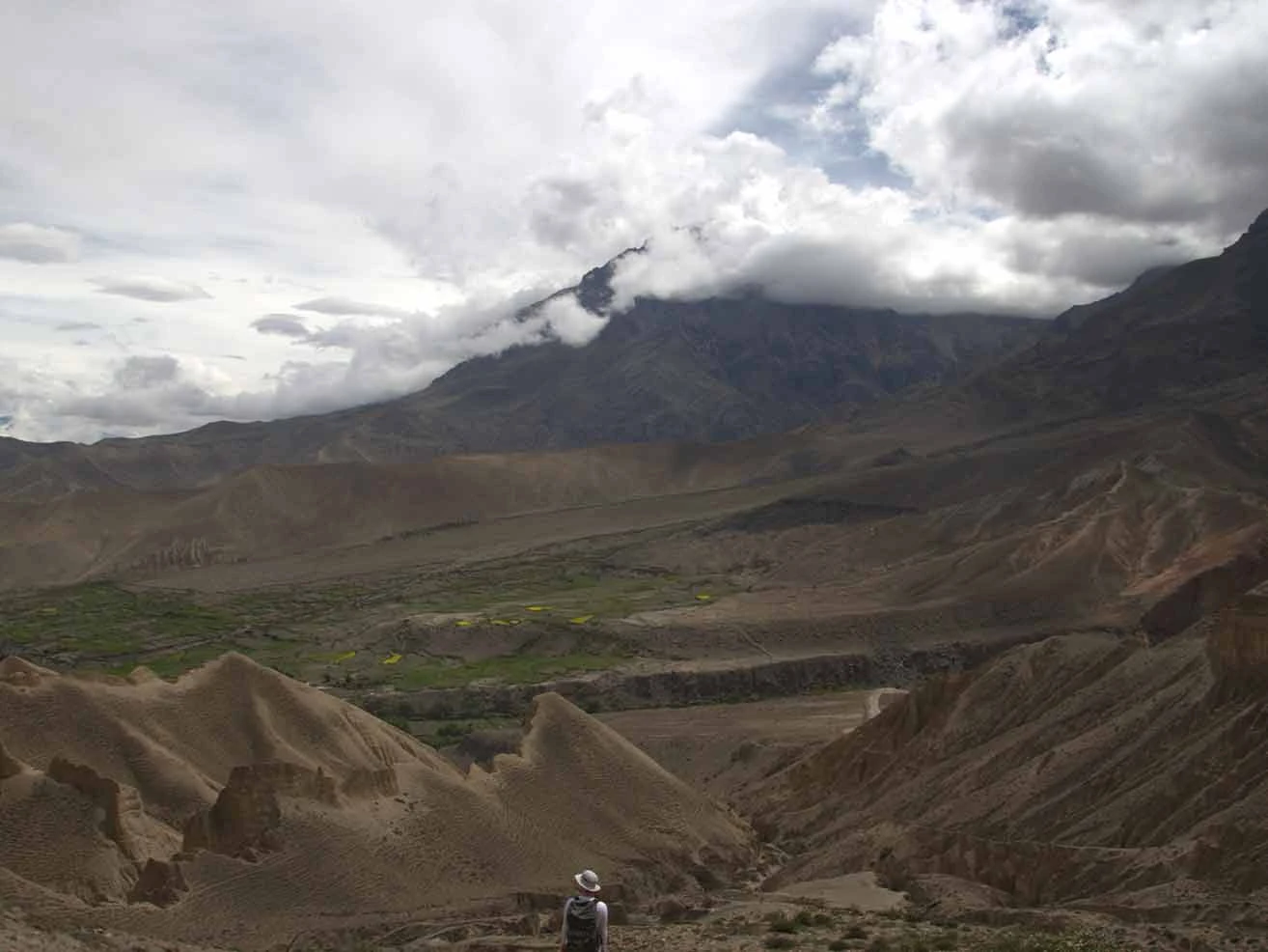
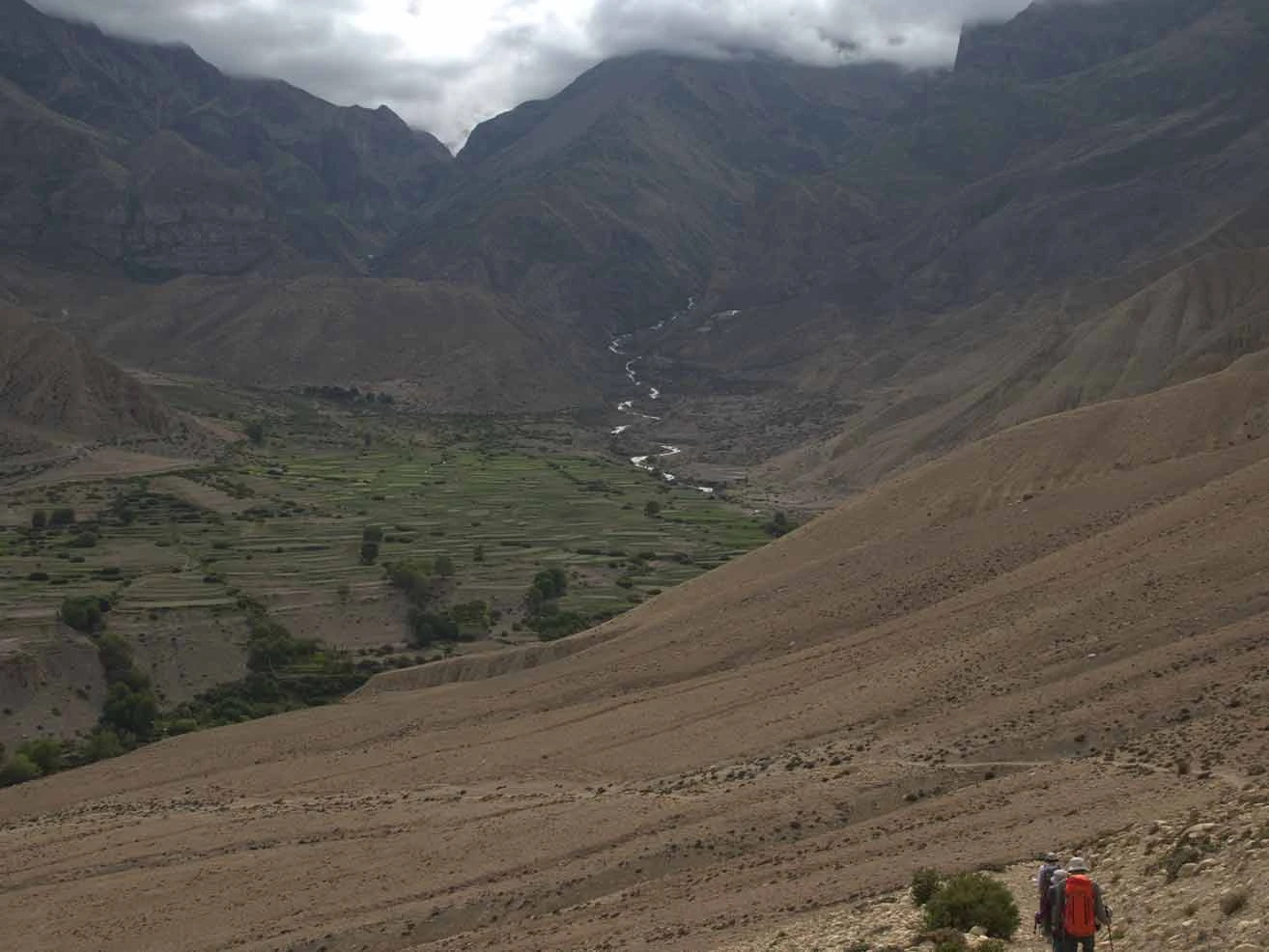
The trekking package requires you to walk for several hours a day at high altitudes. It demands strong physical stamina and careful acclimatization, but it lets you connect deeply with the local culture and changing terrain.

Meanwhile, the jeep tour significantly reduces your travel time and eliminates physical exhaustion. You can reach Lo Manthang in a fraction of the time, which makes it ideal for anyone worried about the physical strain of thin air. Also, remember that both options require a mandatory licensed guide, even if you travel solo.

Upper Mustang Trek vs Annapurna Circuit Trek

Choosing between the trek to Upper Mustang and the Annapurna Circuit Trek depends entirely on what you want from the Himalayas. Upper Mustang takes you through a high-altitude desert heavily influenced by Tibetan culture. Meanwhile, the Annapurna Circuit offers a classic alpine journey that traverses multiple climate zones and culminates at a massive high-altitude pass.

Comparison FeatureUpper Mustang TrekAnnapurna Circuit Trek
Landscape TypeHigh-altitude arid desert, caves, and red cliffs.Lush green sub-tropical valleys to alpine ridges.
Maximum Altitude3,840 m (Lo Manthang) or 4,230 m (Marang La).5,416 m (Thorong La Pass).
Trek DistanceApproximately 110 km to 160 km.Approximately 160 km to 230 km.
Average Duration10 to 15 days.12 to 18 days.
Difficulty LevelModerate (Mainly due to strong afternoon winds).Challenging (Mainly due to extremely high altitude).
Permits RequiredRAP, ACAP, and TIMS Card.ACAP and TIMS Card.
Permit CostsUSD 50 per person per day for RAP + USD 30 for ACAP.USD 30 for ACAP + USD 20 for TIMS Card.
Guide RequirementMandatory licensed guide. Solo trekking is allowed with a guide.Mandatory licensed guide.
Best Travel SeasonMarch to November (Excellent during monsoon season).March to May and September to November.

Why Book Your Upper Mustang Trek With Nature Excursion?

You should book your Upper Mustang Trek with Nature Excursion because we handle every logistical detail to ensure compliance with the complex 2026 restricted-area regulations. Our team secures your specialized Upper Mustang Restricted Area permit and handles the mandatory paperwork through the Department of Immigration before you arrive. You receive the services of a licensed, English-speaking guide who possesses intimate knowledge of the trans-Himalayan terrain, local weather patterns, and Tibetan-Buddhist culture. But we do not include Kathmandu hotel stays in our base costs, giving you total freedom to choose your own accommodation in the capital. Also, our extensive operational network ensures reliable private transport along the Prithvi Highway and priority booking for the weather-dependent Jomsom mountain flights.

Our specialized itineraries are built around safety, proper altitude acclimatization, and transparent pricing. We monitor your physical health daily using oximeters and pulse readings to help your body adapt safely to heights above 4,000 m. Meanwhile, our guides maintain direct communication with emergency helicopter rescue services in case of severe altitude sickness or sudden trail closures. You pay a clear package price with a fixed deposit, ensuring no hidden costs for your ground logistics, teahouse stays, and standard trekking meals. We also accommodate the latest 2026 policy updates, allowing us to legally organize fully compliant solo treks with a mandatory guide for independent travelers.

Upper Mustang Trek – 15 Days FAQs

  • Q1. How difficult is the Upper Mustang trek?

    The Upper Mustang trek is considered moderately difficult, requiring a good level of physical fitness to handle 5 to 7 hours of daily walking at altitudes reaching 3,800 meters. The main challenges are the dry, high-altitude terrain, steep rocky climbs, and strong, dust-laden afternoon winds rather than technical climbing.

  • Q2. Is the Upper Mustang trek worth it?

    Yes, the upper Mustang trek is 100% worth it. This trek offers quite different scenery from the rest of the Himalayas. The climate, terrain, nature, and locals are unlike anywhere else in Nepal. The overall journey is very adventurous, enticing, and gratifying.

  • Q3. Why is Upper Mustang so expensive?

    The Upper Mustang Trek is more expensive than most treks in Nepal because it lies within a restricted area that requires a special permit costing USD 50 per person per day. The region is also remote, making transportation, accommodation, and logistics more costly.

  • Q4. Which month is best for Upper Mustang?

    The best months to visit Upper Mustang are March to May and September to November, when the weather is stable, and the skies are clear. Upper Mustang also remains accessible during the monsoon season (June to August) because it lies in the Himalayan rain shadow, making it one of the few excellent summer trekking destinations.

  • Q5. Why is Upper Mustang famous?

    Upper Mustang is famous for its ancient Tibetan culture, dramatic desert-like landscapes, centuries-old monasteries, and the historic walled city of Lo Manthang. Often called the "Last Forbidden Kingdom," it remained closed to foreign visitors until 1992. Thus, its unique traditions, architecture, and way of life remain remarkably well preserved till date.

  • Q6. Why is Upper Mustang a restricted area?

    Upper Mustang is a restricted area, set aside to preserve its fragile Tibetan culture and ancient heritage from the negative impacts of mass tourism. Additionally, its proximity to the sensitive border with Tibet (China) prompts the Nepalese government to strictly monitor and regulate access for geopolitical security.

  • Q7. Does it snow in Upper Mustang?

    Yes, in the winter season, the upper Mustang sees heavy snowfall to the point that some villagers drop down to lower elevations to spend the winter.

  • Q8. What cultural etiquette should I follow during the Upper Mustang trek?

    You must always walk to the left side of Buddhist shrines, chortens, and mani walls to respect local Tibetan traditions. Also, ask for explicit permission before photographing residents, monks, or the interior of ancient monasteries.

  • Q9. Can I apply for the Restricted Area Permit by myself?

    No, the Department of Immigration does not issue these permits directly to individual independent tourists. Your permit must be legally processed and obtained through a registered Nepali trekking agency.

  • Q10. Is it better to trek or drive to Lo-Manthang?

    It is better to trek than to directly drive to Lo-Manthang. Trekking lets you acclimate to the altitude gradually as you walk through ancient villages and high desert valleys. Driving is much faster but exposes you to bumpy dirt roads and a higher risk of acute mountain sickness from rapid ascent.

  • Q11. When is the Tiji Festival in Lo Manthang?

    The Tiji Festival in Lo Manthang takes place from 13 to 15 May every year. This three-day annual event features sacred mask dances performed by Buddhist monks at the Chhode Monastery.

  • Q12. How is Upper Mustang different from Annapurna and Everest treks?

    Upper Mustang features a dry, rain-shadow desert landscape with wind-eroded cliffs and ancient caves, rather than the lush forests of the Everest region. Also, the region preserves a distinct, untouched Tibetan Buddhist culture behind a walled capital city.

  • Q13. What is the highest altitude of the Upper Mustang Trek?

    The standard Upper Mustang Trek reaches its highest point at the Chogo La Pass (also known as Marang La) at an altitude of 4,230 m. While the primary destination of the trek is the ancient walled capital of Lo Manthang sits at a slightly lower elevation of 3,840 m.

  • Q14. How much does the Upper Mustang Trek cost?

    The cost of the Upper Mustang Trek with Nature Excursion ranges from USD 1,620 to USD 1,750 per person, depending on the group size. The price is USD 1,750 for 2 people, USD 1,720 per person for groups of 3-5, USD 1,670 per person for 6-10 participants, and USD 1,620 per person for groups of 11-16.