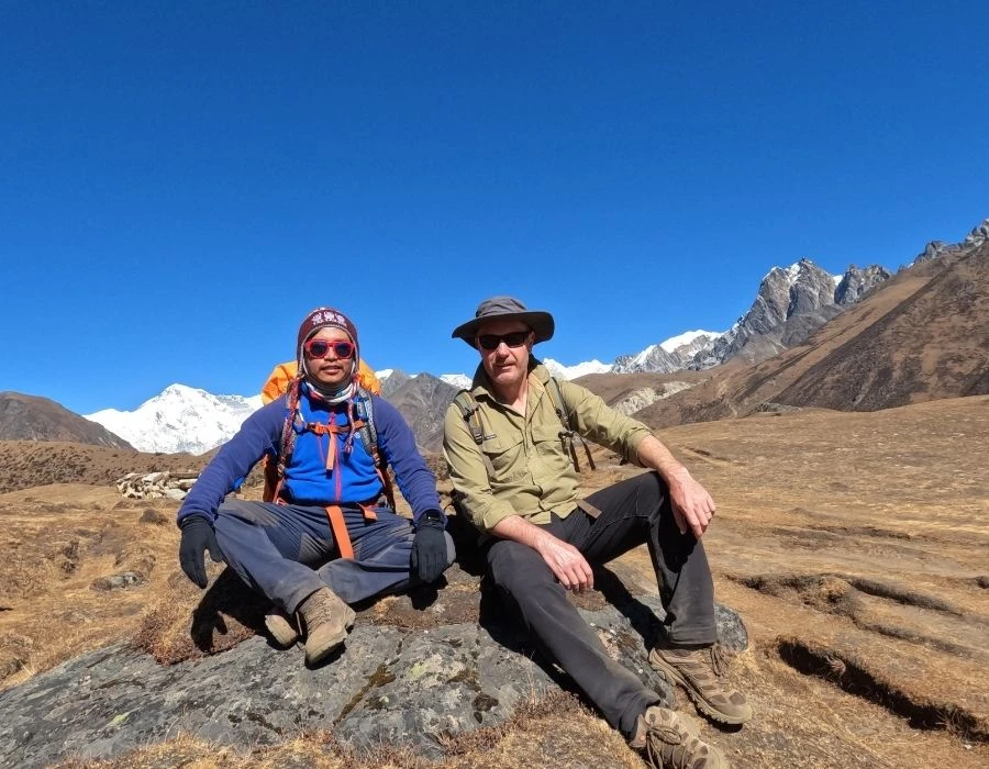
Why Trek to Gokyo Lakes Instead of Everest Base Camp?
The Gokyo Lakes Trek is a great choice if you want to experience the Everest region without following the usual Everest Base Camp route. The trail takes you through the peaceful Gokyo Valley, with beautiful turquoise lakes, dramatic mountain scenery, and fewer trekkers along the way.
One of the highlights of the trek is Gokyo Ri. From the top, you get an incredible view of Mount Everest, Cho Oyu, Lhotse, Makalu, and several other Himalayan peaks. The route also gives you a close look at the Ngozumpa Glacier, one of the largest glaciers in the Himalayas, along with the stunning Gokyo Lakes.
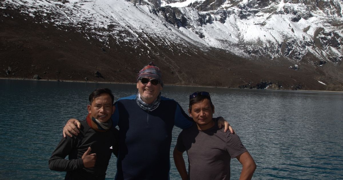
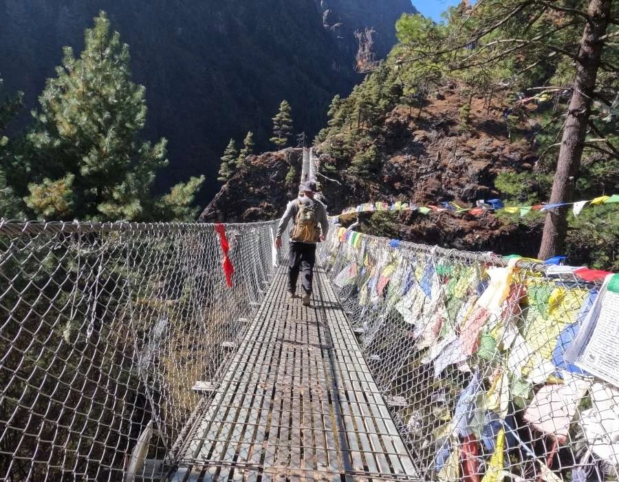
Compared with the Everest Base Camp route, the Gokyo trail tends to feel quieter and more relaxed. Along the way, you’ll pass through traditional Sherpa villages, visit Buddhist monasteries, cross suspension bridges, and get a chance to experience everyday life in the high Himalayas.
If your priority is mountain views, peaceful trails, beautiful alpine lakes, and a more off-the-beaten-path experience, the Gokyo Lakes Trek may be a better fit than the Everest Base Camp Trek.
Ready for Gokyo?
Secure your place on the Gokyo Lake Trek and get ready to explore turquoise lakes, glaciers, and Himalayan views.
How does the Gokyo Lake Trek’s difficulty level relate to the risk of altitude sickness, and what precautions can be taken?
The Gokyo Trek is challenging, primarily due to its high-altitude profile, which peaks at more than 5,300 m at Gokyo Ri. This high altitude sickness directly increases the risk of altitude sickness. Since the trek begins ascending from Lukla at 2,860 m, oxygen saturation begins to drop above 3,000 m. Thus, altitude remains the primary challenging factor, and well-planned acclimatization is essential for a safe experience.
Altitude sickness
Altitude sickness, or acute mountain sickness (AMS), happens when your body has trouble adjusting to lower oxygen levels at high altitudes, usually above 2,500 m. This is due to lower air pressure, which reduces the amount of oxygen available for breathing. On the Gokyo Lakes Trek, you face a higher risk because the route climbs to places like Machhermo at 4,470 m, Gokyo Village at 4,790 m, and Gokyo Ri at 5,357 m, where the oxygen supply can drop to about 50% of what you have at sea level. Factors such as rapid ascent, personal health, and existing conditions, such as respiratory problems, can exacerbate altitude sickness, turning an otherwise enjoyable trek into a serious health issue.
If you experience mild altitude sickness (AMS), you may experience headaches, nausea, fatigue, dizziness, loss of appetite, and difficulty sleeping. If left untreated, severe forms of altitude sickness can develop. High-altitude pulmonary edema (HAPE) is characterized by fluid accumulation in the lungs, leading to shortness of breath. High-altitude cerebral edema (HACE) results in confusion, lack of coordination, hallucinations, and can even lead to a coma. On this trek, the risk posed by these conditions is highest between Machhermo and Gokyo. Less than 5% of well-acclimatized trekkers will have severe cases. However, watch for early signs, as they can worsen quickly in the thin air.
Gokyo Lake Trek Precautions
The 13-day Gokyo Lake Trek is a moderate-to-challenging-level trek that requires a good level of physical fitness and endurance. Therefore, it is essential to prepare yourself physically before experiencing this trek.
Here are some tips to help you prepare for the Gokyo Lake Trek in Nepal:
- Start by building your stamina with regular cardio exercises like running, cycling, or swimming. Aim for at least 30 minutes of exercise per day, and gradually increase the duration and intensity of your workouts.
- Add strength-training exercises to your routine to build your muscles and improve your overall fitness. Focus on exercises that target your legs, core, and back muscles, as they will be heavily used during the trek.
- Go on regular walks while carrying a 5 kg backpack.
- Add Yoga and meditation to your daily routine for mental preparedness.
The Real Reason Gokyo Village Was Relocated After the 1995 Glacier Lake Outburst
Although many trekkers visit the area to experience peace and calm, they are unaware of the region's hazardous history, particularly the risk of glacier lake outburst floods (GLOFs). A GLOF occurs when a glacial lake, formed from melting ice and held back by rocks, suddenly cracks open. This can occur due to natural disasters such as earthquakes, avalanches, or heavy rainfall, which result in the rapid downslope transport of water, rocks, and mud.
In the Khumbu region, a major glacial lake outburst flood (GLOF) occurred on August 4, 1985, when Dig Tsho Lake overflowed. Here’s what happened:
- Around noon, an ice avalanche from the Langmoche Glacier entered the lake, displacing a large volume of water.
- Minutes later, the dam holding back the lake failed, releasing more than 10 million cubic m of water.
- The flood rushed down the Dudh Kosi Valley at speeds of up to 20 m/s.
- Although the flood slowed after a few hours, it left a path of destruction almost 90 km long.
Effects of Impact
The immediate impact of this GLOF was devastating for local infrastructure and communities. The Khumbu region was severely affected, including the access routes to Gokyo Village. The villages like Langmoche and nearby settlements were destroyed. This GLOF claimed five lives and displaced hundreds of families. The trails that led to various trekking destinations in the Khumbu region were either buried or completely eroded. As a result, higher villages such as Gokyo were completely isolated and impassable. Lodges and teahouses by the Dudh Kosi river were damaged or destroyed.
This included the nearly completed Namche Small Hydropower Project, which was lost just before it was scheduled to open. This caused millions in repair costs. The flood also destroyed 14 bridges, damaged farmland, and harmed livestock. This harmed the local economy, which depends on tourism and agriculture. Old villages, like Langmoche, were found to be unsafe. They were too close to unstable glacial lakes and riverbanks that flood often. The ground is weak there, and future floods could recur due to erosion.
Post Impact Assessment
Post-disaster reports revealed that the sites were highly vulnerable to debris flows and rapid water-level rises. There were also no natural barriers required for protection. After this assessment, the new relocation sites were selected on higher ground, away from the main river channel. The new location had stable terrain, with better drainage, and was farther from glacial sources. For example, Thame was fully relocated to an elevated site in accordance with recommendations from experts and local Sherpa communities.
Lessons for Modern Trekkers and Lodge Owners
The 1985 GLOF offers valuable lessons for modern trekkers and lodge owners regarding preparedness. It highlighted the need to account for GLOF risk during itinerary planning and in emergency evacuation drills. Several current safety measures around Gokyo Lakes include regular monitoring of lake levels. The International Centre for Integrated Mountain Development (ICIMOD) uses early-warning systems with sensors and reinforced dams on potentially dangerous lakes, such as Thonak Cho.
Lodge Owners are also taking preventive measures, such as installing elevated foundations and maintaining emergency supplies on-site. Modern trekkers planning to trek to Gokyo Lake should be aware of this history. Climate change has accelerated glacial melt, heightening GLOF risk. Trekkers should consult with advisors, select reliable travel insurance, and avoid Gokyo Valley during the peak monsoon season to ensure safety.
Natural Wonders of Gokyo Valley
The Gokyo Valley is one of the most scenic places among the different regions of Nepal, best known for its natural wonders and ecological significance. Unlike the EBC trek, which is busy and overcommercialized, the Gokyo trek offers a more natural, calmer experience. Even today, the mystery of the trek continues to attract trekkers, expedition experts, and geologists from around the world. The true natural wonders of the valley attract them. The blue glaciers, serene lakes, mountains, and valleys have made this landscape unique.
Gokyo Ri
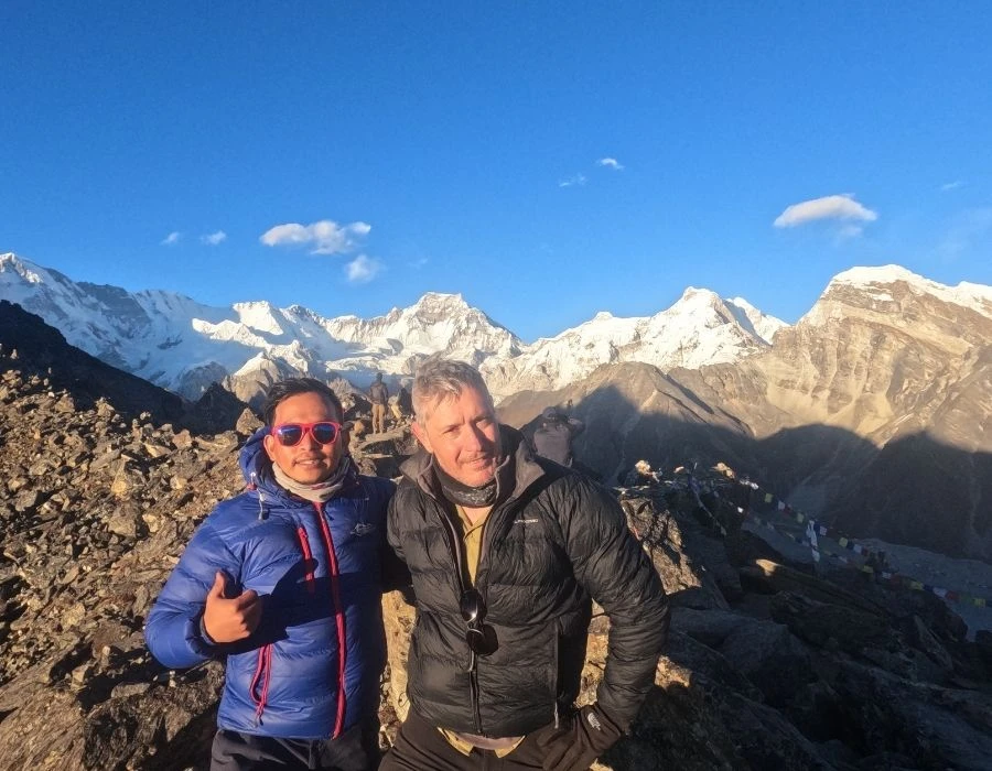
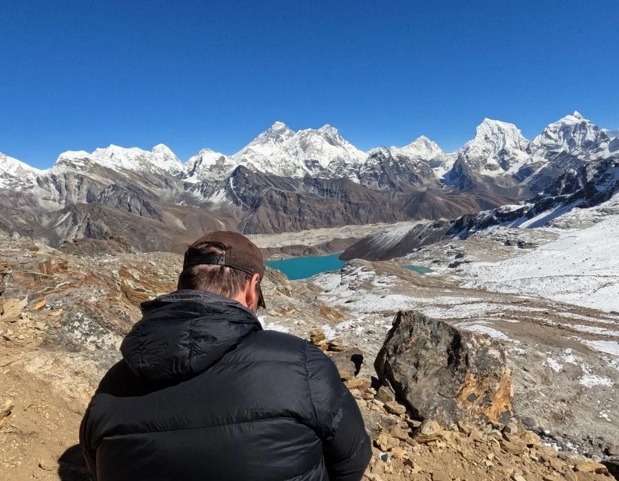
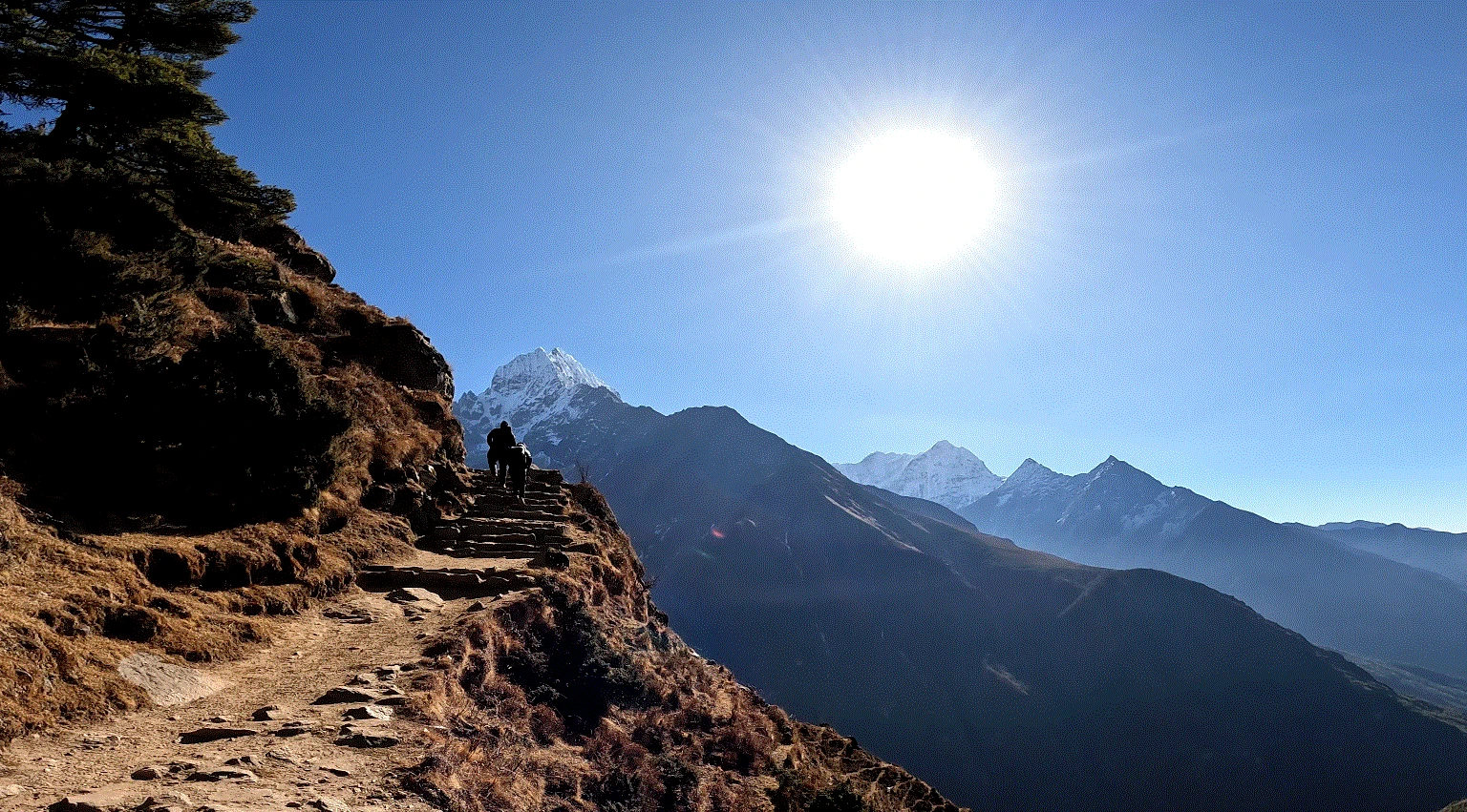
Gokyo Ri, at 5,357 m, is one of the best viewpoints in the Himalayas. After a steep ascent from Gokyo village, we trek to Gokyo Ri. From the top, it offers majestic views of four of the highest mountains in the world: Everest, Lhotse, Cho Oyu, and Makalu. The sunrise from the summit of Gokyo Ri, along with the view of the entire mountain skyline above glacial lakes, is mesmerizing.
Gokyo Lakes
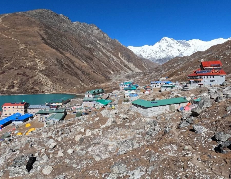
Gokyo Lakes is a chain of six glacial lakes located above 4,700 m. It is the world's highest freshwater lake system. The blue waters of Gokyo Lake are caused by mineral-rich glacial melt. These lakes are significant to Hindus and Buddhists, who consider them sacred. The lakes are also part of a Ramsar site due to their ecological importance.
Ngozumpa Glacier
Ngozumpa glacier is another fantastic natural wonder in Gokyo Valley. It is the longest glacier in the Himalayas, extending more than 36 km. As soon as you reach Gokyo Valley, you will witness the centuries of ice and snow accumulation. The view of this natural wonder is both majestic and humbling.
Renjo La Pass
Renjo La Pass is one of the three high passes in the Khumbu region, located at an altitude of 5,360 m. This pass connects Gokyo Valley with Thame Valley. From the top of the pass, you will get a clear view of Mt. Everest and the surrounding peaks. The bird’s-eye views of Gokyo lakes also attract photographers.
How Lunar Cycles Affect Night Temperatures at Gokyo Lake
Lunar cycles influence nighttime temperatures at Gokyo Lake, primarily through atmospheric radiation and variations in moonlight. During a full moon, lakes receive more light, which slightly warms the surface. Although this additional light doesn’t heat the air, it can delay the rate of cooling. However, during moonless nights, heat loss is higher, causing nighttime temperatures to drop rapidly and resulting in significantly colder nights.
Another reason Gokyo Lake cools more quickly is due to its thin atmosphere and high altitude. For these reasons, the area surrounding Gokyo Lake is more sensitive to radiative cooling, particularly when there are no clouds. Lunar phases indirectly influence atmospheric moisture and cloud cover, which together act as an insulating layer. Because there are no clouds in full moonlight, the sky loses heat quickly; however, moonlight reduces the rate of cooling. During the new moon, there is little cloud cover and light, which rapidly cools surfaces, making these nights extremely cold.
Although Lunar cycles do not significantly change temperatures, their effects are more noticeable at Gokyo Lake. At night, factors such as moonlight, clear skies, surface radiation, and atmospheric moisture interact to produce colder conditions. Trekkers and researchers often find that nights are colder during new moons and milder during full moons. This occurs not because the moon warms the air, but because different moon phases affect the rates of atmospheric and ground cooling.
Have Questions About Trek?
Our experienced local team is here to help with route options, permits, accommodation, transportation, and all the trekking logistics. Send us an inquiry and let's plan your adventure together.
Gokyo Lake Trek Weather Variation
The Gokyo Lake Trek takes you into the Khumbu region of the Himalayas. The weather is influenced by high altitude and glaciers, rather than by large-scale climate changes. The trek starts in cool valleys around Lukla and Phakding, where spring and autumn days are mild, but nights can be freezing. As you ascend, temperatures drop, and nights in Gokyo village can be freezing, even in peak seasons. Winter brings severe cold, snow, and strong winds that can block trails. In spring and autumn, skies are clearer, but you still need warm clothing.
Low Altitudes (Lukla to Namche Bazaar)
- Winter (Dec–Feb): 5°C to -5°C (41°F to 23°F)
- Spring (Mar–May): 10°C to 15°C (50°F to 59°F)
- Autumn (Sept–Nov): 10°C to 18°C (50°F to 64°F)
Mid Altitudes (Dole to Gokyo)
- Winter (Dec–Feb): 0°C to -10°C (32°F to 14°F)
- Spring (Mar–May): 5°C to 10°C (41°F to 50°F)
- Autumn (Sept–Nov): 5°C to 12°C (41°F to 54°F)
High Altitudes (Gokyo Lakes to Gokyo Ri)
- Winter (Dec–Feb): -5°C to -20°C (23°F to -4°F)
- Spring (Mar–May): 0°C to 5°C (32°F to 41°F)
- Autumn (Sept–Nov): 0°C to 8°C (32°F to 46°F)
What is the best season for the Gokyo Lake Trek?
The two trekking seasons best for Gokyo Lake are spring and autumn. They provide ideal weather, temperature, and overall trekking conditions for this high-altitude adventure.
Spring (March to May):
Mid-March marks the beginning of the spring season, when temperatures rise, and lush, thick bamboo, rhododendron blooms, and birch woods add new textures to the trail. This is an excellent time to hike the Gokyo Lake region, with moderate temperatures and clear skies.
Autumn (September to November):
The Gokyo Lakes Trek in autumn (September to November) is one of the best high-altitude hikes in Nepal's Everest region. This time of year offers stable weather, clear skies, and great visibility after the rains. Daytime temperatures are mild for trekking in lower areas and become cold near the lakes. The trails are dry, making it perfect for walking through Sherpa villages, alongside the enormous Ngozumpa Glacier, and up to the six beautiful turquoise glacial lakes sparkling in the sun.
How are the meals and accommodation during the Gokyo Lakes trek?
During the Gokyo Lake Trek, you will find simple accommodation such as teahouses run by friendly local families. At lower elevations, such as Phakding and Namche, rooms are nicer and offer additional services. They provide private bathrooms, hot showers, and, in some cases, free Wi-Fi. Namche, where you spend two nights for acclimatization, has cozy places with amazing views.
You will gather around the fire in the dining room for heat, and share stories with locals or other trekkers. As you travel to Dole, Machhermo, Gokyo (where you will stay for two nights), and Phortse, you will find basic rooms with twin beds, thick blankets, and shared bathrooms. From your window, you can enjoy fantastic mountain views. Nights may be cold, but the peacefulness and scenic beauty make it notable.
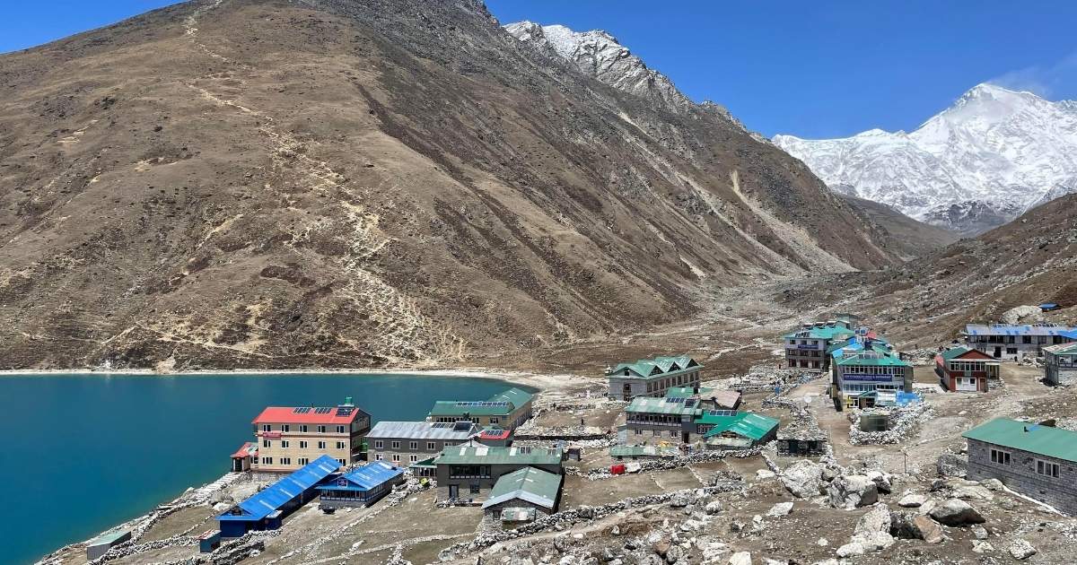
During this trek, you will eat your meals three times a day in the form of Breakfast, Lunch, and Dinner. The most common choices for lunch and dinner include Dal, Bhat, Curry (Rice with lentil soup and veggies). You can get free refills, so you will be full before going to bed. Other options for food are momos, noodles, soups, fried rice, and Tibetan bread. At high altitudes, potatoes grow everywhere. They also serve garlic soup, which helps you remain warm and adjust to altitude sickness.
Generally, at low altitudes, you get a wider variety of foods like pizza, pasta, burgers, etc., while higher up, you mostly get local meals like rice, dhindo, kodo, ghundruk, etc. at high-altitude treks in nepal, food prices are generally high, and it is advisable to avoid meat for safety. Teahouses sell safe boiled water, which you can use to refill your bottle. This is cheap and easy. For extra safety, you can also use purification tablets. Eating in the warm dining rooms with other trekkers is a fun part of the day.


.webp)




.webp)

.webp)


.webp)