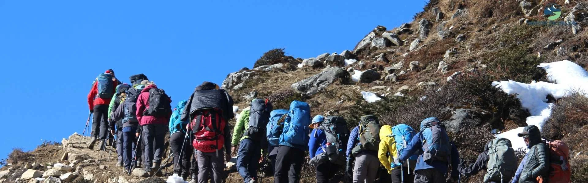
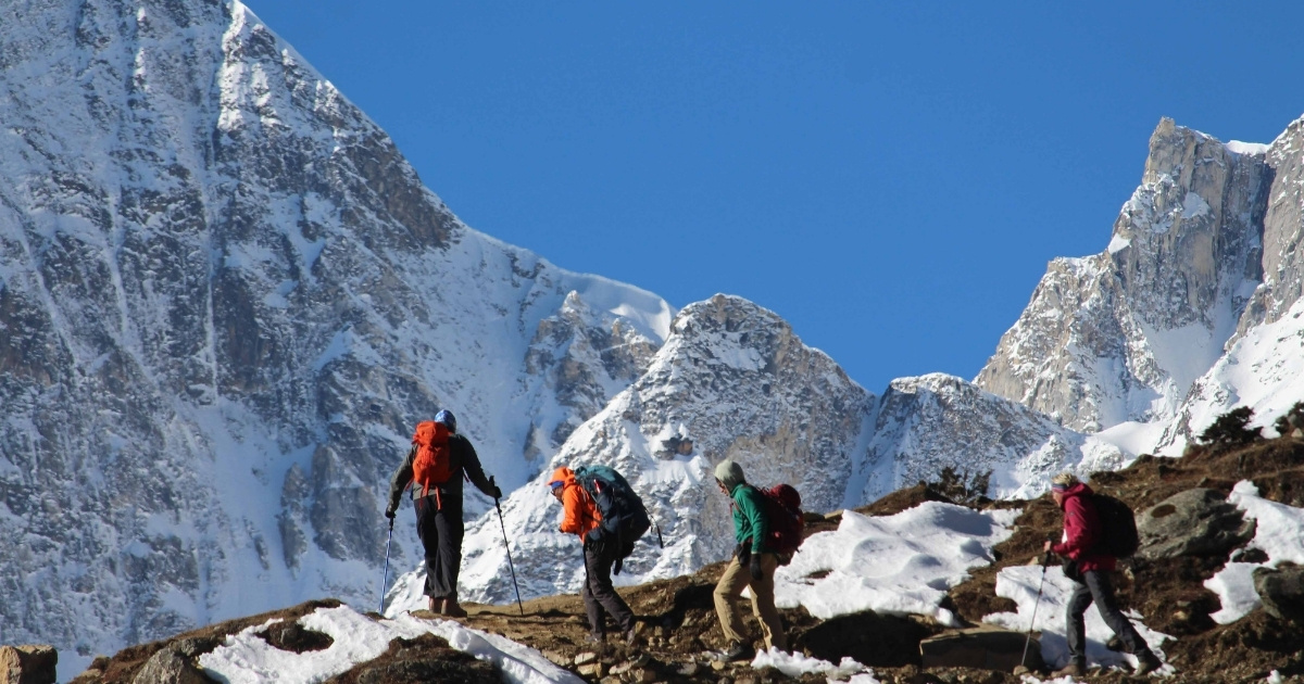
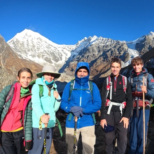
The Manaslu Circuit Trek is a teahouse trek of about 177 km around Mount Manaslu (8,163 m), the eighth-highest mountain in the world. It follows the Budhi Gandaki River, crosses the Larkya La pass at 5,106 m, and runs from Arughat to Besisahar over two to three weeks.
This trek is in a restricted area, so trekkers must follow special rules, including travel permits, group requirements, and restrictions on solo trekking. The trail offers beautiful mountain views and a chance to experience the natural beauty of Nepal and local culture.
Trekkers must pay for restricted-area permits based on the number of days they spend in the region. During the monsoon season, heavy rain and landslides can make the route dangerous, as seen twice this autumn (2026). If you plan the trek with that in mind, you can still do it safely and keep your costs under control.
What is the Manaslu Circuit Trek
The Manaslu Circuit is a remote trek around the eighth-highest mountain in the world (8,163 m). Located in the Gorkha District of Nepal near the Tibetan border, this trail traverses from subtropical river basins at 870 m up to the high alpine pass of Larke La (5,106 m).
Picture at Shyala
Unlike routes with vehicle roads on the main trail, the Manaslu Circuit is unpaved, largely from Machha Khola to Dharapani. High suspension bridges, old trading paths, and valley villages with Tibetan culture make this trek special.
You need three permits: Manaslu Restricted Area Permit (RAP), Manaslu Conservation Area Project (MCAP) Permit, and Annapurna Conservation Area Project (ACAP) Permit. Because the trail passes sensitive border areas near Tibet and protected conservation zones, government checkpoints review documents at multiple entry and exit posts.
The primary document is the Manaslu Restricted Area Permit (RAP). Issued exclusively by the Department of Immigration in Kathmandu. Independent hikers cannot obtain this permit directly at checkpoints.
Permit Type
Autumn Season (Sept – Nov)
Spring / Winter / Summer (Dec – Aug)
Issuing Authority
Manaslu RAP (First 7 Days)
USD 100 per person
USD 75 per person
Department of Immigration
Manaslu RAP (Additional Days)
USD 15 per person/day
USD 10 per person/day
Department of Immigration
MCAP Entry Permit
NPR 3,000 (~USD 23)
NPR 3,000 (~USD 20)
National Trust for Nature Conservation
ACAP Entry Permit
NPR 3,000 (~USD 20)
NPR 3,000 (~USD 20)
National Trust for Nature Conservation
How much does the trek cost
The total cost of the Manaslu Circuit varies based on group size, duration, transport preferences, and guide fees. On average, a standard 14-day trek costs between USD 945 and 1,249 per person.
morning view from samagaon
Fixed administrative costs like permits remain non-negotiable, while daily variable expenses depend on altitude. As elevation increases, transport costs for carrying supplies rise, raising prices for food, hot showers, and electricity.
Expense Category
Estimated Cost (USD)
Mandatory Permits (RAP + MCAP + ACAP)
150 – 200
Licensed Guide Fee
30 – 40 per day
Porter Fee (Optional but Recommended)
20 – 28 per day
Accommodation (Tea Houses)
5 – 10 per night
Daily Meals & Water
25 – 40 per day
Ground Transport (Kathmandu to Trailhead)
15 (Local Bus) / 150–200 (Private 4WD)
Travel Insurance
100 – 200
What is the best season to trek Manaslu
The Manaslu Circuit Trek has four different seasons. Autumn (September to November) is the best time to trek, with clear skies, consistent weather, and temperatures of 15°C to 20°C in lower areas, while spring (March to May) also offers good conditions, warmer days, blooming rhododendrons, and clearer mornings.
Winter (December to February) brings extreme cold and heavy snow, closing the Larke La Pass (5,106 m), while Monsoon (June to August) brings heavy rain, landslides, and leeches, making the trails more difficult and risky. The table below provides a clear overview of these seasons.
Season
Avg Temp (Samagaun 3,530 m)
Larke Pass Status
Trail Conditions
Autumn (Sept – Nov)
-5°C to 12°C
Open / Optimal
Dry, solid ground, clear scenery
Spring (Mar – May)
-2°C to 15°C
Open / Good
Melting snow on pass, stable lower trails
Winter (Dec – Feb)
-15°C to 2°C
Closed
Heavy snow, slippery ice, and freezing winds
Monsoon (Jun – Aug)
8°C to 22°C
High Danger
Muddy, active landslides, low visibility
Find the Right Manaslu Itinerary for You
Whether you have 12 days or more time to explore, choose a Manaslu Circuit itinerary that matches your fitness, schedule, budget, and preferred trekking pace.
The journey starts with your arrival at Tribhuvan International Airport and a short transfer to your hotel in Kathmandu. The next day, a long drive west and then north beside the Budhi Gandaki River brings you to Soti Khola, where the trek begins. From there, the trail follows the river and over many suspension bridges, stopping at Machha Khola and then Jagat, the entry checkpoint of the Manaslu Conservation Area, where permits are checked. The path continues through Deng and climbs to Namrung, where the geography and culture turn Tibetan. It then leads on to Samagaun, the largest village in the upper valley, where a full day of rest helps you adjust to the thin air.
way to manaslu
After Samagaun, the trek moves to Samdo and then to Larkya Phedi (Dharamshala), a stopover below the pass. Starting well before dawn, you cross Larkya Pass (5,106 m), the highest point of the trip, and then descend to the high valley of Bhimthang. From there, the trail drops through forests and farmland to the Gurung village of Tilije, where the trek ends. A long drive back to Kathmandu follows, and on the final day you are transferred to the airport for your departure home.
Your ideal itinerary doesn't have to follow a fixed schedule. Adjust the duration, pace, acclimatization, and trekking experience around your available time and preferences.
The Manaslu Circuit is a challenging trek, but you do not need any climbing skills or special gear to complete it. What it asks for is stamina. Over 14 days, you will walk about 177 km, and some days stretch to 10 hours on your feet. The trail takes you over rocks, up steep stone steps, and narrow paths into cliffsides. Near the high pass, you will also cross slippery gravel and icy patches, so careful footing matters as much as strong legs.
The biggest test is the thin air. You will sleep above 3,000 m for many nights, and the climb from Samagaun to Larke Pass (5,106 m) is the hardest part of all. Some trekkers feel headaches, tiredness, or sickness at this height, so the key is to go slowly and never rush. The rest days at Samagaun are built in to give your body time to adjust. Dr. Buddha Basnyat of the Himalayan Rescue Association explains that slow climbing and planned rest days can cut the risk of serious altitude illness by more than seventy-five percent. It is also wise to carry travel insurance that covers emergency helicopter rescue up to 5,500 meters, with no limits on altitude.
What gear should you pack
Packing requires balancing protection against sub-zero conditions on Larke Pass with light loads for daily carrying. Porters generally carry up to 18 kg per trekker, while daypacks stay under 8 kg.
Layering System
Base Layer: 2x Synthetic or Merino wool long-sleeve thermal tops and bottoms.
Insulation Layer: 1x Fleece jacket or heavy wool mid-layer.
Down Jacket: 1x Heavy down coat rated for -15°C temperatures.
Footwear and Gear
Boots: High-ankle trekking boots (broken in beforehand).
Socks: 4 pairs of Merino wool trekking socks.
Microspikes: Lightweight traction spikes for ice sections on Larke Pass.
Trekking Poles: Adjustable aluminum or carbon fiber poles to reduce knee pressure.
Sleeping and Electronics
Sleeping Bag: Rated down to -15°C to -20°C
Headlamp: Minimum 300 lumens with extra rechargeable batteries
Power Bank: 20,000 mAh capacity for charging devices
Want a Manaslu Itinerary Made for You?
Tell us your available days, trekking experience, fitness level, and budget, and our trekking team can help you choose or customize the right Manaslu Circuit itinerary.
Foreign trekkers must hire a government-registered guide to trek in the Manaslu Restricted Area. Choosing a licensed local trekking agency helps you get the required permits, follow local rules, and stay safe throughout the trek. Before your trip, plan your travel dates, budget, and equipment. This Manaslu Circuit Trek Guide can help you prepare. When you are ready, contact Nature Excursion to arrange a qualified guide, permits, and transportation from Kathmandu.
FAQs
Is it safe to drink the local tap water on the Manaslu route if I filter it?
Yes, but filtering alone may not kill all viruses. It is safest to use a high-quality water purifier or add chlorine dioxide tablets to your filtered water. Avoid buying bottled water to protect the fragile mountain environment.
Are there laundry services available on the trail?
No professional laundry services exist past the main entry towns. You will need to hand-wash your clothes in water buckets provided by teahouses. Keep in mind that heavy clothes take days to dry in the cold air.
What happens if the Larkya La Pass is blocked by snow?
You will have to turn back and walk down the same way. If heavy snow closes the pass, there is no alternative route to the other side; we'll rewrite your itinerary for the descent.
Is internet access available throughout the entire trek?
No, internet connectivity is unstable and completely absent in some areas. Local SIM cards lose signal past Jagat, and teahouse Wi-Fi relies on satellite connections that fail during cloudy weather or high-use hours.
What kind of food is served besides traditional Dal Bhat?
Teahouses serve normal international dishes like pancakes, pasta, and fried potatoes. The menus are different, but sticking to fresh vegetarian food is highly recommended. Meat is unsafe because it is carried up without refrigeration.
Are hot showers available at every night stop?
Yes, but they cost extra and become rarer at higher altitudes. Lower villages offer gas-heated showers, while high camps provide buckets of hot water. Expect to pay between three and six dollars per shower.
Written by
Karan GurungExecutive Director
Hello, I’m Karan Gurung, a passionate mountaineer from Nepal with over 15 years of experience exploring the majestic peaks of the Himalayas. I grew up surrounded by towering mountains; my love for adventure and the thrill of high-altitude trekking have shaped my life to the next level. For me, the mountains are more than just a place to trek, and I believe they are a source of inspiration, a connection to nature, and a way of relaxing your mind and soul with peace. I’m always here to share my experiences, travel tips, and stories from my adventures to help others appreciate the beauty of the Himalayas in Nepal through articles and blogs. Whether you're an experienced trekker or someone new to the mountains, I’m here to guide and inspire you for your first or next adventure in Nepal!
The total distance of the Manaslu Circuit Trek is approximately 177 kilometers (110 miles). But the actual walking distance varies. Your total kilomet...
Walking hand in hand with your family while surrounded by snow-covered peaks, peaceful forests, and mountain villages is definitely a lifetime memory...
On one side, a journey lies in the region that leads to restricted areas and feels like walking through an ancient route. On the other side, there is...