Manaslu Circuit Trek – 12 Days

Quick Facts
  • Trip Duration12 Days
  • Destination Nepal
  • Difficulty Level Strenuous
  • Maximum Altitude Larkya La Pass (5,106 m)
  • Activity Trek
  • Starts/Ends Kathmandu / Kathmandu
  • Group Size 1 - 16
  • Transportation Overland
  • Best Season Spring (March to May) & Autumn (September to November)
  • Accommodation Hotel + Teahouse/Lodge
  • Avg. hours of walk/day 6 to 8 hours
  • Comfort Basic + Comfort
  • Interest option Wildlife, nature, culture, photography, adventure, etc.

Trail Psychology

How You Feel During the Trek

Anticipation → Resilience → Focus → Bravery → Achievement → Peace

  • Anticipation: The drive to Machha Khola moves from low hills into deep river valleys. This transition from the city to the wild riverbanks sparks a deep sense of wonder.
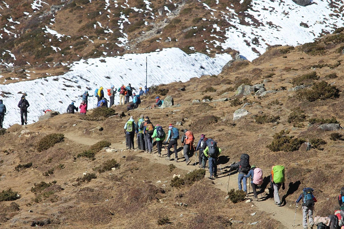
  • Resilience: The trail follows the Budhi Gandaki River through narrow stone canyons. These long days in the heat build your physical stamina and prepare your body for the high mountains ahead.
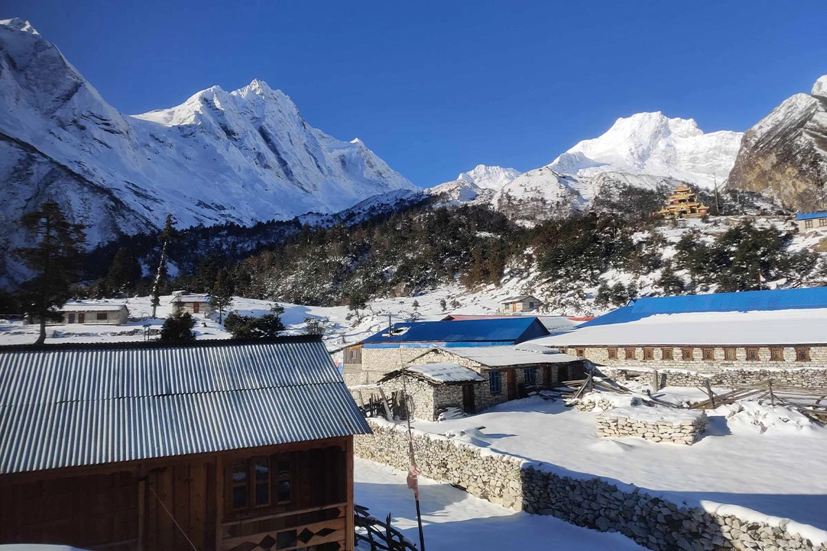
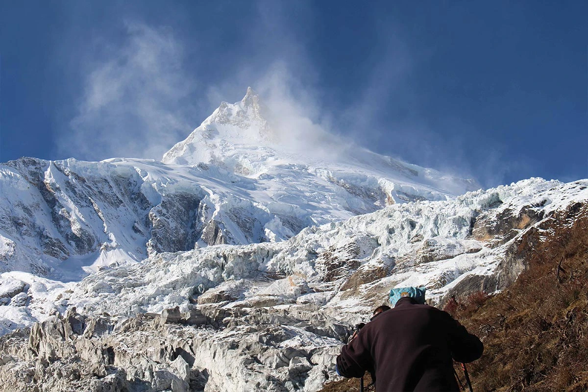
  • Focus: As the air cools in the high villages of Samagaun and Samdo, the landscape turns to tundra. You spend hours watching the massive slopes of Manaslu.
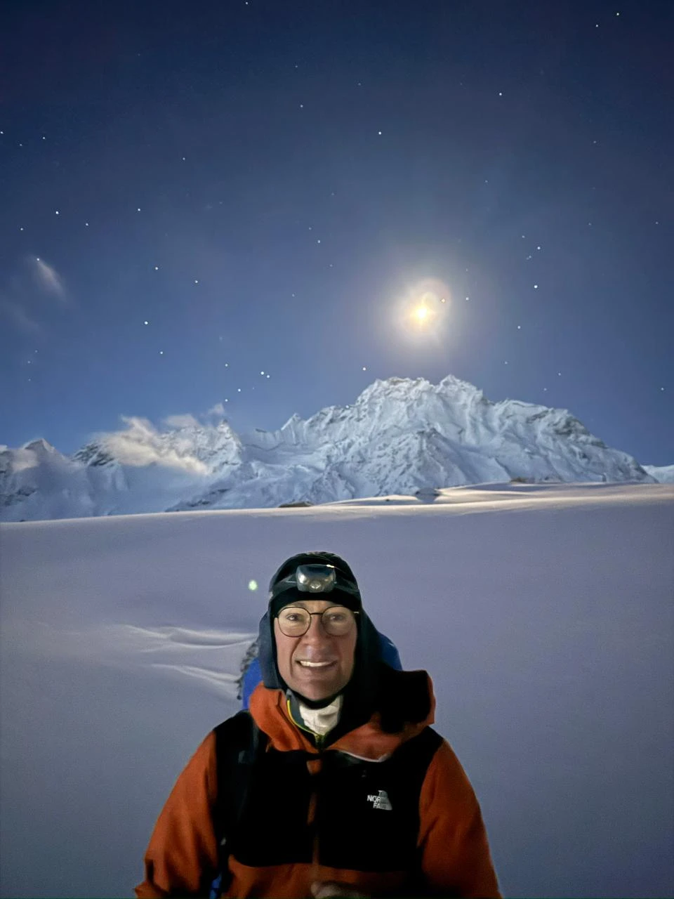
  • Bravery: Crossing Larkya La pass starts in the frozen dark at 3:00 AM. You must walk across loose rock and navigate a long, icy descent into the Bhimtang valley.
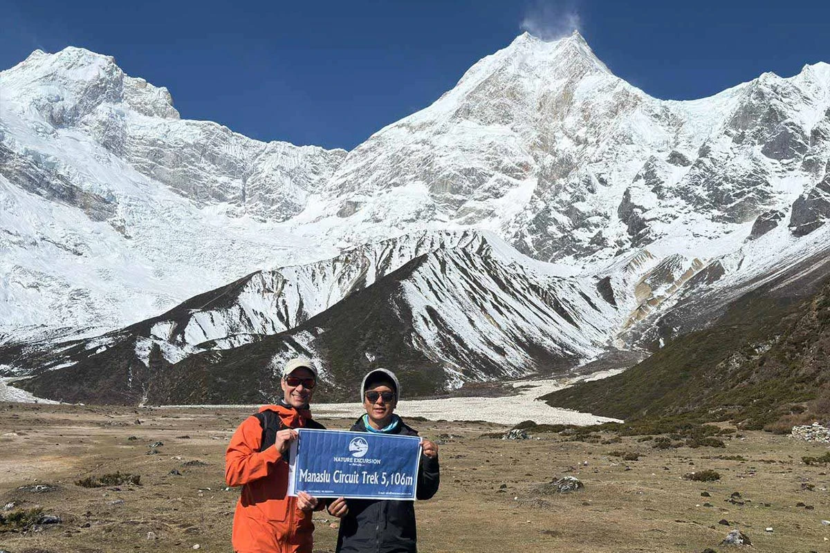
  • Achievement: Standing at the top of the pass at 5,106 m offers views of the Annapurna range and Himlung Himal. You feel you are at the top of the world.
  • Peace: The final walk through the rhododendron forests toward Dharapani is quiet and easy. You listen to the sound of waterfalls and look back at the peaks behind, from which you came.

Emotions You May Feel

  • Anticipation
  • Stamina
  • Humility
  • Grit
  • Euphoria
  • Relief

How Does Your Mind Change?

  • Start: You begin with anticipation and a curiosity about the remote culture.
  • Middle: You develop grit as the terrain becomes more rugged.
  • At the Pass: You feel a sharp sense of bravery and mental clarity.
  • After the Pass: Your experience leads to a state of euphoria.
  • Return: Relief and peace settle in as you reach the lower forests.
  • Confidence Level: You gain a sense of quiet strength and a deeper connection to the wild.

Connection & Solitude Ratio

  • Connection Level: 40% (Samagaun, Samdo, Bimthang)
  • Solitude Level: 60% (River canyons, Larkya Phedi, Larkya La Pass, Forest trails)

Why You'll Love This Trip

  • Cross the Larkya La Pass, a high-altitude mountain pass sitting at 5,106 m.
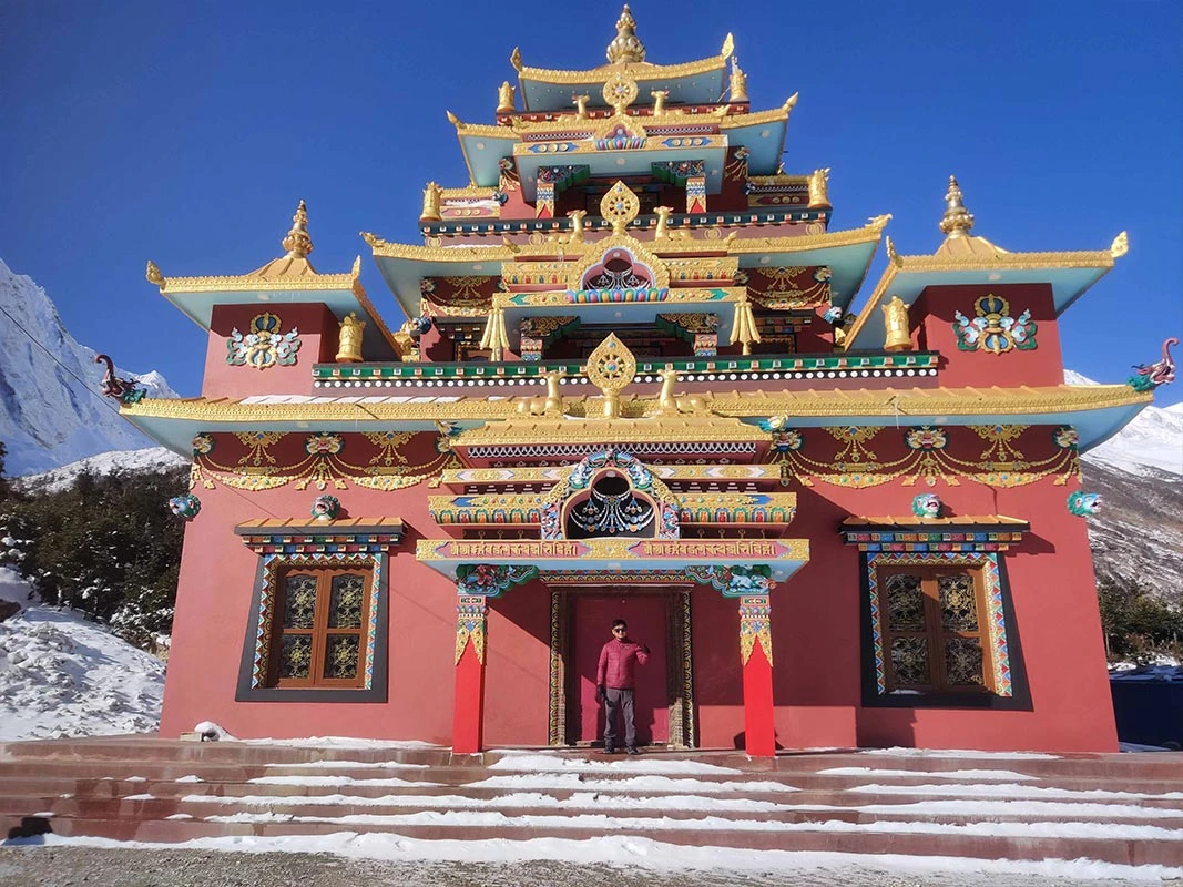
  • Visit the ancient Ribung Gompa and Pungyen Gompa to see local Buddhist architecture.
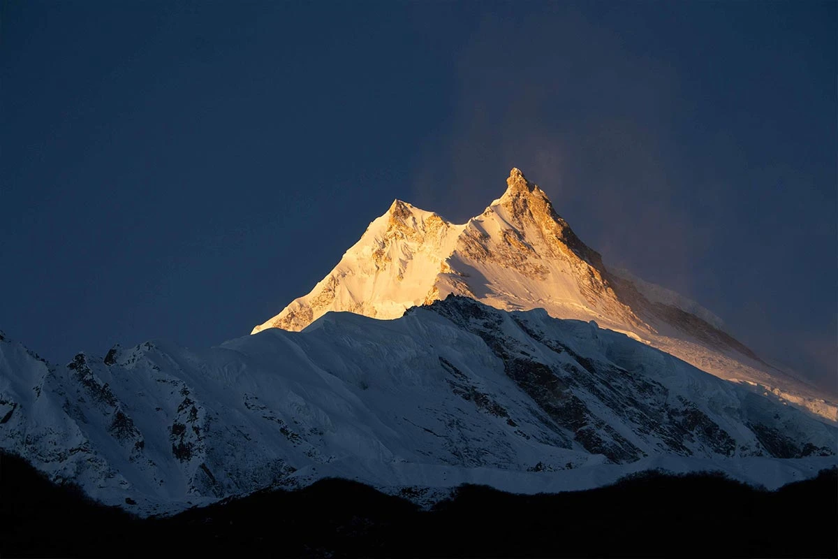
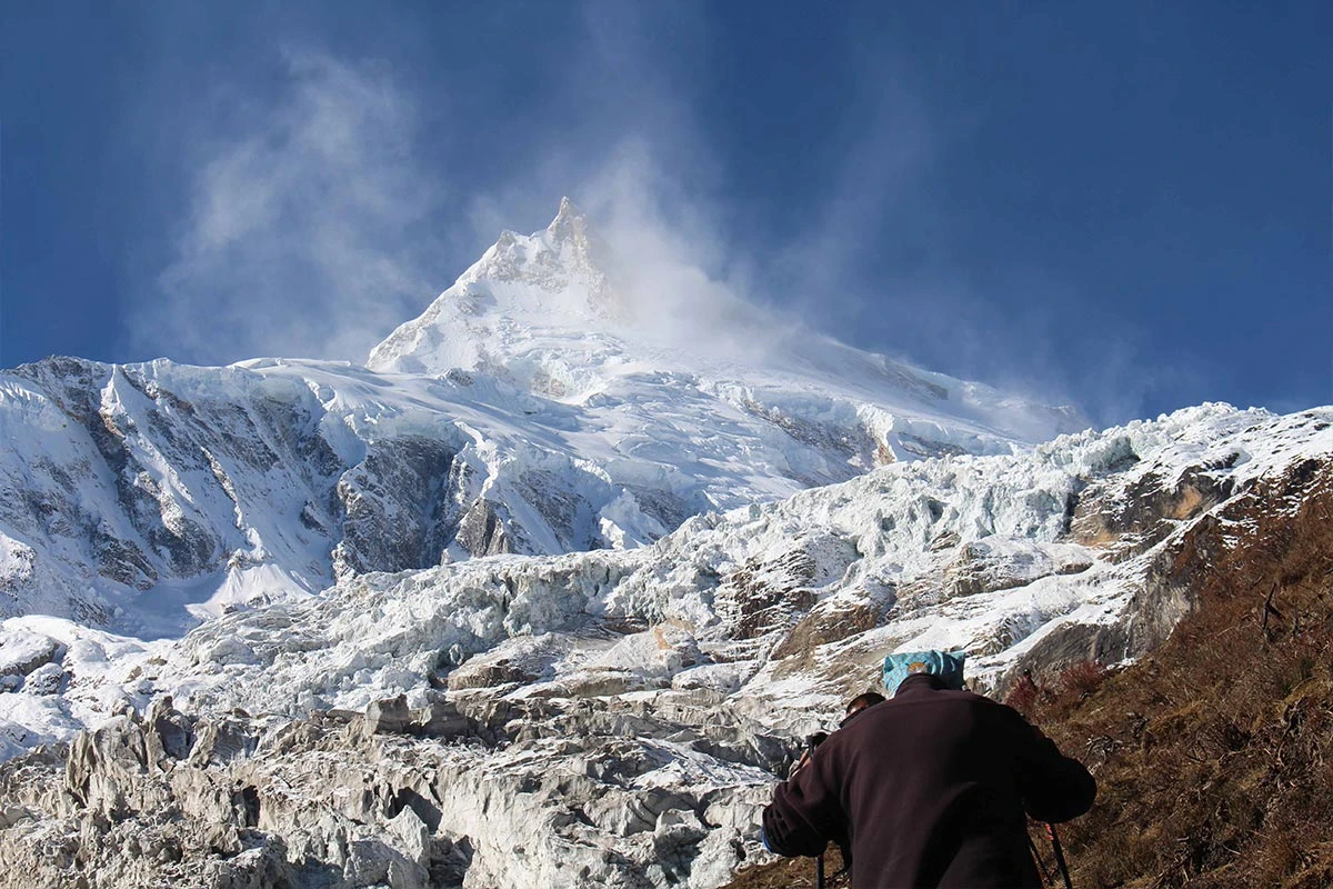
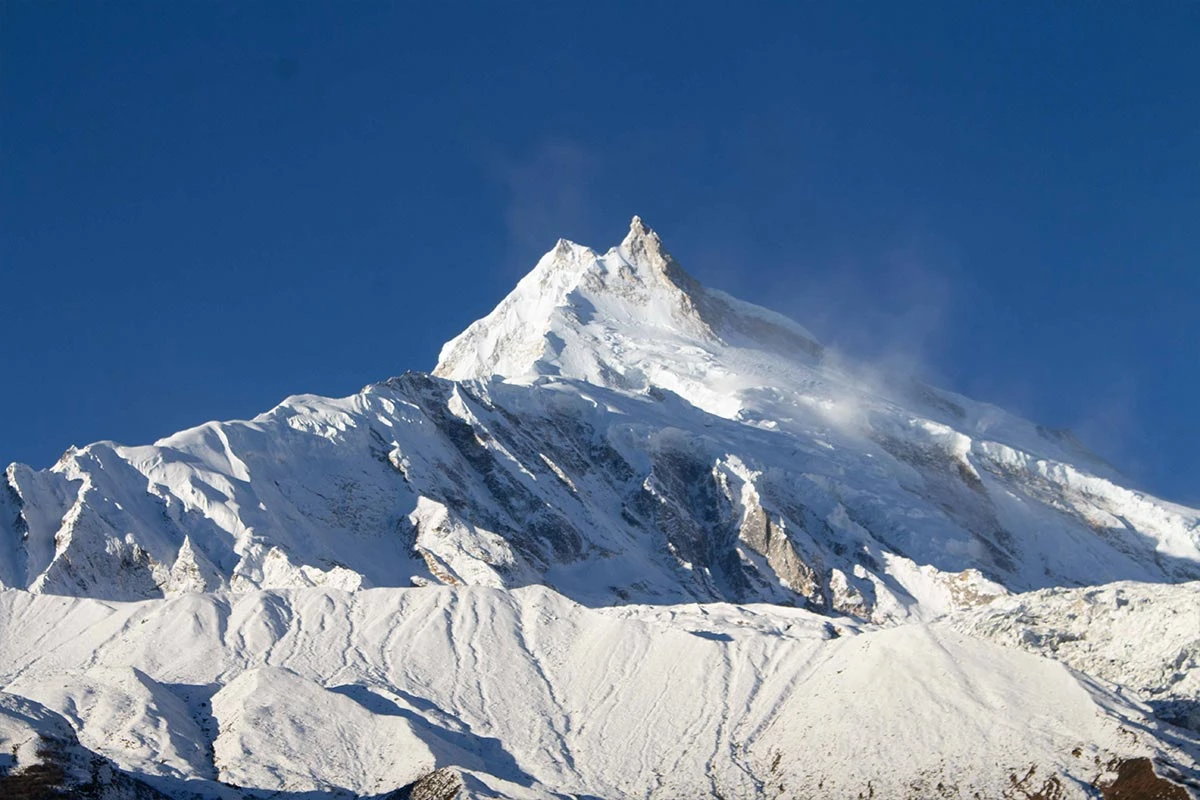
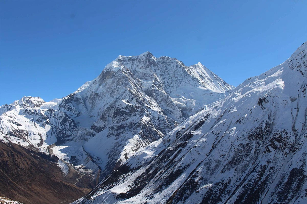
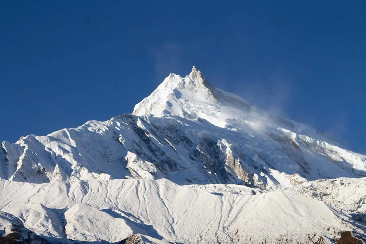
  • View the summit of Mount Manaslu, the eighth-highest mountain in the world, at 8,163 m.
  • Walk through a diverse landscape featuring massive waterfalls and deep river gorges.
  • Explore the glacial waters of Birendra Lake near the village of Samagaun at 3,691 m.
  • Observe rare wildlife, including the Himalayan Tahr and the elusive Snow Leopard, within the conservation area.
  • Follow a trail lined with traditional stone chortens, mani walls, and spinning prayer wheels.
  • Experience the authentic Tibetan-influenced culture and daily life of the Nupri people.

Manaslu Circuit Trek Overview

"The walk itself is the goal, not just the destination." This reflection from a past Nature Excursion guest captures the true essence of the Manaslu Circuit. 

The Manaslu Circuit trek in Nepal circles the eighth-highest peak in the world, Manaslu, which stands at 8,163 m. This trek route is a restricted-area trek, like the Tsum Valley trek, following the ancient salt-trading path along the Budhi Gandaki River. You move through a transition from lush subtropical forests into the high altitude Nupri region. The culture changes as you walk, moving from Hindu villages in the lowlands to Tibetan Buddhist settlements near the Tibetan border.

You must prepare for a physically demanding Manaslu Circuit trek that includes crossing the Larkya La pass at 5,106 m. The terrain is rugged, with steep stone stairs and narrow cliffside paths that require steady footing. You stay in local teahouses that provide basic mountain lodging and traditional meals, though facilities are simpler than those on the Annapurna Circuit.

You are required by law to trek with a licensed guide. Moreover, since Manaslu is a restricted area, you must have a restricted area permit. This ensures your safety as you navigate remote sections where altitude and weather change quickly.

Flow of Journey

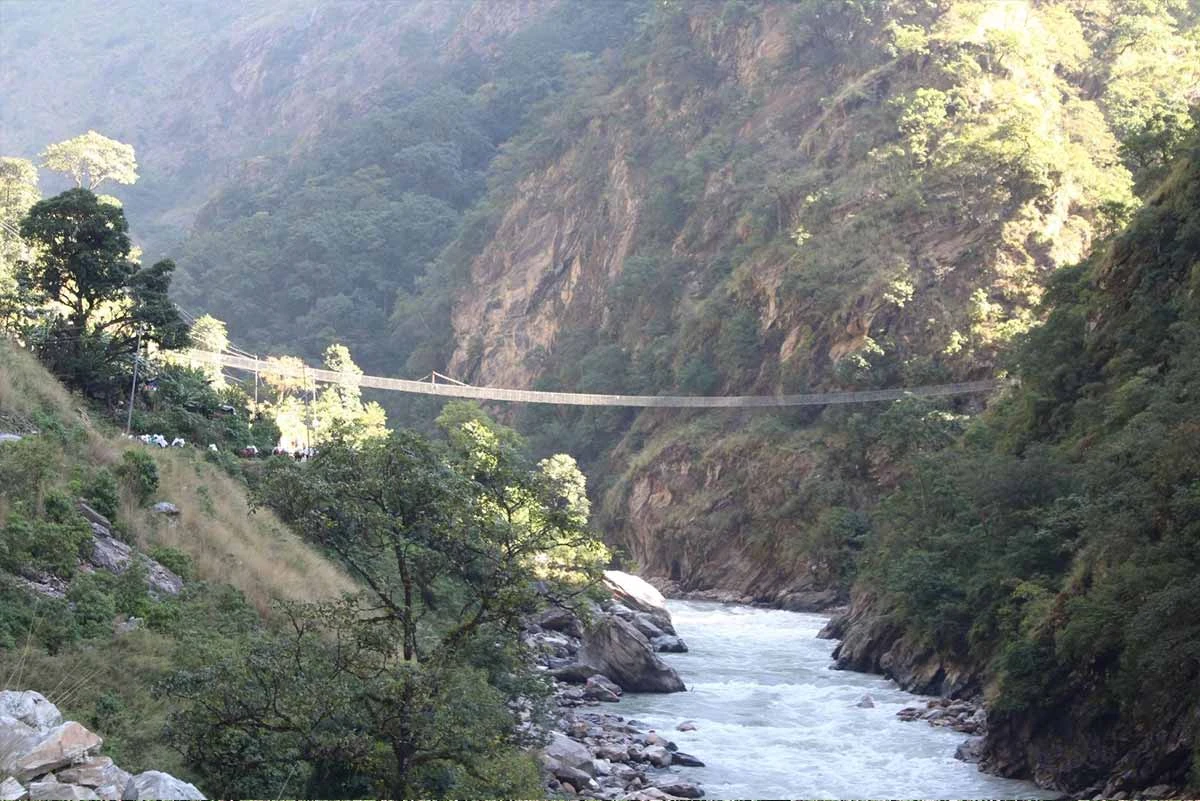
Your 12 days Manaslu Circuit Trek begins in the vibrant streets of Kathmandu, where you receive a full briefing on the trail ahead. A long drive takes you away from the city into the deep river valleys of the Budhi Gandaki. The start of the trek is an immersion into the subtropical lowlands, where you walk through dense forests of oak and rhododendron. You pass massive waterfalls and cross high suspension bridges as you move between Hindu-influenced villages like Jagat and Philim. This section builds your stamina as the air is thick and the hills are lush.

As you ascend toward Namrung and Lho, the landscape shifts dramatically into the high-altitude Nupri region. The narrow canyons open up into wide glacial valleys where you see Mount Manaslu tower over the horizon. You spend days exploring ancient monasteries and Tibetan Buddhist villages like Samagaun and Samdo, where the culture is preserved by the high mountains. The core challenge begins in Dharmasala, where you prepare for the thin air and cold winds at the Larkya La pass. After reaching the summit at 5,106 m, you descend into the pine forests of Bhimtang, completing a loop that transitions from the frozen peaks back down to the warm greenery of Besisahar.

Itinerary

Day1
  • Meals:Lunch and Dinner
  • Accommodation:Teahouse
  • Drive Distance:180 km
  • Drive Duration:10 hours
  • Sleep Elevation:870 m
  • Overnight Place:Machha Khola
  • Day's Difficulty:Gentle

We begin our journey with a long drive from Kathmandu to Machha Khola. This trip takes about 10 hours and covers roughly 180 km of varied terrain. The first part of the ride follows the paved Prithvi Highway along the Trishuli River. We then turn north toward Dhading Besi and Salyantar. As we leave the main highway, the road becomes narrower and winds through lush green hills and small farming villages.

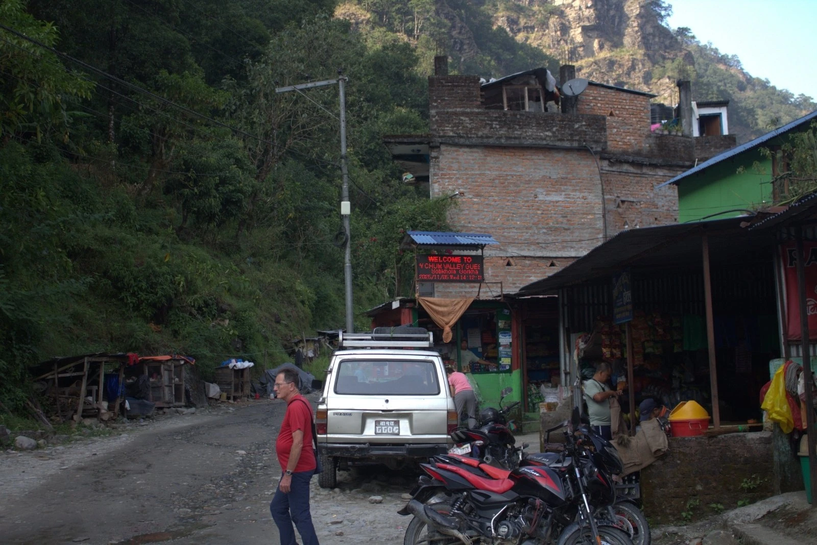
The second half of our drive is more adventurous as the road turns into a rough, gravel track. We follow the bank of the Budhi Gandaki River and pass through the settlements of Arughat and Soti Khola. This section can be bumpy and dusty, but it offers great views of local waterfalls and terraced fields. We eventually arrive at Machha Khola, a small riverside village where we spend our first night in a mountain teahouse.

Included activities:

  • Depart from Kathmandu for a scenic 180 km drive to the mountains.
  • Travel along the Trishuli River via the paved Prithvi Highway.
  • Navigate a rugged gravel track past waterfalls and terraced fields.
  • Arrive at Machha Khola to stay in a traditional mountain teahouse.
Machhi Khola
Sothi Khola
Tranportation
Day2
  • Meals:Breakfast, Lunch, Dinner
  • Accommodation:Teahouse
  • Trek Distance:22 km
  • Trek Duration:7 hours
  • Sleep Elevation:1,410 m
  • Overnight Place:Jagat
  • Day's Difficulty:Moderate

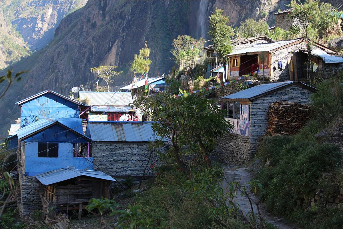
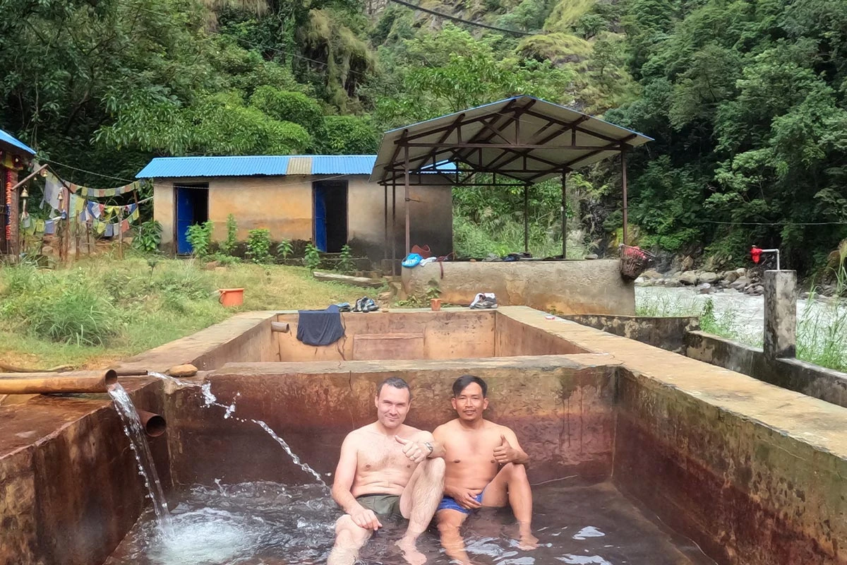
We wake up in Maccha Khola, which is the starting point of the trek. Our first day of walking begins by following the trail along the Budhi Gandaki River. The path has many small ups and downs as we cross several suspension bridges. We pass through Khorlabesi and reach Tato Pani, which is famous for its natural hot springs. The trail stays close to the river valley, and we walk through forests where we might see gray langur monkeys in the trees.

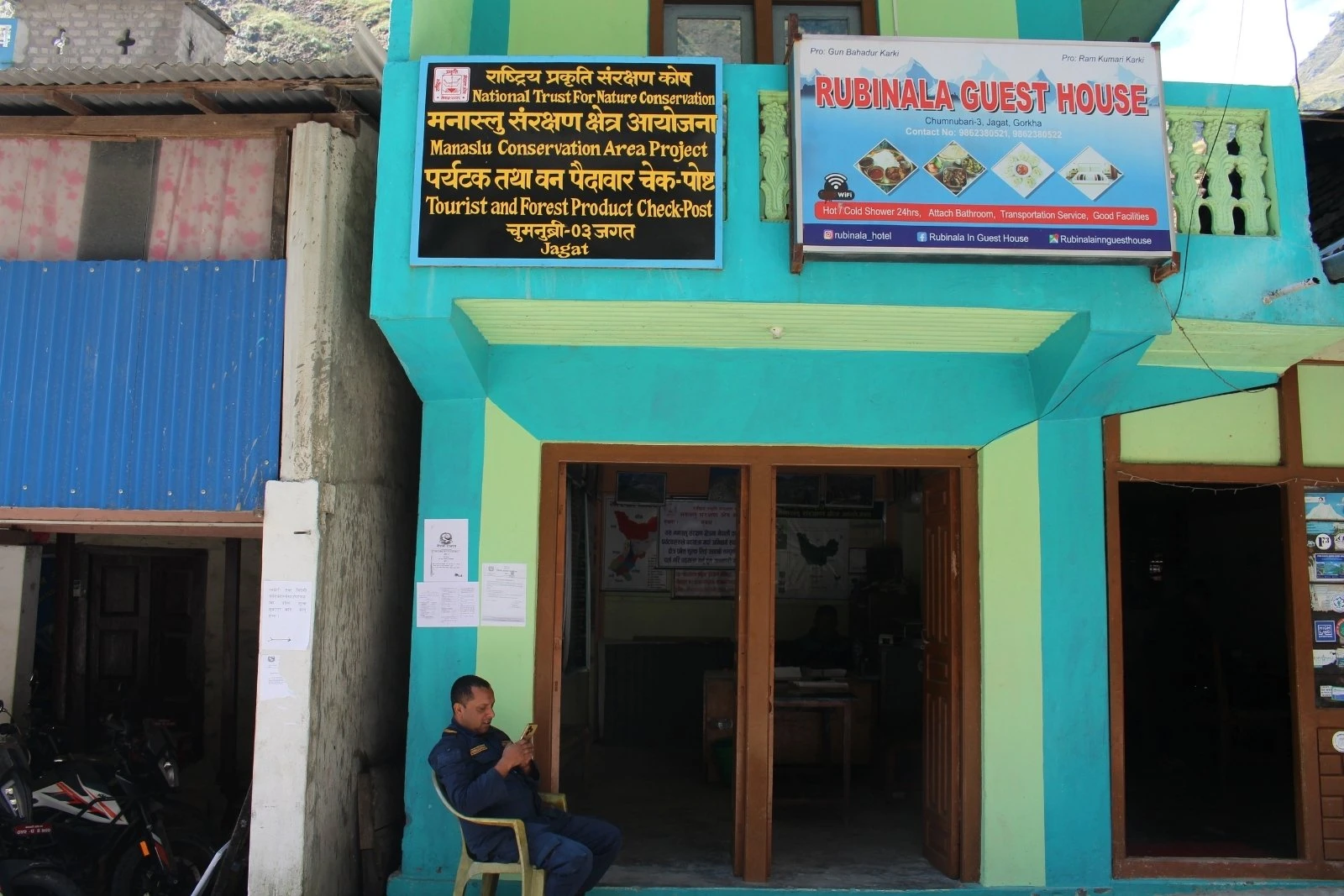
The climb becomes more noticeable as we approach the Dobhan. We cross the Yaru Khola via a long bridge and climb a set of stone stairs to reach the riverbed. After walking across the gravel flats, we make a final ascent to the village of Jagat. This town has a flagstone street and serves as the entry point to the restricted area, where we show our permits at the police checkpoint.

Included activities:

  • Trek along the Budhi Gandaki River while crossing several suspension bridges.
  • Visit the natural hot springs in the village of Tatopani.
  • Spot gray langur monkeys while walking through the lush river forests.
  • Reach Jagat to register trekking permits at the official check post.
Check post at Jagat
Budhi Gandaki River
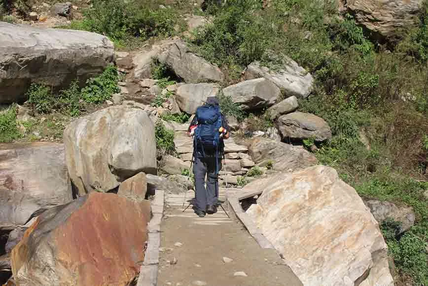
Crossing wooden bridge
Jagat
Day3
  • Meals:Breakfast, Lunch, Dinner
  • Accommodation:Teahouse
  • Trek Distance:20 km
  • Trek Duration:7 hours
  • Sleep Elevation:1,960 m
  • Overnight Place:Deng
  • Day's Difficulty:Moderate

We leave the village of Jagat and continue our walk toward the high mountains. The trail leads us through beautiful forests and past several small waterfalls that drop from the high cliffs. We pass through the village of Salleri and descend toward Sirdibas, where we get our first views of Shringi Himal. After crossing a long suspension bridge over the Budhi Gandaki, we climb a steep path to reach the settlement of Philim.

Our trek continues through narrow canyons and over rocky ridges as the valley becomes more rugged. We walk through a forest of blue pines and rhododendrons as we follow the river upstream. We pass the trail junction that leads to Tsum Valley and head toward the village of Ekle Bhatti. After another climb and a final bridge crossing, we enter the small village of Deng, where the culture begins to shift toward Tibetan traditions.

Included activities:

  • Hike through pine and rhododendron forests past towering cliff waterfalls.
  • View the Shringi Himal peak while descending toward the village of Sirdibas.
  • Climb a steep trail to reach the scenic settlement of Philim.
  • Enter Deng to experience the local shift toward Tibetan Buddhist culture.
Eklabhatti
Philim Village
Ghatta khola
Nyakphedi
Day4
  • Meals:Breakfast, Lunch, Dinner
  • Accommodation:Teahouse
  • Trek Distance:20 km
  • Trek Duration:6 hours
  • Sleep Elevation:2,660 m
  • Overnight Place:Namrung
  • Day's Difficulty:Moderate

We begin our walk with a steep climb through a dense forest of bamboo and rhododendron. The trail crosses the Budhi Gandaki several times as the valley opens up, revealing the high peaks. We pass through the village of Rana and cross a bridge over the Bhi Khola before climbing toward the settlement of Ghap. In this part of the trek, we start to see many Mani walls and small Buddhist shrines, which show the local Tibetan influence.

The path continues through a thick forest where we can often spot diverse birdlife and local wildlife. We follow the river closely and tackle a steady uphill climb through a narrow canyon until the trail levels out near the village of Namrung. This village is famous for its beautiful stone houses and offers our first clear view of the mountains of the Ganesh Himal range. We spend the night here to rest and prepare for the higher elevations ahead.

Included activities:

  • Climb through dense bamboo and rhododendron forests toward Ghap.
  • Observe traditional Mani walls and Buddhist shrines along the mountain trail.
  • Spot diverse local birdlife and wildlife while hiking through narrow canyons.
  • Enjoy views of the Ganesh Himal range from the stone houses of Namrung.
Bihi Village
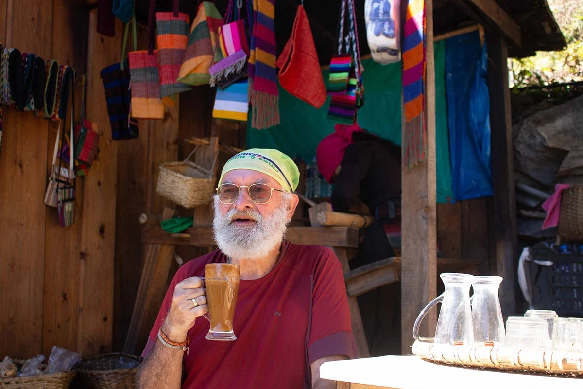
Drinking seabuck thom juice
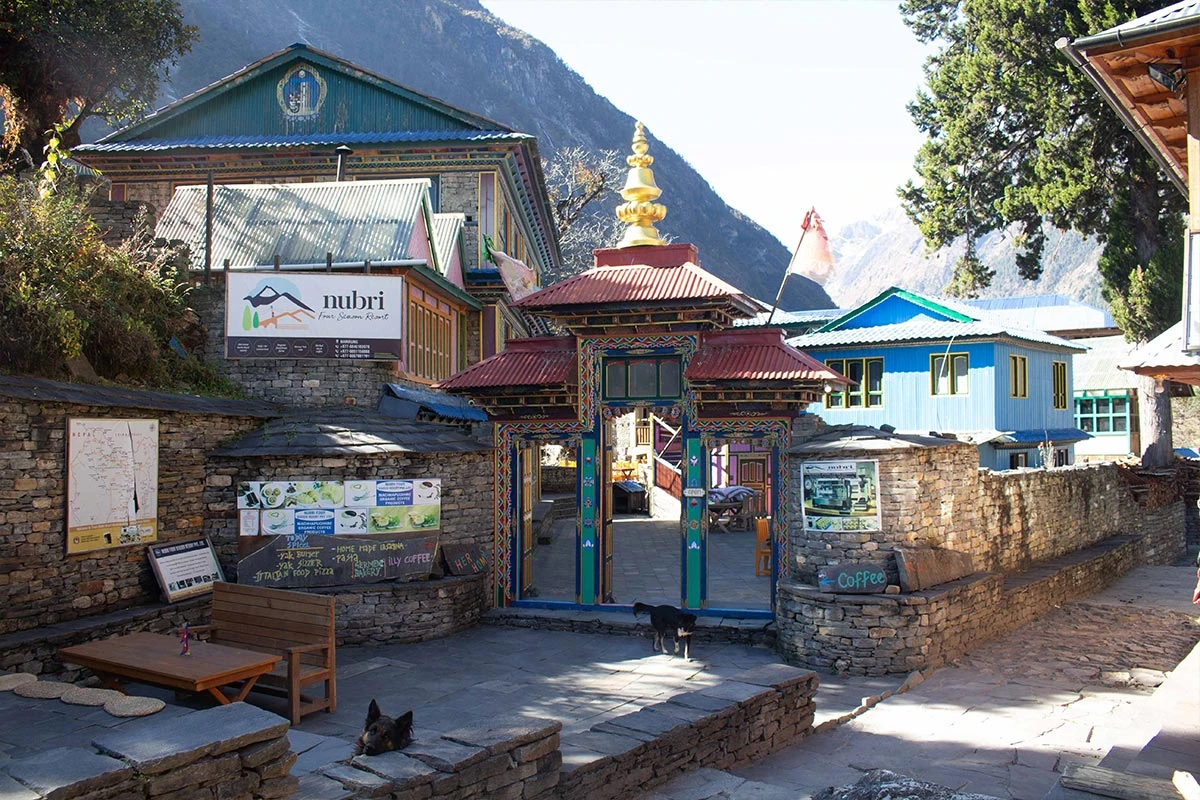
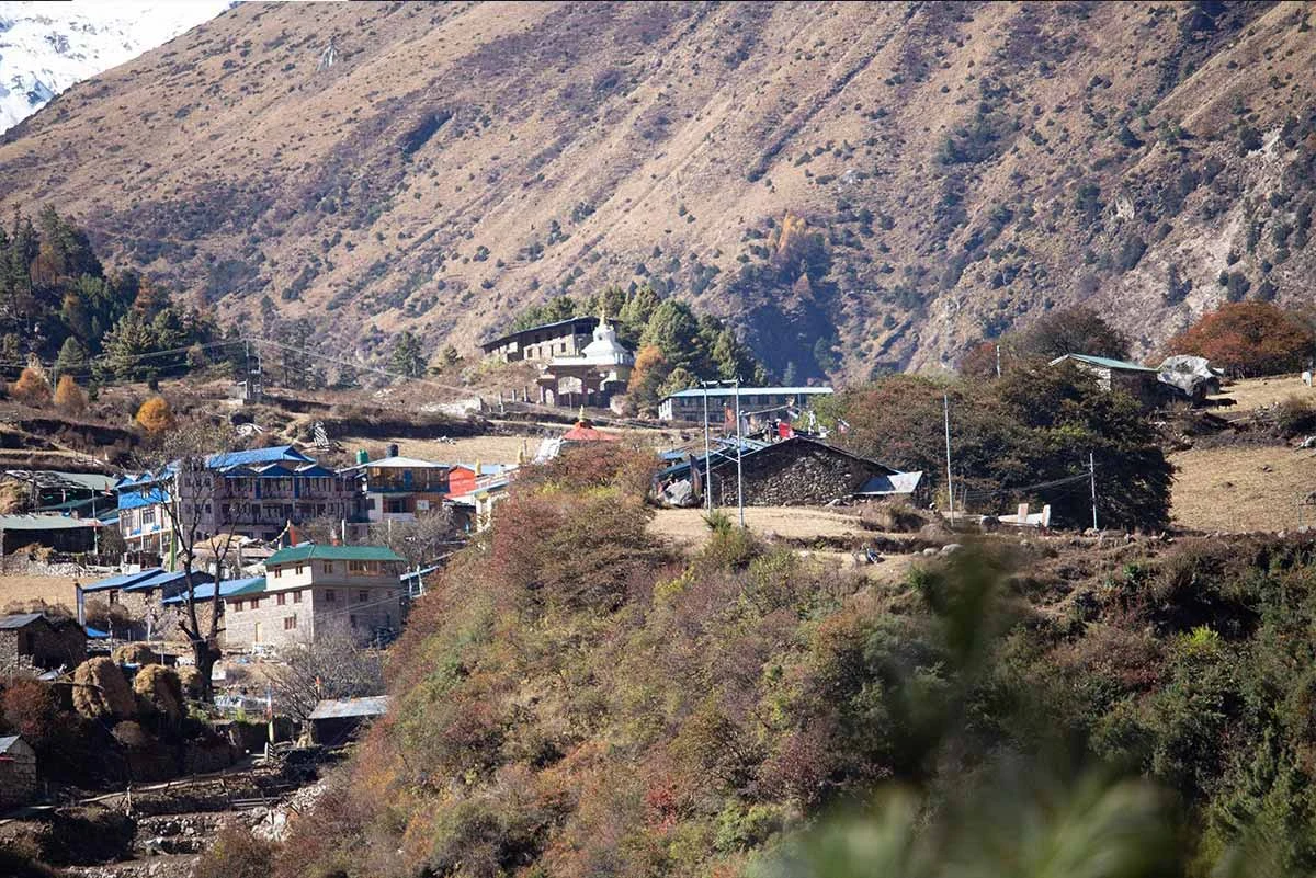
Namrung Village
Langur
Day5
  • Meals:Breakfast, Lunch, Dinner
  • Accommodation:Teahouse
  • Trek Distance:12 km
  • Trek Duration:4 hours
  • Sleep Elevation:3,100 m
  • Overnight Place:Lho
  • Day's Difficulty:Moderate

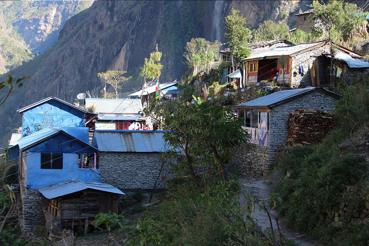
We spend our morning exploring the village of Namrung, where we can see the local lifestyle and traditional stone architecture. Later today, the trail leads us through a forest of fir and rhododendron as we climb toward the upper reaches of the valley. We pass through the village of Lihi, which is known for its terraced fields and ancient chortens. As we walk, the views of the surrounding mountains become more impressive, and we get our first glimpse of the twin peaks of Manaslu.

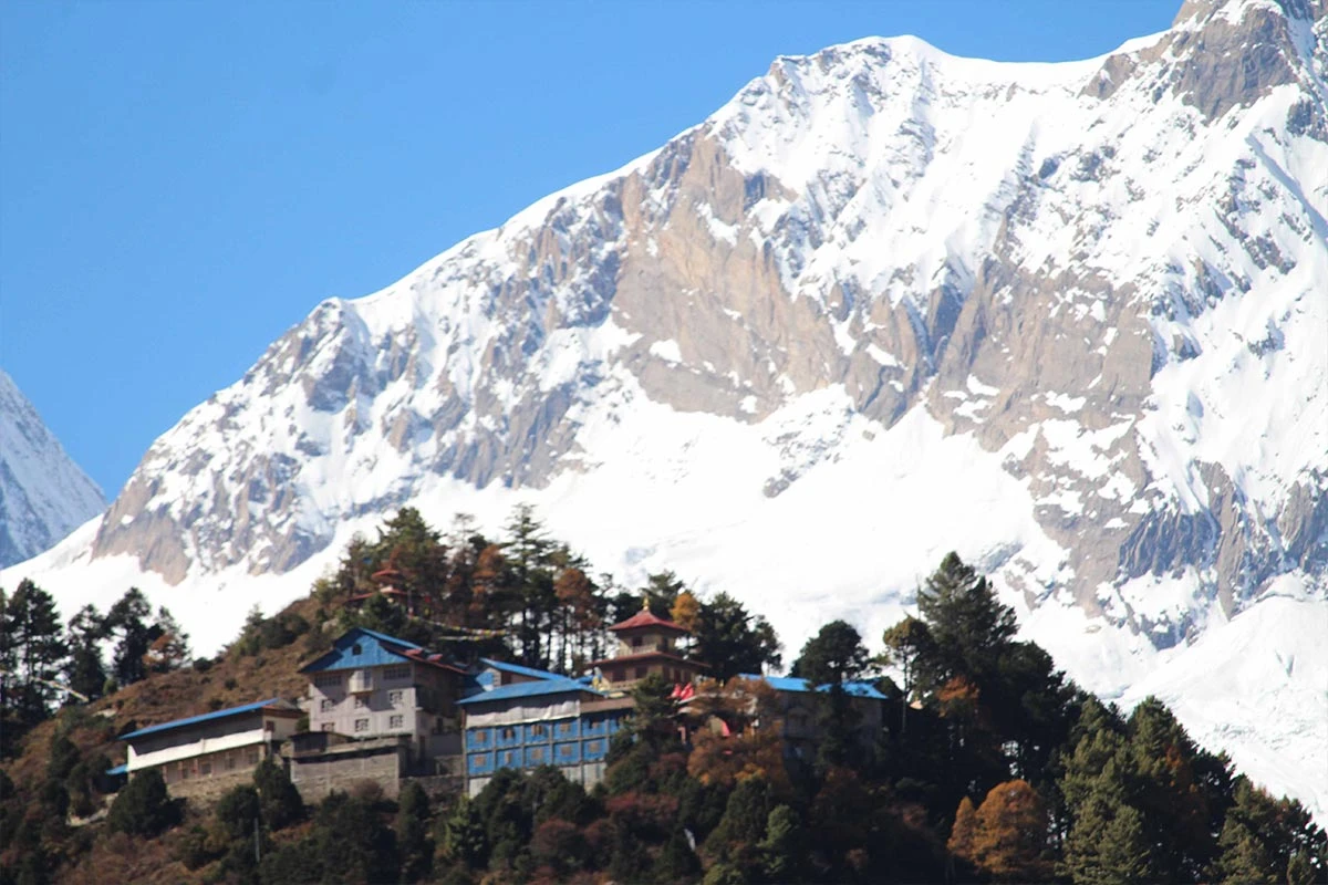
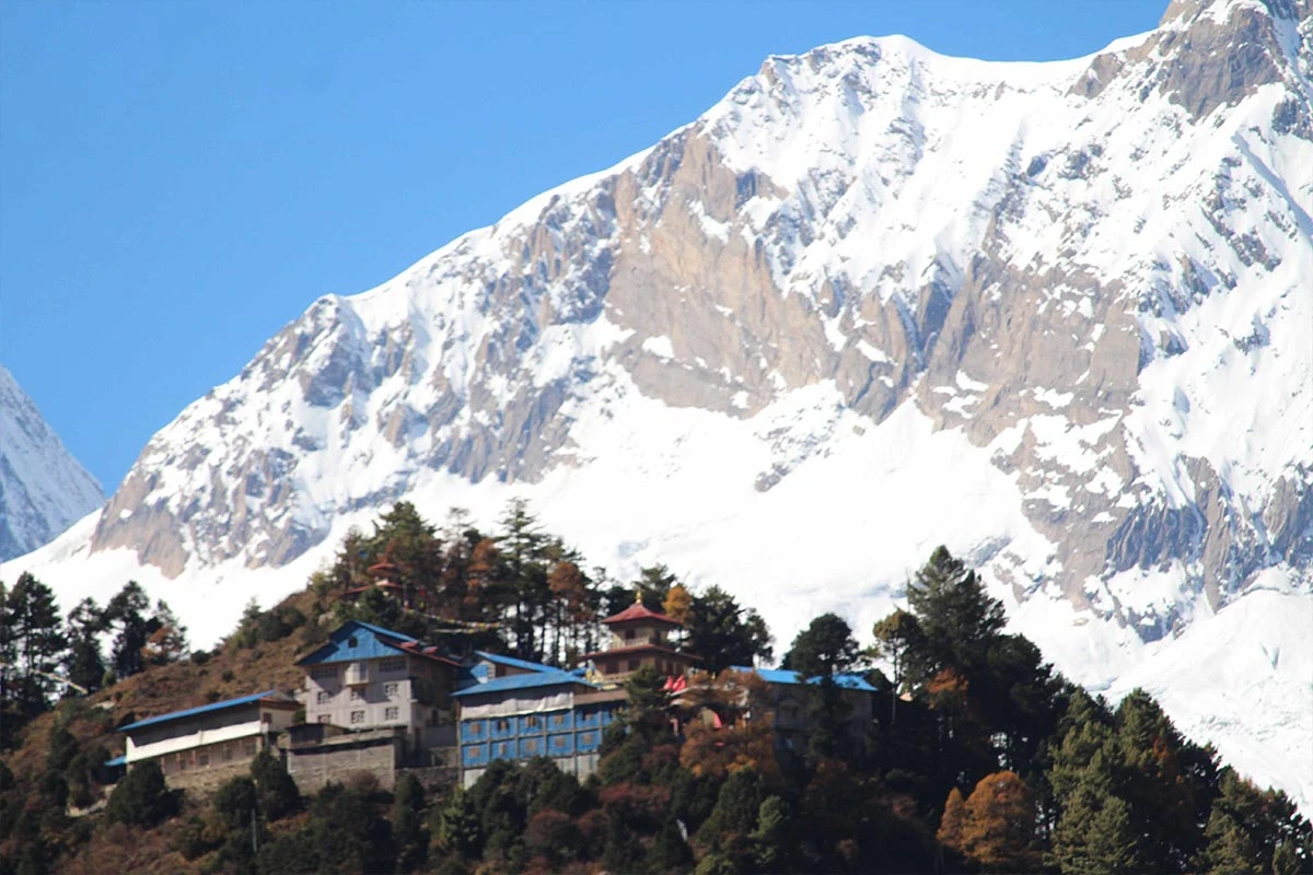
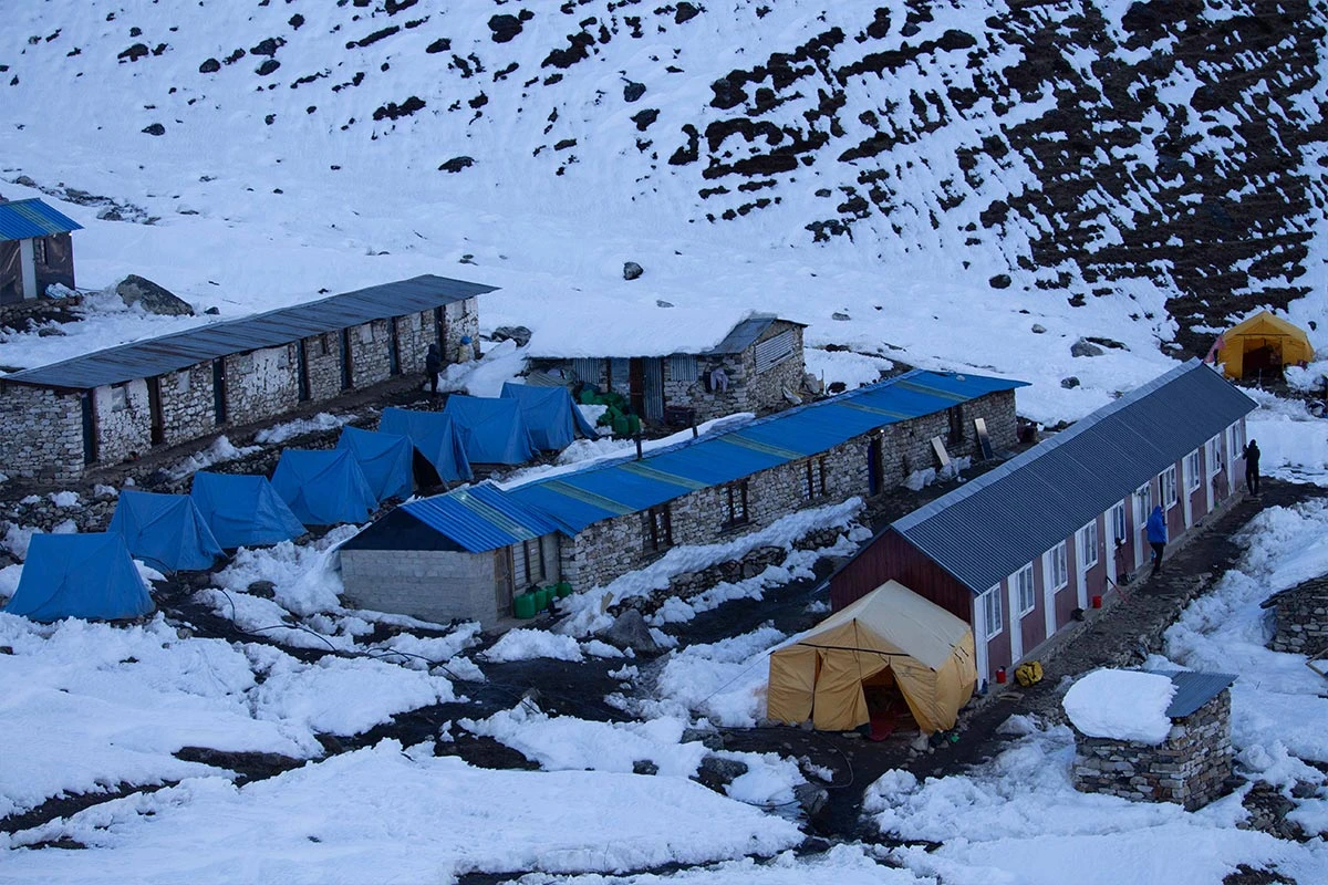
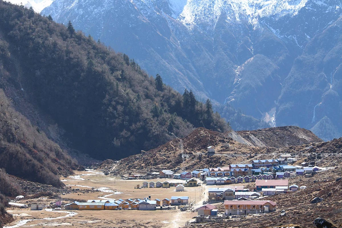
The path continues with a steady ascent as we move toward the settlement of Sho. We walk past several large Mani walls that are carved with Buddhist prayers and symbols. The final stretch of our walk for the day leads to Lho Village, at an elevation of 3,100 m. This village is home to a large and famous monastery called Ribung Gompa. We can visit the monastery in the afternoon to watch the monks and enjoy views of Manaslu, which stands directly above the village.

Included activities:

  • Explore the traditional stone architecture and local lifestyle of Namrung village.
  • Hike past the terraced fields and ancient chortens of Lihi village.
  • Observe the large Mani walls intricately carved with sacred Buddhist prayers.
  • Visit the Ribung Gompa monastery for spectacular views of Mount Manaslu.
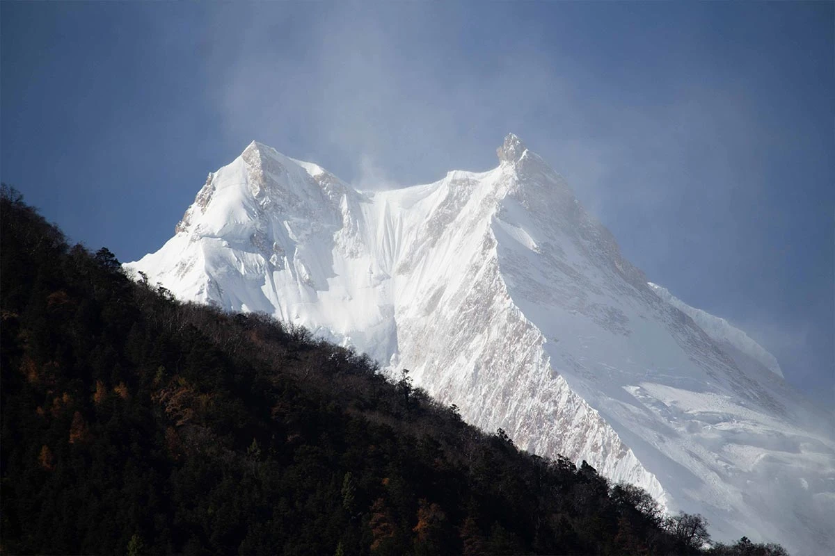
First Manaslu view
Lho Monastery
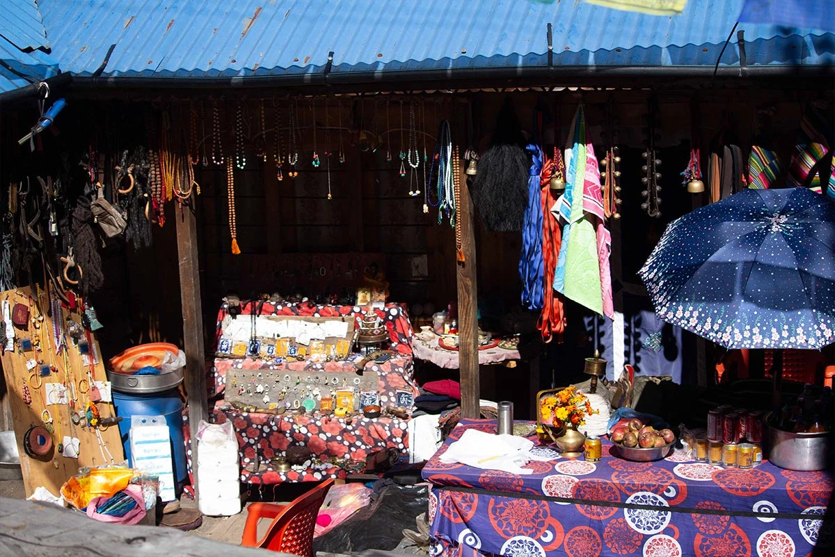
Local Shop
Lho Village
Bhanjam Village
Day6
  • Meals:Breakfast, Lunch, Dinner
  • Accommodation:Teahouse
  • Trek Distance:16 km
  • Trek Duration:6 hours
  • Sleep Elevation:3,530 m
  • Overnight Place:Sama Gaon
  • Day's Difficulty:Moderate

The trek begins with a gentle descent into the forest, then climbs back up toward the village of Shyala. This part of the walk is easy on the legs and offers some of the most impressive views of the entire trek. We are surrounded by high peaks such as Himal Chuli, Ngadi Chuli, and Peak 29, which form a massive wall of ice and rock around us.

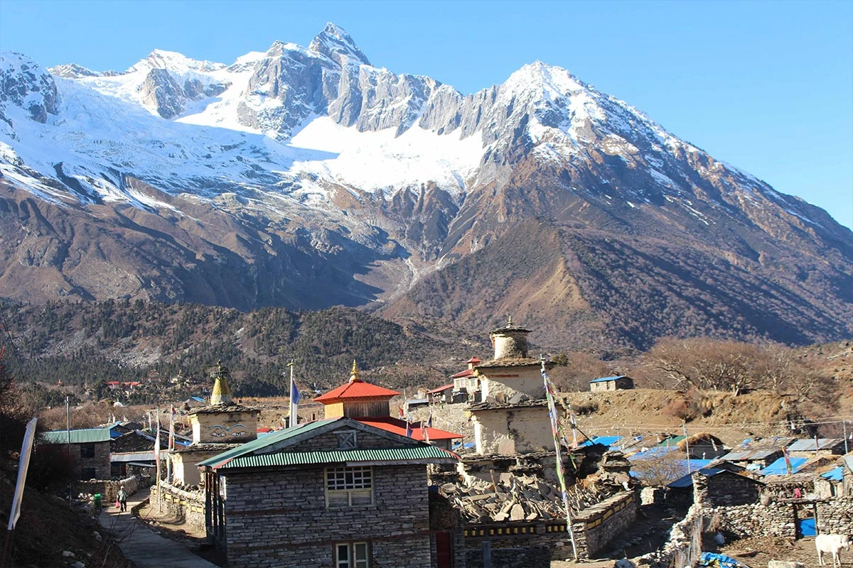
The valley opens into a wide, flat area as we approach Sama Gaon, the region's largest village. We walk past fields where locals grow potatoes and barley and see large herds of yaks grazing on the hillsides. The architecture here is very traditional, with houses built of stone and wood to withstand the cold mountain winds. We settle into our teahouse in the afternoon and use our free time to explore the local monastery or walk to the nearby Pungyen Gompa.

Included activities:

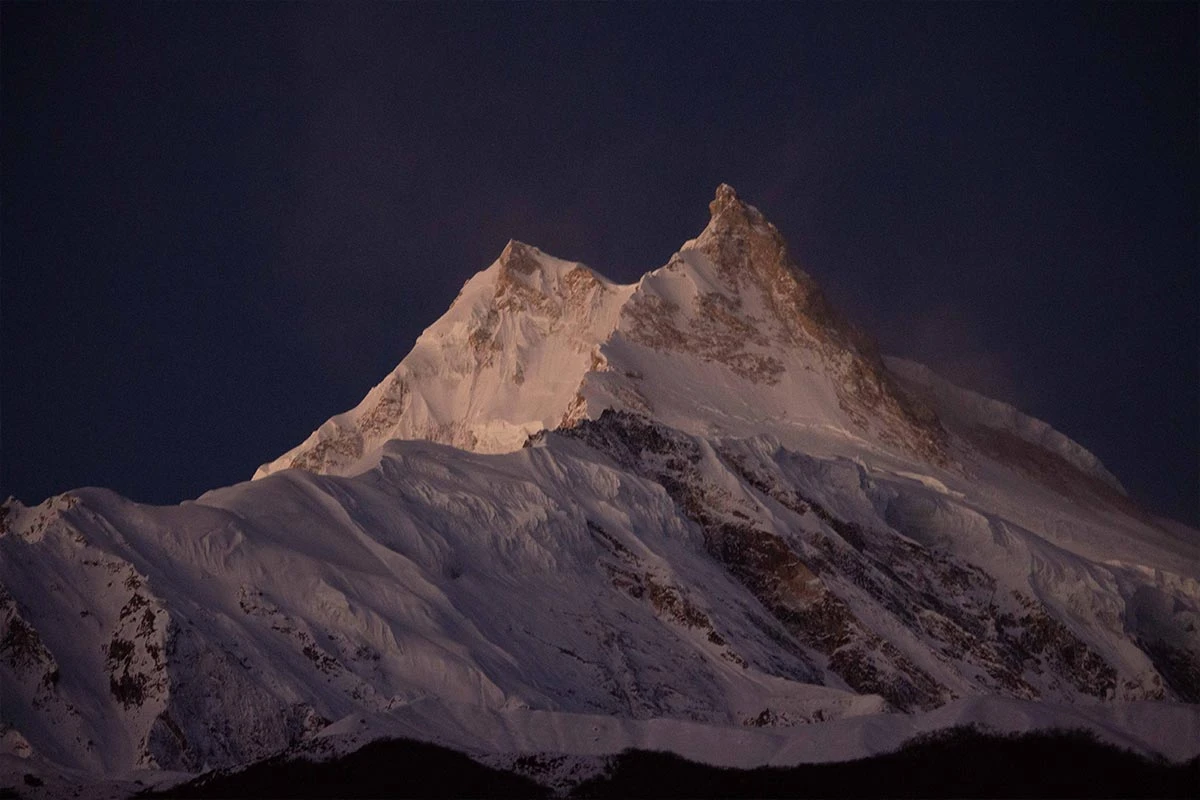
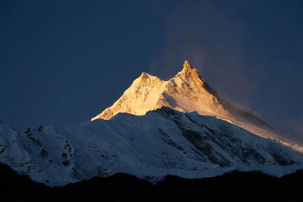
  • Watch the first morning light hit the summit of Mount Manaslu.
  • Trek through a massive wall of ice and rock of the Himal Chuli.
  • Observe herds of grazing yaks in Samagaum.
  • Explore traditional stone architecture or visit the nearby Pungyen Gompa.
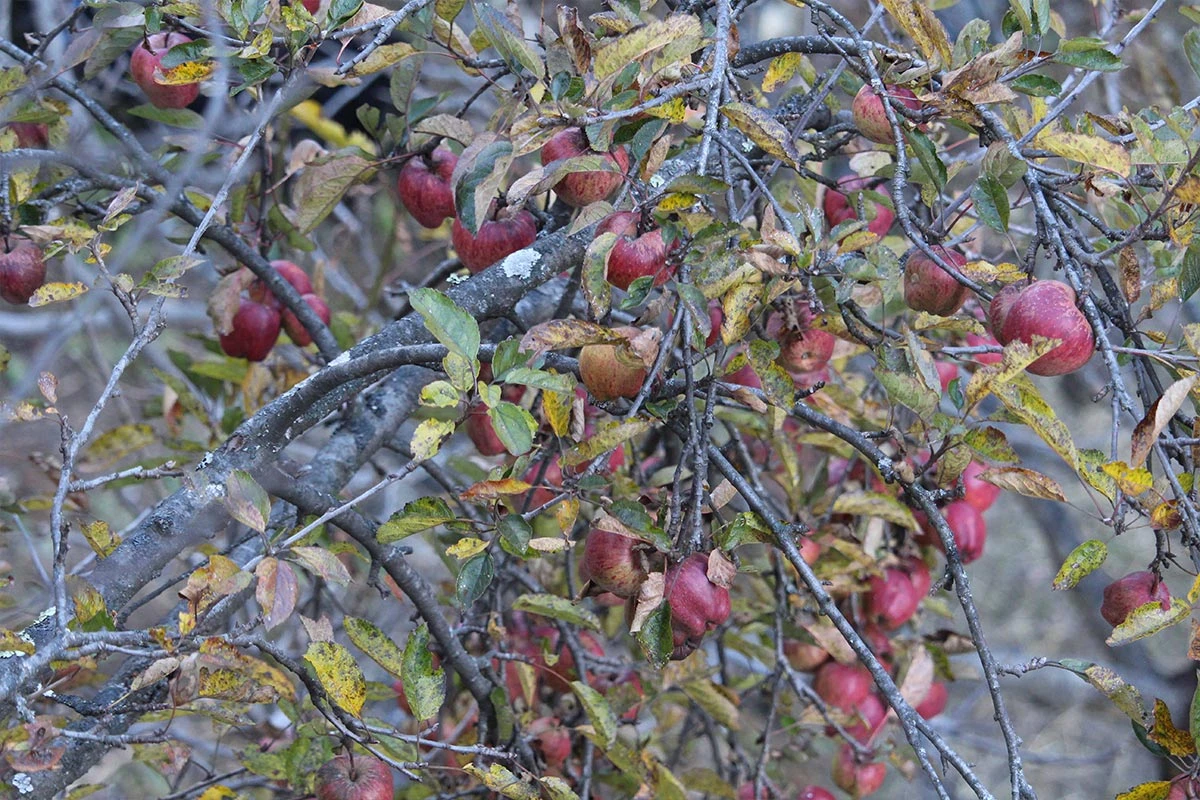
Apples at Lho Village
Early morning view of Manaslu
Lho Gompa
Monastery at Shyala
Samagoan
Shyala Village
Sunrise at Mount Manaslu
Day7
  • Meals:Breakfast, Lunch, Dinner
  • Accommodation:Teahouse
  • Sleep Elevation:3,530 m
  • Overnight Place:Sama Gaon
  • Day's Difficulty:Moderate

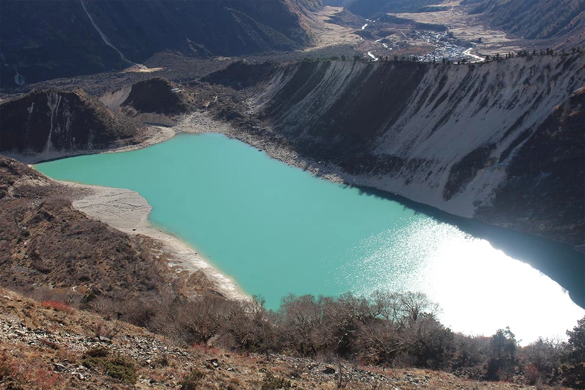
We spend an extra rest day in Samagaun to help our bodies adjust to the thin mountain air. It is important to stay active rather than rest all day, so we plan a hike to a higher elevation before returning to the village to sleep. One of the best options is a walk to Birendra Tal, a glacial lake that sits at the base of the Manaslu glacier. The water is a deep turquoise, and we can watch chunks of ice fall from the glacier into the lake as we rest on the shore.

If we feel strong, we can hike to Manaslu Base Camp, which sits at 4,400 m. This is a steep climb that takes about 4 to 5 hours, but it offers a close-up view of the route used by mountaineers. We see the colorful tents of the climbing expeditions and get a true sense of the scale of the world’s eighth-highest mountain. After our hike, we return to our teahouse in Samagaun for a warm meal and a restful evening, preparing for the trail ahead.

Included activities:

  • Hike to the Birendra Tal for a rest.
  • Trek toward Manaslu Base Camp to see mountaineering expedition tents.
  • Watch chunks of ice fall from the glacier into the lake below.
  • Walk to higher elevations to help the body adjust to thin mountain air.
Birendra Lake
Pyungen Gompa
Way to Base Camp
Way to Pyungen Gompa
Day8
  • Meals:Breakfast, Lunch, Dinner
  • Accommodation:Teahouse
  • Trek Distance:12 km
  • Trek Duration:4 hours
  • Sleep Elevation:3,780 m
  • Overnight Place:Samdo
  • Day's Difficulty:Challenging

We leave the busy Sama Gaon and follow the trail as it winds along the upper reaches of the Budhi Gandaki River. The walk today is shorter and more gentle, which helps us save our energy for the high-altitude days ahead. We pass through fields of juniper and birch trees, and the valley starts to widen as we move further away from the treeline. The views of the surrounding peaks are spectacular, and we can see the trail leading toward the Tibetan border to our right.

The path takes us over a wooden bridge and climbs a small ridge before we reach the village of Samdo. This is the last permanent settlement in the region and was originally built by Tibetan refugees. The houses here are grouped closely together to keep out the cold mountain winds. Since we arrive by lunchtime, we have the afternoon to explore the village or hike up to the nearby hills for better views of the Larkya La pass.

Included activities:

  • Follow the upper Budhi Gandaki River through fields of juniper and birch.
  • View the mountain trails that lead toward the nearby Tibetan border.
  • Explore the traditional stone houses of Samdo, a Tibetan refugee settlement.
  • Hike nearby hills for a panoramic look at the Larkya La pass.
Manaslu
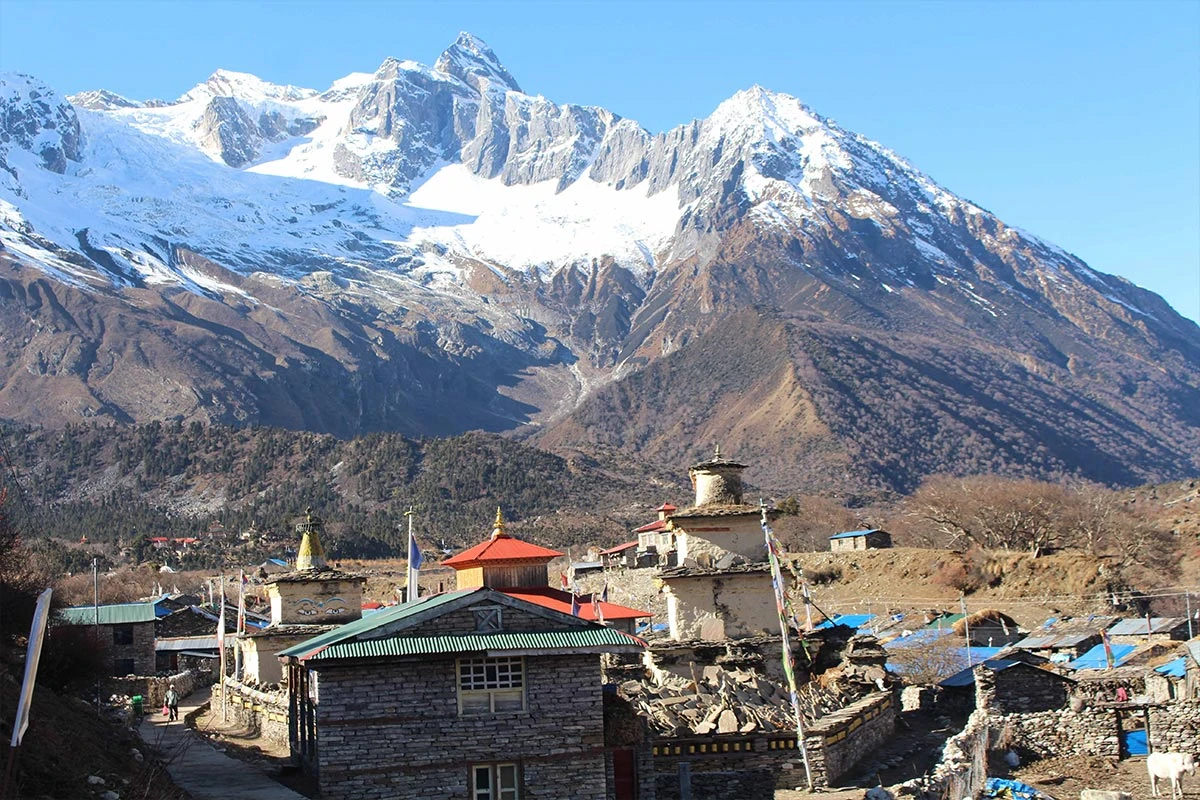
Samdo Village
Samdo
Day9
  • Meals:Breakfast, Lunch, Dinner
  • Accommodation:Teahouse
  • Trek Distance:12 km
  • Trek Duration:5 hours
  • Sleep Elevation:4,460 m
  • Overnight Place:Larke Phedi (Dharamsala)
  • Day's Difficulty:Challenging

We start our morning with a steady climb as we move further into the high-altitude wilderness. The trail leads us down to the river once more to cross a wooden bridge before we begin the ascent toward the Larkya Glacier. We pass the remains of Larke Bazaar, where traders from Tibet used to bring their goods to sell. The landscape becomes very rocky and dry as we leave the last bits of greenery behind and enter the alpine zone.

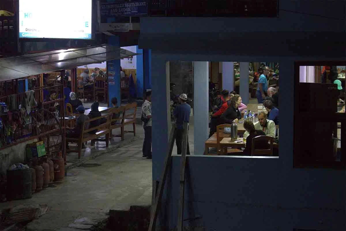
The path continues to climb gradually along the side of the mountain valley. We must walk slowly to help our lungs adjust to the thin air at this height. We eventually reach the stone guest house at Dharmasala, also known as Larke Phedi, which sits at the base of the pass. This is a very basic settlement designed only for trekkers to sleep before they cross the high pass the next morning. We have an early dinner and try to get as much rest as possible in the cold.

Included activities:

  • Cross a wooden bridge over the river to begin the climb toward Larkya Glacier.
  • Walk past the historical remains of the Larke Bazaar trading post.
  • Enter the rocky alpine zone where the lush greenery fades away.
  • Rest at the Dharmasala stone guest house to prepare for the high pass.
Dharmasala
Manaslu
Walking on the snow
Way to Larkya Bazzar
Day10
  • Meals:Breakfast, Lunch, Dinner
  • Accommodation:Teahouse
  • Trek Distance:24 km
  • Trek Duration:8-9 hours
  • Sleep Elevation:3,720 m
  • Overnight Place:Bhimtang
  • Day's Difficulty:Challenging

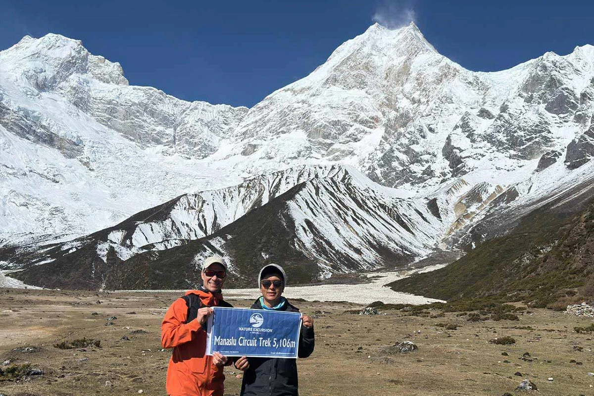
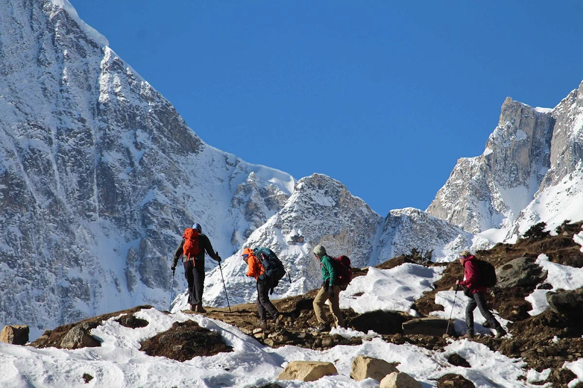
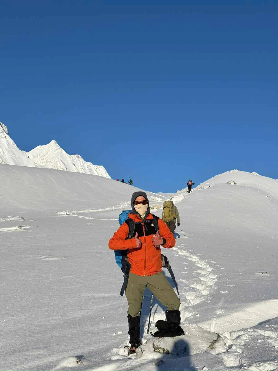
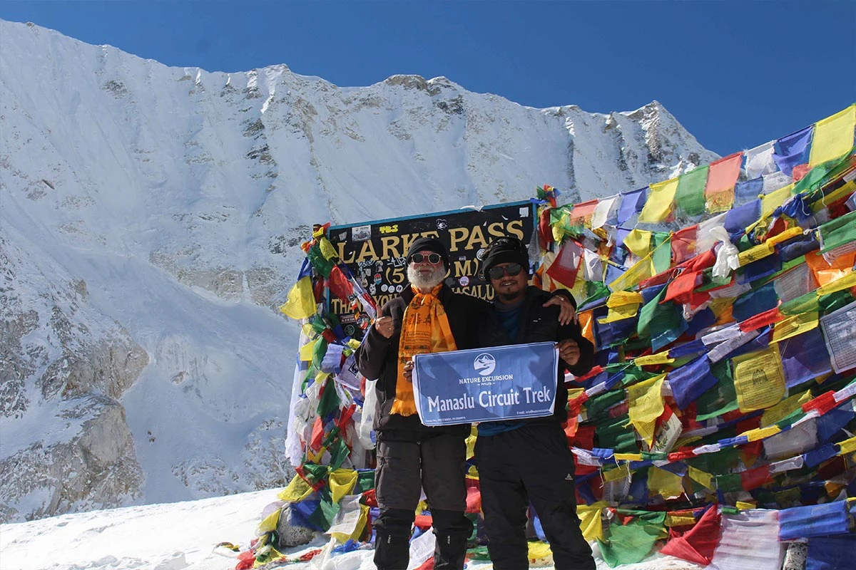
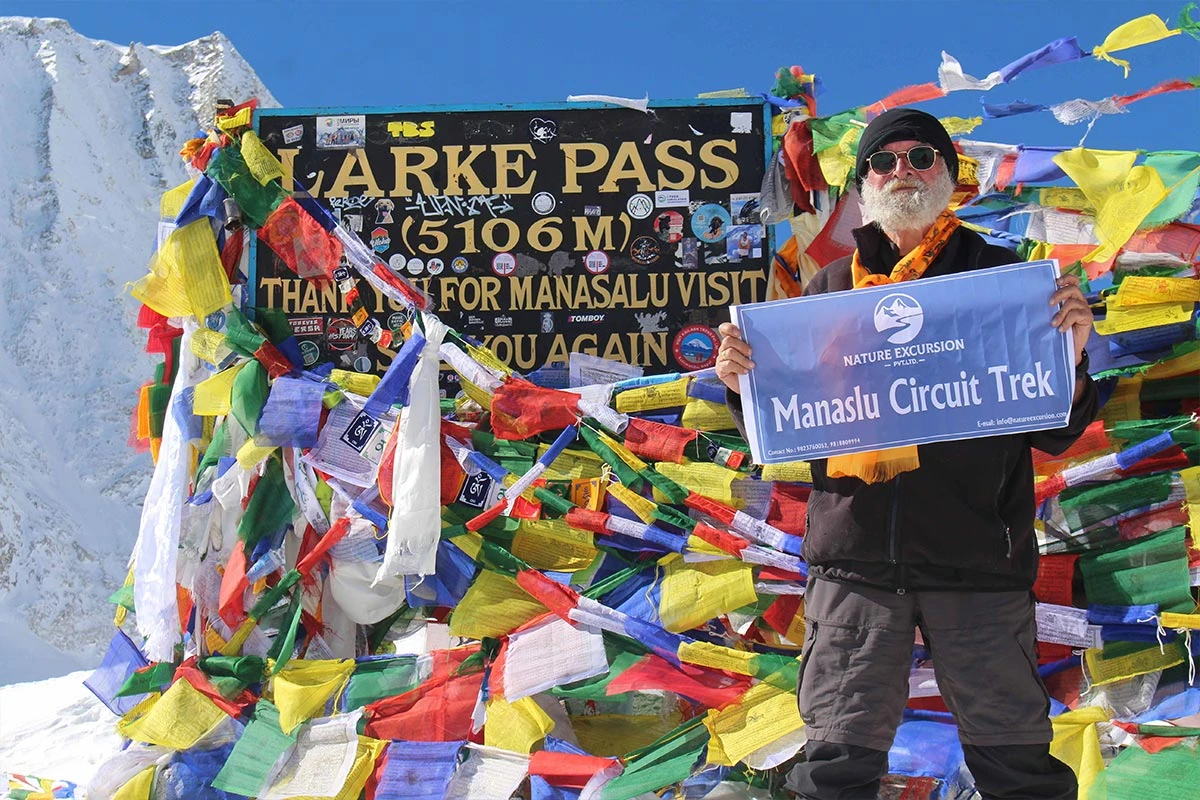
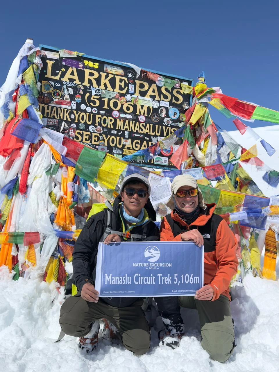
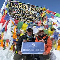
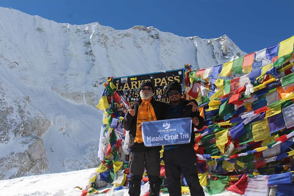
We wake up at 3:00 AM to begin the most challenging day of our trek. Leaving Dharmasala in the dark, we use headlamps to follow the trail as it climbs the steep lateral moraine of the Larkya Glacier. The air is very cold and thin at this height, so we walk at a slow, steady pace to manage our breathing. After 4 to 5 hours of steady uphill trekking over rocky and often snowy ground, we reach the summit of the Larkya La pass at 5,106 m. The top is decorated with hundreds of colorful prayer flags, and we are rewarded with views of Himlung Himal, Cheo Himal, and the massive Annapurna II.

The journey is only half over once we reach the top, as a long and steep descent lies ahead. We follow a narrow trail that drops sharply toward the valley floor, losing over 1,500 m in elevation. This section can be slippery and hard on the knees, so we take our time as we navigate the loose scree and rocky slopes. As we descend, the landscape changes from white snow and gray rock back into green alpine meadows. We eventually arrive at the beautiful valley of Bhimtang, where we can finally rest and celebrate our successful crossing of the pass.

Included activities:

  • Depart from Dharmasala before dawn using headlamps.
  • Reach the summit of Larkya La pass to see colorful prayer flags at 5,106 m.
  • View the massive peaks of Himlung Himal and Annapurna II from the top.
  • Descend over 1,500 m through rocky slopes to reach Bhimtang.
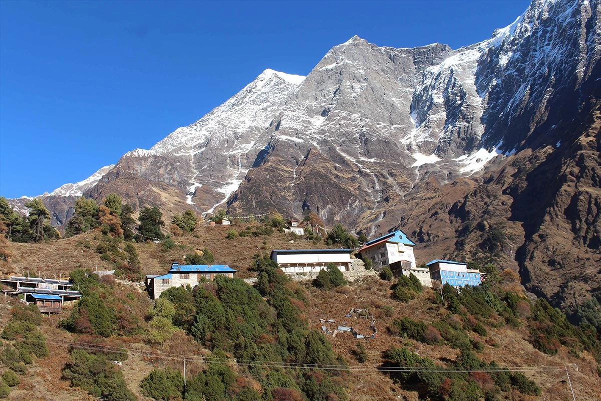
Bhimtang
Close to the Larkya top
Early morning for pass
Taran and Marcel at Larkya pass
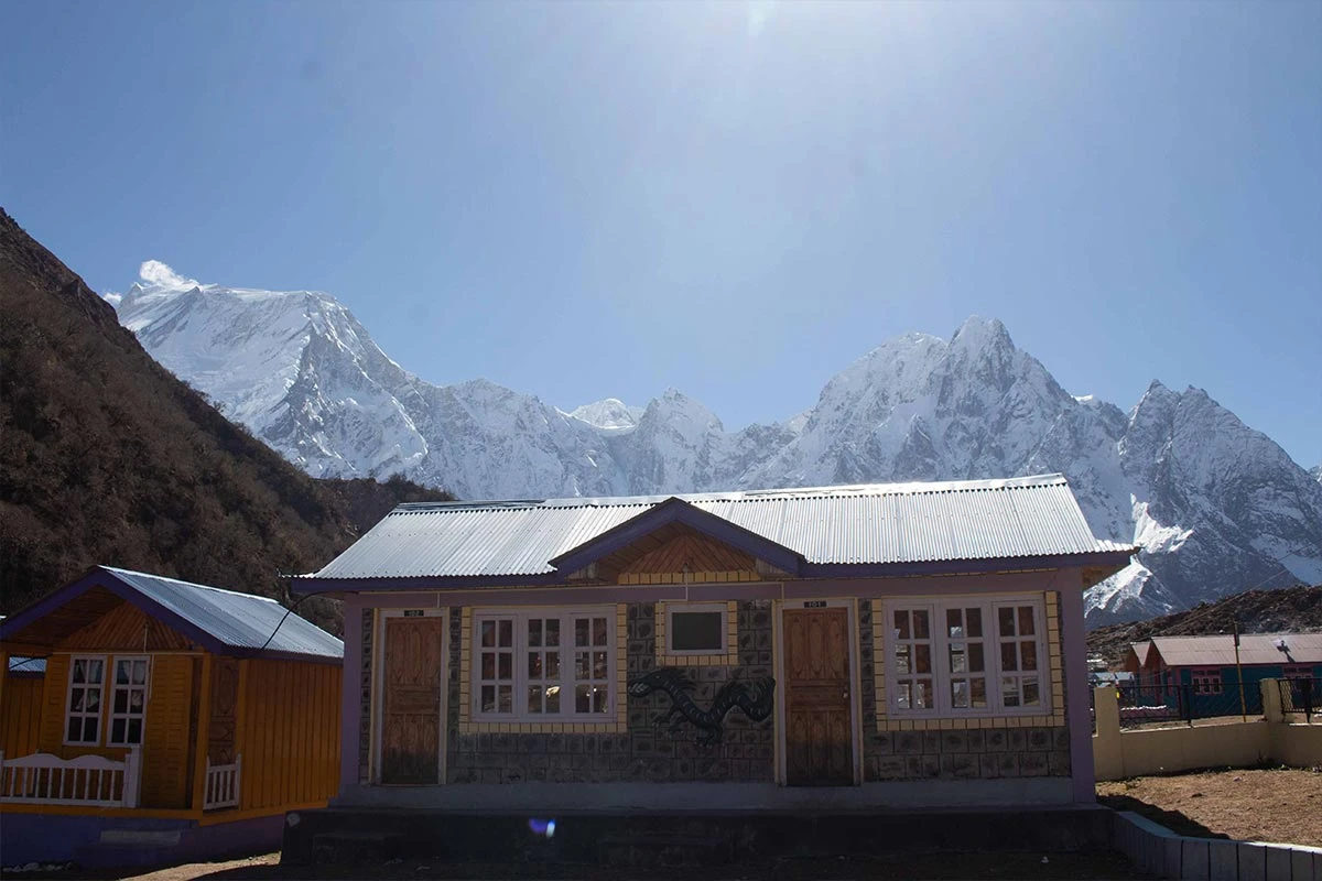
Teahouse at Bhimtang
Trekker at larkya La Pass
Trekkers at Larkya Top
Day11
  • Meals:Breakfast, Lunch, Dinner
  • Accommodation:Teahouse
  • Trek Distance:20 km
  • Trek Duration:7 hours
  • Sleep Elevation:2,300 m
  • Overnight Place:Tilije
  • Day's Difficulty:Moderate

We begin descending from Bhimtang after a well-earned rest. The trail leads us through a massive cemetery of ancient fir trees and beautiful forests of rhododendron and pine. We cross a bridge over the Dudh Khola and follow its bank as we quickly lose altitude. The air becomes noticeably warmer and thicker, making breathing much easier than in the previous days. We pass through small summer pastures like Sangure Kharka before entering dense woodlands, where we can once more hear the sounds of local birds.

The path continues downward toward the settlement of Karche, where we often stop for a lunch break among the terraced fields. We walk along the riverbed and cross several wooden bridges as the valley narrows into a green canyon. After passing through the Gho village, we follow a final stretch of forest trail until we arrive at Tilije. This is a large and prosperous village mainly inhabited by the Gurung people, known for its traditional stone houses and neat flagstone streets. We spend the night here and enjoy the return to a lower elevation.

Included activities:

  • Pass through small settlements like Sangure Kharka and Gho
  • Overnight at Tilije
Goa
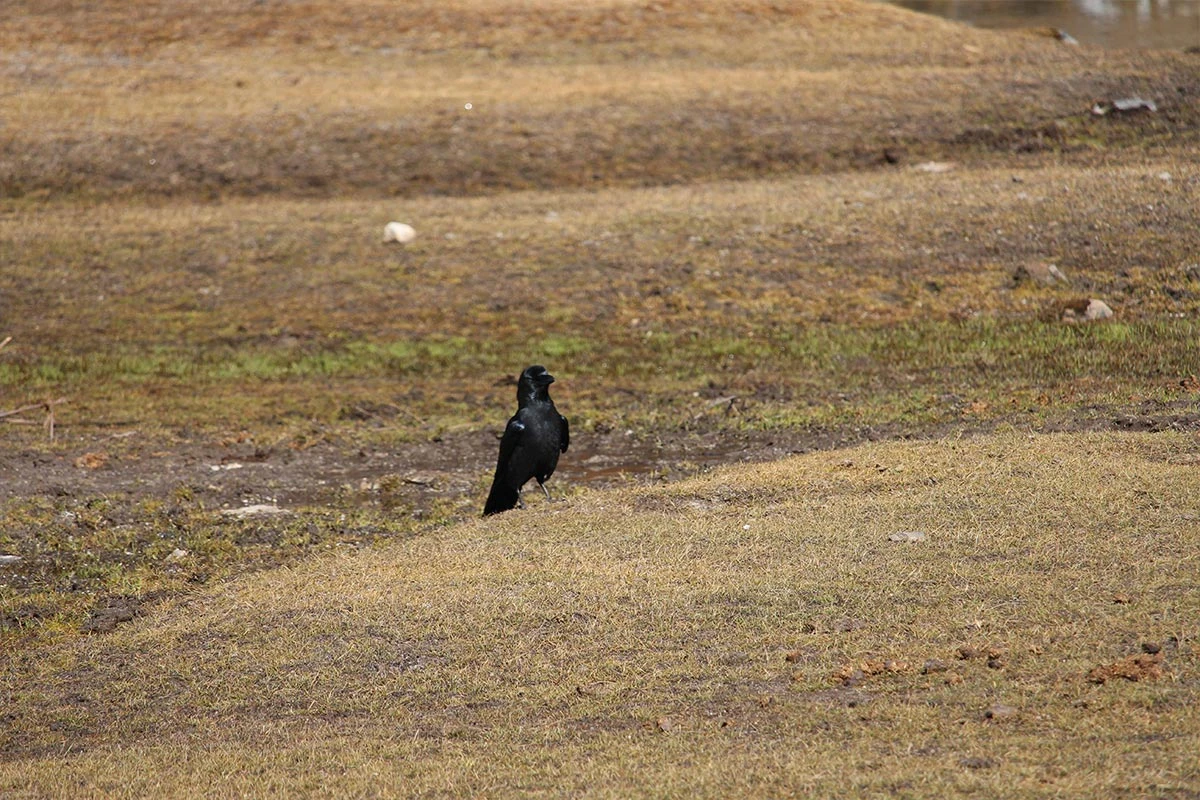
Himalyan Crow
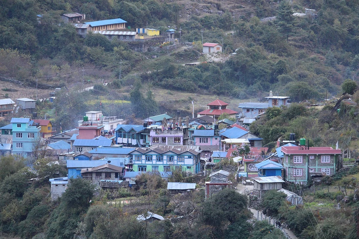
Tiliche
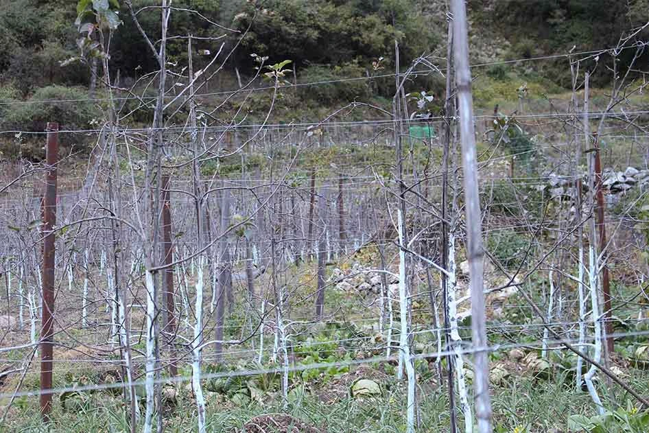
Apple firm
Bhimatang
Day12
  • Meals:Breakfast, Lunch
  • Drive Distance:222 km
  • Drive Duration:8-9 hours
  • Sleep Elevation:1,400 m
  • Overnight Place:Kathmandu
  • Day's Difficulty:Gentle

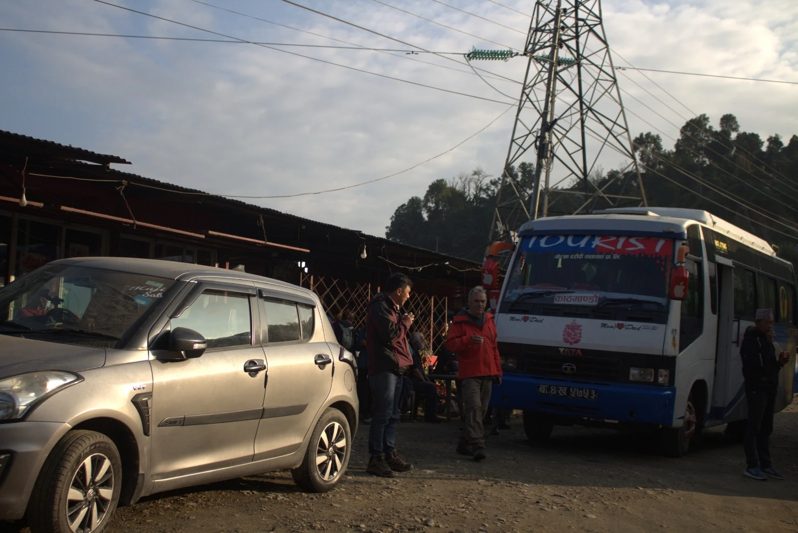
We finish the final trek around the Manaslu region by leaving the quiet village of Tilije. A short walk brings us to Dharapani, where our trail meets the popular Annapurna Circuit route. From here, we board a local or private 4WD jeep for the drive to Besisahar. The road is carved into the sides of deep gorges and passes through several small waterfalls and riverside villages, such as Tal and Chamje. This section of the drive is bumpy and off-road, taking about 3 to 4 hours to reach the bustling hub of Besisahar.

In Besisahar, we switch to a more comfortable vehicle or a local bus for the final drive back to Kathmandu. We drive alongside the Marsyangdi and Trishuli rivers, passing through green hills and vibrant roadside markets. We eventually return to the capital city by evening, where we can enjoy a hot shower and a celebratory dinner to mark the end of our Manaslu adventure.

Included activities:

  • Walk from Tilije to Dharapani to join the Annapurna Circuit route.
  • Board a 4WD jeep for a bumpy off-road drive through deep gorges.
  • Pass several riverside villages and waterfalls on the way to Besisahar.
  • Return to Kathmandu by vehicle to enjoy a final celebratory dinner.
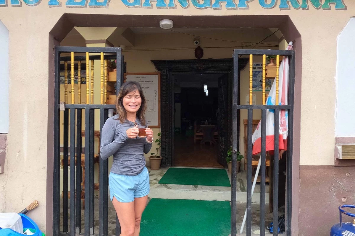
Trekker at hotel at Besisahar
Natural Hot Spring at Jagat
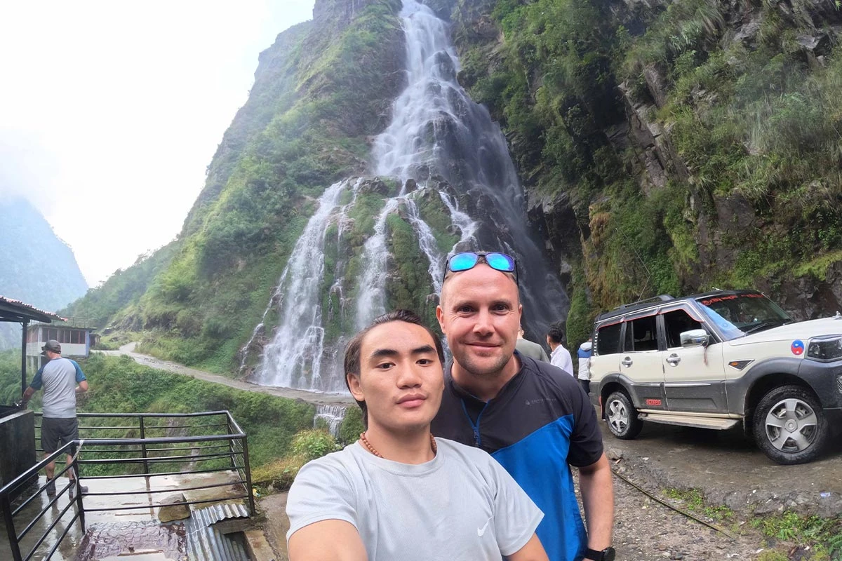
Octopus waterfall
Syange Waterfall

You can now plan every detail of your trek with our comprehensive guide. We have designed a downloadable PDF that includes the full 12-day schedule, elevation charts, and a complete gear checklist. This resource helps you track your daily distance and prepare for the high-altitude crossing of Larkya La. Click the button below to save our expert itinerary to your device and start your preparation for the mountains today.

Download Pdf

Cost Details

Includes

  • We provide airport pickup and drop-off services on both arrival and departure dates.
  • Transportation from Kathmandu to Machhi Khola by local bus (trek start point), from Tiliche (trek end point) to Besisahar by shared jeep, and to Kathmandu by local bus
  • All accommodations (tea house or lodge) during the trek
  • All standard meals (breakfast, lunch, and dinner—the main course from the menu) during the trek
  • Government-licensed English-speaking Nature Excursion’s experienced trek guide
  • Sherpas/Porters to help with luggage (the luggage weight limit is 10 kg per trekker).
  • An assistant guide group of 8 or above trekkers
  • Guide and porter cost: his meal, accommodation, insurance, salary, and other necessary equipment.
  • All applicable Manaslu Special Permit, Manaslu Conservation Area Permit, and Annapurna Conservation Area Permit (ACAP) fees
  • Water purification tablets for safe drinking water
  • Snacks (cookies) and fresh seasonal fruit every evening after dinner, as per availability
  • All arrangements for the rescue operation in case of health-related emergencies (funded by your travel insurance company)
  • Souvenir Company T-shirt

Excludes

  • International flight costs
  • 2 nights at a hotel in Kathmandu
  • Nepal entry visa fees at Tribhuwan International Airport (TIA): (15 days: $25–30, 30 days: $40–50, and 90 days: $100–110)
  • Excess luggage charges (limit: 10 kg per trekker)
  • Extra-night accommodation in Kathmandu due to early arrival, late departure, or early return from the trek
  • Personal expenses: hot and cold drinks, alcohol, hot shower, laundry, wifi, battery recharge, extra porters, etc.
  • All the costs and expenses that are not listed in the included section
  • Travel insurance must include coverage for emergencies involving high-altitude rescue and evacuation.
  • Additional costs due to delays caused by circumstances beyond our control, like landslides, itinerary modifications due to safety concerns, weather conditions, illness, changes in government policies, and strikes
  • Tips for guide, porter, and driver (expected)

Clients Reviews

  • Best experience ever

    It’s been a great experience to trek the Manaslu Circuit with Nature Excursion in April this year! Ajaya, my guide, was super professional, knowledgeable, flexible and fun to be with! I’m very grateful for this experience and can highly recommend to everyone, no matter if solo, as couple or a group of family/friends.

    Dan Ielk
    Dan IelkKenyaApr 24, 2026
    TripAdvisor
  • Manaslu Trek

    My wife and I together with another couple joined Raju pre-pandemic to experience the Manaslu trek. From the greet at the airport to the fairwell this trip remains top of the chart. From hotel accommodations, to trekking permits to everyday logistics of food and sleep in the tea houses Raju does it all. We had 2 porters hand picked by Raju who were also trained chefs. Every night they would enter the kitchen of whichever tea house we landed in and prepared tasty and hygienic meals. They were always keeping an eye out for food they did not trust for our North American stomachs. Weather, physical fitness, culture and more means that the unpredictable is unavoidable. You need a guide who can turn on a dime and Raju did it for; the initial bus breaking down and organizing jeep relief, adjusting itinerary for someone having to abandon the trip, making showers or cleaning facilities available as much as possible and managing the speed and needs of different people.
    There are those experiences that come and go like an all inclusive beach get away that are most often forgettable, then there are those that will remain with you for life and that makes this one unforgettable.
    Many years later we still keep in touch with Raju and his beautiful wife Punam and through WhatsApp have been part of them becoming parents through the arrival of Pranishna. 🙏 Namaste
    p.s. looking forward to Ruby Valley trek in the near future.

    Richard Perron
    Richard PerronCanadaAug 14, 2023
    TripAdvisor

Useful Information

12-day Manaslu Circuit Journey Difficulty Level

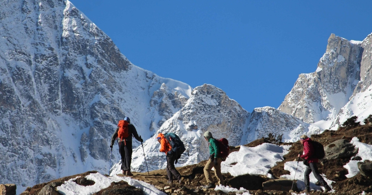
The 12-day Manaslu Circuit trek is one of the toughest adventures, requiring high levels of physical and mental endurance. You will cover a total trek distance of over 175 km around Manaslu, which is often rough, rocky, and steep. Unlike the well-paved trails of the Everest region, the path along the Budhi Gandaki River involves constant elevation changes, where you gain and lose hundreds of meters in a single day before even reaching the high camps. The daily walks average 6 to 8 hours, pushing your stamina as you move from the humid lowlands at 870 m to the frozen heights of the Larkya La pass.
way to manaslu

The altitude change is the most significant Manaslu Circuit Trek difficulty. You spend several days above 3,500 m, where the oxygen levels drop significantly, making every uphill step feel twice as heavy. The final push from Dharmasala to the summit of the pass at 5,106 m involves a steep, pre-dawn climb in sub-zero temperatures. You must be prepared for a long, 10-hour day of trekking during the pass crossing, which includes a knee-jarring descent of over 1,500 m into Bhimtang.

Who is this trek for?

The Manaslu Circuit Trek is suitable for fit hikers with experience on multi-day treks and comfortable with basic living conditions. If you have previously completed the Annapurna Circuit Trek or the Everest Base Camp trek, you will find the Manaslu Circuit to be a rewarding next step, thanks to its remote location and more rugged trails.

It is also ideal for those seeking solitude and avoiding the busier tourist hubs. You do not need technical climbing skills, but you must have the leg strength for long descents and the mental toughness to handle thin air and cold mountain nights.

Food, Accommodation & Trekking Experience along the Manaslu Circuit Trek Trail

Food and Drink

The food available on the 12 or 14 days Manaslu Circuit Trek is fresh and nutritious. Most teahouses serve the staple meal called Dal Bhat. This consists of lentil soup, rice, and vegetable curry. It is the best choice for energy because you can ask for free refills of rice and lentils. You will also find items like fried noodles, pasta, and potatoes. Eggs are available in most places, and you can get pancakes or porridge for breakfast. Meat is rare and often not fresh in high altitudes, so we recommend sticking to a vegetarian diet to avoid stomach issues.

Clean drinking water is vital for your health. You should not buy plastic bottled water because it creates waste in the mountains. Instead, you can buy boiled water from teahouses or use water purification tablets with tap water. Most lodges sell a variety of teas, including ginger, lemon, and honey tea, which help with colds. Coffee is usually instant, though some lower-elevation villages have small bakeries with better options.

Accommodation and Amenities

Teahouses provide basic but clean rooms for your stay. You will usually sleep on two single beds with thin mattresses. The walls between rooms are thin, so you might hear your neighbors. While lodges provide blankets, you must bring a sleeping bag rated for -20°C (-4°F) to stay warm at night. Toilets are often shared and located outside the main building or at the end of the hall. In higher villages like Samdo or Dharmasala, you will likely use squat toilets rather than Western-style toilets.

Electricity and the internet are available, but they become less reliable as you climb higher. You can charge your phone or camera battery in the common room for a small fee, usually between USD 2 and USD 5. Most teahouses use solar power, so charging may not work on cloudy days. Wi-Fi is available in many spots through the Everest Link or local cards, but the signal is often weak. Buying a local SIM card with a data plan is a better way to stay in touch with your family, though coverage can be spotty in deep canyons.

Solo vs Group Manaslu Circuit Trek

Solo vs guided Manaslu Circuit Trek, which one do you think is better? Before we jump into that, let's take a look at crucial trek rules. You cannot trek the Manaslu Circuit alone. The Nepal government lists this area as a restricted region. This means you must have a licensed guide with you at all times. In the past, rules required at least two trekkers to get a permit. Now, you can book a solo trek as long as you hire a guide through a registered agency. This allows you to walk at your own pace without waiting for others. Let's look at more details on

Solo Trek with a Guide

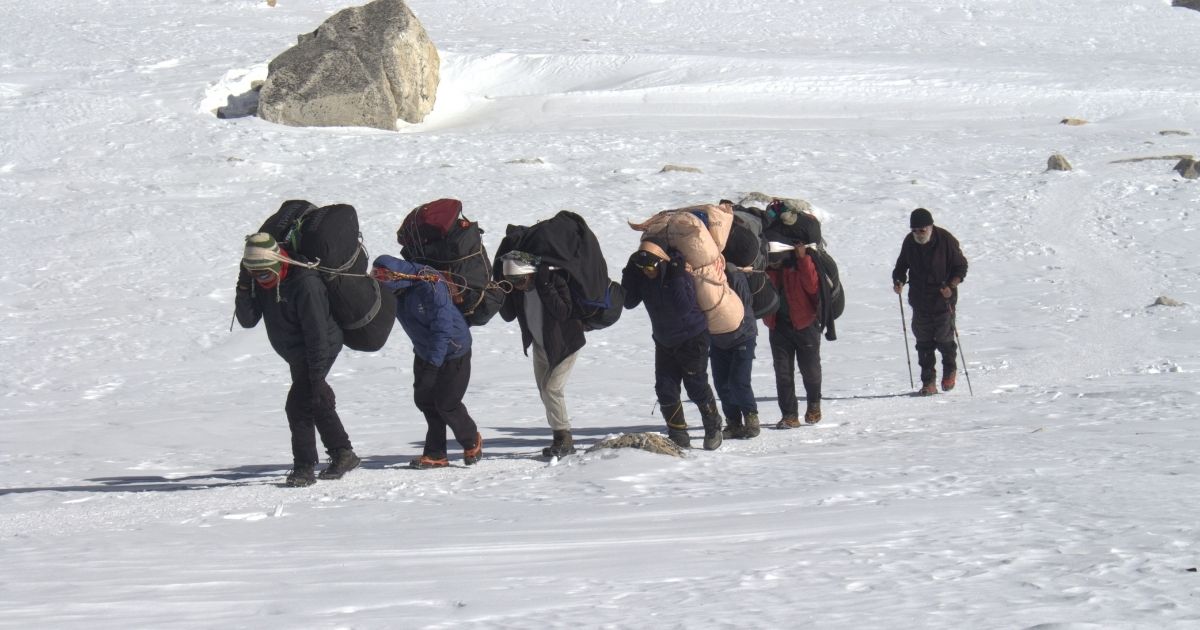
Since you are trekking a restricted area you must hire an experienced guide even if you are trekking solo. Since you don't need a partner, a solo trek gives you total control over your schedule. You can start your day at 7:00 AM or 8:00AM, depending on how you feel; however, following the guide's suggestion is the best way to trek the Manaslu circuit.
manaslu trek with guide

If you find a village you like, you can choose to stop early. The main disadvantage is the cost. You will pay for the guide's daily wage and transport by yourself. You also pay the full price for your Jeep transfers to Soti Khola or from Dharapani.

Group Trekking Benefits

Joining a group helps you save money on shared costs. You split the cost of the guide and transport with others. It is also a good way to meet new friends from different countries. The downside is that you must follow a fixed timeline. If you are faster or slower than the group, you may feel frustrated. You also have less privacy during meals and social time in the teahouses.

Preparation Tips for Manaslu Circuit Trek

Physical Training

You should start your physical training at least two to three months before you arrive in Nepal. The Manaslu Circuit is a demanding trek that requires you to walk 6 to 8 hours a day on steep, uneven terrain. Focus on cardiovascular exercises like swimming, cycling, or running to improve your lung capacity. The best way to prepare is to go on day hikes with a backpack weighing 5-7 kg. This helps your legs and back get used to the weight you will carry during the journey.

Leg strength is the most important factor for crossing the Larkya La pass. You should add squats, lunges, and step-ups to your weekly routine to build muscle in your quads and calves. It is also a good idea to wear your trekking boots during your training sessions. This helps break them in and prevents painful blisters on the actual trail. If you do not live near hills, use a treadmill on an incline or climb stairs in a local building to simulate the uphill climbs.

Mental Training

Mental preparation is just as important as physical fitness for this trek. You will face long days, cold weather, and basic living conditions that can be tiring. You must prepare yourself to go without hot showers or high-speed internet for nearly two weeks. Practicing patience will help you handle flight delays or weather changes. Understand that the trail gets harder as the air gets thinner, so keeping a positive attitude during the steep sections will help you reach the top.

Manaslu Circuit Trek Weather Variation

The Manaslu Circuit Trek spans a wide range of climatic zones, from subtropical forests to Arctic-style glacial passes. Because the trail starts at 870 m and peaks at 5,106 m, the weather changes drastically over just a few days of walking. Being prepared for these fluctuations is essential for safety and comfort throughout the trek.

Low Altitudes (Soti Khola to Namrung)

  • Winter (Dec–Feb): 2°C (35.6°F) to 12°C (53.6°F)
  • Spring (Mar–May): 14°C (57.2°F) to 24°C (75.2°F)
  • Summer (Jun–Aug): 18°C (64.4°F) to 28°C (82.4°F)
  • Autumn (Sep–Nov): 11°C (51.8°F) to 23°C (73.4°F)

Mid Altitudes (Namrung / Lho to Samdo)

  • Winter (Dec–Feb): -9°C (15.8°F) to 6°C (42.8°F)
  • Spring (Mar–May: 4°C (39.2°F) to 16°C (60.8°F)
  • Summer (Jun–Aug): 8°C (46.4°F) to 19°C (66.2°F)
  • Autumn (Sep–Nov): 6°C (42.8°F) to 14°C (57.2°F

High Altitudes (Dharamsala to Larkya La)

  • Winter (Dec–Feb): -18°C (-0.4°F) to -4°C (24.8°F)
  • Spring (Mar–May): -8°C (17.6°F) to 2°C (35.6°F)
  • Summer (Jun–Aug): 1°C (33.8°F) to 9°C (48.2°F)
  • Autumn (Sep–Nov): -7°C (19.4°F) to 4°C (39.2°F)

Best Season for Manaslu Circuit Trek

Choosing the best time to trek the Manaslu Circuit determines the clarity of your views and the safety of your crossing at the high pass. You must consider how the changing weather patterns affect the trail conditions and the visibility of the peaks as you move from the subtropics to the high-altitude glaciers.

Spring (March to May)
sunrise at manaslu

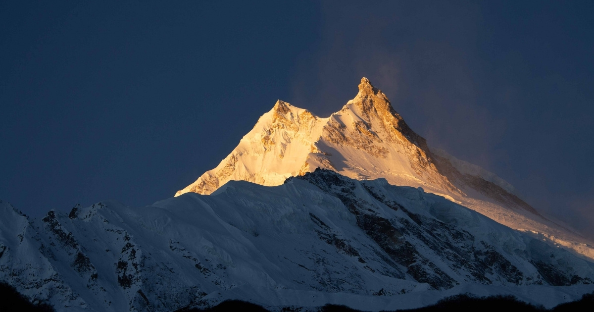
During this season, you experience the revival of the mountain landscape as the winter snow begins to melt. You walk through dense forests where the rhododendrons are in full bloom, adding bright red and pink colors to the lower hills. The temperatures are mild, making your trek through the gorge more comfortable before you reach the colder high altitudes. You find the trails are increasingly active with other hikers, and the clear morning skies usually offer you sharp views of the Manaslu massif.

Autumn (September to November)

You will find this is the most popular time for the circuit because the monsoon rains have cleared the air of dust. You enjoy the most stable weather and the highest level of visibility, which is essential for your crossing of the Larkya La Pass at 5,106 m. The crisp, dry air provides ideal conditions for photography and long days of walking. While you should prepare for colder nights at higher elevations, the predictable daytime conditions make this your best window for completing the entire loop safely.

Manaslu Circuit Trek – 12 Days FAQs

  • Q1. What is the significance of Mount Manaslu?

    Mount Manaslu is a popular mountain in Nepal that holds deep spiritual, geographical, and historical importance within the global mountaineering community and for the people of Nepal. As you stand in its shadow, you are looking at the eighth-highest mountain in the world, which reaches an elevation of 8,163 m. The name itself derives from the Sanskrit word Manasa, meaning "Mountain of the Spirit," reflecting the sacred status it holds for local Buddhist communities.

  • Q2. What is the typical day during the Manaslu Circuit Trek?

    During the Manaslu Circuit trek, we wake up early and head to our next destination after breakfast. Normally, hiking takes 6-8 hours a day. We start early in the morning, aiming to reach our next camp on time before it gets dark. Poeter will help us transfer our luggage from one camp to the next.

  • Q3. What is the highest point of the Manaslu Circuit trek?

    The highest point of the trek is the Larkya La Pass summit, at 5,106 m. This point represents the ultimate physical and technical challenge of your trek, marking the boundary between the Gorkha and Manang districts.

  • Q4. How much does the trek to Manaslu circuit cost?

    The cost of the Manaslu Circuit trek depends on the trek itinerary and service provided by the agency. In general, the cost of the Manaslu Circuit Cost is USD 1,150. But the cost of the Manaslu Circuit ranges from USD 800 to USD 2000 or more, depending on the services and level of comfort.

  • Q5. What permits are required for the 12-day Manaslu Circuit?

    For the Manaslu trek, you need the Manaslu Conservation Area Project (MCAP) and the Annapurna Conservation Area Project (ACAP), and the Manaslu Restricted Area Permit, as it is a restricted area. So, you need three permits altogether. A restricted area permit costs USD 100 for one week and 15 dollars per extra day; an MCAP permit costs USD 30; and an ACAP permit costs USD 30.

  • Q6. Who can join the Manaslu Circuit Trek?

    The incredible 12-day Manaslu Circuit is a moderate-to-challenging nature hiking destination that amazes every traveler with the awe-inspiring beauty of Mother Nature and the warm hospitality of local communities. Anyone doing this adventure needs to be strong, both physically and mentally.

  • Q7. Can overweight people join the 12-day Manaslu Circuit Trek?

    While overweight travelers are interested in trekking in the Manaslu Region, we recommend the Easy Manaslu Trek rather than the 12-day Manaslu Circuit. It’s because the 12-day Manaslu Circuit is a relatively short itinerary that involves quick elevation gains and a 6 to 8-hour walk each day. We prepare an itinerary for physically fit travelers who can walk the rough, rocky path with many ascents and descents for 6-7 hours continuously.

  • Q8. Is the 12-day Manaslu Circuit trek package suitable for kids and the elderly?

    Backpackers with limited time and a good fitness level typically opt for a 12-day Manaslu Circuit itinerary. The hiking route takes you through rough, rocky terrain, with immense ascents and descents in the Alps. Therefore, we recommend that young and elderly individuals opt for the easier Manaslu Circuit instead of this challenging adventure.

  • Q9. How fit do you need to be for the 12-day Manaslu Circuit adventure?

    You need a high level of physical conditioning and cardiovascular endurance to complete this journey safely. Because you will walk 6 to 8 hours daily over rugged terrain and steep inclines, your legs and lungs must be prepared for sustained exertion. You should begin a training regimen at least 2 months before your trip, focusing on uphill hiking, stair climbing, and strength training.
You may also like

Similar Packages