How are the Accommodations and Meals Facilities on the Nar Phu Trail?
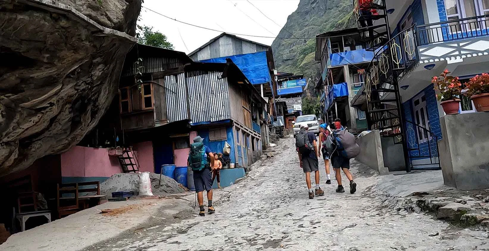
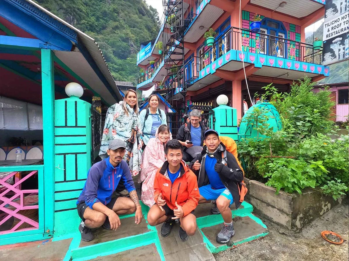
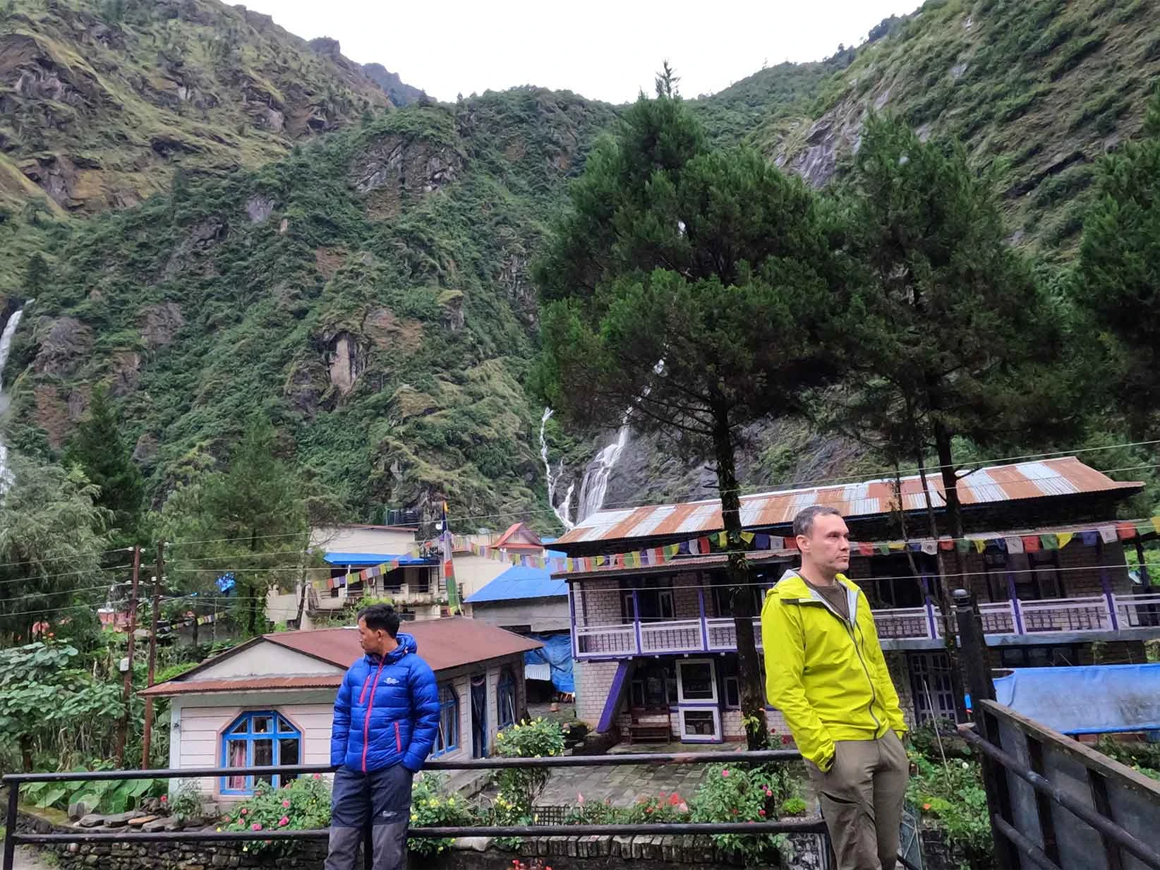
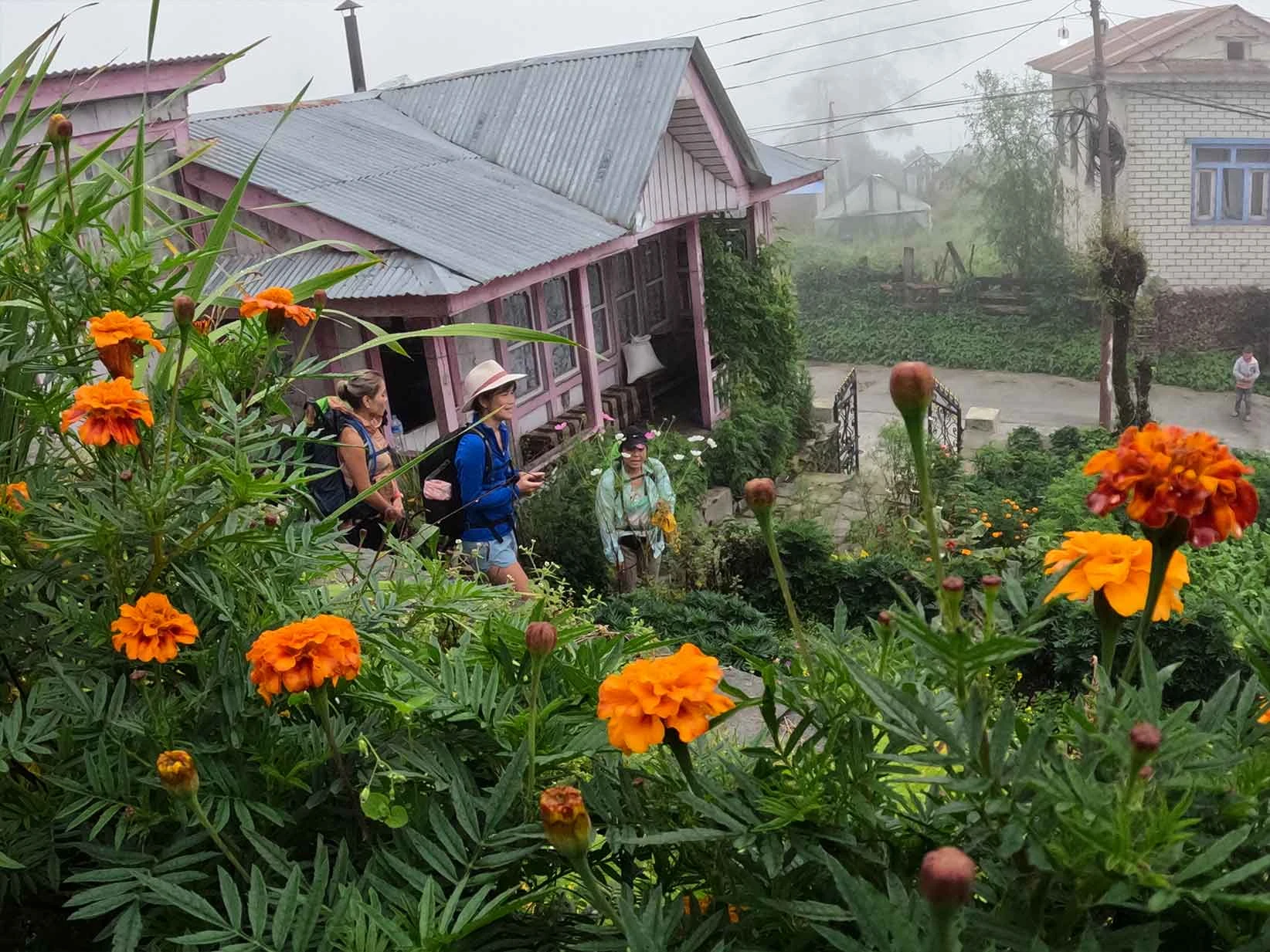
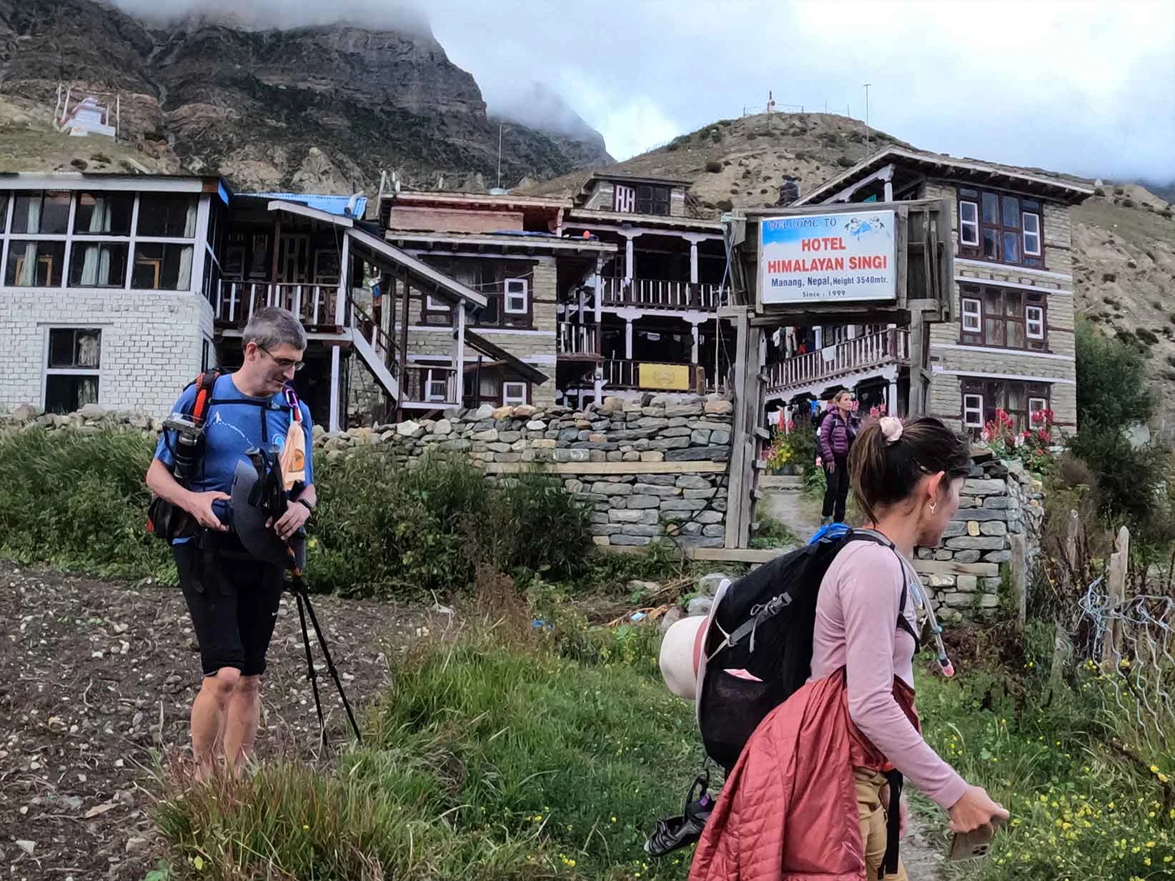
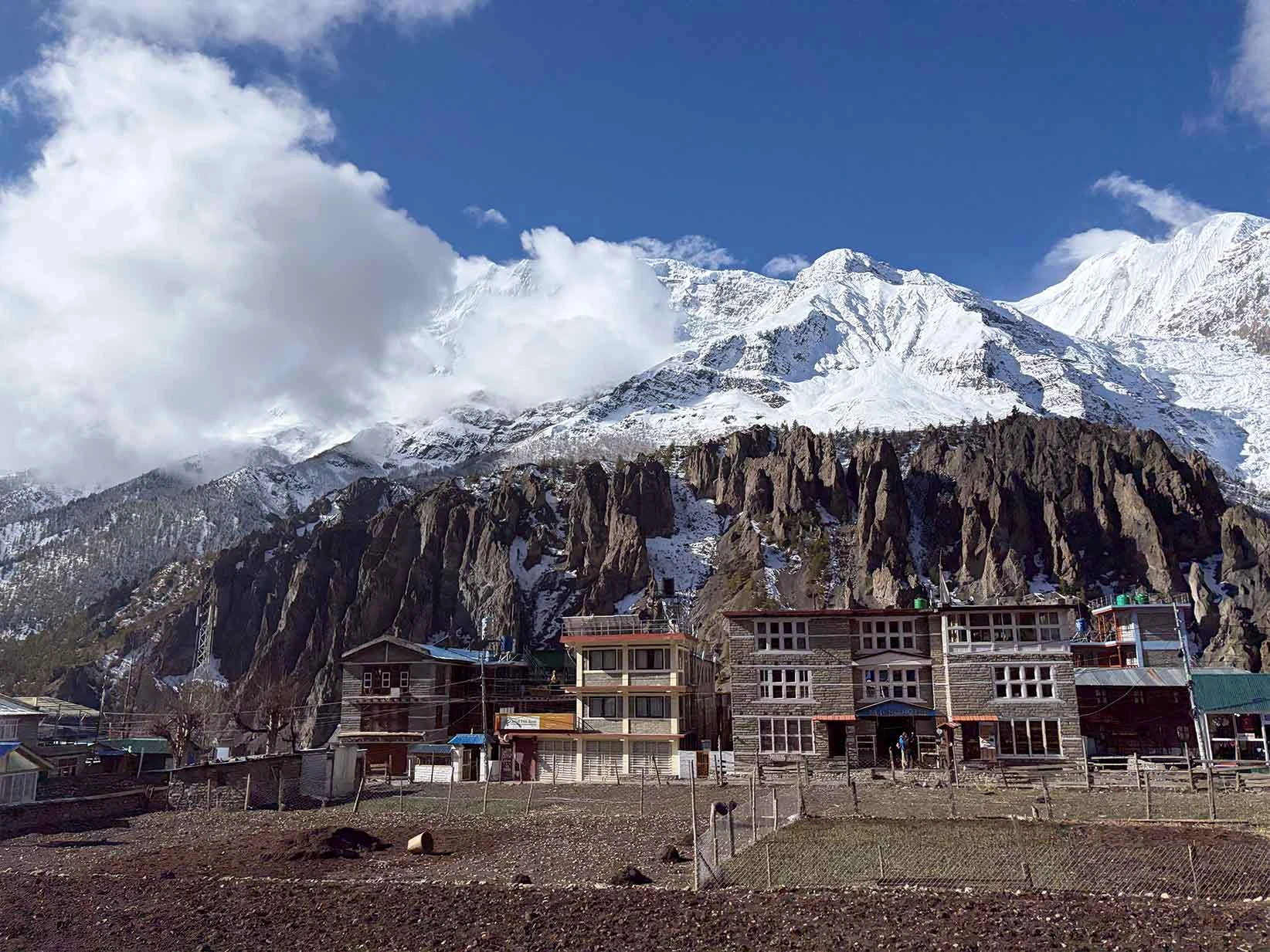
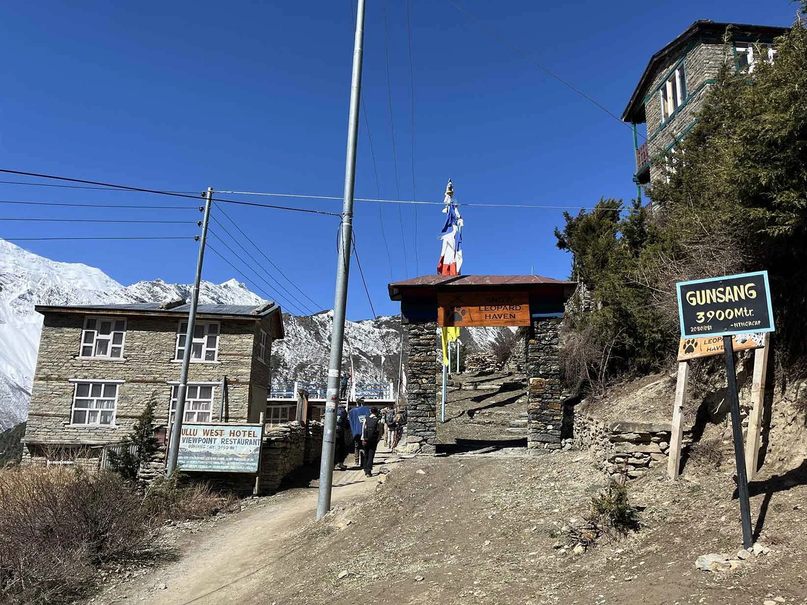
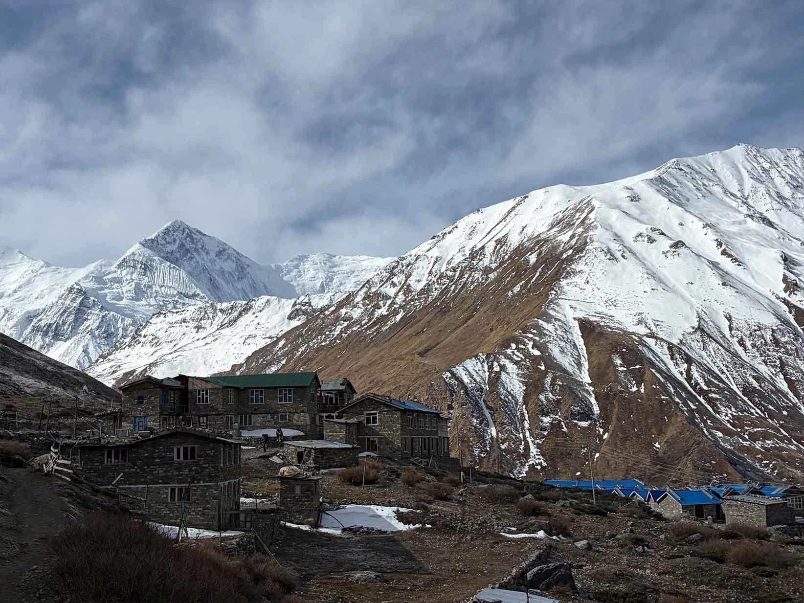
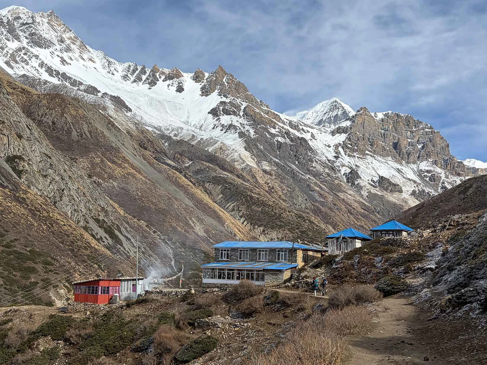
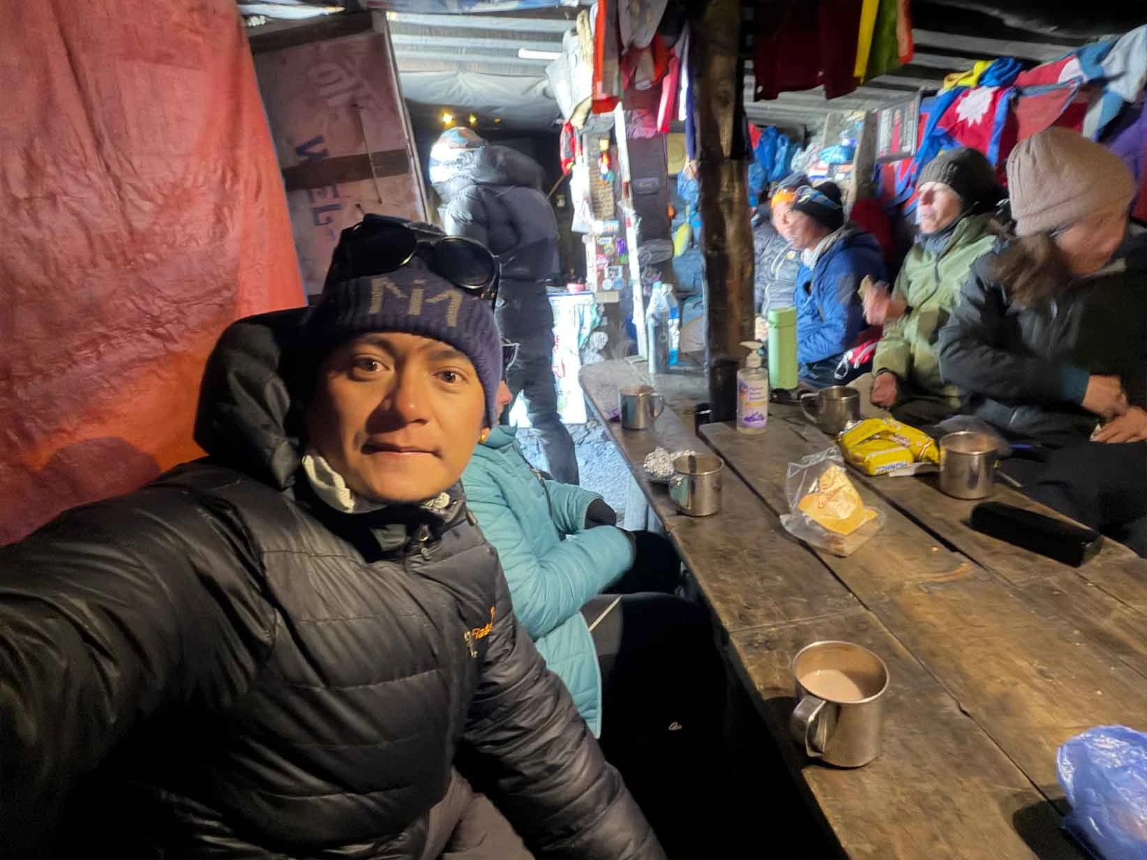
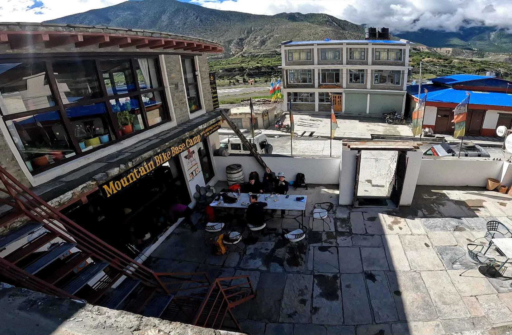
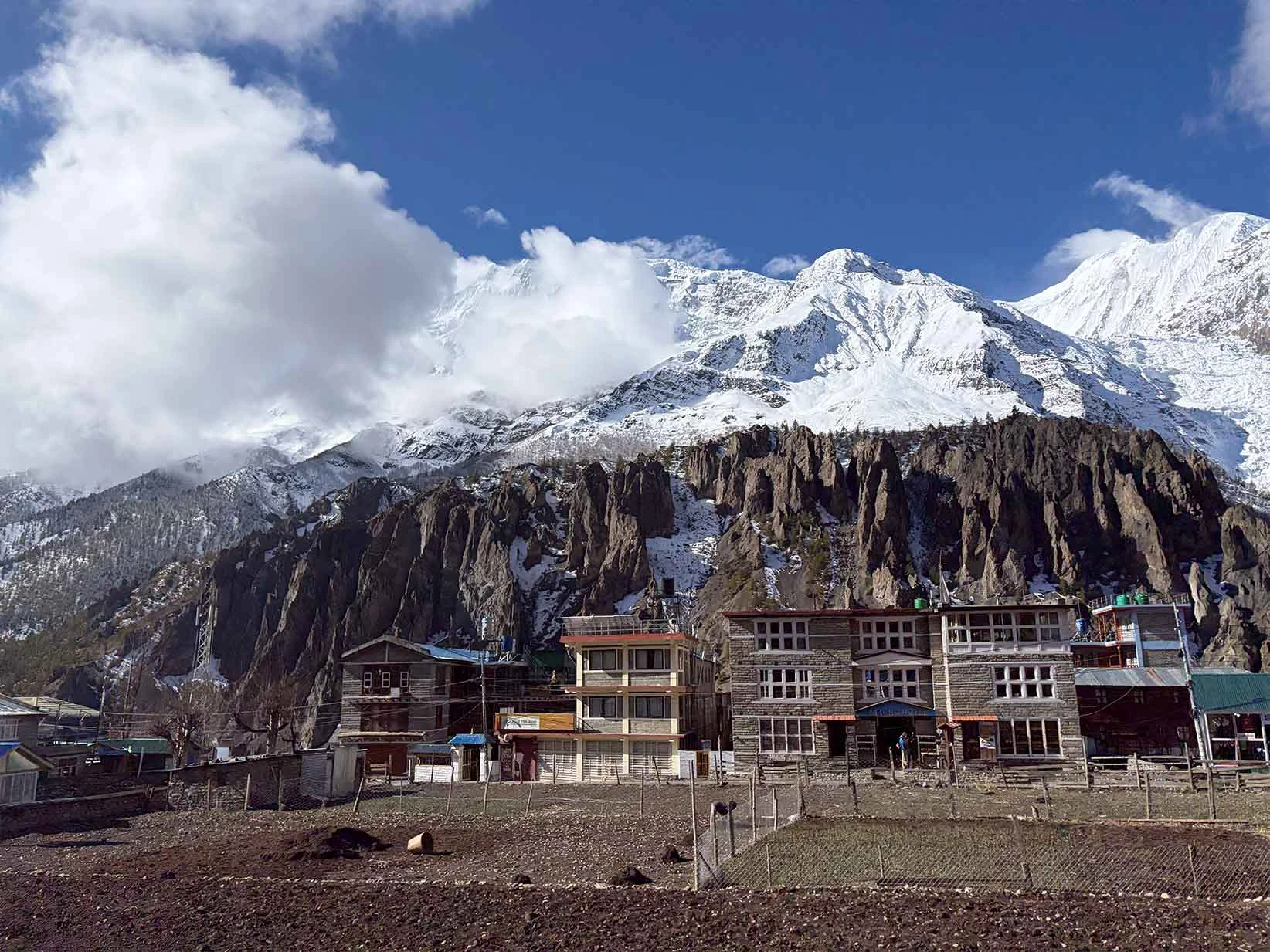
You will stay in traditional, stone-built teahouses run by local families along the restricted Nar Phu Valley trail. These mountain lodges are simple, rustic, and very minimalistic. Do not expect luxury or private attached bathrooms in remote settlements like Meta, Phu, and Nar. Your twin-sharing room will contain basic wooden beds, foam mattresses, and pillows. But you must bring a rated sleeping bag to stay warm, as the walls are thin and the rooms lack insulation.
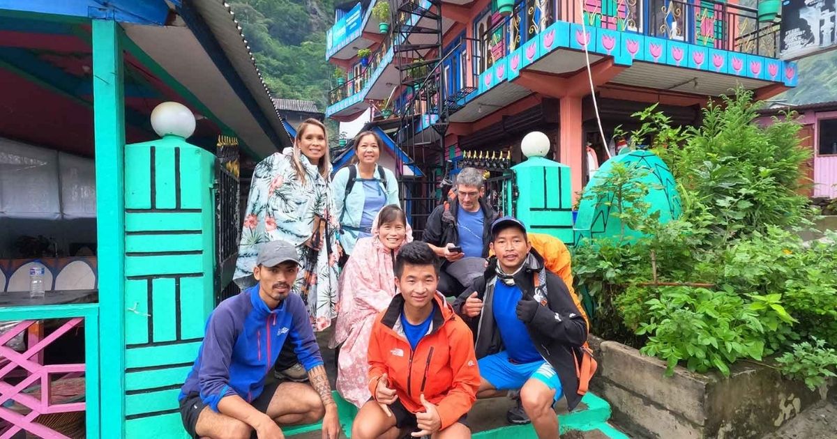
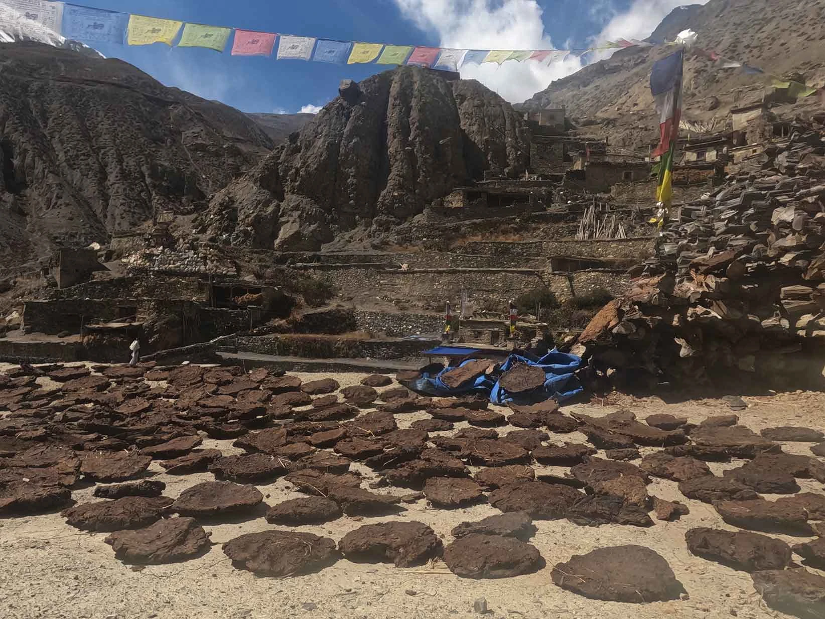
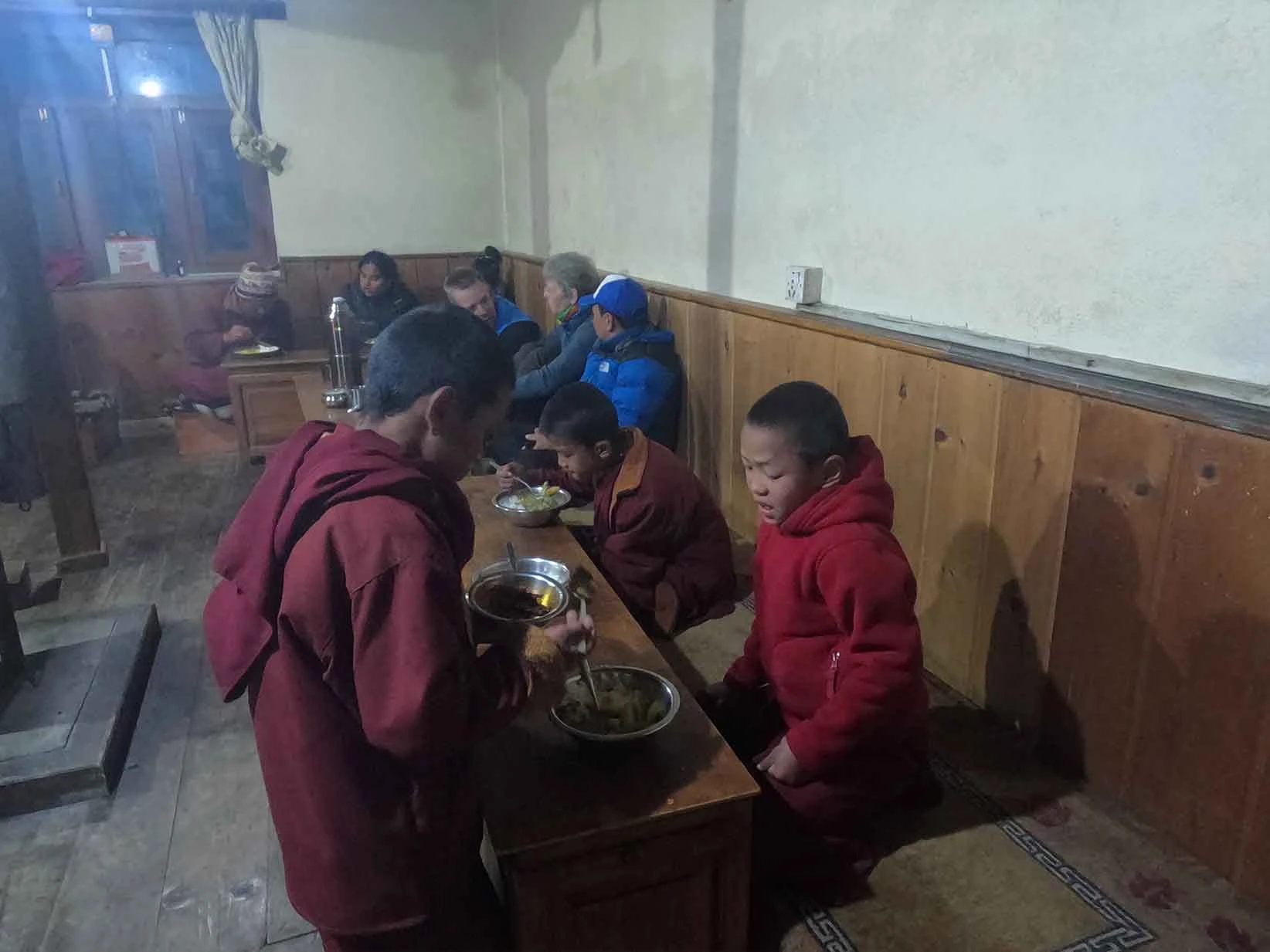
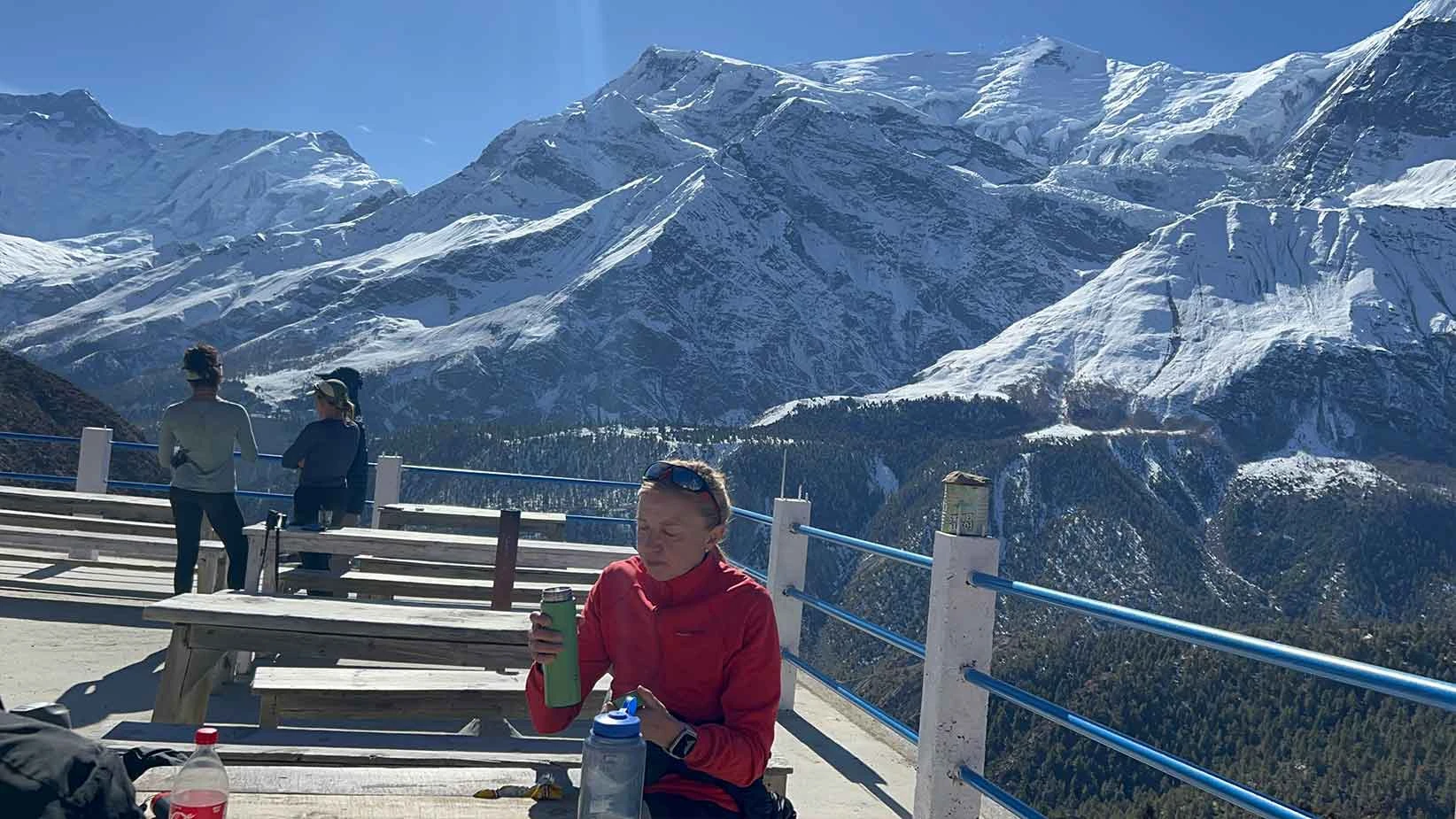
Meanwhile, the communal dining hall is the only heated space in the facility, which locals warm every evening with a central wood- or dried yak dung-burning stove. You must pay extra fees for amenities like hot bucket showers, device charging, and limited satellite Wi-Fi.
Likewise, you will eat hearty, home-cooked meals that emphasize high-carbohydrate foods to sustain you at high altitudes. The teahouse kitchens rely on locally grown crops like barley, buckwheat, and potatoes. You will see the most popular Dal Bhat on every menu, which consists of steamed rice, lentil soup, and seasonal vegetable curry. This staple meal is the most economical choice on the trail, and it always comes with free, unlimited refills.
Also, you can order Tibetan bread, porridge, or eggs for breakfast to kickstart your morning. Likewise, options like Thukpa, noodle soups, vegetable momos, and garlic soup are widely available for lunch and dinner. For specific dietary preferences like vegetarian or vegan, you should communicate clearly with your guide so the hosts can adjust the local ingredients.
Weather Variation of Nar Phu Valley Trek
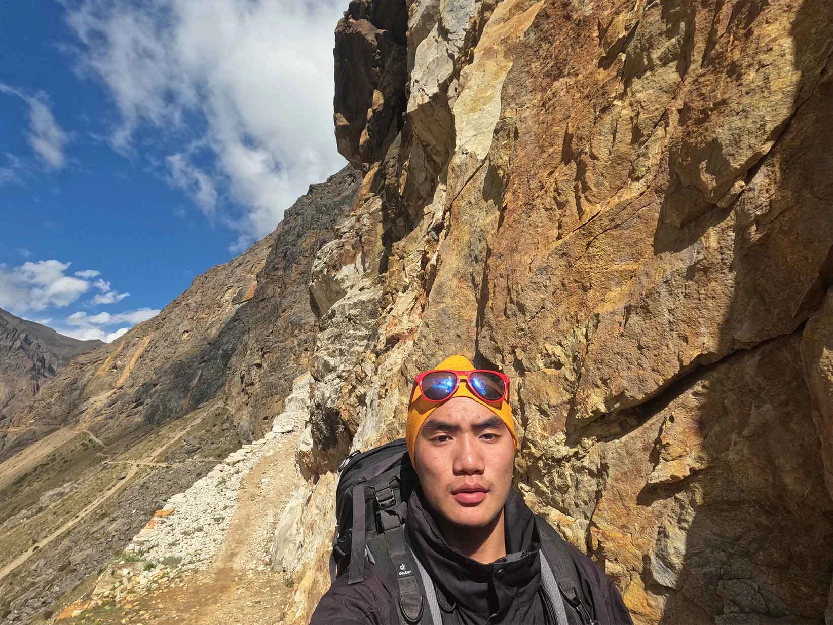
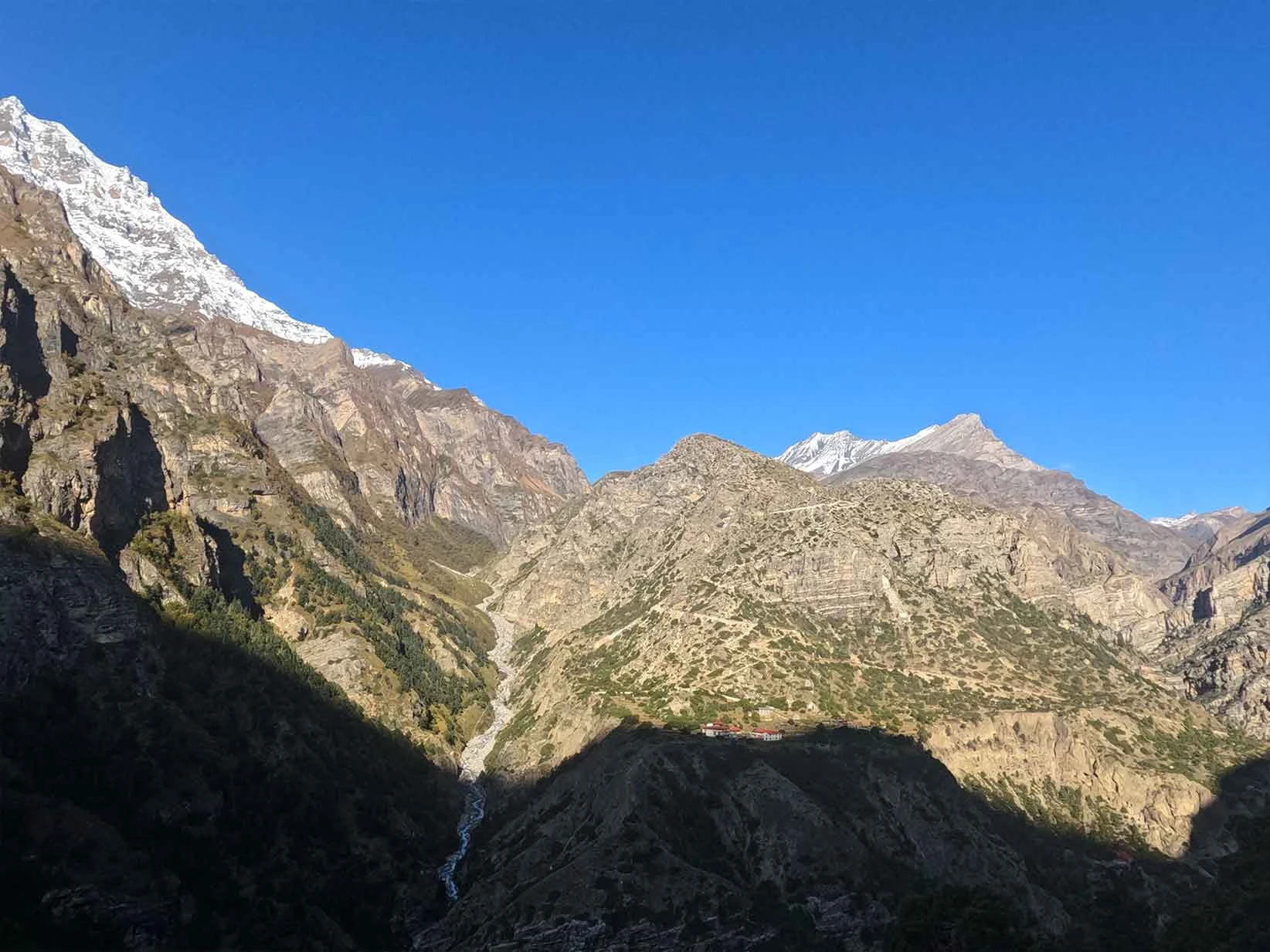
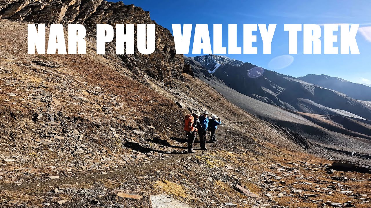
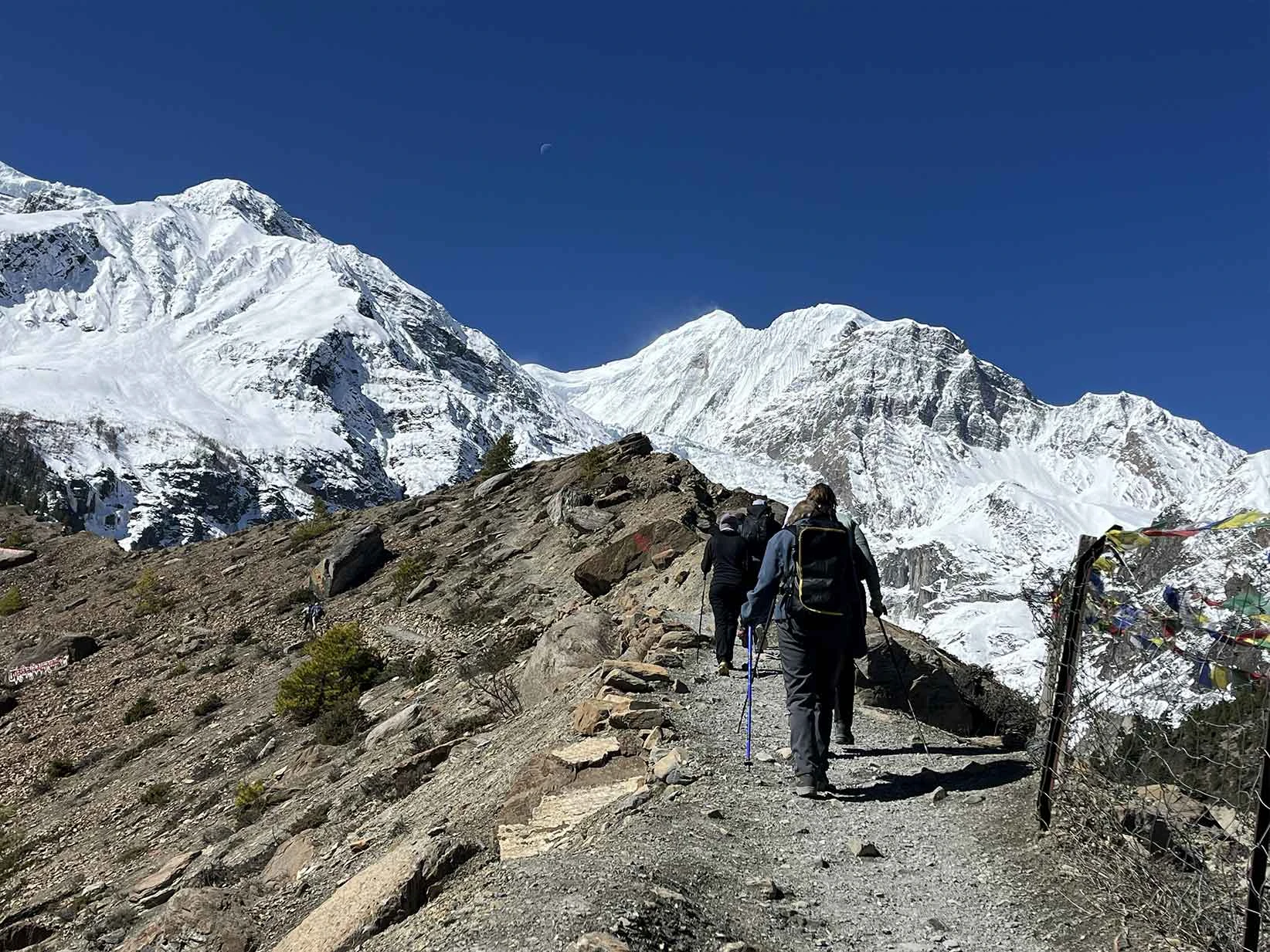
The Nar Phu Valley Trek transitions through drastically different ecological zones, from the deep, forested gorges of Koto to the arid, Tibetan-like landscapes of the upper valley. Since the trail starts at approximately 2,600 m (Koto) and peaks at 5,320 m at the summit of the Kang La Pass, the weather shifts rapidly. Preparing for these severe variations ensures you remain safe and comfortable as you move from the sheltered river canyons to the exposed, windswept high-altitude pass.
Low Altitudes (Koto / Dharapani)
- Winter (Dec–Feb): 0°C to 10°C
- Spring (Mar–May): 10°C to 25°C
- Summer (Jun–Aug): 15°C to 28°C
- Autumn (Sep–Nov): 5°C to 20°C
Mid Altitudes (Meta / Nar Phedi)
- Winter (Dec–Feb): -15°C to 5°C
- Spring (Mar–May): -5°C to 15°C
- Summer (Jun–Aug): 5°C to 20°C
- Autumn (Sep–Nov):-10°C to 15°C
High Altitudes (Phu Gaon / Nar Village / Kang La Pass / Thorong La Pass)
- Winter (Dec–Feb): -25°C to -5°C
- Spring (Mar–May): -15°C to 9°C
- Summer (Jun–Aug): -2°C to 12°C
- Autumn (Sep–Nov):-15°C to 10°C
Best Season For Nar Phu Valley Trek
Choosing the right season, like spring and autumn, for the Nar Phu Valley Trek is crucial for navigating the extremely high-altitude terrain and safely crossing the steep Kang La Pass and Thorong La Pass. You must consider how seasonal visibility, snow accumulation, and freezing temperatures affect your safety as you climb toward the remote, restricted villages.
Spring (March to May):
Spring is an excellent time to visit the Nar Phu Valley trek. During this season, the daytime temperatures are comfortably mild at the lower canyon checkpoints, though you will still encounter freezing, bitter winds at the high villages of Nar and Phu. You find the remote trails slowly waking up after winter hibernation, and the clear morning skies offer sharp views of Himlung Himal before afternoon clouds roll over the trans-Himalayan ridges. Furthermore, the lower trail is full of blooming rhododendron flowers. So, you get to trek while enjoying flowers.
Autumn Season (September to November):
During the autumn season, you enjoy the absolute sharpest visibility and most stable weather, which is vital for the grueling, exposed push over the 5,320 m Kang La Pass and 5,416 m Thorong La Pass. The dry, deep blue skies offer a perfect backdrop for observing the preserved Tibetan culture, and the highly predictable conditions make it the safest window for reaching the high-altitude settlements. While the nights at Phu and Nar camps drop well below freezing, the dust-free mountain views and safe pass crossings are at their absolute best.
Why Nar Phu Valley Feels More Remote Than Upper Mustang
You might expect Upper Mustang Trek to feel like the ultimate isolated kingdom, but the reality on the ground has changed. Upper Mustang now features a dirt road that runs all the way from Jomsom to the Chinese border, allowing jeeps and motorbikes to kick up dust along the trail. This development has brought modern connectivity, shops, and vehicles directly into the ancient villages.
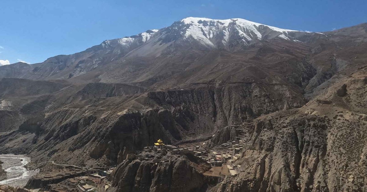
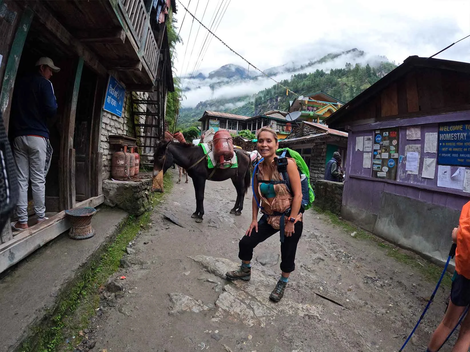
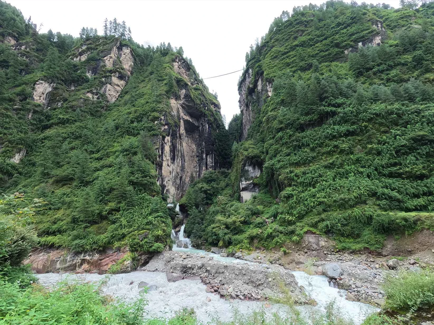
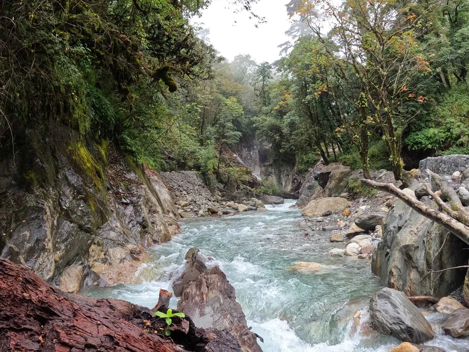
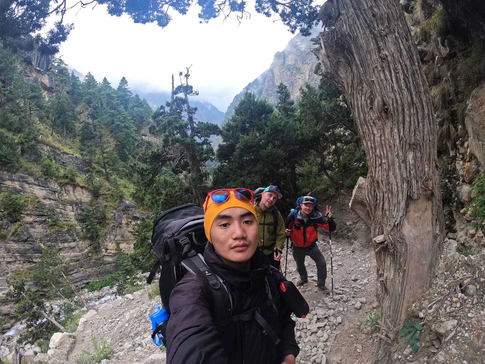
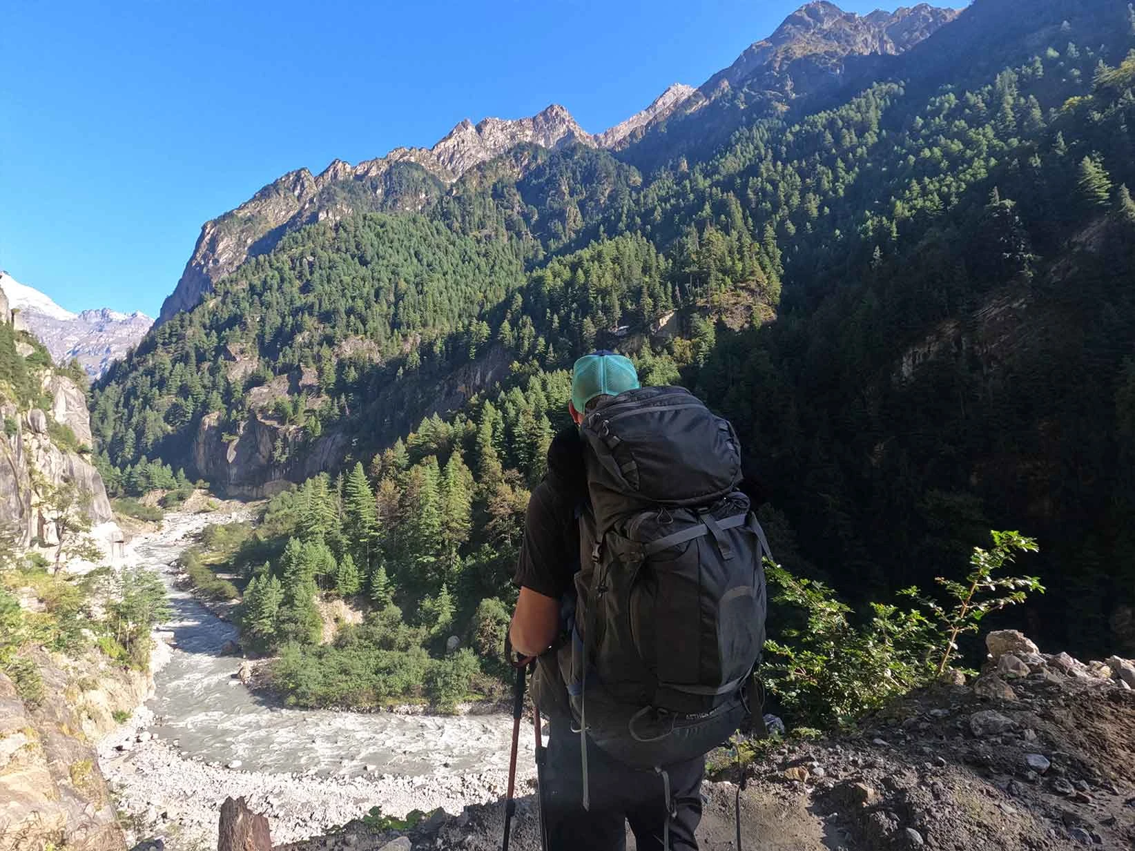
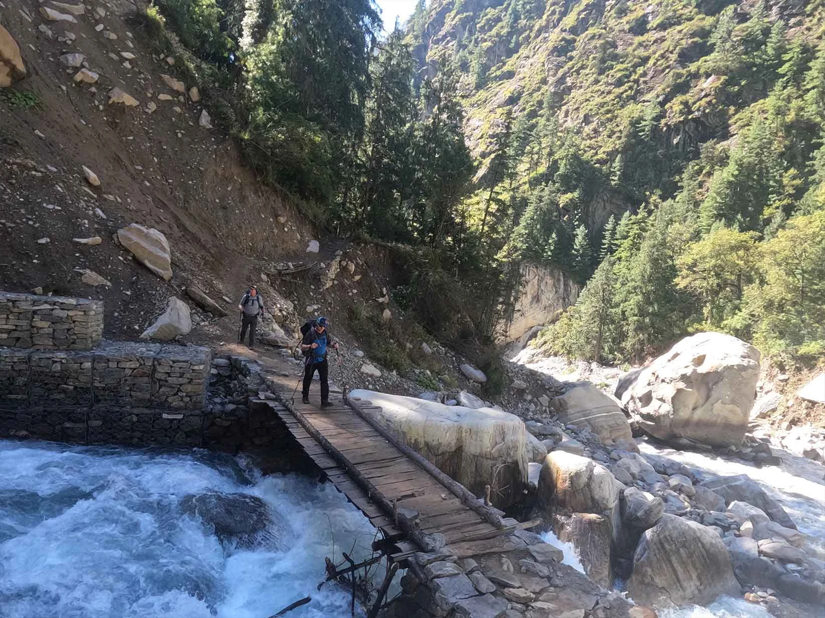
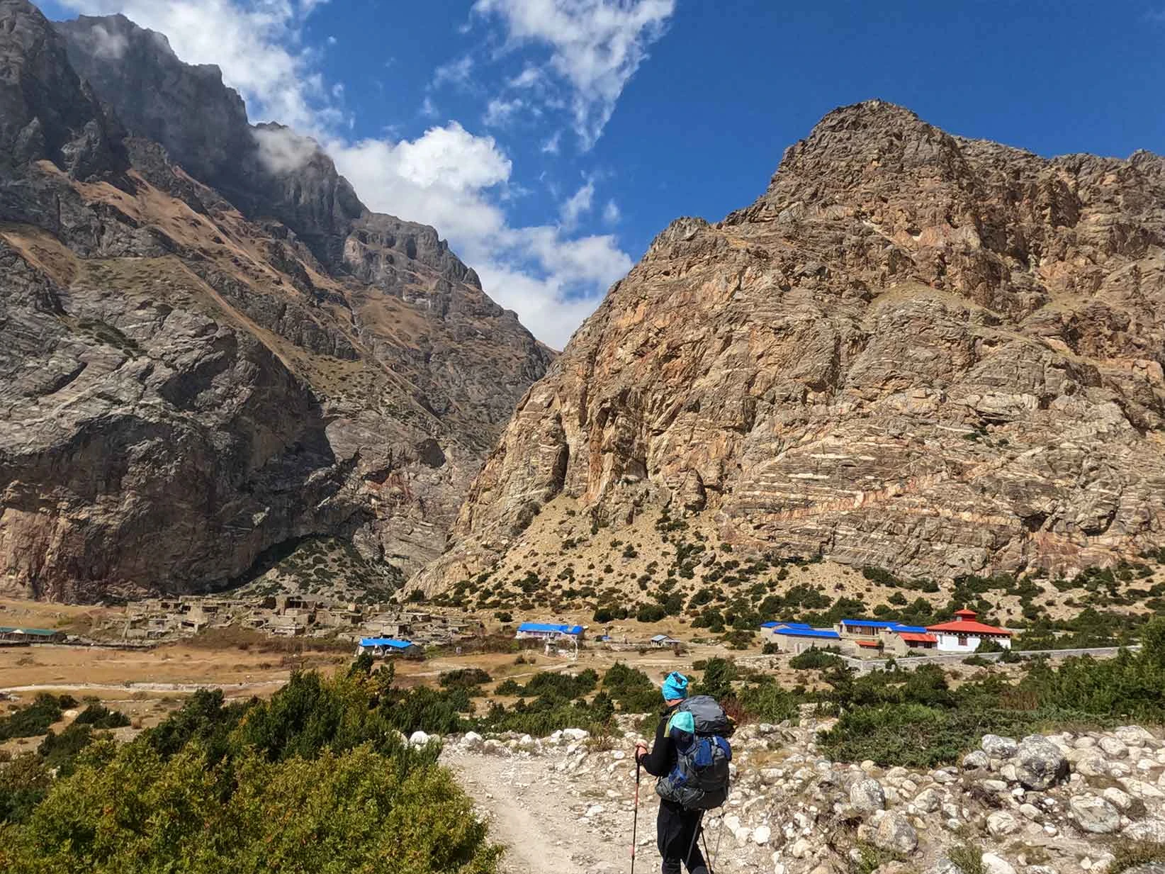
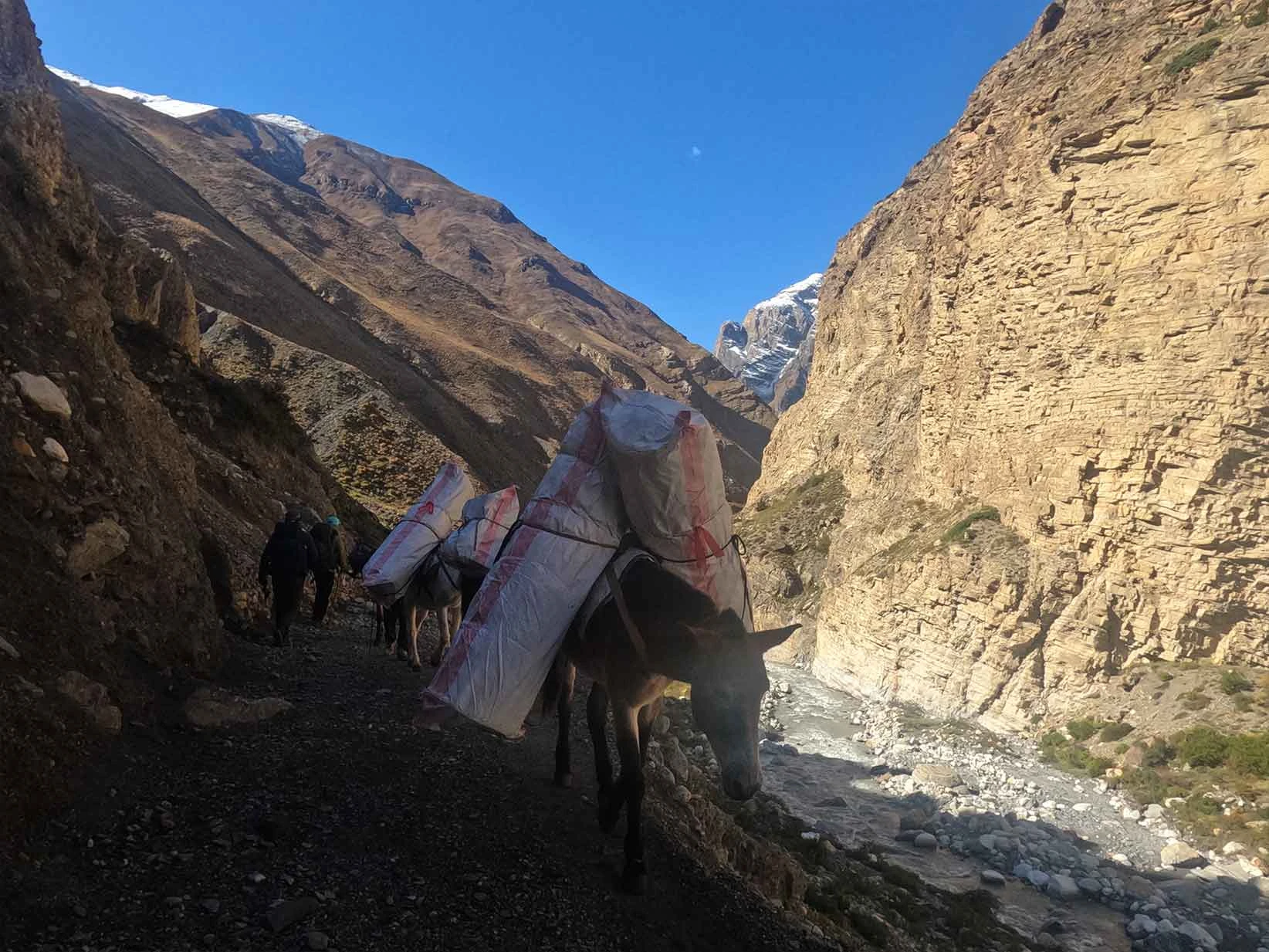
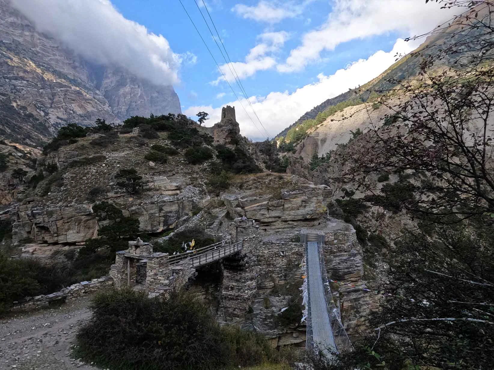
Meanwhile, the Nar Phu Valley remains completely cut off from vehicle access. The moment you cross the bridge at Koto, you leave the roads behind and enter a narrow, towering river gorge where your only option is to walk. There are no motorbikes or trucks here, only the sound of the river and the steady rhythm of your boots on mule tracks. This lack of road infrastructure completely shapes your psychological experience in Nar Phu.
You will feel a deep sense of vulnerability and true isolation because there is no quick vehicle backup if you get tired or face bad weather. The villages of Nar and Phu are tightly clustered, stone-walled fortresses hidden behind massive cliffs, looking exactly as they did centuries ago. Unlike Upper Mustang, which sees a steady flow of jeep tourists, Nar Phu requires you to earn every kilometer through physical exertion. You walk through deep canyons that block out the horizon, creating a raw, enclosed atmosphere that makes you feel entirely disconnected from the modern world.
Checkpoint Locations During the Nar Phu Valley Trek
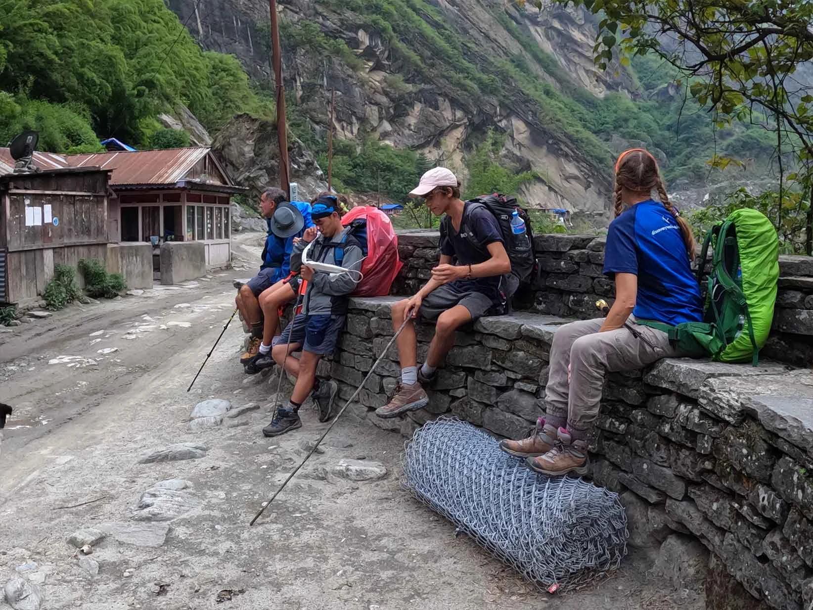
You must navigate multiple highly regulated government checkpoints because the Nar Phu Valley lies within a strictly monitored, sensitive border zone near Tibet. The main gateway to the restricted region begins at the village of Koto, located just off the busy Annapurna Circuit trail. At this critical checkpoint, police officers and conservation officials will thoroughly inspect your paperwork to ensure you hold a valid Nar Phu trek permit, such as a Restricted Area Permit (RAP), alongside your Annapurna Conservation Area Project (ACAP) permit.
You cannot pass this gate alone, as the law requires you to travel with a government-licensed guide mandatorily. Your guide will manage the physical documentation at every official stop while you wait briefly at the checkpoint gates. After leaving the main river canyon, you will face another mandatory check post at Meta, which handles the transition into the wilder, upper alpine valley.
This administrative post monitors all traffic moving toward the isolated high-altitude stone villages of Nar and Phu Gaon. Also, additional checkpoints are located further down the route at major transit hubs like Besisahar, Dharapani, and Manang to cross-reference your entry and exit dates. You must carry physical copies of your permits and passport at all times, as remote digital scanners often lose connectivity in these deep mountain gorges.
Nar Village vs Phu Village Cultural and Architectural Differences
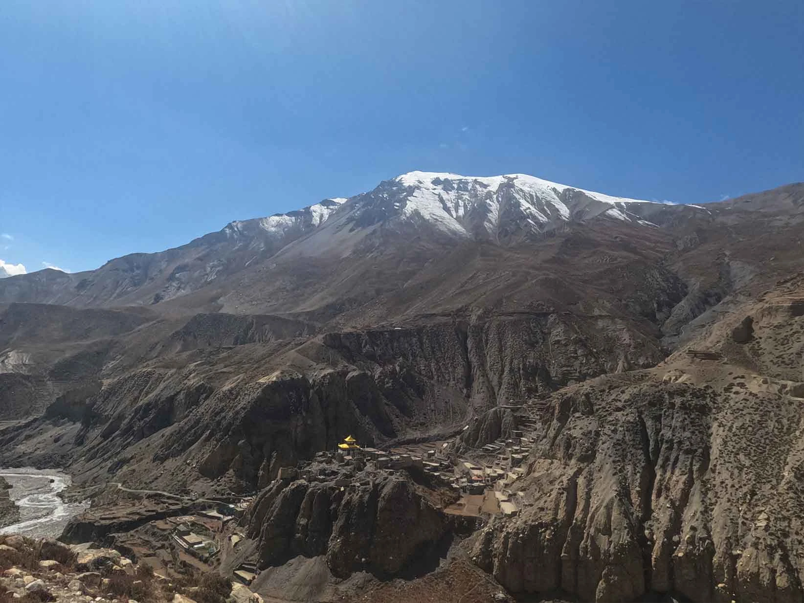
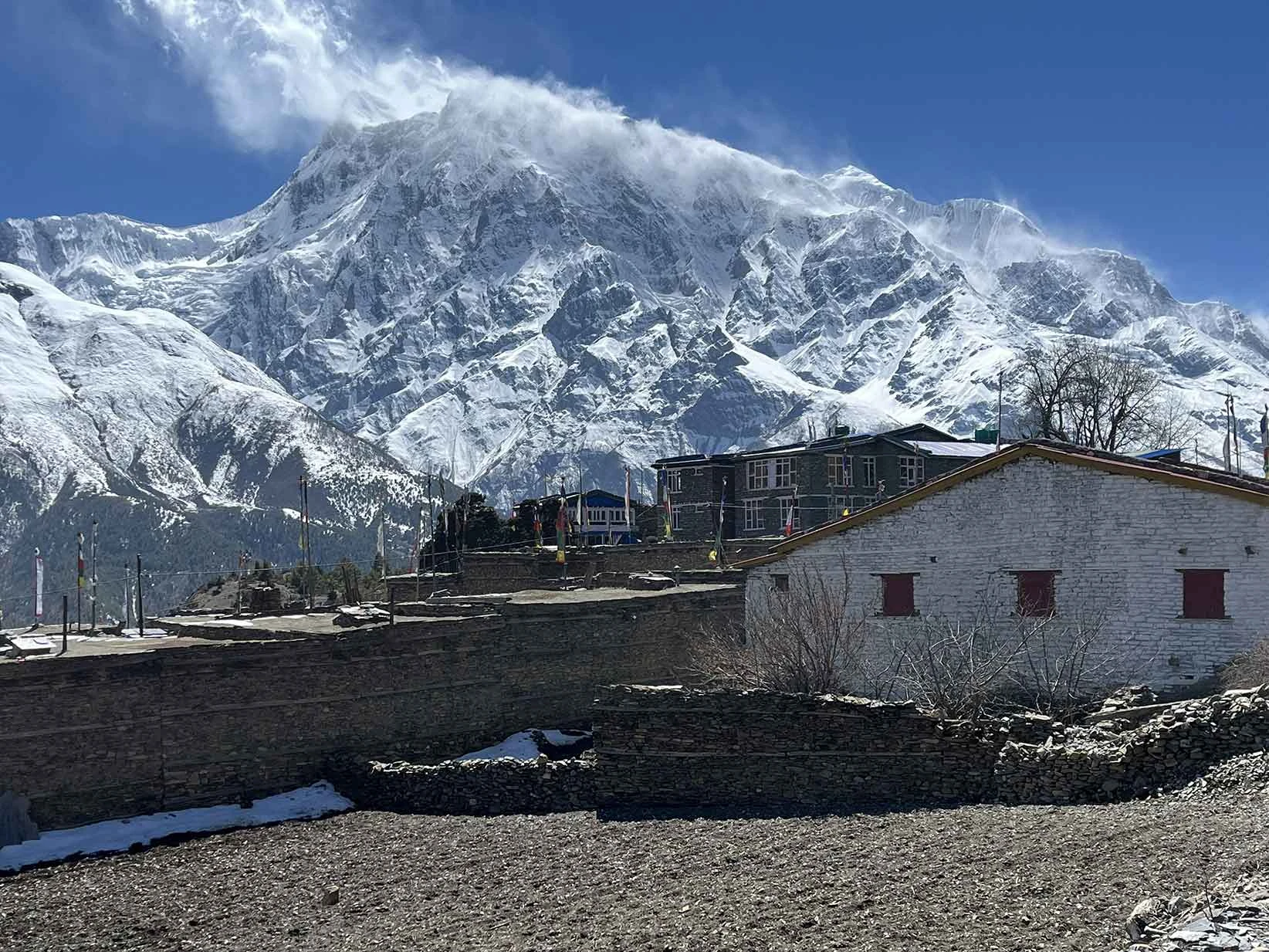
The culturally distinct Nar and Phu Villages present fascinating architectural variations shaped by their specific geographic isolation and ancient Tibetan heritage. Nar Village, sitting slightly lower in elevation, features a closely knit grid of traditional stone houses characterized by their distinctive flat, mud-plastered roofs. These roofs are strategically designed to act as communal courtyards and essential drying platforms for barley and wild herbs before the harsh winter sets in.
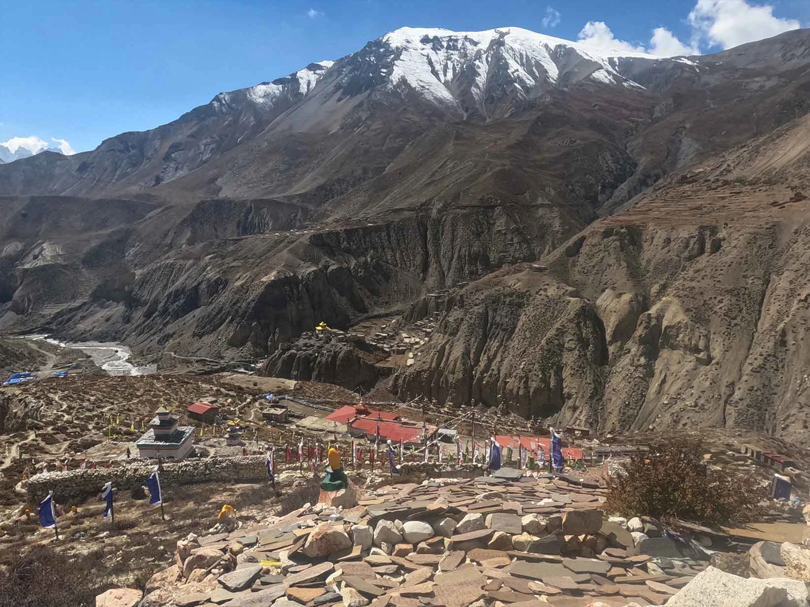
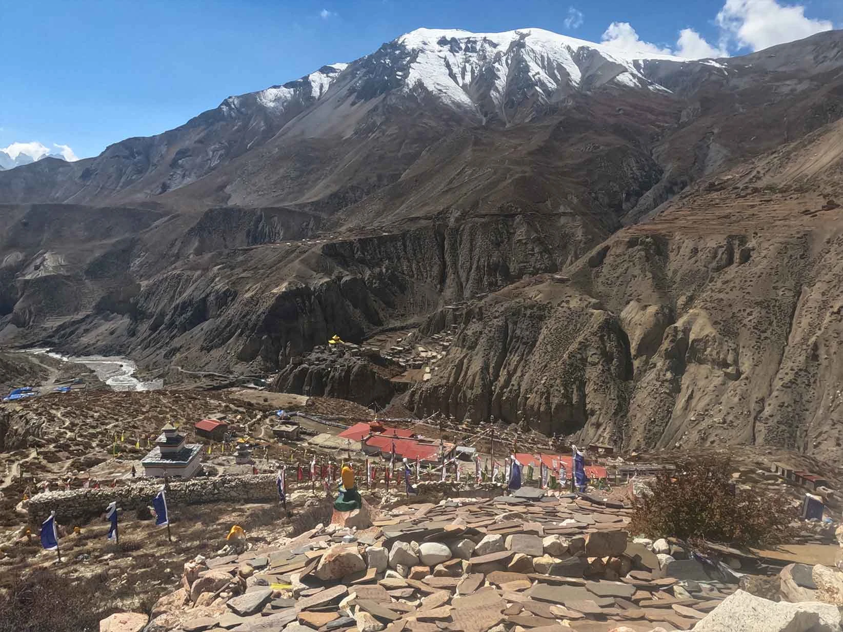
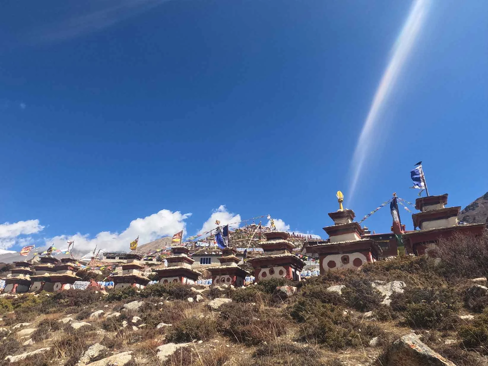
Phu Village, by contrast, is a vertical marvel built directly into a steep, rocky hillside. The architecture in Phu utilizes gravity and the natural terrain, with fortress-like stone structures stacked on top of one another, connected by narrow wooden ladders and stone tunnels that originally served as a defensive shield against invading bandits.
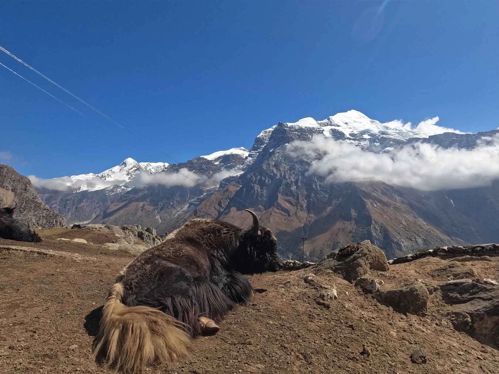
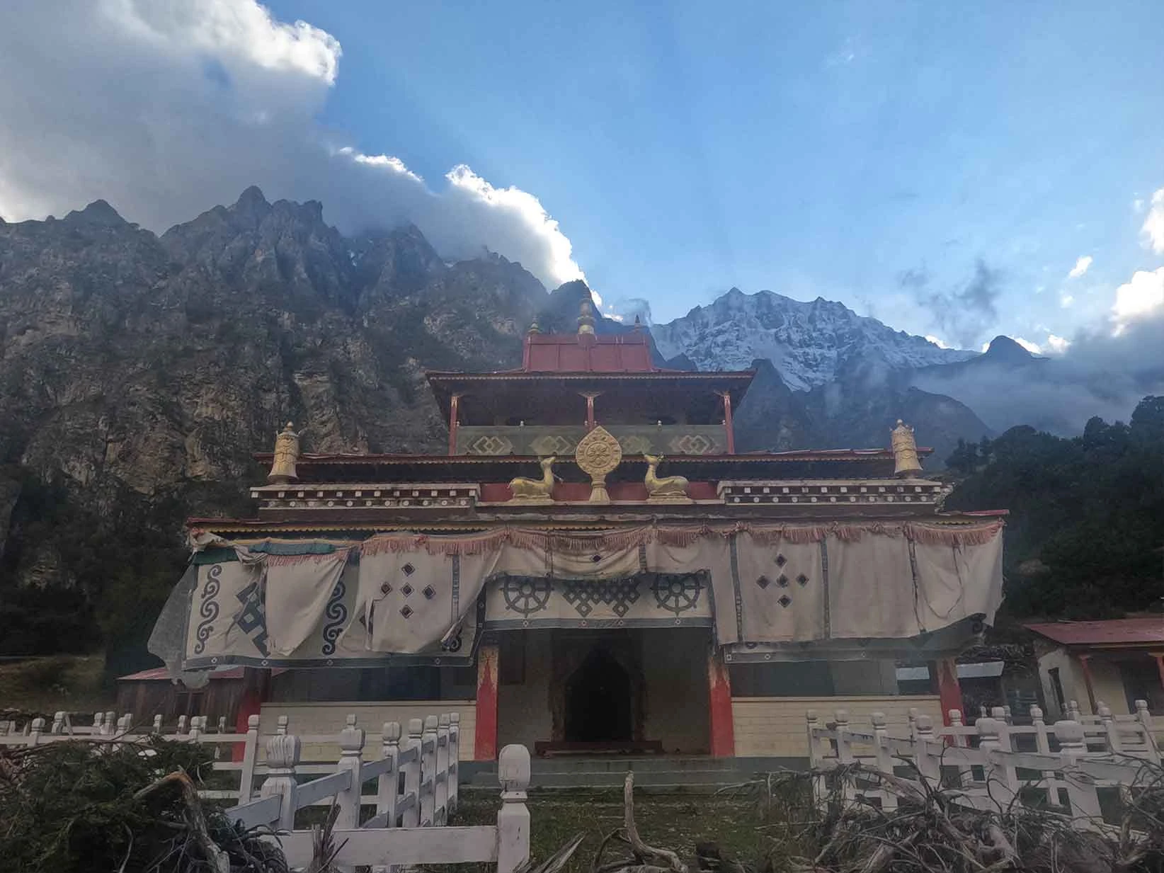
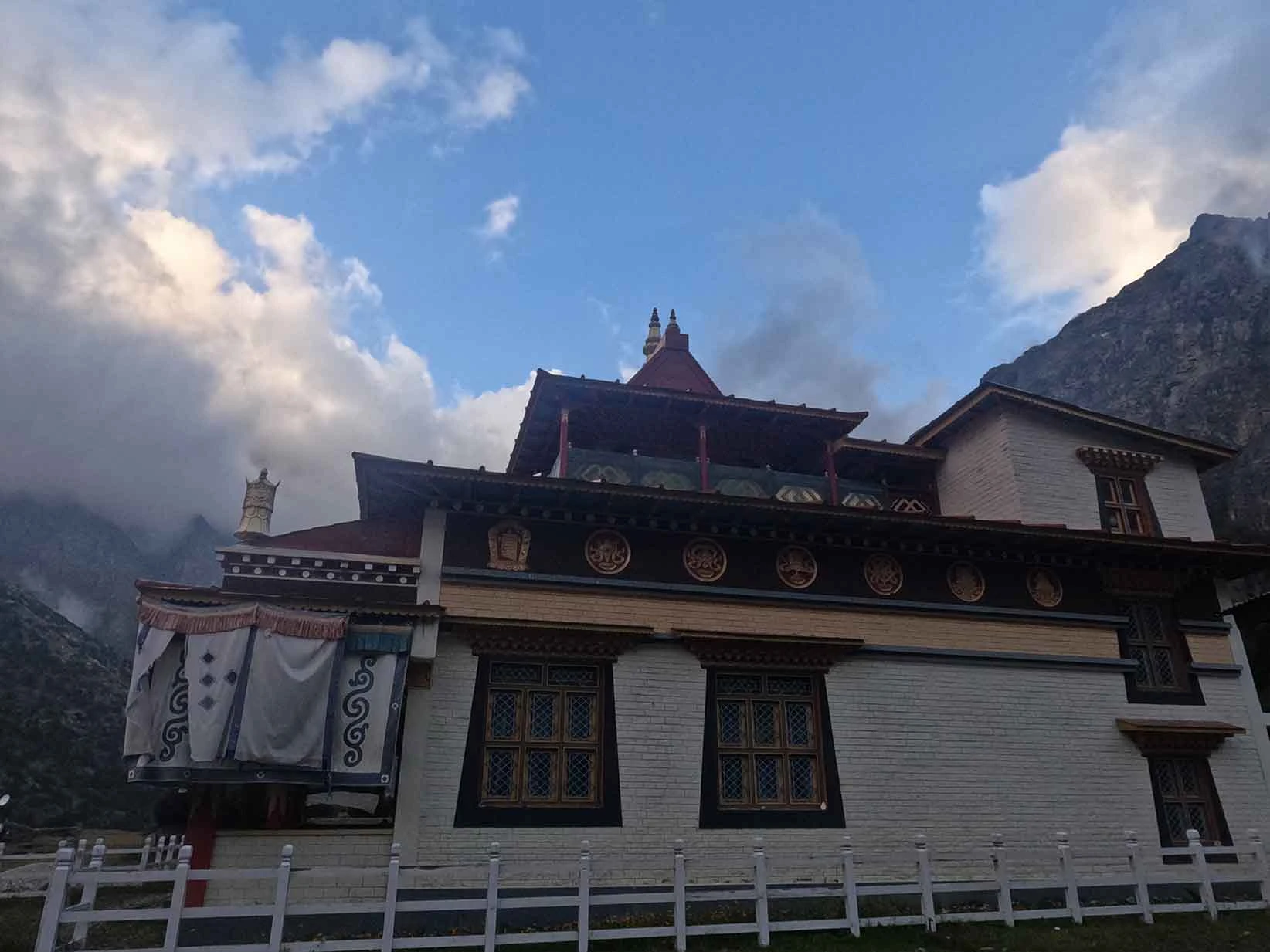
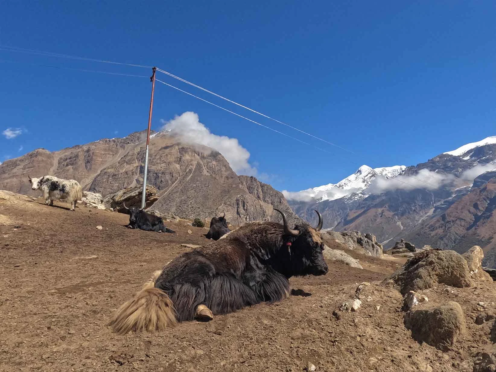
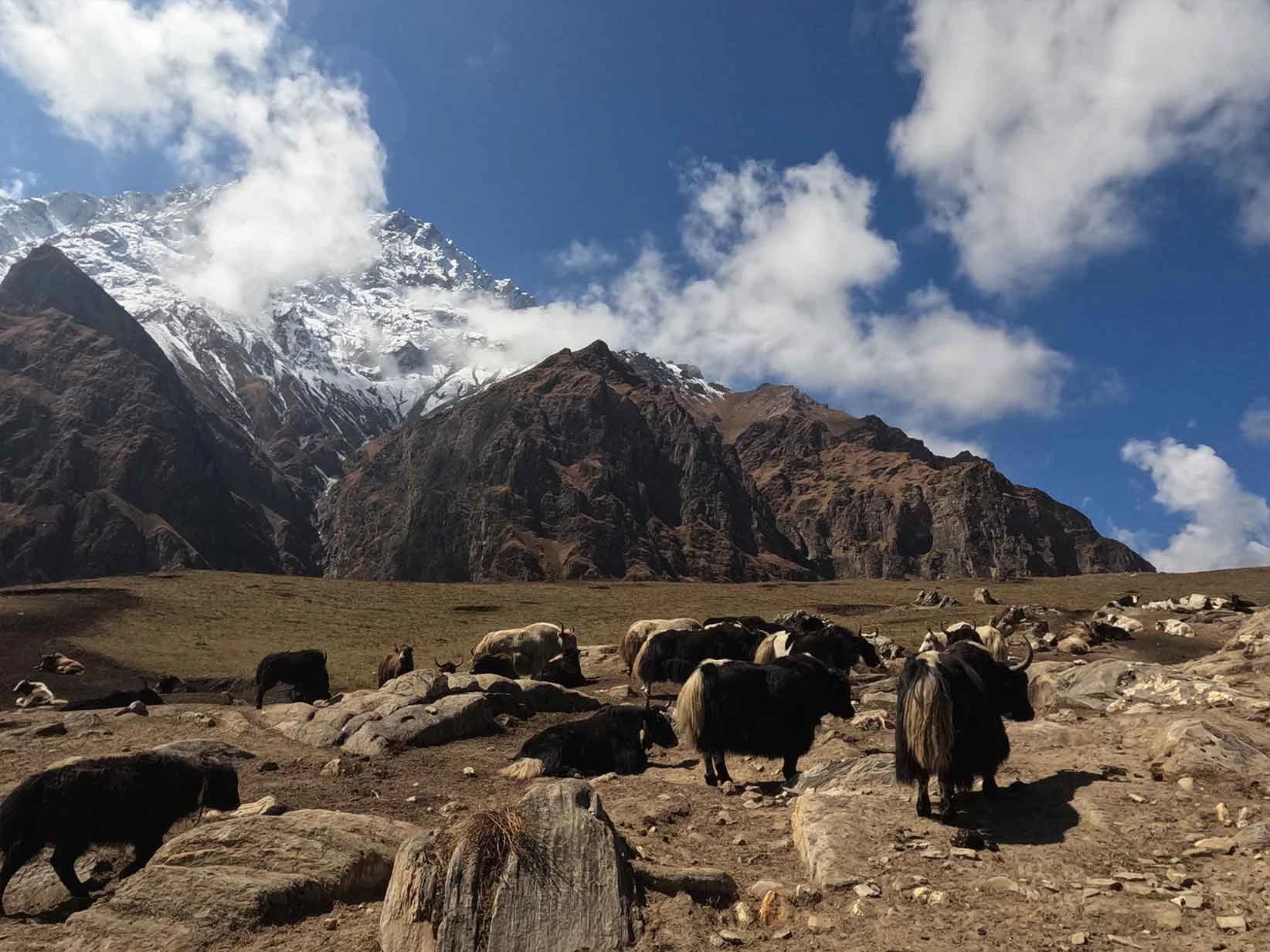
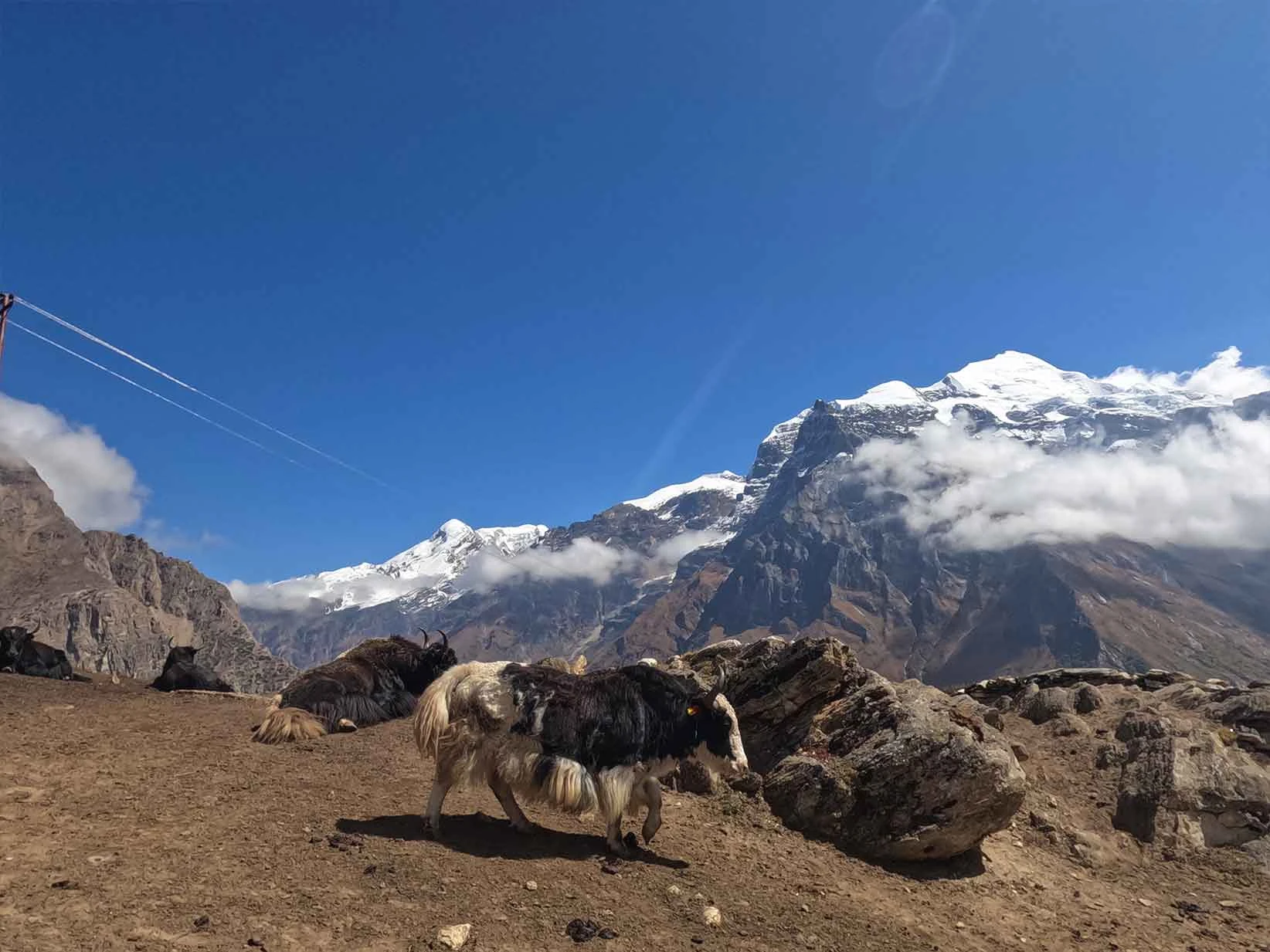
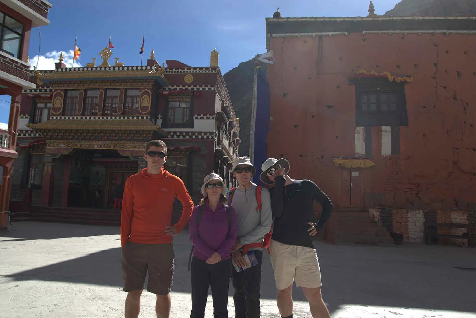
It reflects a past where security was the priority. Phu sits at a higher altitude and has a harsher climate. Consequently, the lifestyle here is more austere and relies heavily on yak herding. The architecture feels raw and imposing. The famous Tashi Lhakhang Monastery dominates the ridge and reinforces the ancient, isolated spiritual energy of the valley.
What Crossing Two High Passes: Kang La and Thorong La Pass Actually Feels Like?
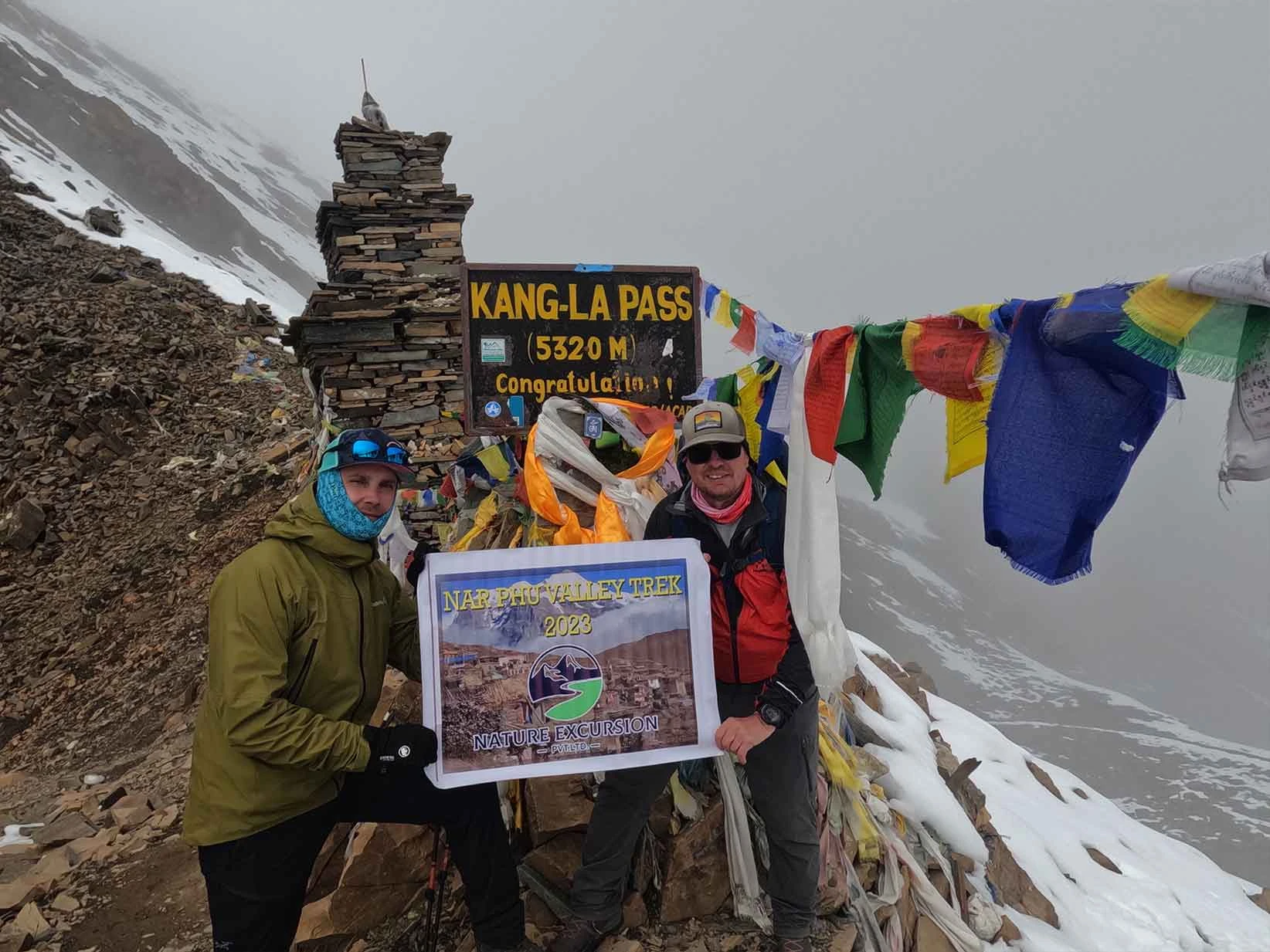
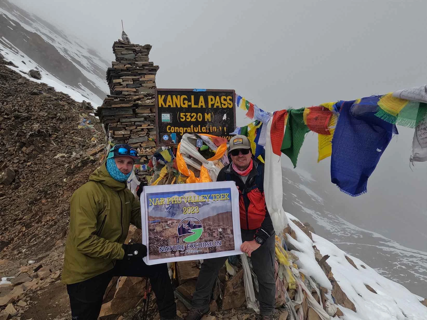
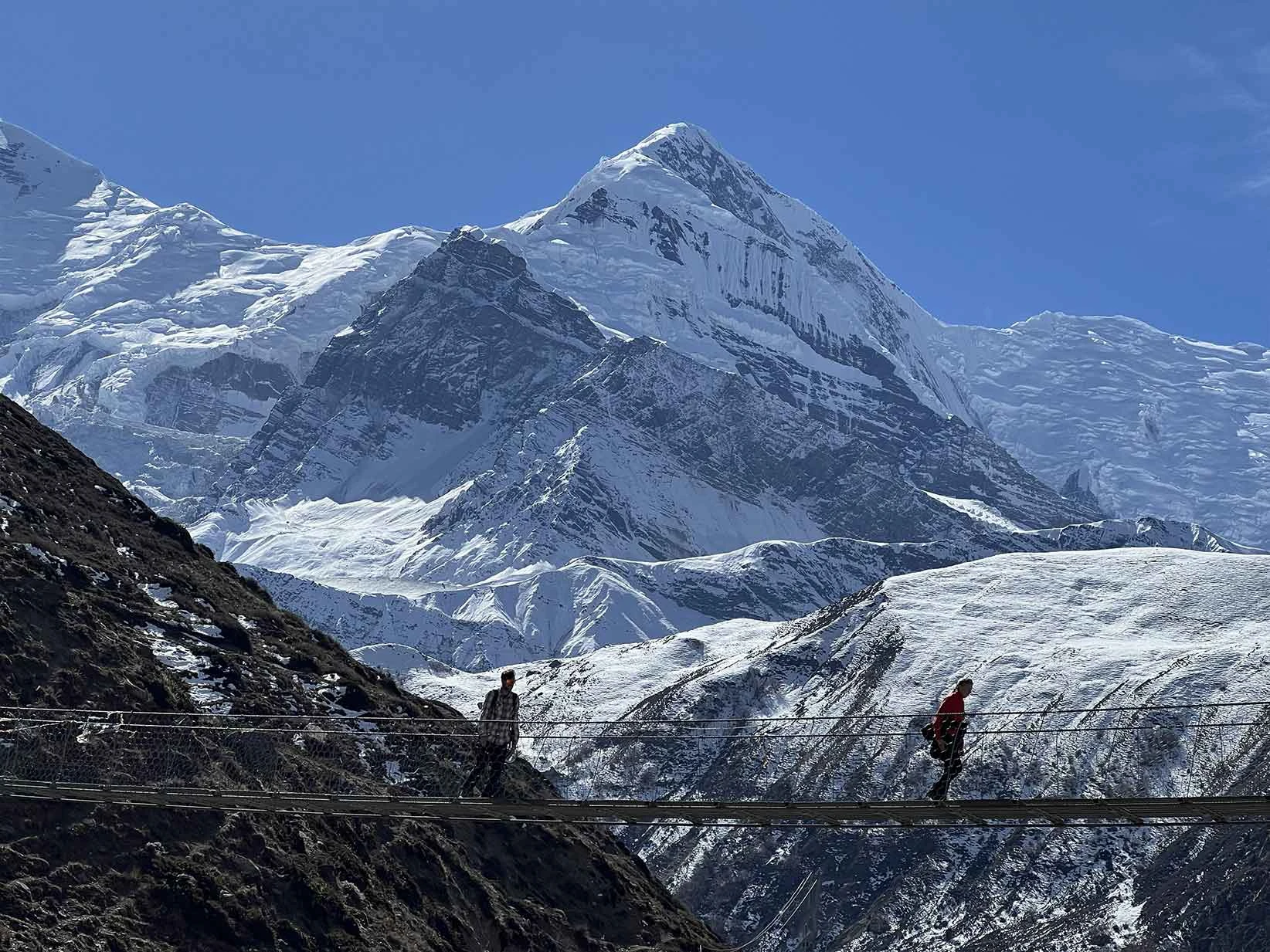
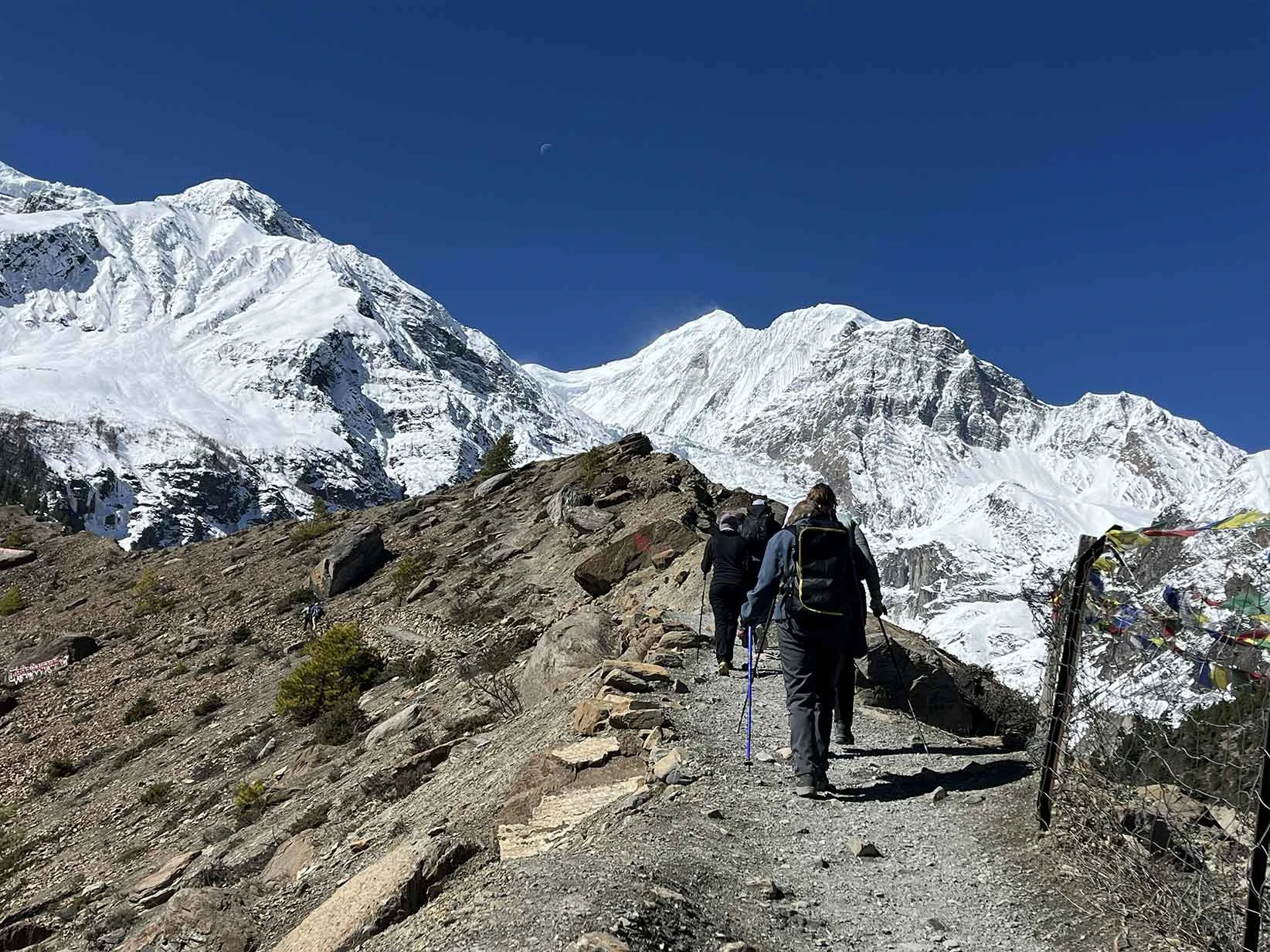
Crossing two high passes on a single trek in Nepal demands physical endurance and mental grit. Understanding the Nar Phu trek difficulty becomes essential as you face Kang La Pass first at 5,320 m. The approach is steep and forces you to find a slow, rhythmic pace on loose scree. Wind blasts the ridge, but the view of the Annapurna range rewards your effort. This pass tests your knees on the long, steep descent toward Ngawal. Throughout the trek, the terrain challenges your balance and your lungs. You cannot rush this process, because the altitude dictates every step you take.
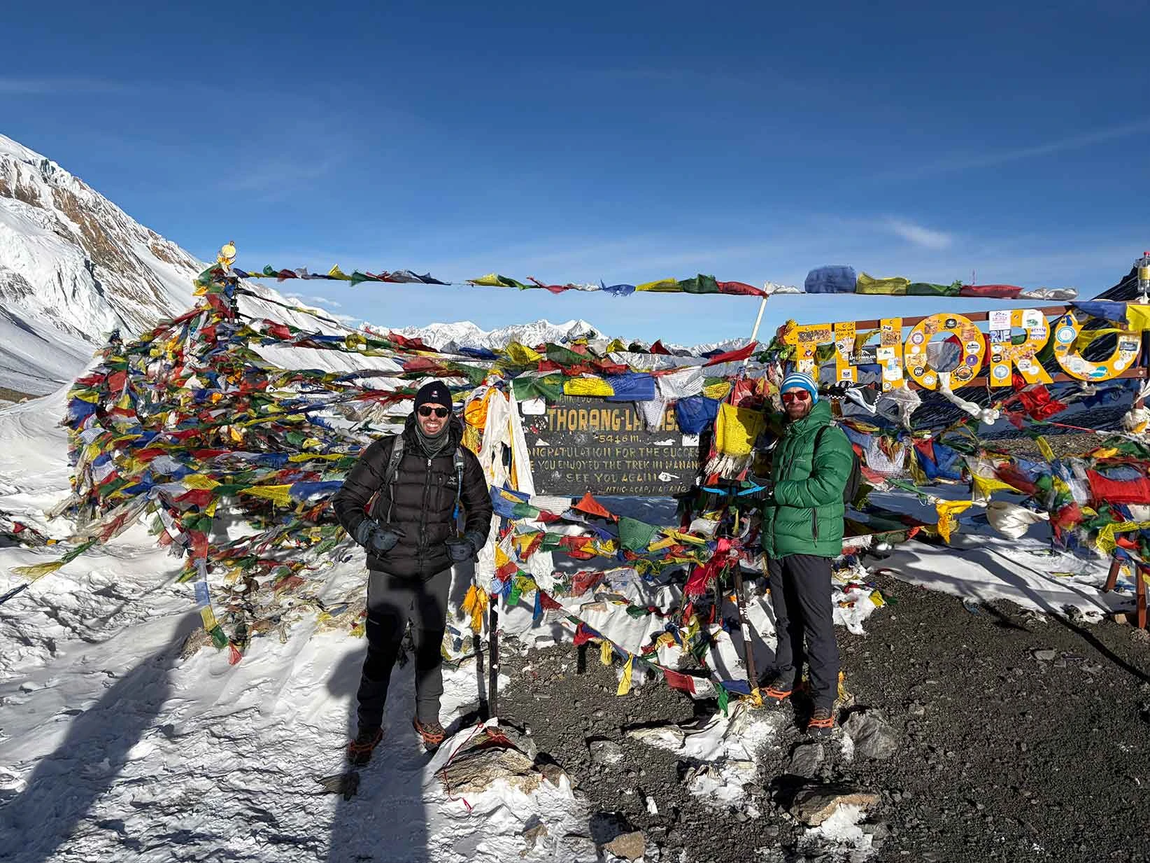
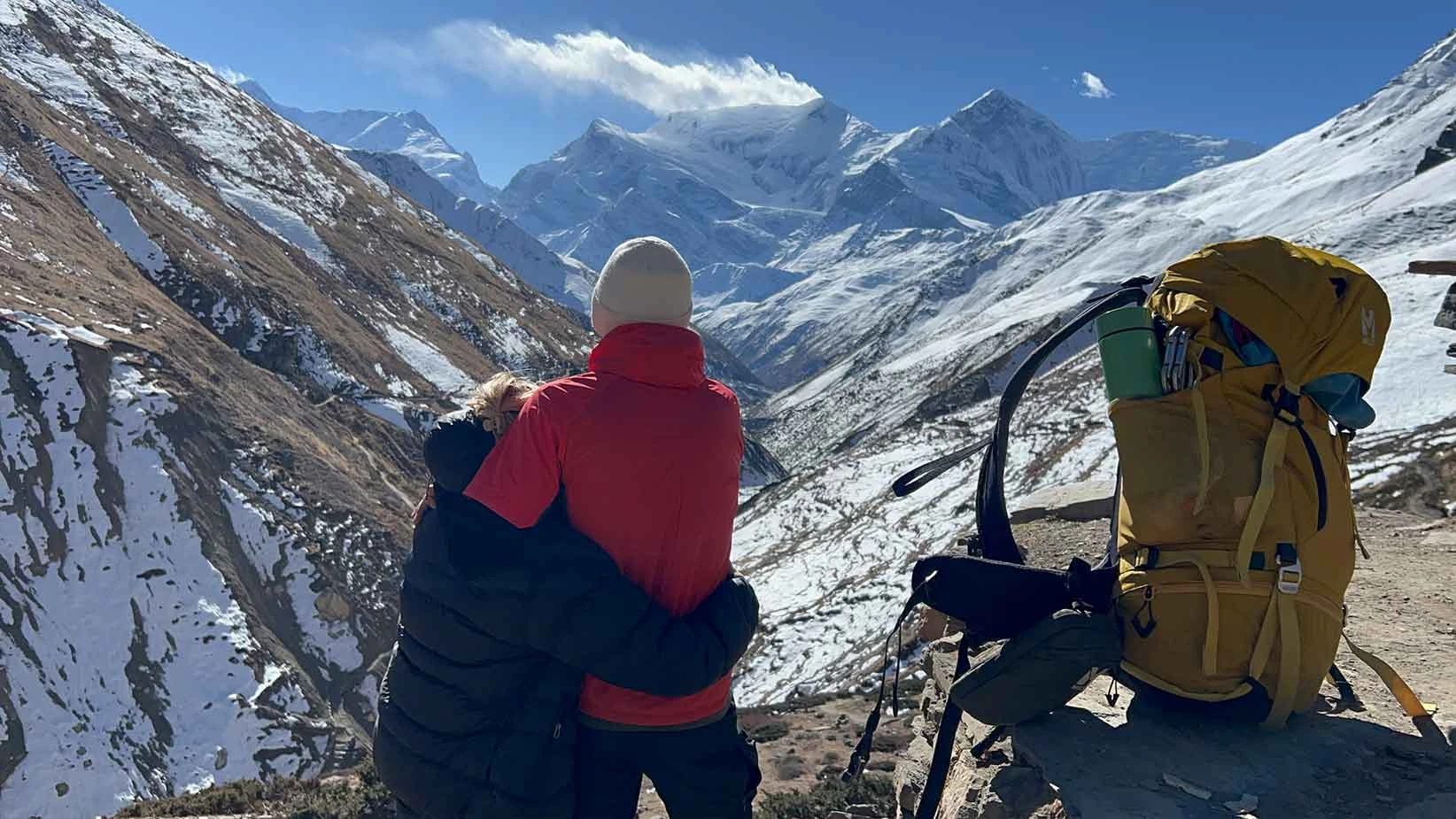
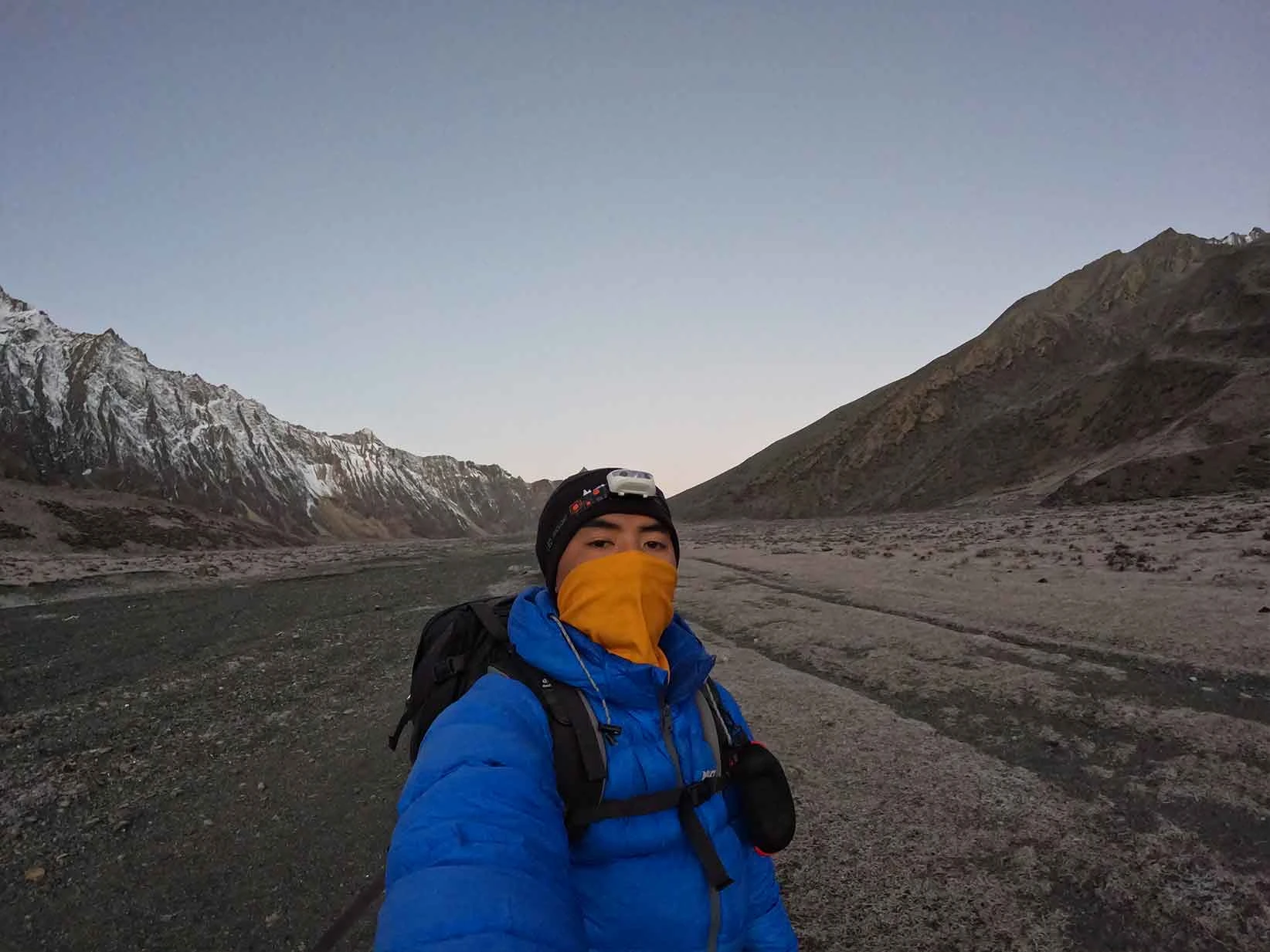
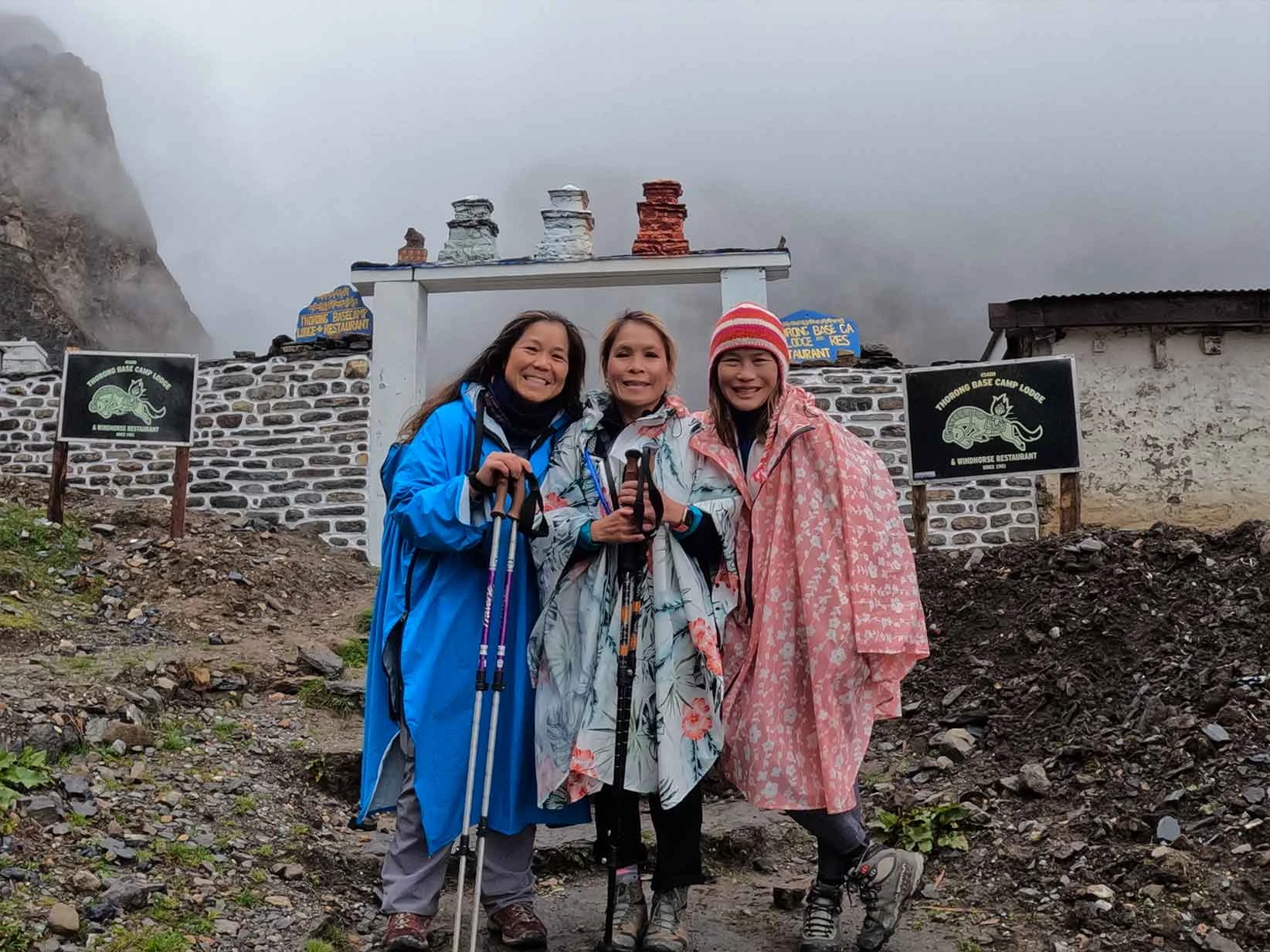
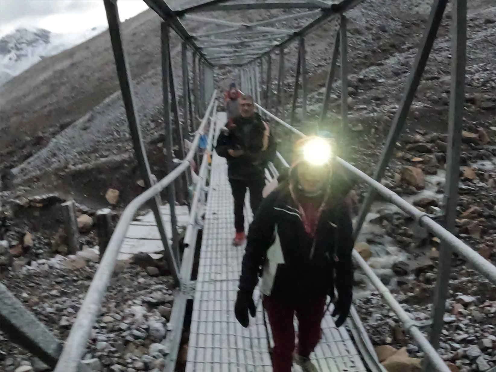
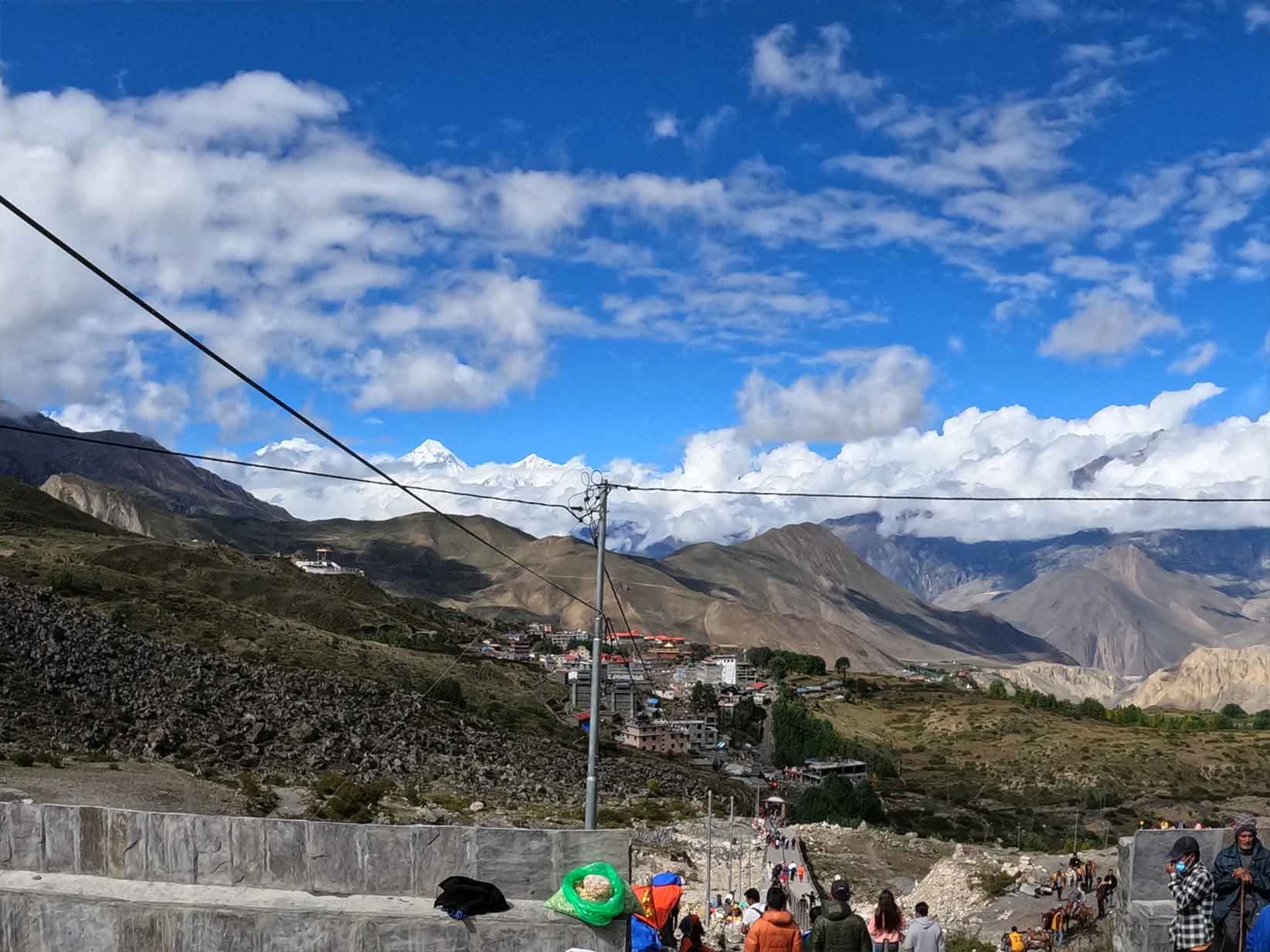
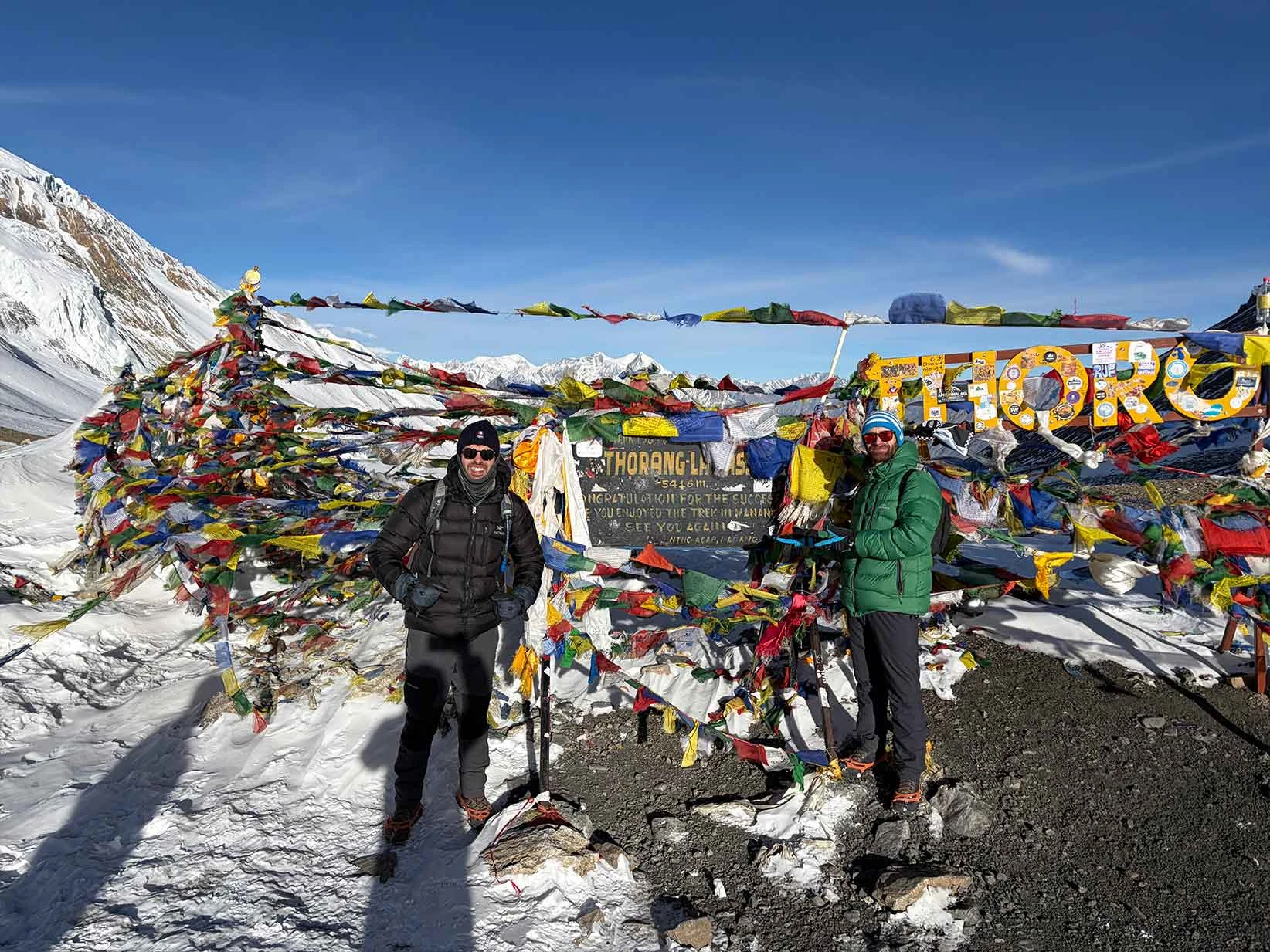
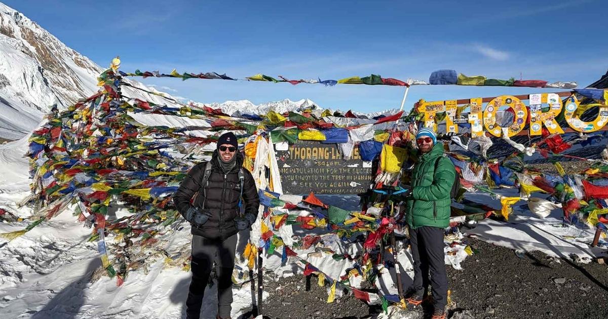
Thorong La Pass presents a different obstacle at 5,416 m. This section of the trekking trail requires a pre-dawn start from High Camp. You walk by the light of your headlamp in freezing temperatures. The air feels thin, and each step requires deliberate effort. Unlike the steep scree of Kang La, Thorong La is a long, grinding ascent over snow and rock. Reaching the top brings a sense of relief before the grueling 1,600 m descent to Muktinath. This combination of passes shows you the true, unyielding character of the Himalayas.
Best Photography Locations in Nar Phu Valley Trek
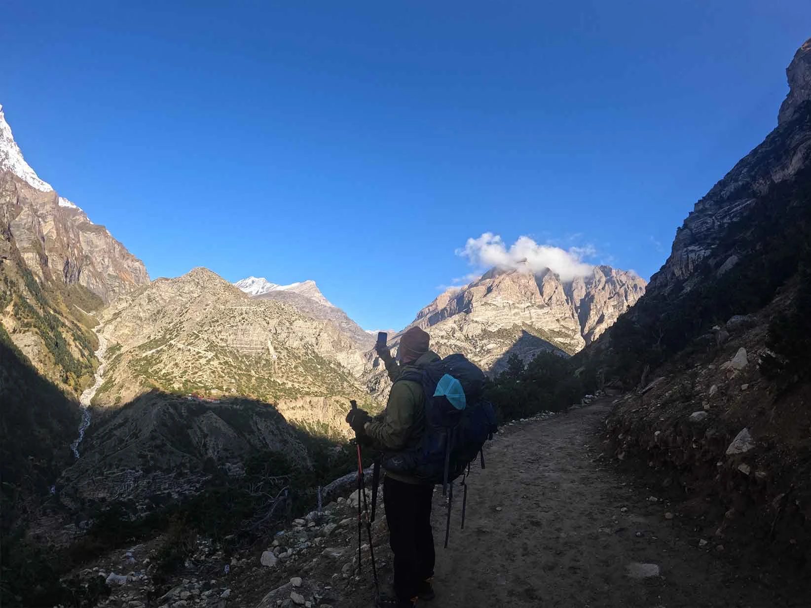
Capturing the raw essence of this restricted region requires understanding where the light hits the landscape best. The terrain transitions quickly from deep river gorges to wide alpine plateaus. You need to plan your shots around the harsh mountain shadows and the stark Tibetan architecture. The approach to Phu Village provides your first major landscape composition. A traditional red-and-white stone gateway, known as a kani, frames the entrance to the valley. Position your camera here to capture the stark contrast between the stone structure and the barren, wind-carved cliffs in the background.
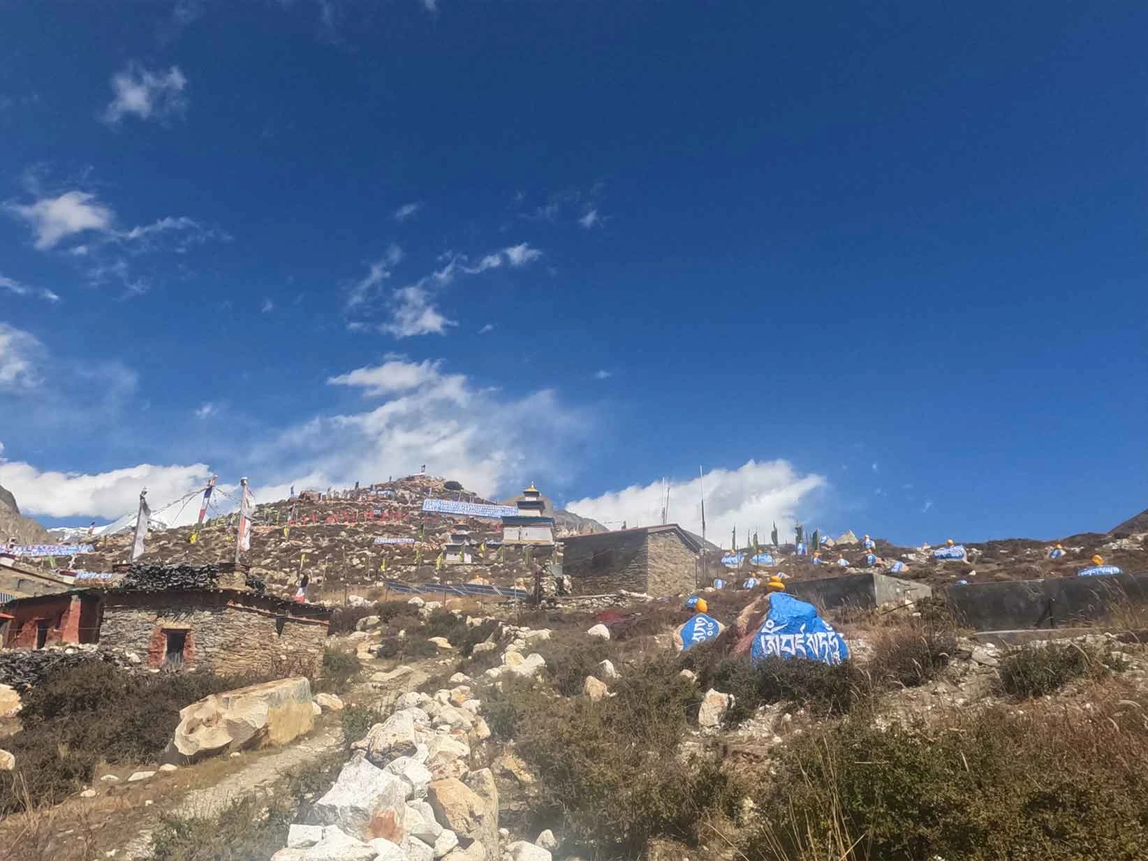
Nar Village offers a completely different visual scale compared to the vertical cliffs of Phu. The valley here is wider, allowing for expansive landscape photography. The best location for sunrise shots is the long mani wall decorated with blue and white stones just outside the village. The early morning light hits the surrounding fields of barley and the distant peaks of Kang Guru first, while the village remains in soft shadow.
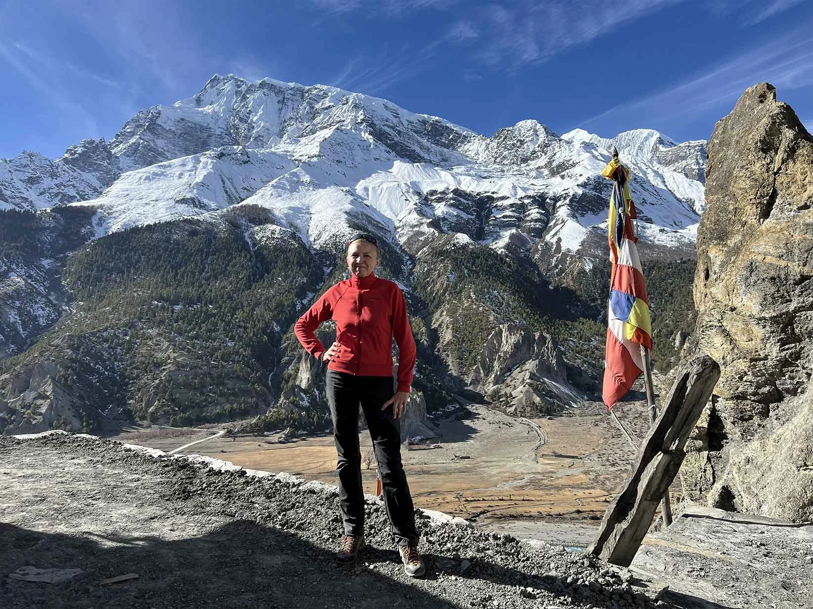
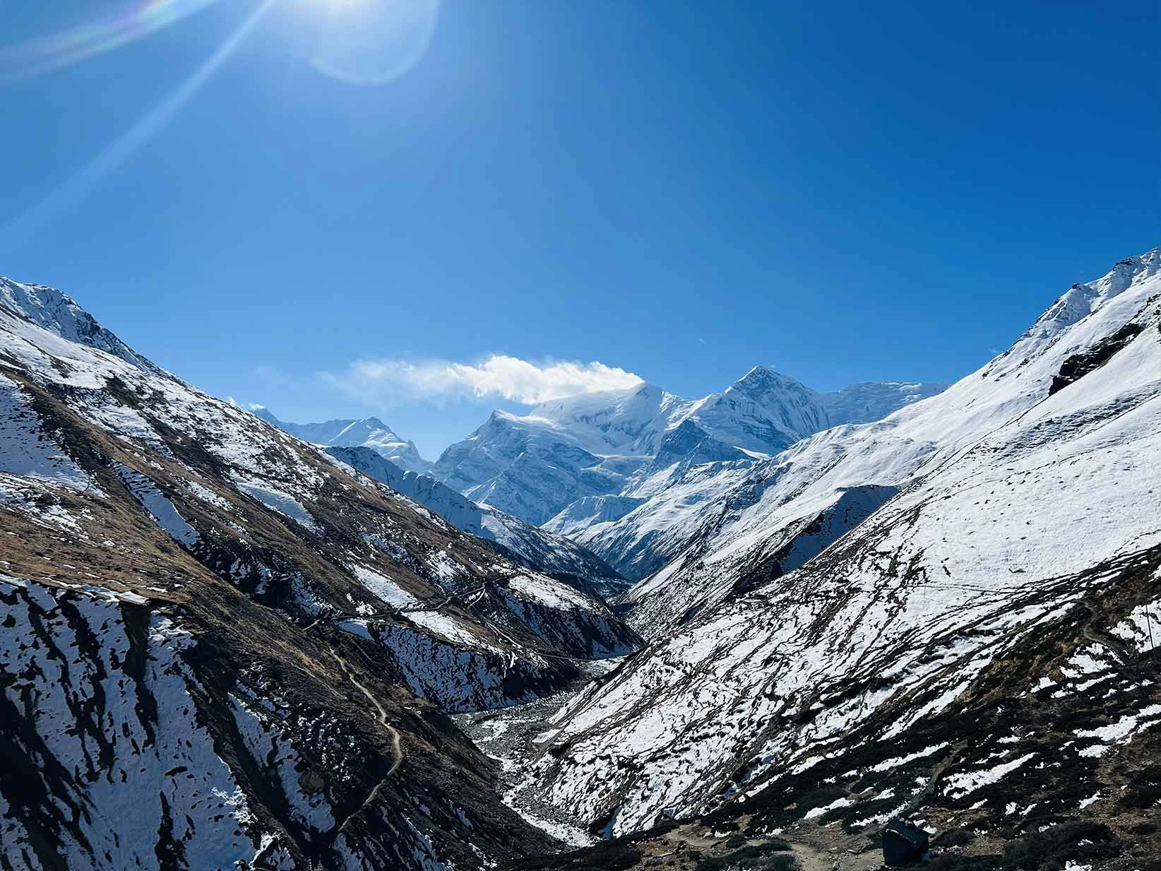
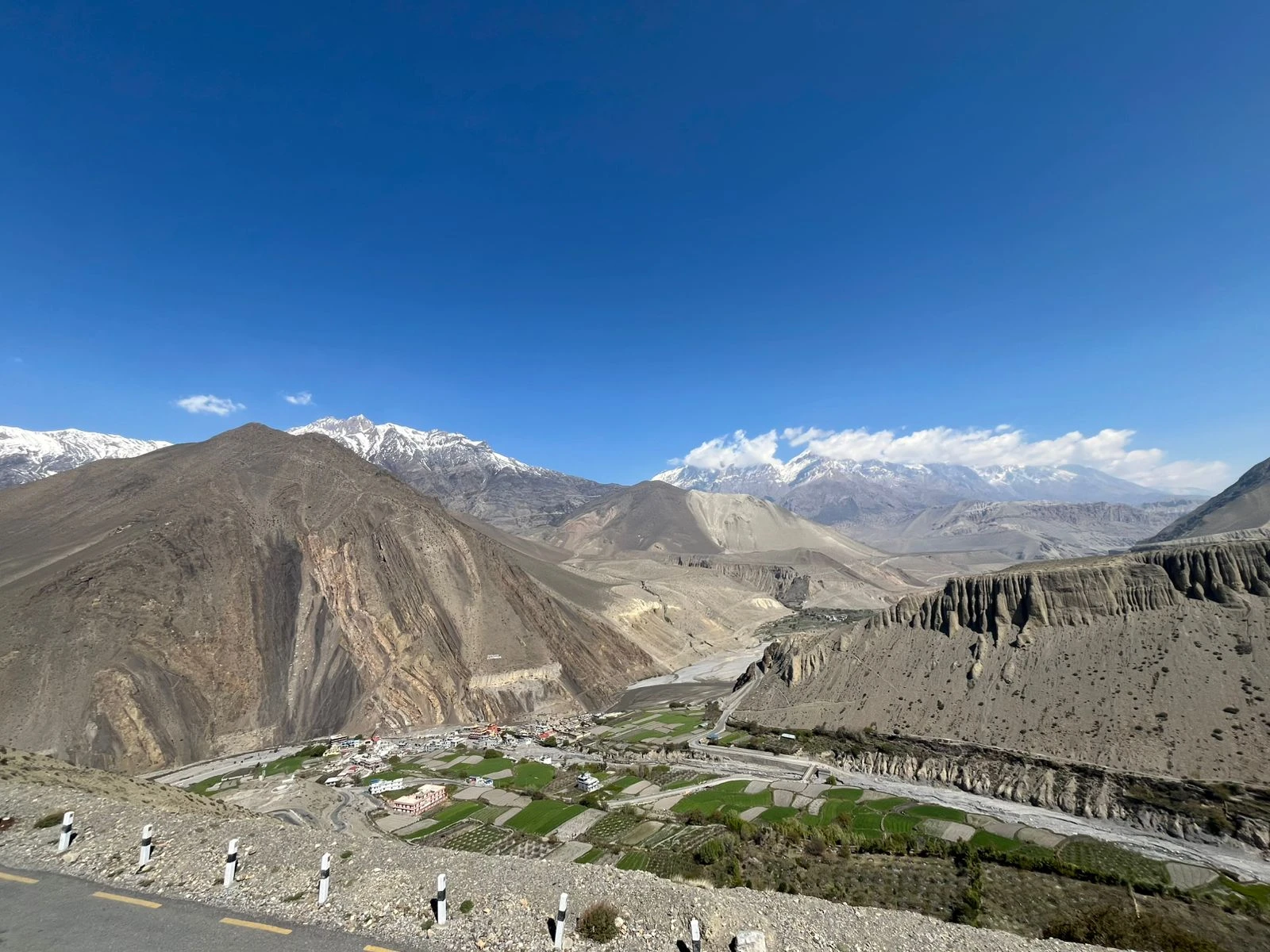
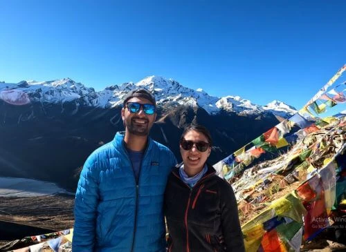
Standing at 5,320 m, Kang La Pass delivers the most dramatic high-altitude panorama of the entire trek. The ascent is demanding, but the summit offers uninterrupted 360-degree views of the Annapurna Massif, Lamjung Himal, and the Chulu peaks. Use a wide-angle lens to capture the steep, snow-covered ridges dropping down toward the Manang valley floor.